Global Landscapes Initiative (UMN) | Feeding 10 Billion People in a Climate Constrained World
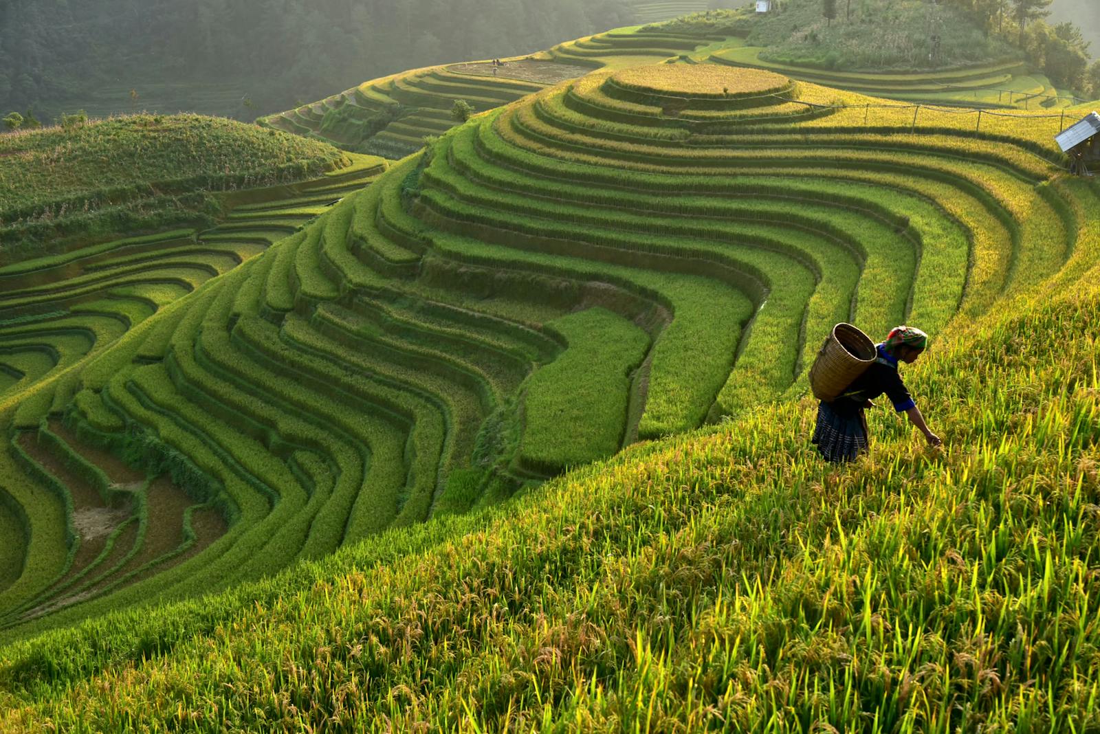
Sustainably feeding 10 billion people and conserving biodiversity on a warming planet is a grand challenge of the 21st century. The situation is daunting—yield trends are not on track to meet projected demand, expanding agricultural lands drive tropical deforestation, extreme heat days are more common, and malnutrition now affects all countries. Recent research has identified and quantified opportunities and risks related to improving yields, increasing efficiency (water, fertilizer, land base), decreasing food waste, shifting to a plant-based diet, changing climate, and biodiversity conservation. While greatly advancing our understanding the opportunities and challenges of parts of the global food system, these analyses generally focus on a limited number of factors and analyze discrete scenarios. To achieve the larger goal of feeding 10 billion and conserving biodiversity, it is necessary to create a roadmap with tools that allow exploration of a wide range of scenarios. That roadmap, in turn, requires novel data and tools and integration of the pieces to determine the best trajectories in “solution space”. This project will serve as a critical cornerstone for creating the Global Roadmap to feeding 10 billion people in a climate-constrained world.
Updated crop production
Data on crops and how they are used are the foundation of food security assessments. The yield and harvested data that our team previously created have become the standard used by food security experts around the world. However, the data for the majority of crops is two decades out of date. UMN recently updated the data for ten crops, which account for 83 percent of calorie production on croplands. As these crops are mostly grain, tuber, and oil crops, they are inadequate for assessing production of many micronutrients generally found in fruits and vegetables. They also represent only 42 percent of crop agricultural value, and so can be of limited utility for global- scale economic analyses.
The crux of the first stage of this proposal is to leverage these 10 updated crop datasets to update another 30 or so crops by at least a decade. We will use the updated crop datasets to constrain and spatialize recent national-level census data. These updates will leverage a five- year investment of updating 10 crops by allowing us to develop/test methods for more frequent, rapid updates by comparing our rapid update approach with the time-intensive process of compiling typically 5,000 subnational data points for crop yield and area.
The updated datasets will be further constrained by limiting new cropland to satellite-identified areas.
Data validation is a key component of this process, and this project will compare “rapid-update” maps to the Ray et all dataset. This comparison is carried out in the context of an application – thus is it critical to approach both aspects of this proposal together.
Updated crop utilization maps
This project will apply the improved crop datasets to update an analysis the UNM team carried out on the fraction of crop production that is used for food, feed, and fuel. These maps will be re-created with current data on biofuels production practices and allocation of industrially-processed commodities. The product will be applicable to high-resolution analyses of caloric and nutritional food availability.

Sign up to receive monthly updates about our work.