

Ecuadorian Coastal Forests & Flooded Grasslands bioregion
The bioregion’s land area is provided in units of 1,000 hectares. The conservation target is the combined Global Safety Net (GSN1) areas for the component ecoregions. The protection level indicates the percentage of the GSN goal that is currently protected on a scale of 0-10. N/A means data is not available at this time.
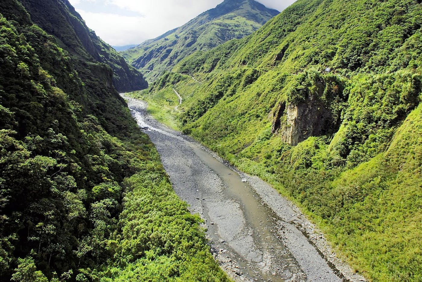
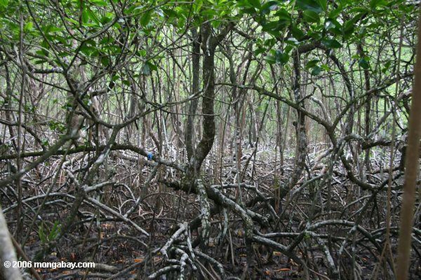
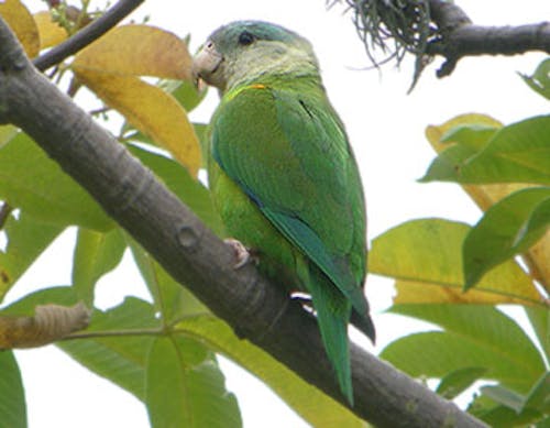
The Ecuadorian Coastal Forests & Flooded Grasslands bioregion, located in the Andes & Pacific Coast subrealm in Southern America, is centered on the Gulf of Guayaquil, the mouth of the Guayas River. The bioregion has four terrestrial ecoregions—Western Ecuador Moist Forests (516), Tumbes-Piura Dry Forests (549), Ecuadorian Dry Forests (531), Guayaquil Flooded Grasslands (582)—and adjacent marine areas, which include the South American Pacific Mangroves (615). The land area of this bioregion is approximately 10 million hectares.
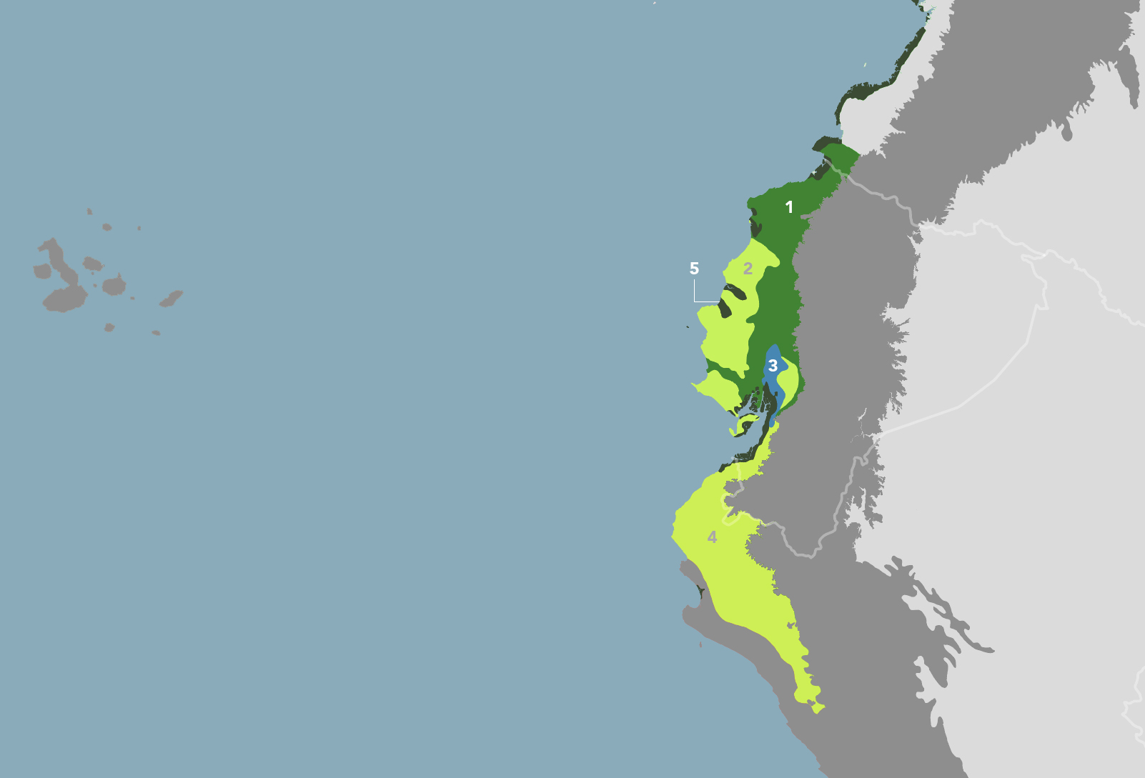
The Ecuadorian Coastal Forests & Flooded Grasslands bioregion is part of the Andes & Pacific Coast subrealm in Southern America and is made up of five ecoregions: (1) Western Ecuador Moist Forests (2) Ecuadorian Dry Forests (3) Guayaquil Flooded Grasslands (4) Tumbes-Piura Dry Forests (5) South American Pacific Mangroves.
Learn more about each of the Ecuadorian Coastal Forests & Flooded Grasslands ecoregions below.

Subscribe to receive monthly updates on climate solutions, environmental heroes, and the profound beauty and wonder of our shared planet Earth.

Explore the Bioregions
Want to learn more about the fascinating species, diverse ecosystems, and natural wonders of the Earth? Click the button below to launch One Earth's interactive navigator and discover your Bioregion!
LAUNCH NAVIGATOR