Greater Australian Interior Desert & Shrublands bioregion
The bioregion’s land area is provided in units of 1,000 hectares. The conservation target is the combined Global Safety Net (GSN1) areas for the component ecoregions. The protection level indicates the percentage of the GSN goal that is currently protected on a scale of 0-10. N/A means data is not available at this time.
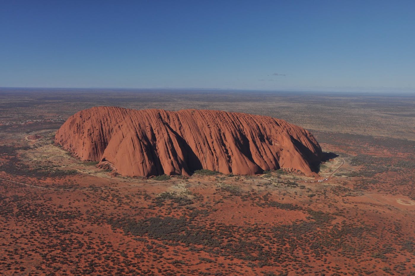
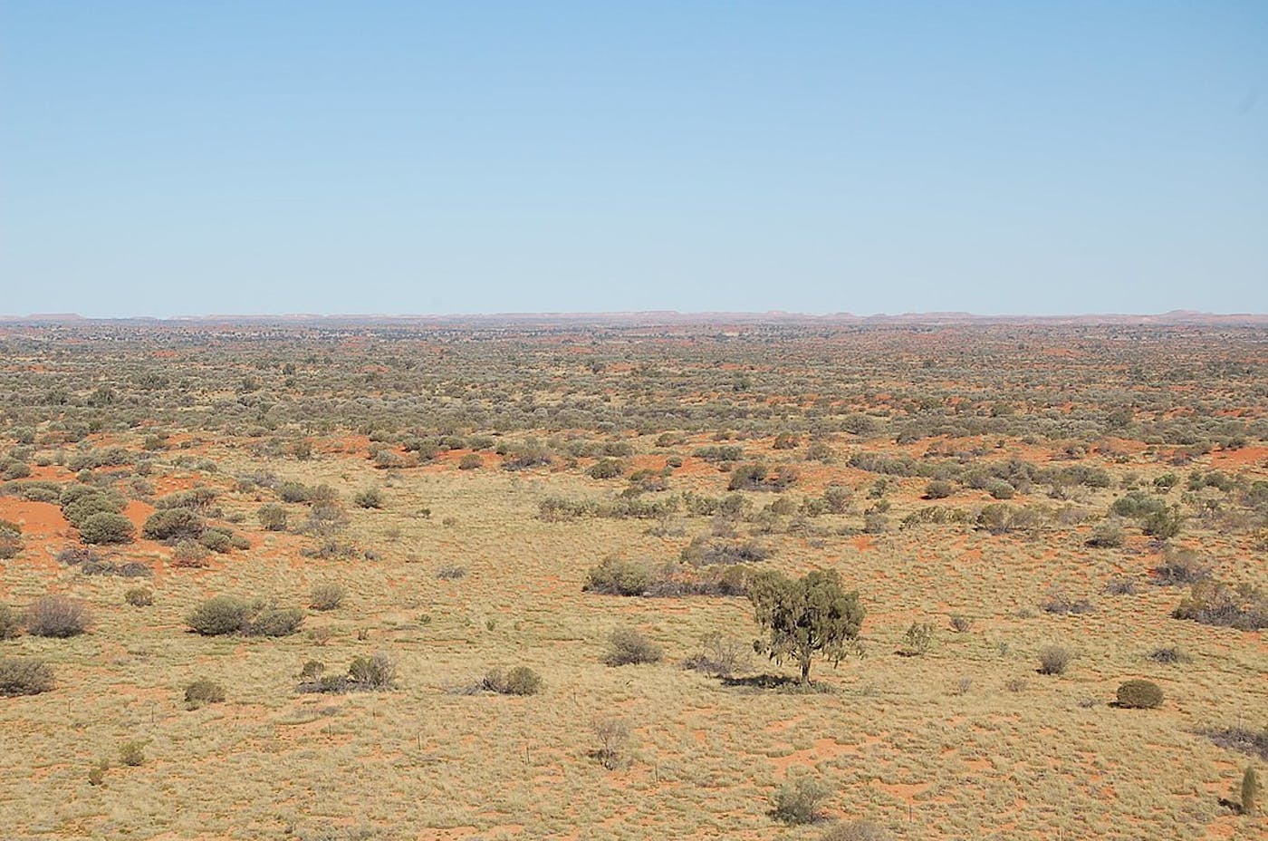
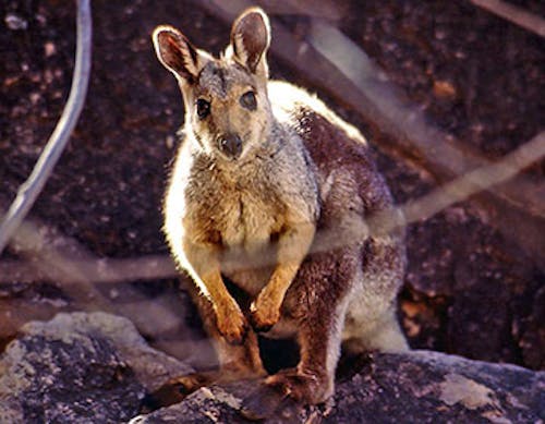
The Greater Australian Interior Desert & Shrublands bioregion, located in the Australia subrealm of Australasia, represents a huge expanse of desert and dry shrublands with the famous Uluru, or Ayers Rock, in the center of the continent, a site that is sacred to its Indigenous people. The bioregion contains eight distinct ecoregions—Central Ranges Xeric Scrub (208), Gibson Desert (209), Great Sandy-Tanami Desert (210), Great Victoria Desert (211), Nullarbor Plains Xeric Shrublands (212), Simpson Desert (214), Tirari-Stuart Stony Desert (215), Western Australian Mulga Shrublands (216)—with a total area of more than 325 million hectares.
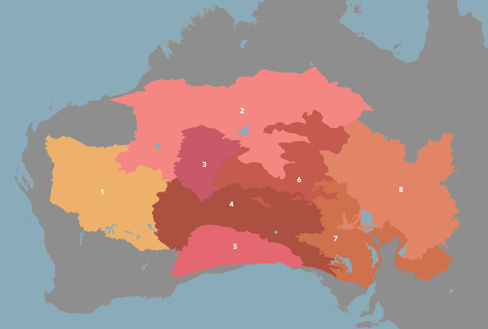
The Greater Australian Interior Desert & Shrublands bioregion is part of the Australia subrealm and is made up of eight ecoregions: Western Australian Mulga Shrublands [1], Great Sandy-Tanami Desert [2], Gibson Desert [3], Great Victoria Desert [4], Nullarbor Plains Xeric Shrublands [5], Central Ranges Xeric Scrub [6], Tirari-Stuart Stony Desert [7], Simpson Desert [8].
Learn more about each of the Greater Australian Interior Desert & Shrublands ecoregions below.

Subscribe to receive monthly updates on climate solutions, environmental heroes, and the profound beauty and wonder of our shared planet Earth.

Explore the Bioregions
Want to learn more about the fascinating species, diverse ecosystems, and natural wonders of the Earth? Click the button below to launch One Earth's interactive navigator and discover your Bioregion!
LAUNCH NAVIGATOR