New Guinea & Surrounding Islands bioregion
The bioregion’s land area is provided in units of 1,000 hectares. The conservation target is the combined Global Safety Net (GSN1) areas for the component ecoregions. The protection level indicates the percentage of the GSN goal that is currently protected on a scale of 0-10. N/A means data is not available at this time.
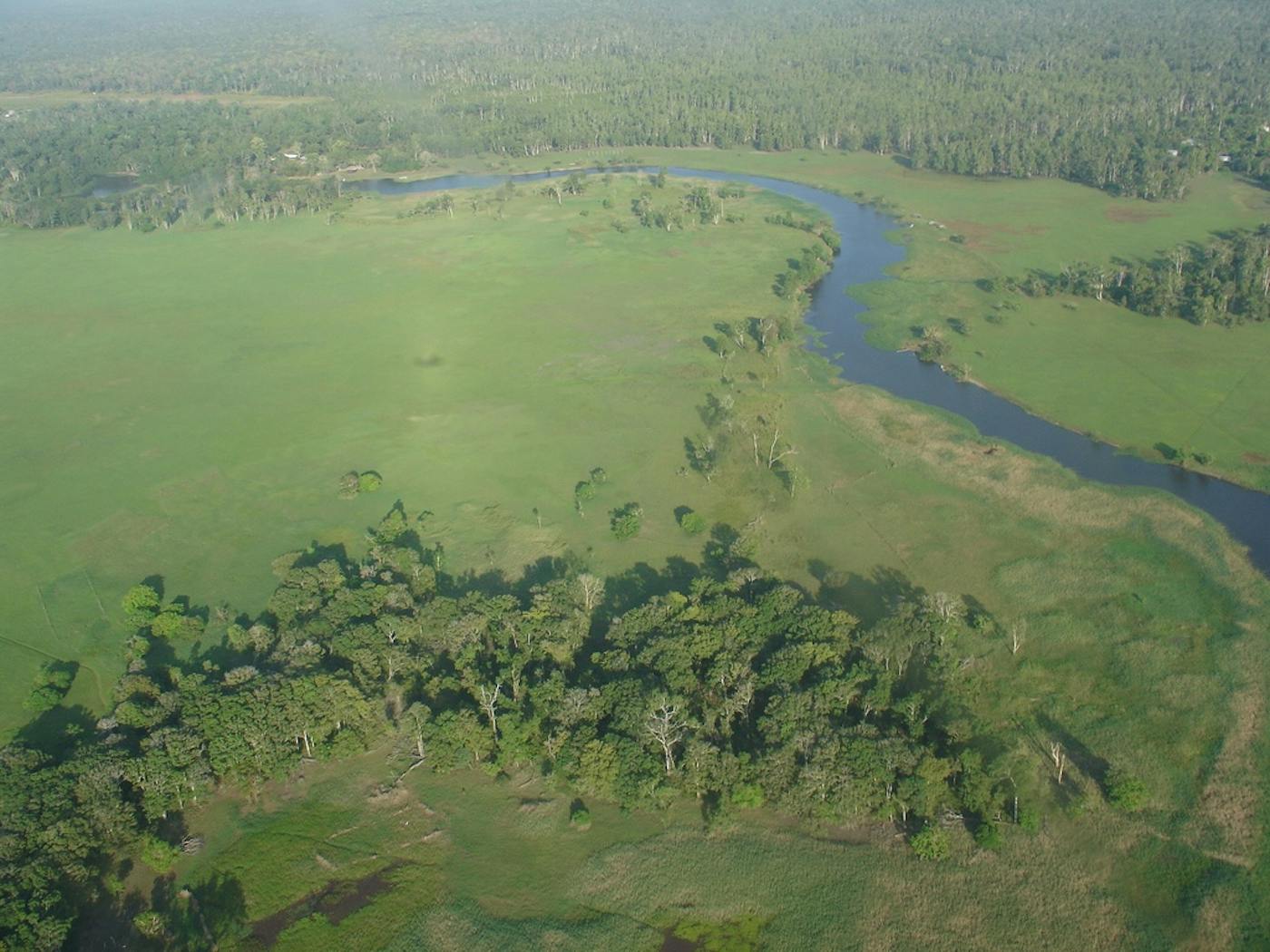
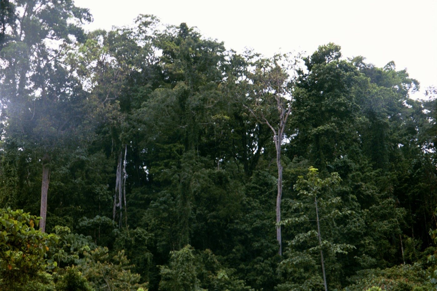
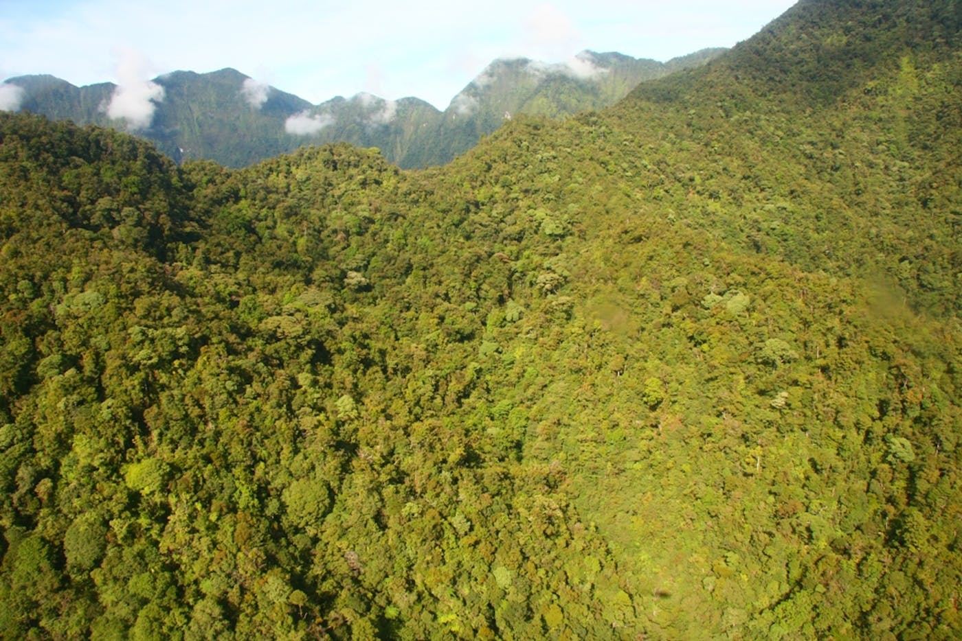
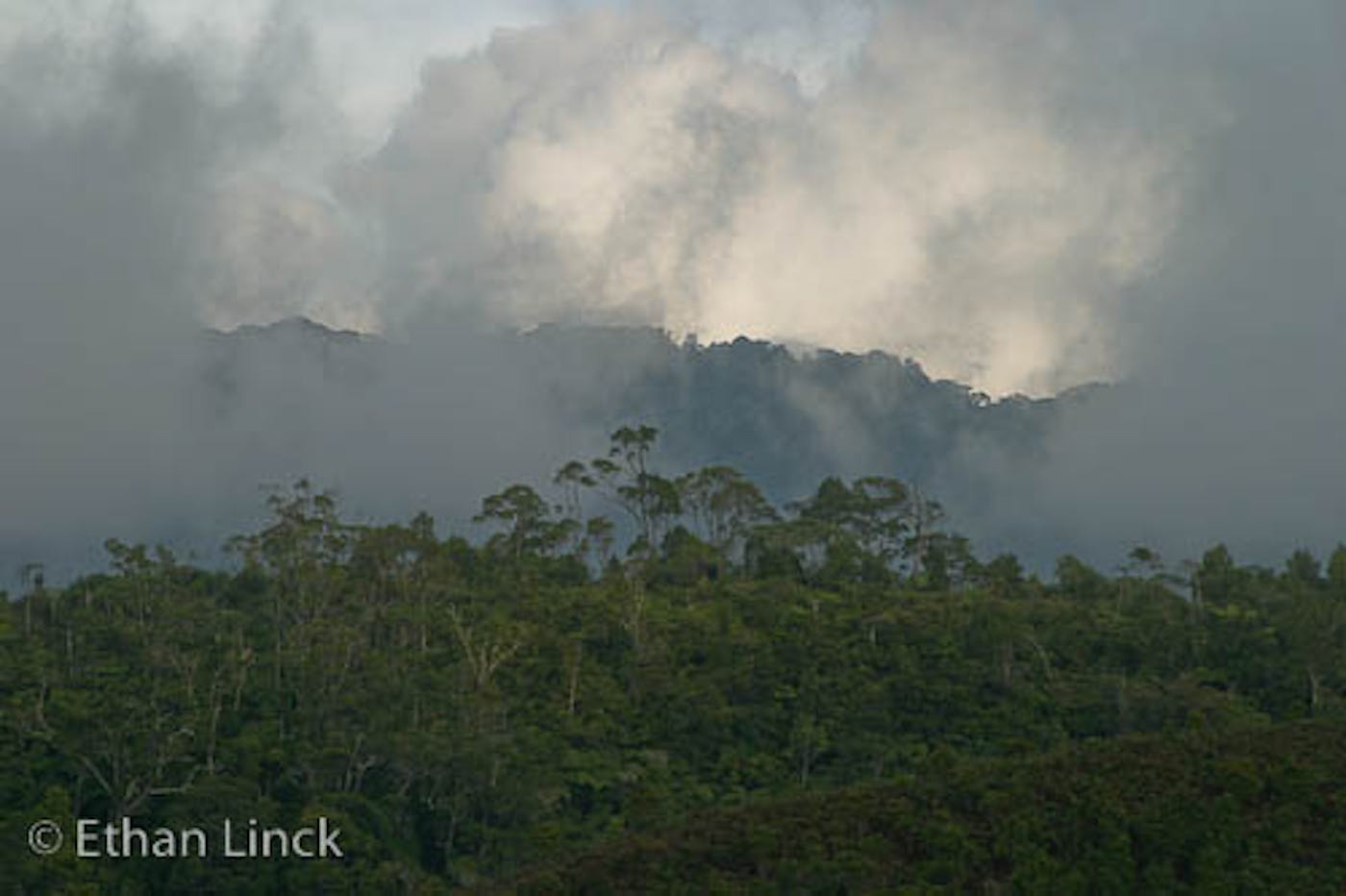
The New Guinea bioregion, located in the Australasia realm, is the world’s second largest island (after Greenland) separated from Australia by the Torres Strait. New Guinea and its surrounding islands make up the northernmost grouping of islands in Melanesia. This bioregion is dominated by rainforests and swamp forests with extensive mangroves. Along the island’s central mountain ridge high-altitude grasslands are found, with tropical grasslands in the south of the island, just opposite Cape York in Australia. Altogether, the bioregion has 19 ecoregions—Admiralty Islands Lowland Rain Forests (135), Biak-Numfoor Rain Forests (137), Central Range Papuan Montane Rain Forests (139), Huon Peninsula Montane Rain Forests (141), Louisiade Archipelago Rain Forests (143), New Britain-New Ireland Lowland Rain Forests (144), New Britain-New Ireland Montane Rain Forests (145), Northern New Guinea Lowland Rain and Freshwater Swamp Forests (148), Northern New Guinea Montane Rain Forests (149), Southeastern Papuan Rain Forests (153), Southern New Guinea Freshwater Swamp Forests (154), Southern New Guinea Lowland Rain Forests (155), Trobriand Islands Rain Forests (158), Vogelkop Montane Rain Forests (160), Vogelkop-Aru Lowland Rain Forests (161), Yapen Rain Forests (162), Trans Fly Savanna and Grasslands (188), Papuan Central Range Sub-Alpine Grasslands (195), New Guinea Mangroves (217). This bioregion is one of the most biodiverse places on the planet, harboring 5-10% of all known species. Its total land area is nearly 88 million hectares, and it is home to over a thousand tribal groups, 44 of which are uncontacted.
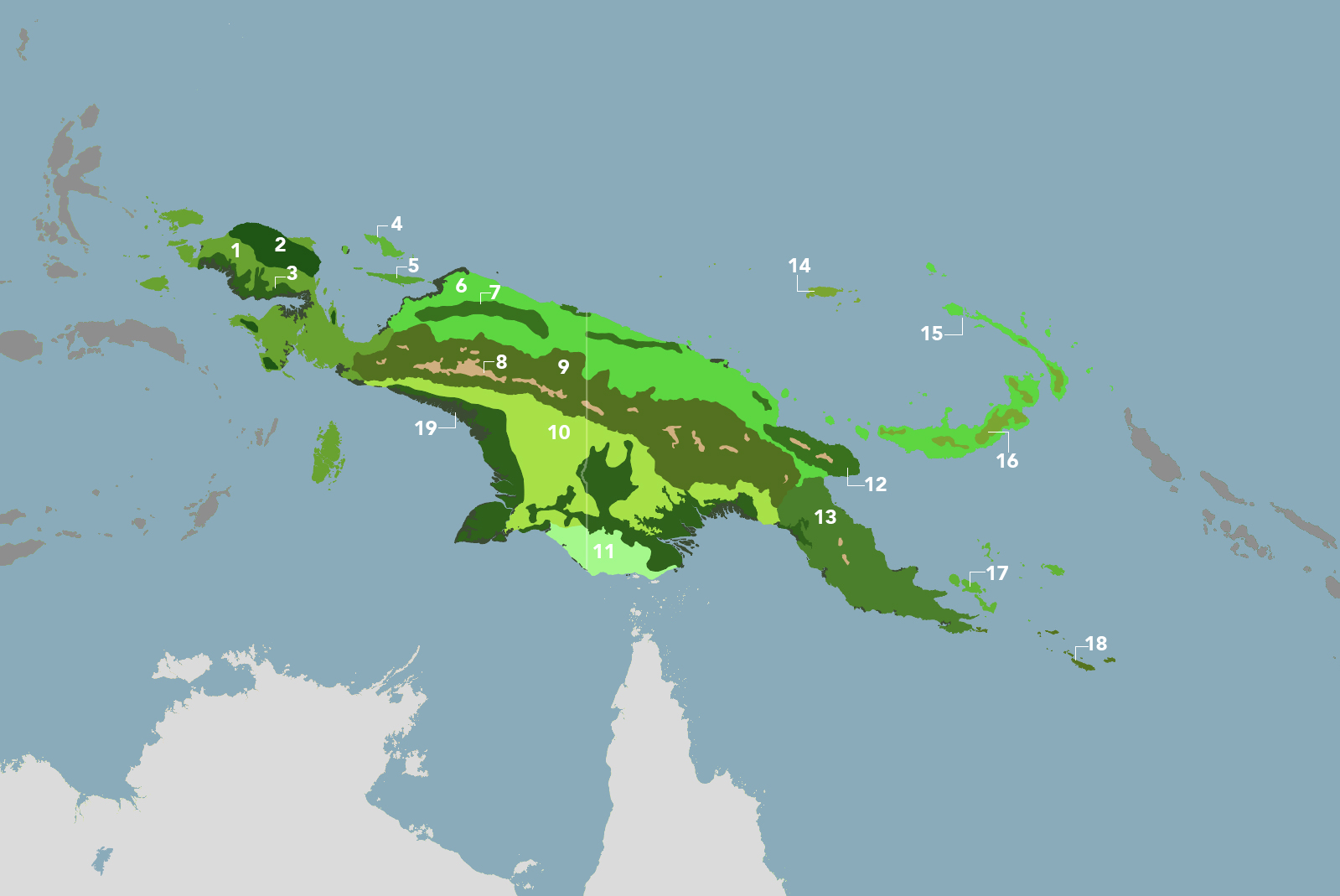
The New Guinea & Surrounding Islands bioregion is part of the Australasian Islands & Eastern Indonesia subrealm and is made up of 19 ecoregions: Vogelkop-Aru Lowland Rainforests [1], Vogelkop Montane Rainforests [2], Southern New Guinea Freshwater Swamp Forests [3], Biak-Numfor Rainforests [4], Yapen Rainforests [5], Northern New Guinea Lowland Rain and Freshwater Swamp Forests [6], Northern New Guinea Montane Rainforests [7], Papuan Central Range Sub-Alpine Grasslands [8], Central Range Papuan Montane Rainforests [9], Southern New Guinea Lowland Rain Forests [10], Trans Fly Savanna and Grasslands [11], Huon Peninsula Montane Rainforests [12], Southeastern Papuan Rainforests [13], Admiralty Islands Lowland Rainforests [14], New Britain-New Ireland Lowland Rainforests [15], New Britain-New Ireland Montane Rainforests [16], Trobriand Islands Rainforests [17], Louisiade Archipelago Rainforests [18], New Guinea Mangroves [19].
Learn more about each of the New Guinea & Surrounding Islands ecoregions below.

Subscribe to receive monthly updates on climate solutions, environmental heroes, and the profound beauty and wonder of our shared planet Earth.

Explore the Bioregions
Want to learn more about the fascinating species, diverse ecosystems, and natural wonders of the Earth? Click the button below to launch One Earth's interactive navigator and discover your Bioregion!
LAUNCH NAVIGATOR