.jpg?auto=compress%2Cformat&w=1400)
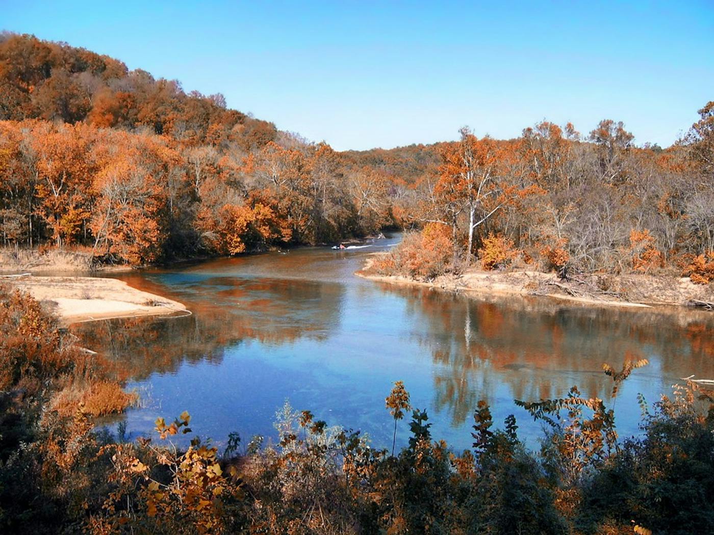
Ozarks Mixed Forests bioregion
The bioregion’s land area is provided in units of 1,000 hectares. The conservation target is the combined Global Safety Net (GSN1) areas for the component ecoregions. The protection level indicates the percentage of the GSN goal that is currently protected on a scale of 0-10. N/A means data is not available at this time.
The bioregion spanning the forests of the Ozark mountains and highlands, located in the Southeast US Savannas & Forests subrealm of Northern America, sits between the pine woods to the south and the central grassland-forest transition to the north, bordered to the east by the lower Mississippi valley. It contains two ecoregions—Ozark Highlands Mixed Forests (340), Ozark Mountain Forests (341)—and includes most of the Arkansas River. The total area of this bioregion is nearly 18 million hectares.
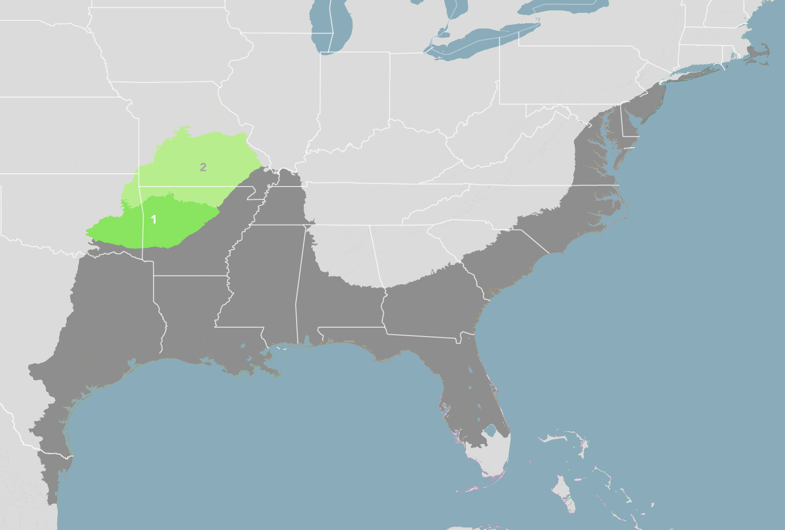
The Ozarks Mixed Forests bioregion is part of the Southeast US Savannas & Forests subrealm and is made up of two ecoregions: (1) Ozark Mountain Forests (2) Ozark Highlands Mixed Forests.
Learn more about each of the Ozarks Mixed Forests ecoregions below.


Subscribe to receive monthly updates on climate solutions, environmental heroes, and the profound beauty and wonder of our shared planet Earth.

Explore the Bioregions
Want to learn more about the fascinating species, diverse ecosystems, and natural wonders of the Earth? Click the button below to launch One Earth's interactive navigator and discover your Bioregion!
LAUNCH NAVIGATOR