Pantanal Flooded Grasslands & Dry Forests bioregion
The bioregion’s land area is provided in units of 1,000 hectares. The conservation target is the combined Global Safety Net (GSN1) areas for the component ecoregions. The protection level indicates the percentage of the GSN goal that is currently protected on a scale of 0-10. N/A means data is not available at this time.
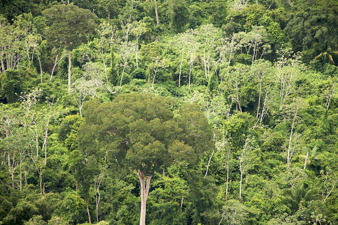
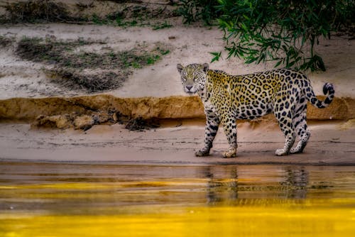
The Pantanal bioregion, located in the Brazil Cerrado & Atlantic Coast subrealm, lies just below the Amazon Basin, straddling the border between Brazil and Bolivia. It consists of two intertwined ecoregions—Chiquitano Dry Forests (529), Pantanal (584)—fed by the Paraguay River and hundreds of small lakes. It contains both the world’s largest tropical wetland and largest flooded grasslands, as well as fry tropical forests. A UNESCO heritage site, this bioregion has the highest concentration of bird, fish, and vertebrate wildlife on the continent and is home to the world’s largest jaguars. Its land area is approximately 40 million hectares.
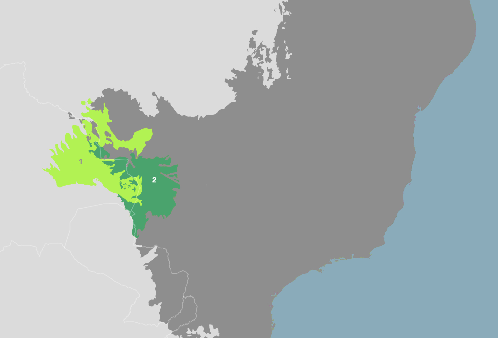
The Pantanal Flooded Grasslands & Dry Forests bioregion is part of the Brazil Cerrado & Atlantic Coast subrealm and is made up of two ecoregions: (1) Chiquitano Dry Forests (2) Pantanal.
Learn more about each of the Pantanal Flooded Grasslands & Dry Forests ecoregions below.

Subscribe to receive monthly updates on climate solutions, environmental heroes, and the profound beauty and wonder of our shared planet Earth.

Explore the Bioregions
Want to learn more about the fascinating species, diverse ecosystems, and natural wonders of the Earth? Click the button below to launch One Earth's interactive navigator and discover your Bioregion!
LAUNCH NAVIGATOR