Sahel Acacia Savannas bioregion
The bioregion’s land area is provided in units of 1,000 hectares. The conservation target is the combined Global Safety Net (GSN1) areas for the component ecoregions. The protection level indicates the percentage of the GSN goal that is currently protected on a scale of 0-10. N/A means data is not available at this time.
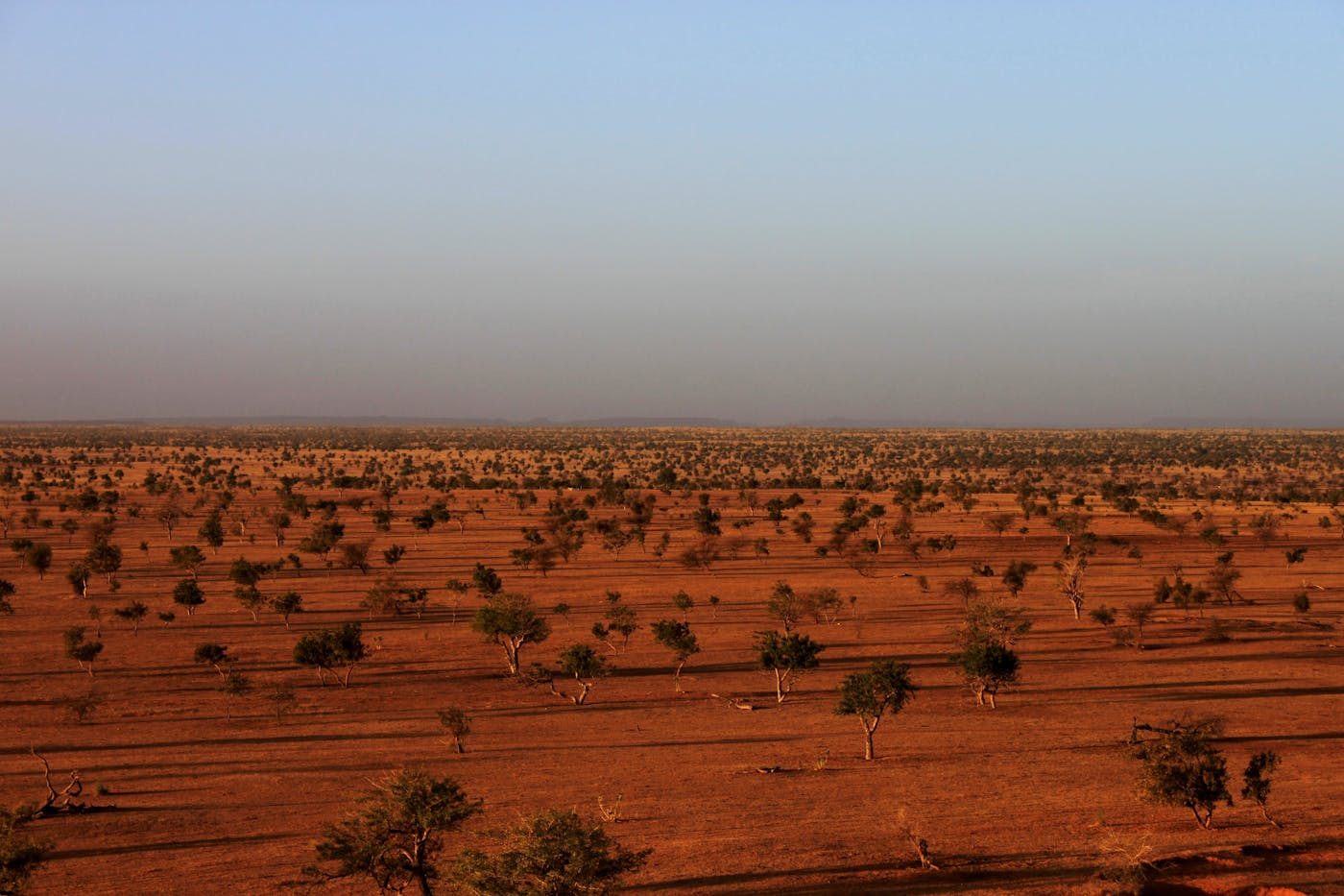
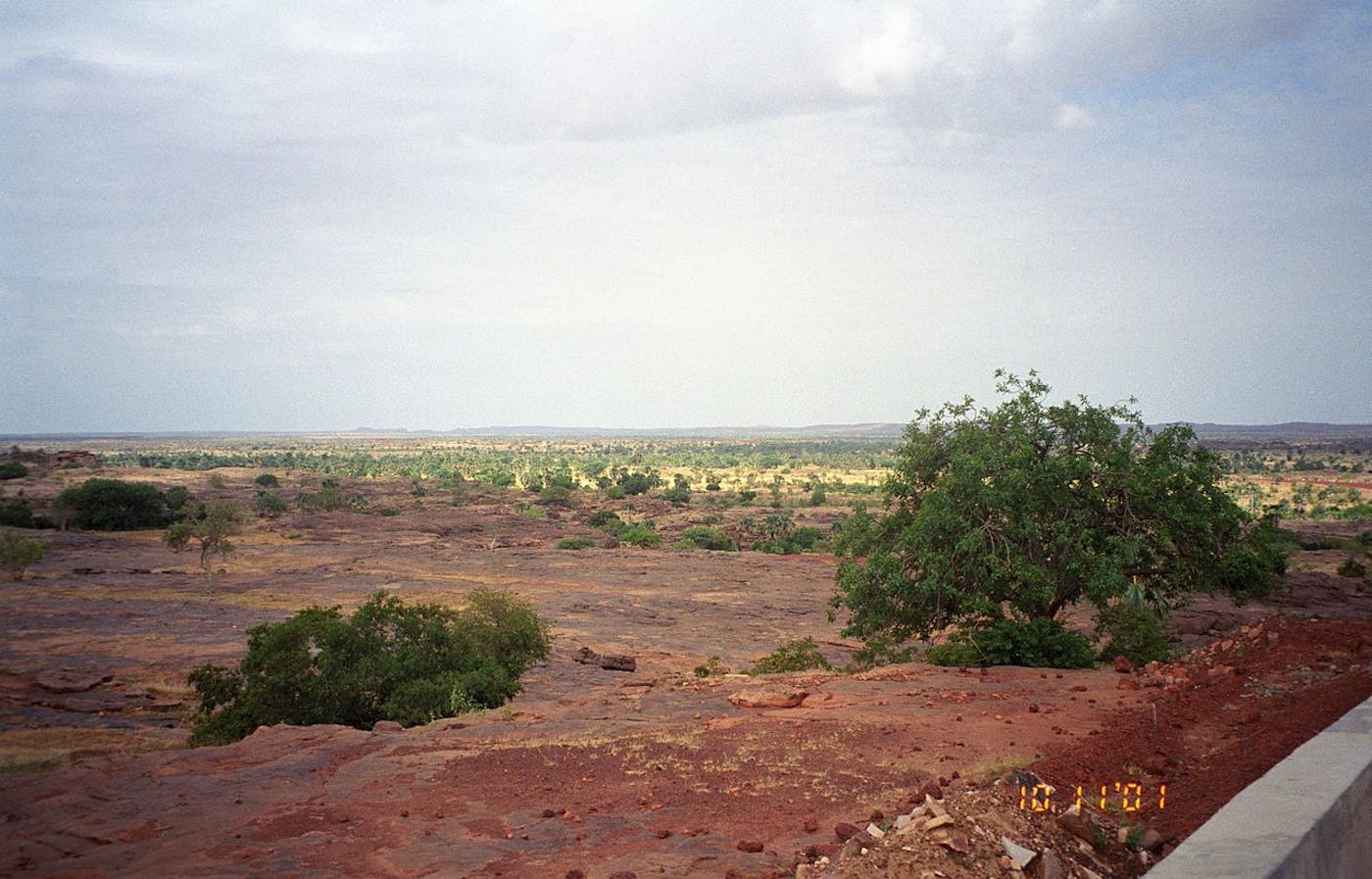
The Sahel Acacia Savannas bioregion, located in the Sub-Saharan Afrotropics subrealm, consists almost entirely of one ecoregion—Sahelian Acacia Savanna [53]—that spans across the width of the continent from northern Senegal and Mauritania on the Atlantic coast to Sudan and Eritrea on the Red Sea. Commonly referred to as the ‘Sahel’—this ecoregion comprises a grassland-dominated transition zone between savanna woodlands to the south and the Sahara Desert to the north.
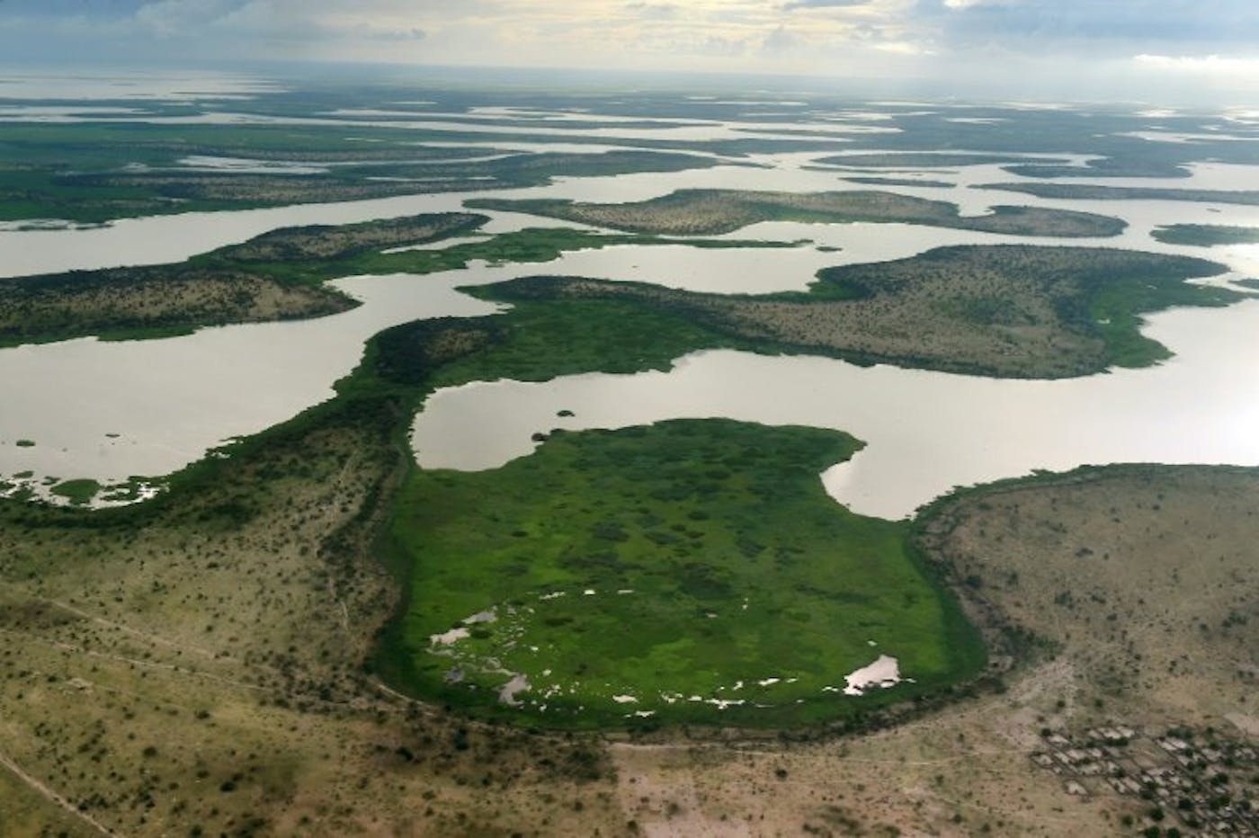
The Sahelian climate is tropical, hot, and strongly seasonal. It also includes two very unique flooded savanna ecoregions—Inner Niger Delta Flooded Savanna [71], Lake Chad Flooded Savanna [72]—and altogether, the bioregion has a land area of nearly 377 million hectares.

The Sahel Acacia Savannas bioregion is part of the Sub-Saharan Afrotropics subrealm and is made up of three ecoregions: Inner Niger Delta Flooded Savanna [1], Sahelian Acacia Savanna [2], Lake Chad Flooded Savanna [3].
Learn more about the Sahel Acacia Savannas ecoregions below.

Subscribe to receive monthly updates on climate solutions, environmental heroes, and the profound beauty and wonder of our shared planet Earth.

Explore the Bioregions
Want to learn more about the fascinating species, diverse ecosystems, and natural wonders of the Earth? Click the button below to launch One Earth's interactive navigator and discover your Bioregion!
LAUNCH NAVIGATOR