
Southeast Indonesian Dry Forest Islands bioregion
The bioregion’s land area is provided in units of 1,000 hectares. The conservation target is the combined Global Safety Net (GSN1) areas for the component ecoregions. The protection level indicates the percentage of the GSN goal that is currently protected on a scale of 0-10. N/A means data is not available at this time.
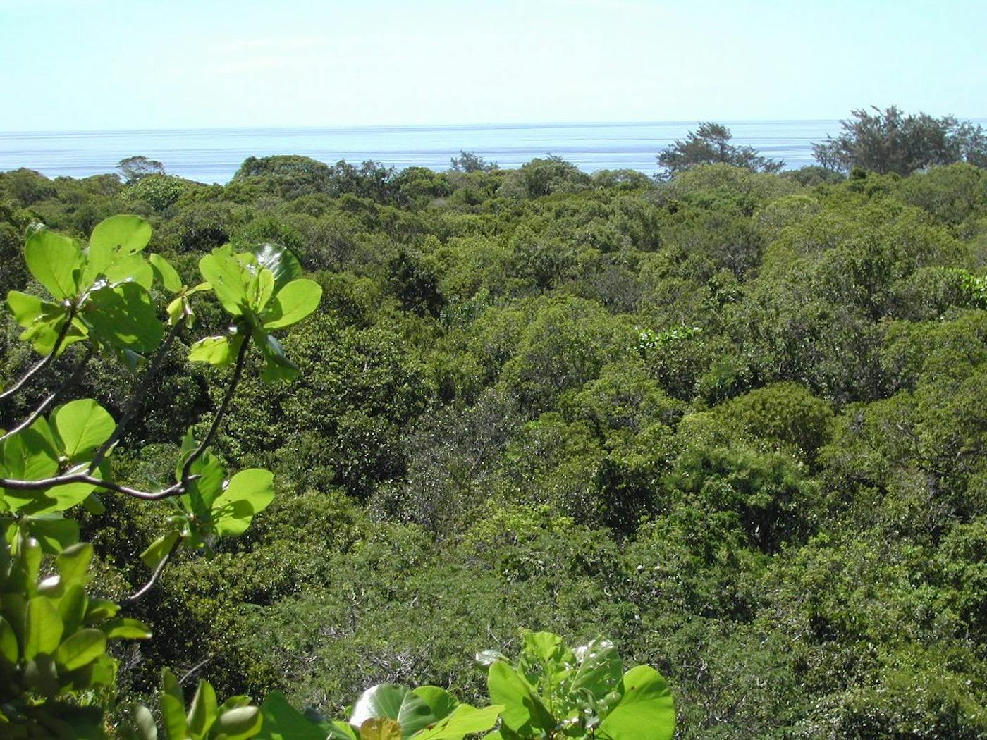
The Southeast Indonesian bioregion, located in the Australasia realm, includes most of the Lesser Sunda Islands, of long chain of volcanic islands running along the Flores and Savu Seas, from Timor-Leste to the Lombok Strait that divides the Australasian and Indomalayan realms. This bioregion is dominated by tropical dry forests with three ecoregions—Lesser Sundas Deciduous Forests (163), Sumba Deciduous Forests (165) Timor and Wetar Deciduous Forests (166)—totaling more than eight million hectares of land area.
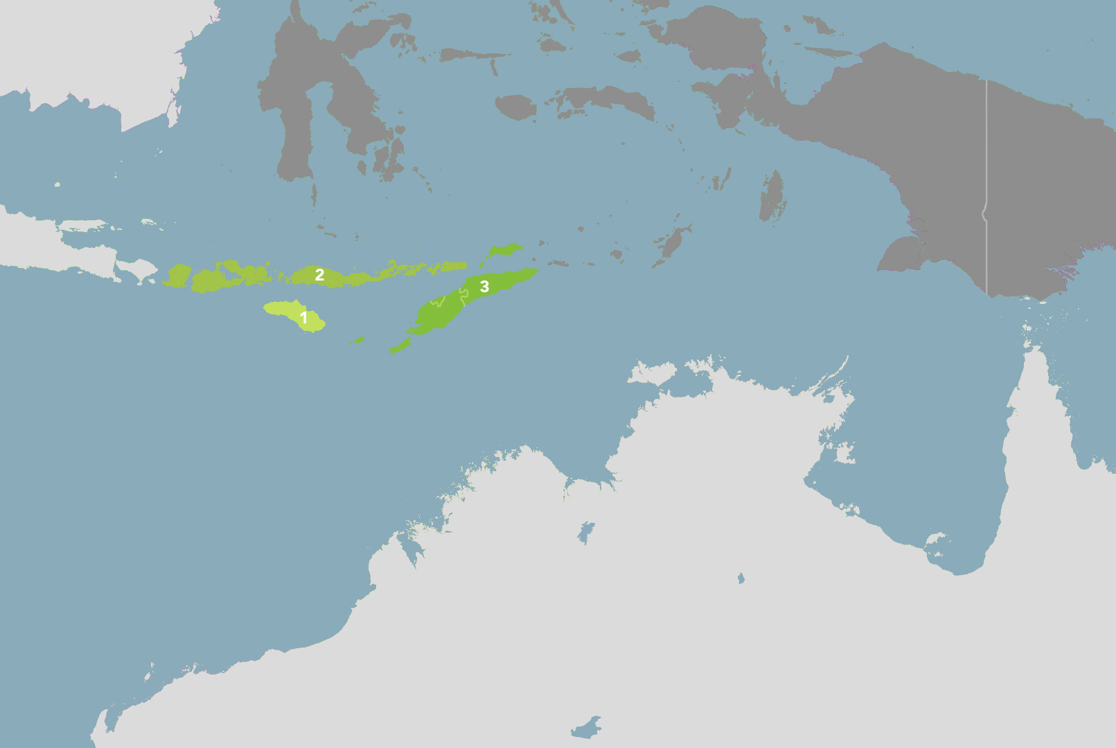
The Southeast Indonesian Dry Forest Islands bioregion is part of the Australasian Islands & Eastern Indonesia subrealm and is made up of three ecoregions: Sumba Deciduous Forests [1], Lesser Sundas Deciduous Forests [2], Timor and Wetar Deciduous Forests [3].
Learn more about each of the Southeast Indonesian Dry Forest Islands ecoregions below.

Subscribe to receive monthly updates on climate solutions, environmental heroes, and the profound beauty and wonder of our shared planet Earth.

Explore the Bioregions
Want to learn more about the fascinating species, diverse ecosystems, and natural wonders of the Earth? Click the button below to launch One Earth's interactive navigator and discover your Bioregion!
LAUNCH NAVIGATOR