

Southern Prairie Mixed Grasslands bioregion
The bioregion’s land area is provided in units of 1,000 hectares. The conservation target is the combined Global Safety Net (GSN1) areas for the component ecoregions. The protection level indicates the percentage of the GSN goal that is currently protected on a scale of 0-10. N/A means data is not available at this time.
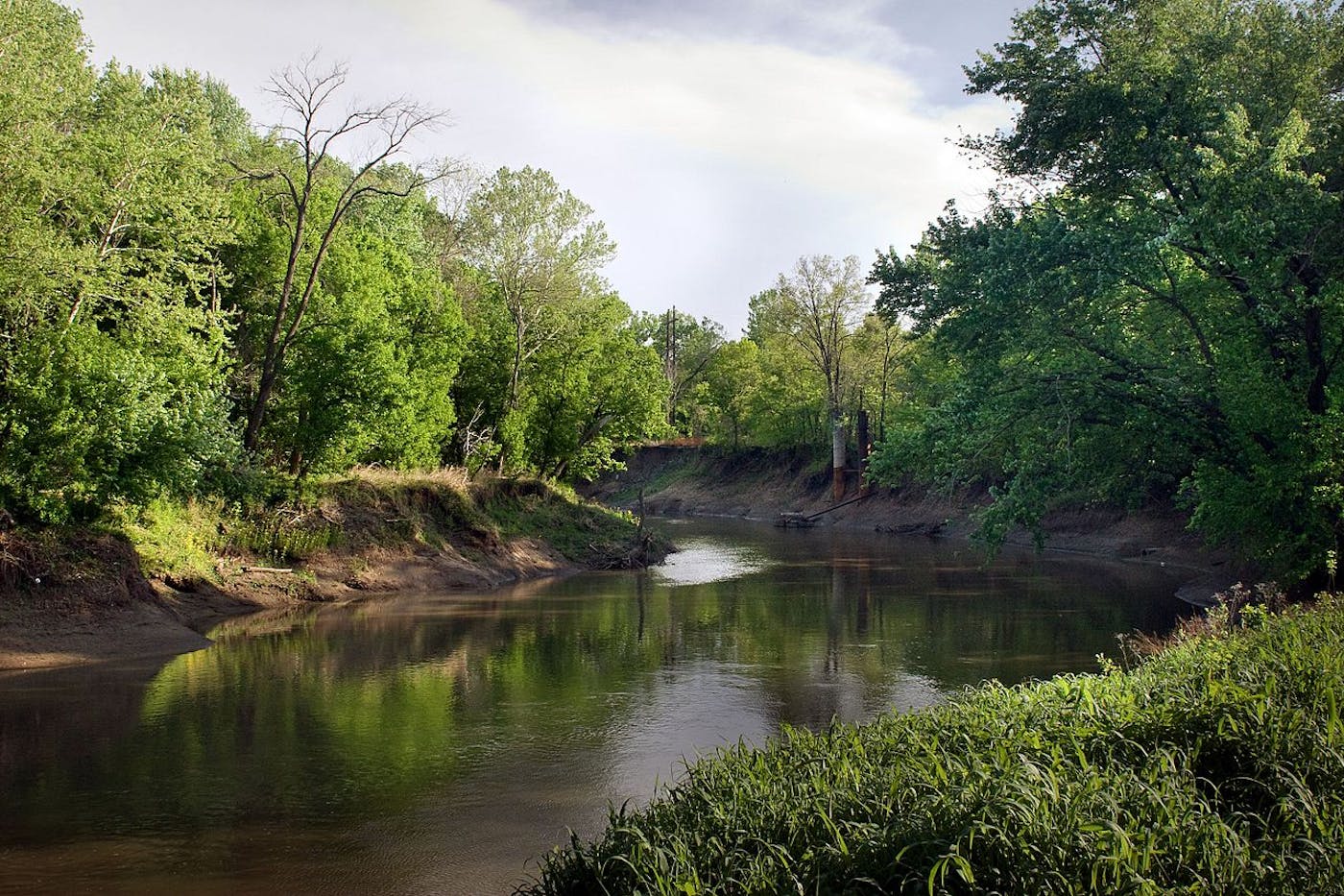
The Southern Prairie bioregion, located in the Northern America (Nearctic) realm, is the lower section of the Great Plains subrealm and is composed entirely of grasslands stretching from the top of Nebraska to southern Texas, bounded by the Rockies to the west. It contains five ecoregions – (1) Western Shortgrass Prairie (2) Nebraska Sand Hills Mixed Grasslands (3) Central-Southern US Mixed Grasslands (4) Cross-Timbers Savanna-Woodland (5) Edwards Plateau Savanna – and has largely been converted to farmland. The total area of this bioregion is nearly 99 million hectares.
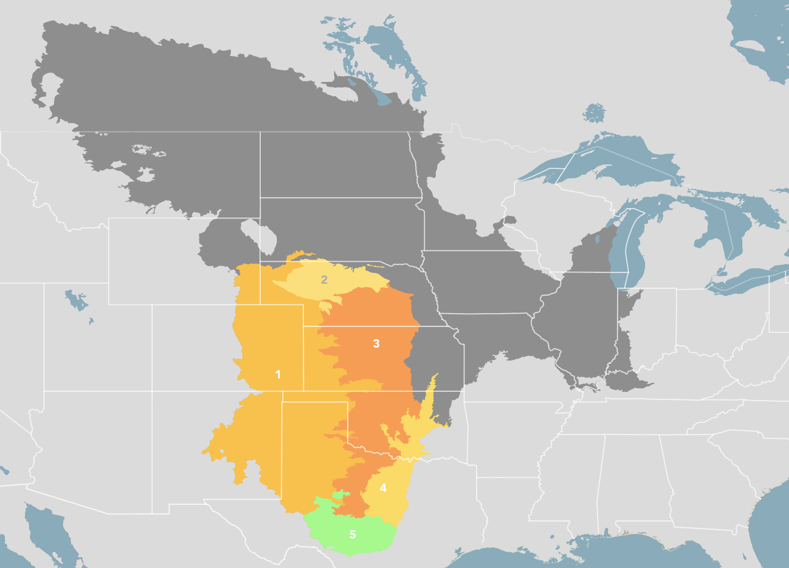
The Southern Prairie Mixed Grasslands bioregion is part of the Great Plains subrealm and is made up of five ecoregions: (1) Western Shortgrass Prairie (2) Nebraska Sand Hills Mixed Grasslands (3) Central-Southern US Mixed Grasslands (4) Cross-Timbers Savanna-Woodland (5) Edwards Plateau Savanna.
Learn more about each of the Southern Prairie Mixed Grasslands ecoregions below.

Subscribe to receive monthly updates on climate solutions, environmental heroes, and the profound beauty and wonder of our shared planet Earth.

Explore the Bioregions
Want to learn more about the fascinating species, diverse ecosystems, and natural wonders of the Earth? Click the button below to launch One Earth's interactive navigator and discover your Bioregion!
LAUNCH NAVIGATOR