West Australian Dry Coastal Shrublands bioregion
The bioregion’s land area is provided in units of 1,000 hectares. The conservation target is the combined Global Safety Net (GSN1) areas for the component ecoregions. The protection level indicates the percentage of the GSN goal that is currently protected on a scale of 0-10. N/A means data is not available at this time.
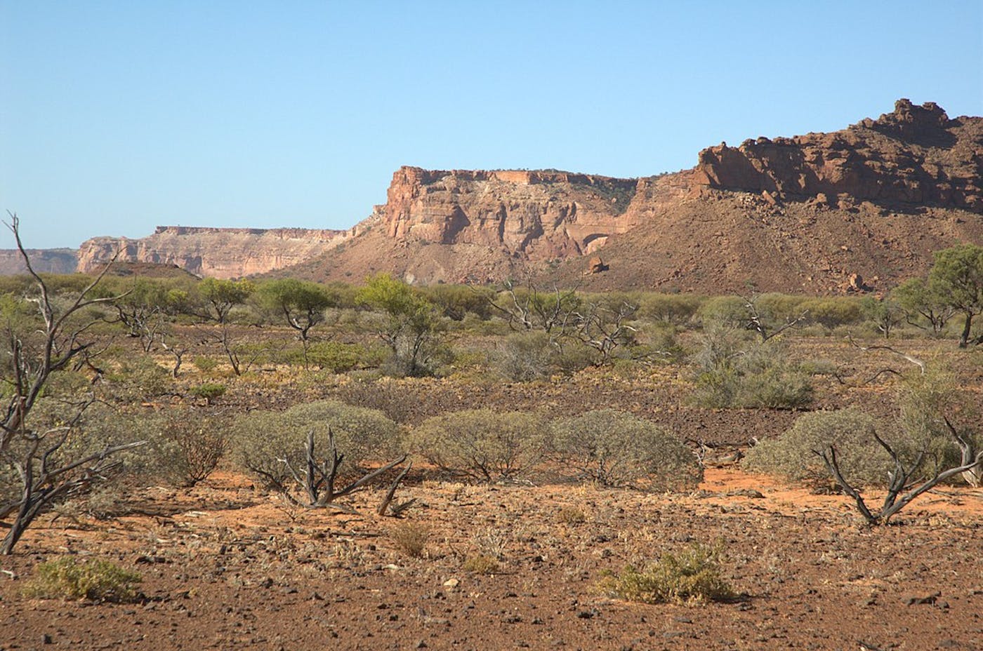
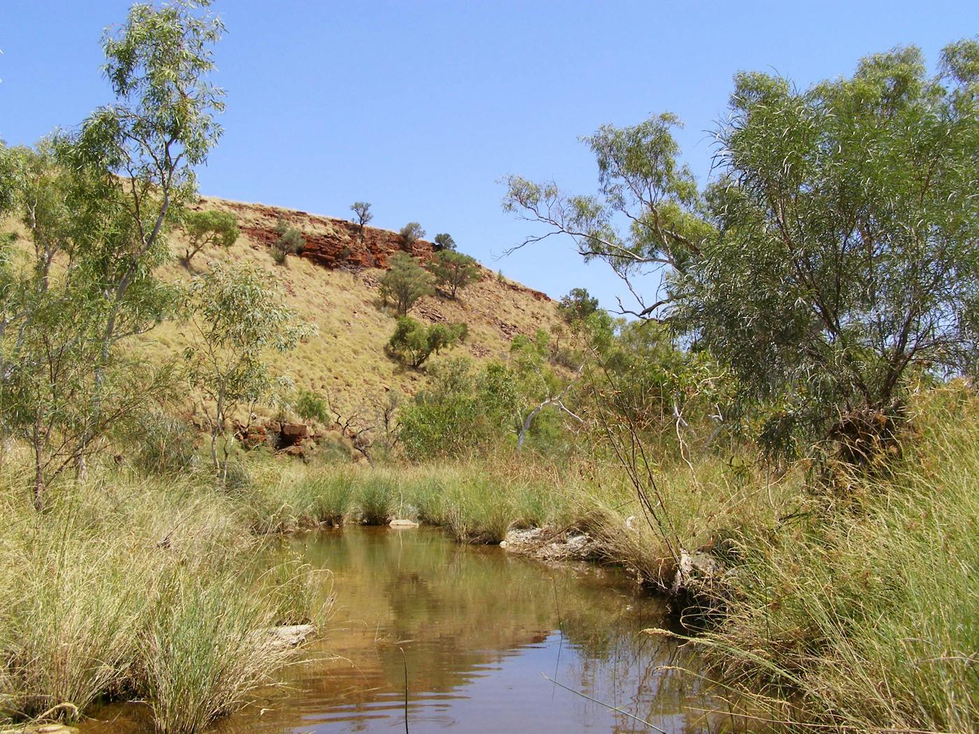
The West Australian bioregion, located in the Australia subrealm, includes the dry shrublands on the continent’s west coast, from Shark Bay to the beginning of Eighty Mile Beach in the northwest. It contains two ecoregions—Carnarvon Xeric Shrublands (207), Pilbara Shrublands (213)—and adjacent marine areas in the Indian Ocean. The total land area of this bioregion is more than 26 million hectares.
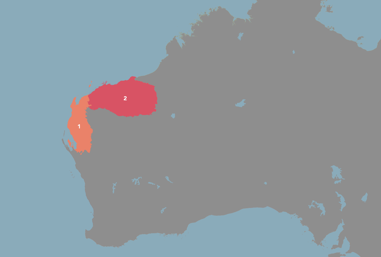
The West Australian Dry Coastal Shrublands bioregion is part of the Australia subrealm and is made up of two ecoregions: Carnarvon Xeric Shrublands [1], Pilbara Shrublands [2].
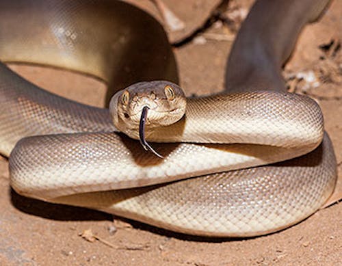
Learn more about each of the West Australian Dry Coastal Shrublands ecoregions below.

Subscribe to receive monthly updates on climate solutions, environmental heroes, and the profound beauty and wonder of our shared planet Earth.

Explore the Bioregions
Want to learn more about the fascinating species, diverse ecosystems, and natural wonders of the Earth? Click the button below to launch One Earth's interactive navigator and discover your Bioregion!
LAUNCH NAVIGATOR