Western Amazonian Forests & Plains bioregion
The bioregion’s land area is provided in units of 1,000 hectares. The conservation target is the combined Global Safety Net (GSN1) areas for the component ecoregions. The protection level indicates the percentage of the GSN goal that is currently protected on a scale of 0-10. N/A means data is not available at this time.
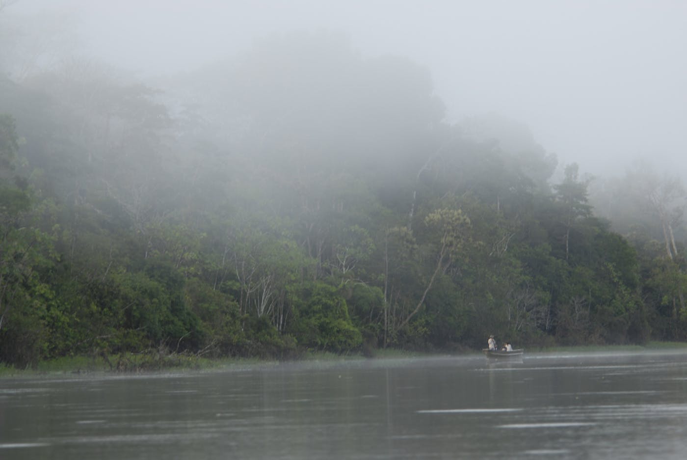
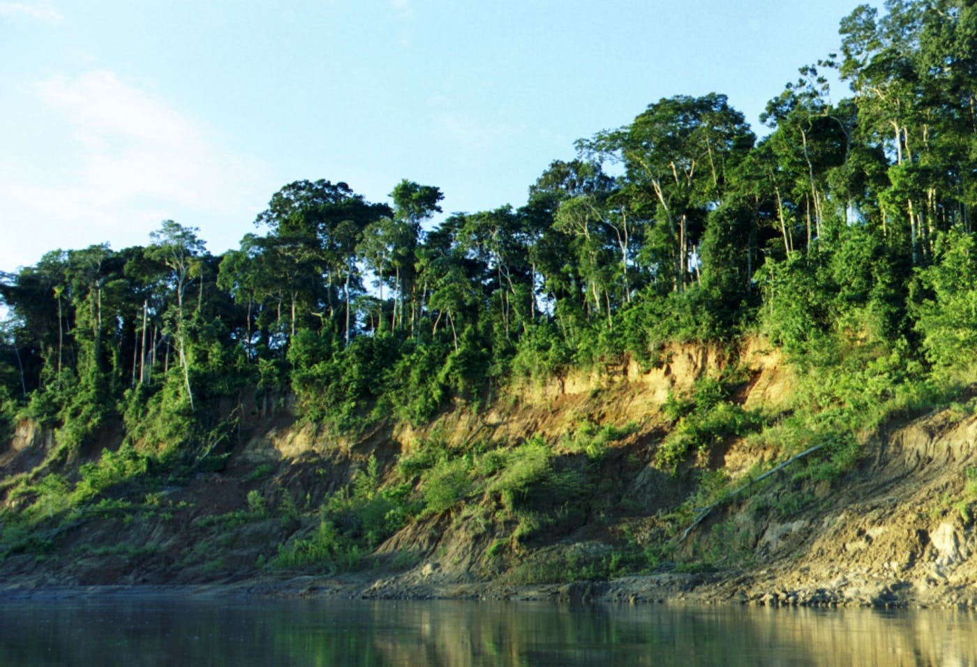
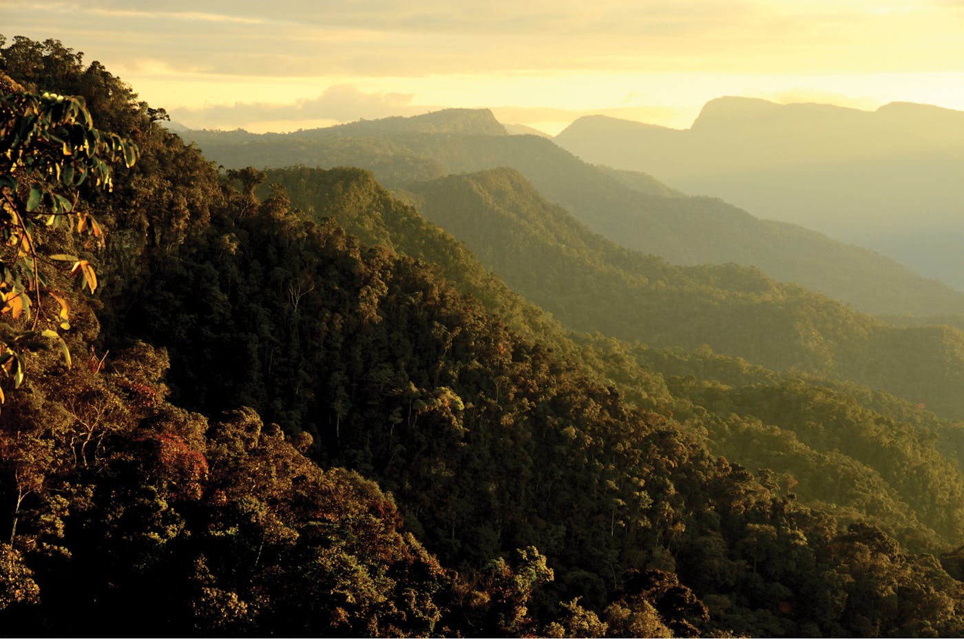
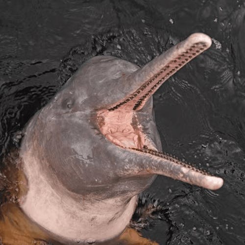
The Western Amazonian bioregion, located in the Southern America (Neotropical) realm, stretches north from Bolivia to the Amazon river in Peru, contained by the Andes Mountains to the west. It consists mostly of moist and seasonally flooded tropical forests, but also incorporates savanna to the south that is encircled by forest. The bioregion contains four ecoregions – Iquitos Várzea (469), Southwest Amazon Moist Forests (505), Ucayali Moist Forests (512), Beni Savanna (565) – and includes the western mainstem of the Amazon River, the Ucayali River, and several lakes in the South. The total area of this bioregion is approximately 111 million hectares.
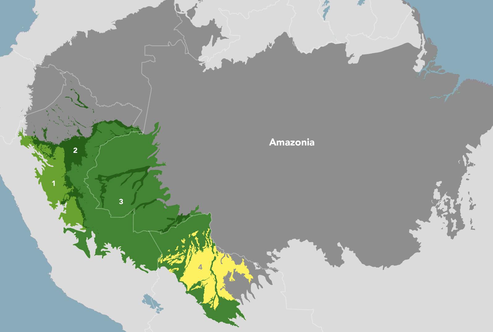
The Western Amazonian Forests & Plains bioregion is part of the Amazonia subrealm and is made up of four ecoregions: (1) Ucayali Moist Forests (2) Iquitos Várzea (3) Southwest Amazon Moist Forests (4) Beni Savanna.
Explore the Western Amazonian Forests & Plains ecoregions below.

Subscribe to receive monthly updates on climate solutions, environmental heroes, and the profound beauty and wonder of our shared planet Earth.

Explore the Bioregions
Want to learn more about the fascinating species, diverse ecosystems, and natural wonders of the Earth? Click the button below to launch One Earth's interactive navigator and discover your Bioregion!
LAUNCH NAVIGATOR