
Central China Loess Plateau Mixed Forests
The ecoregion’s land area is provided in units of 1,000 hectares. The conservation target is the Global Safety Net (GSN1) area for the given ecoregion. The protection level indicates the percentage of the GSN goal that is currently protected on a scale of 0-10. N/A means data is not available at this time.
Bioregion: Loess Plateau & Huang He Plain Mixed Forests (PA49)
Realm: Eastern Eurasia
Ecoregion Size (1000 ha):
36,043
Ecoregion ID:
653
Conservation Target:
9%
Protection Level:
7
States: China
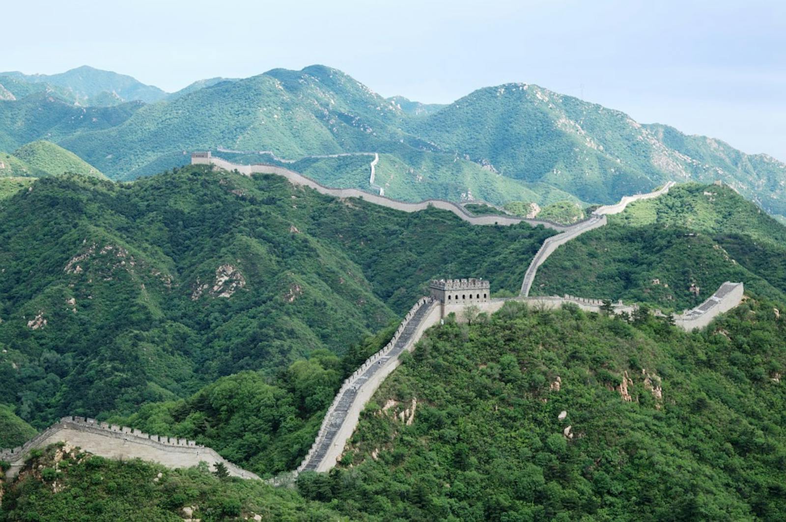
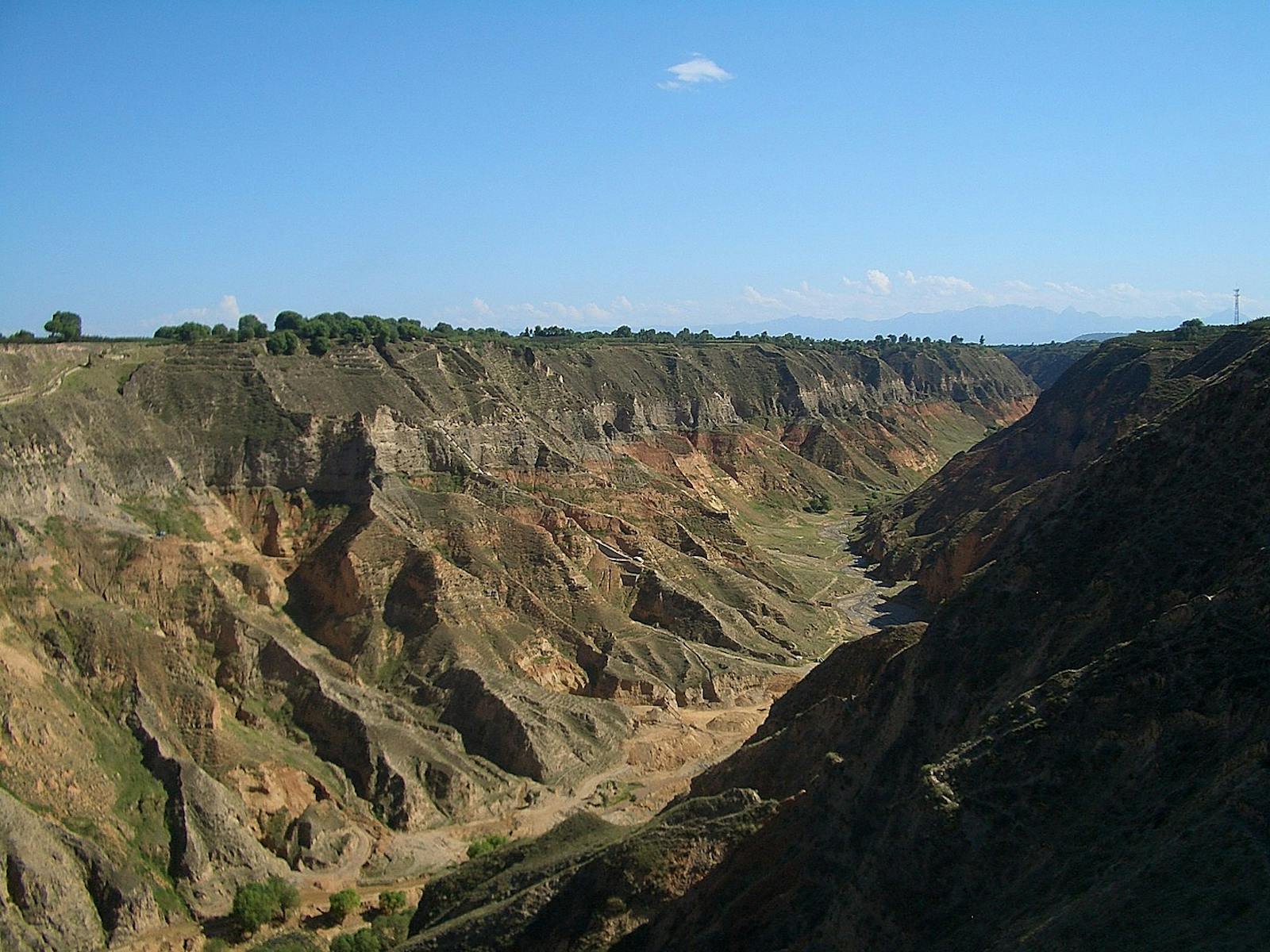
The Central China Loess Plateau, northwest of the Yellow River Basin, forms a transition zone between the maritime-influenced ecoregions of eastern China and the steppes and deserts of Mongolia. It is a plateau of compacted, wind-blown soil (called loess) up to 200 m thick that extends northeast to southwest for more than 1,000 km. The soils of this distinctive landscape were fetched from Central Asia by winds that have been blowing seasonally since the uplift of the Tibet Plateau and the onset of the monsoon cycle more than 20 million years ago.
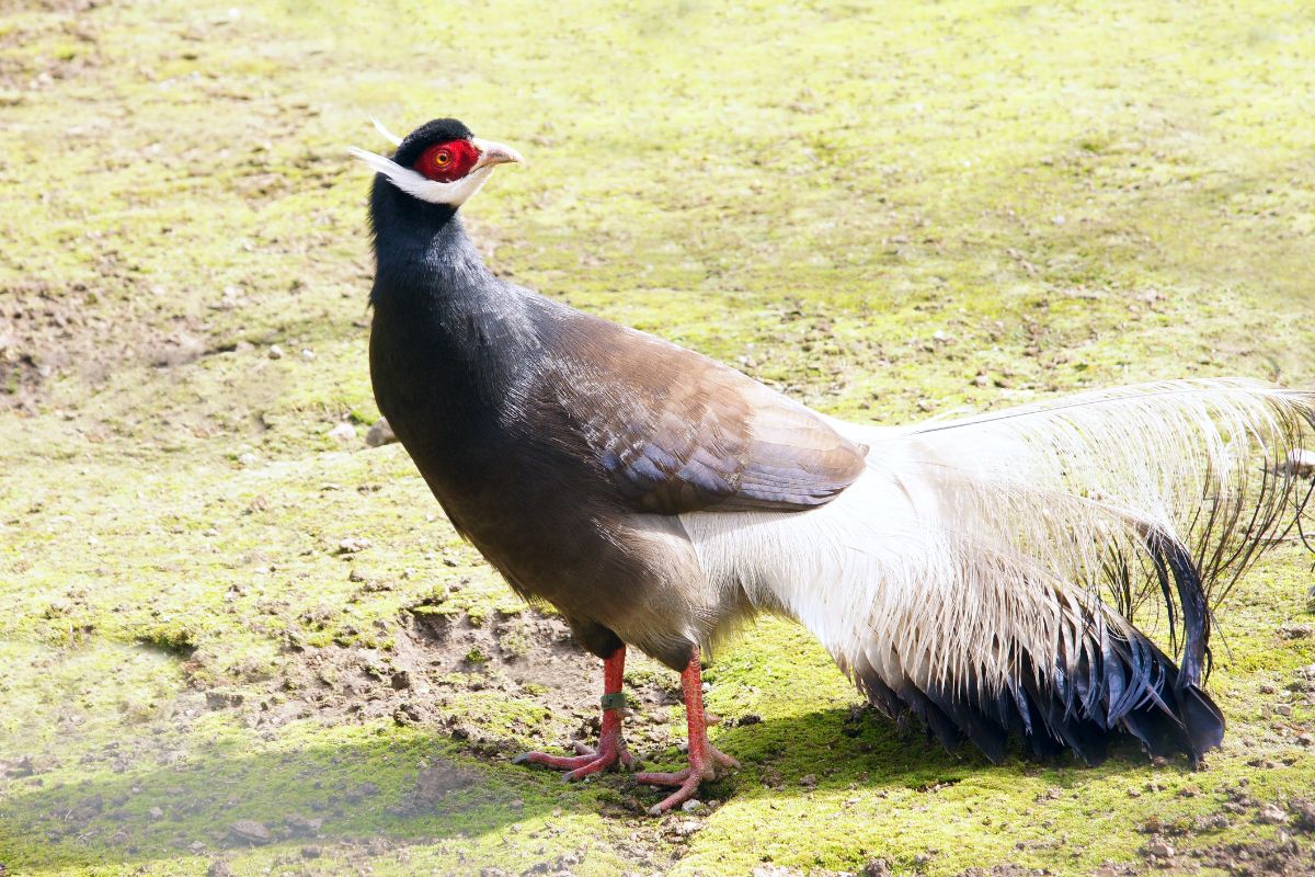
The flagship species of the Central China Loess Plateau Mixed Forests ecoregion is the brown eared pheasant. Image credit: Creative Commons
Loess soils are rich in minerals essential for plants and they retain water quite well, so they are potentially productive despite a seasonally dry, drought-prone climate. Since the Loess Plateau is well suited to agriculture, most natural forest was converted to farmland and pasture centuries ago. Historical records suggest that forest cover on the Loess Plateau declined by a factor of eight during the last three millennia and culminated in 1949. As the forests were cut, soil erosion increased to a high level, about 3700 tons of soil per km2 each year. Denuded of vegetation, the loess soils contribute to troublesome dust storms and account for the distinctive color of the Yellow River and the Yellow Sea.

Pair of Mandarin ducks. Image credit: Francis C Franklin, Creative Commons
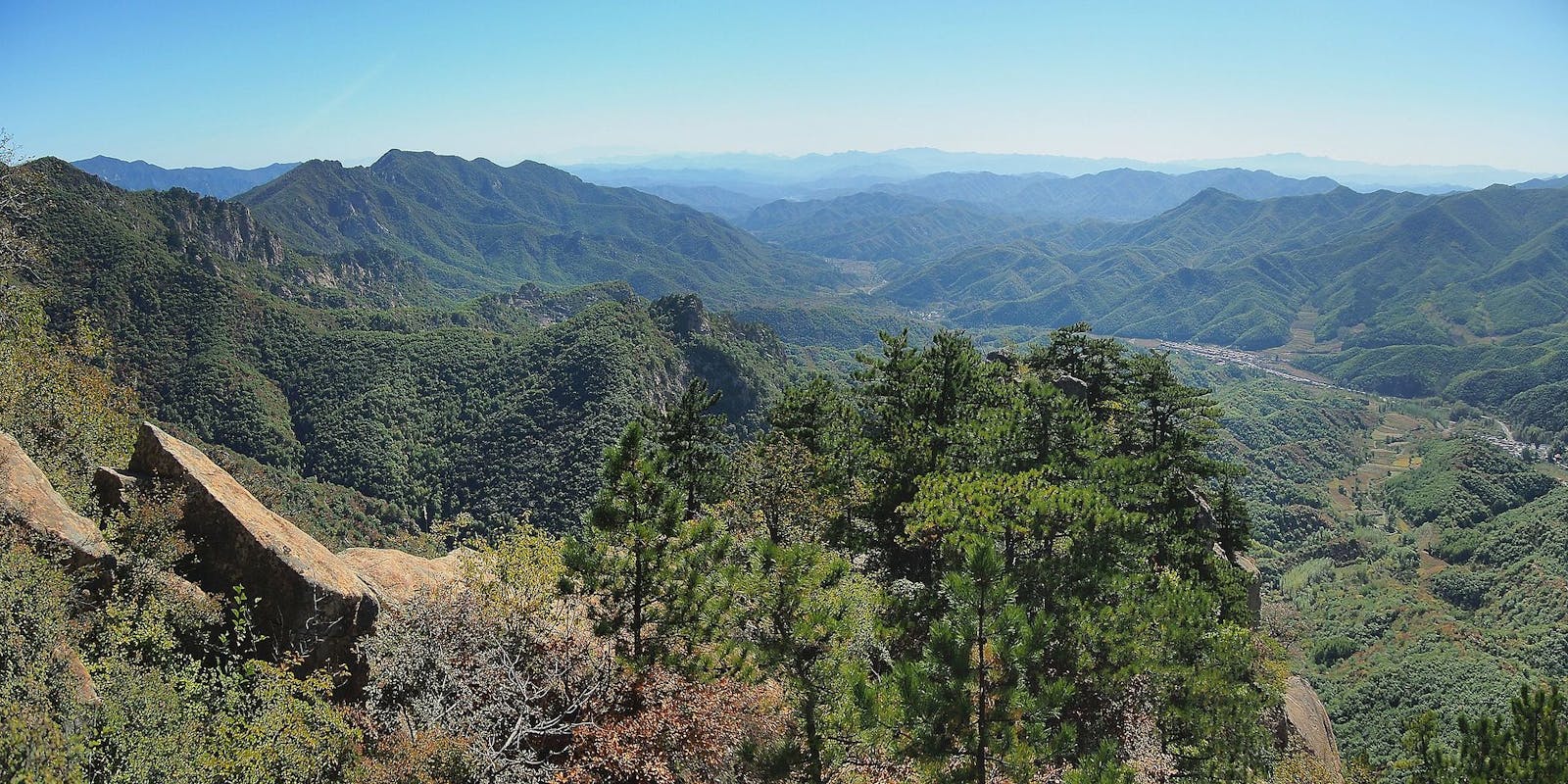
Potential vegetation of the Central China Loess Plateau is a deciduous broadleaf forest of oak and maple with birch, aspen, and linden at the higher elevations. Forests were once especially rich in the northern and eastern parts of the ecoregion, which face the sea. This formation transitioned westward to low steppe vegetation adjacent to Inner Mongolia. Cold-adapted tree species like spruce and mountain ash grow in high elevation areas while lower elevations, near the plain of the Yellow River, support elm, ash, Hovenia, and Pistacia as potential climax tree species.
-CC-Mino%20Zig-2016.jpg)
Black stork. Image credit: Mino Zig, Creative Commons
Wild mammals are infrequent on central China’s Loess Plateau. Warm temperate forests of Li Shan Nature Reserve (248 km2), in the south, support rare Chinese populations of rhesus monkey and endangered forest (or dwarf) musk deer. This deer, one of five musk deer species that inhabit China, occurs southward to Vietnam, but is nowhere common and probably declining in population. Individuals from this ecoregion would be among the northernmost in a meta-population that appears to hold much local genetic variation, about which little is yet known. Forest musk deer are adept at leaping, which enables them to jump into the lower canopy of a tree to forage, or to evade predators on the ground.
Reforestation of the Central China Loess Plateau was initiated in the 1960s to combat soil loss. More recently, large areas have been re-vegetated through the Grain to Green Initiative in an effort to reduce soil erosion, enrich the natural vegetation, and improve rural livelihoods.iv These revegetation efforts aim to stabilize slopes and encourage agricultural sustainability, but do not constitute forest restoration in a strict sense.
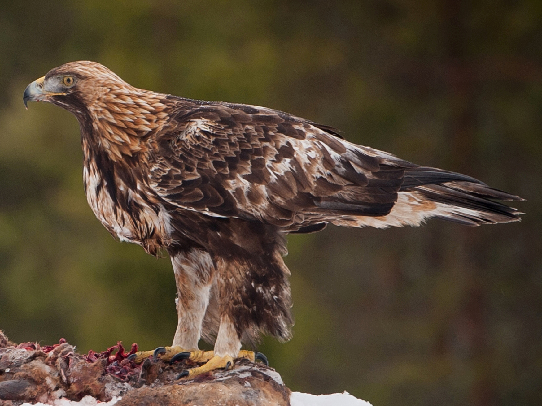
Golden eagle. Image credit: Jarkko Jarvinen, Creative Commons
Soil deposits of the Central China Loess Plateau lose volume to the northeast so that some rocky, mountainous terrain is exposed there. And, as in so many places, it is this less productive rocky habitat that is least disturbed by humans. For example, Pangquan Gou Nature Reserve (105 km2) in the Luliang Mountains is an important breeding area for brown eared-pheasant, the rarest of the Crossoptilon pheasants, and three other protected bird species: black Stork, mandarin duck, and golden eagle. Pangquan Gou is also the type location for North China larch, a deciduous member of the pine family. Another nature reserve, Luya Mountain (215 km2), provides additional habitat for brown eared-pheasant.
Priority conservation actions for the next decade are to: 1) identify and promote conservation of remnant habitat islands in this severely human-modified ecoregion; 2) promote restoration of forests (under the ‘Grain to Green’ initiative) that are ecologically similar to the native stands; and 3) uphold laws already in place to restrict snaring and hunting of musk deer.
Citations
Carpenter, C. 2000. Southern Asia: China https://www.worldwildlife.org/ecoregions/pa0411. Accessed August 2018.
Sun X., Wang P. 2005. How old is the Asian monsoon system? — Palaeobotanical records from China. Palaeogeography, Palaeoclimatology, Palaeoecology: 222(3-4): 181-222.
Buckingham, K., Hanson, C. 2015. The Restoration Diagnostic Case Example: China Loess Plateau. The World Resources Institute.

Subscribe to receive monthly updates on climate solutions, environmental heroes, and the profound beauty and wonder of our shared planet Earth.
