
Taklimakan Desert
The ecoregion’s land area is provided in units of 1,000 hectares. The conservation target is the Global Safety Net (GSN1) area for the given ecoregion. The protection level indicates the percentage of the GSN goal that is currently protected on a scale of 0-10. N/A means data is not available at this time.
Bioregion: Taklimakan Desert & Lowland Deciduous Forests (PA39)
Realm: Eastern Eurasia
Ecoregion Size (1000 ha):
74,353
Ecoregion ID:
843
Conservation Target:
74%
Protection Level:
2
States: China
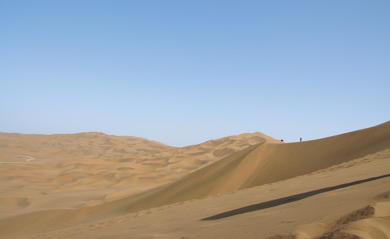
Encircled by tall mountains near the geographic center of Eurasia, the Taklamakan Desert is deprived of moisture from all sources—monsoonal, westerly, and Arctic. Consequently, precipitation is scant, less than 100 mm a year in most areas. The two landscape features that dominate the Taklamakan, shifting sands and dry, salt-encrusted basins, are among those few terrestrial habitats with virtually no macroscopic life. The Turpan Depression, in the northeastern part of the Taklamakan, slumps to an elevation of 154 m below sea level, one of the lowest places on Earth that is not underwater.
In the Taklamakan Desert, variation in seasonal mean temperature and differences between daytime and nighttime temperature both can exceed 35°C. About four-fifths of the area consists of shifting sand dunes, which tend to self-organize into north-south running furrows about 100 m tall and tens of kilometers long. The Taklamakan is swept by mid-latitude, westerly winds. Dust raised here is carried into the upper atmosphere, blows eastward, and can affect precipitation patterns across the Pacific clear to North America.
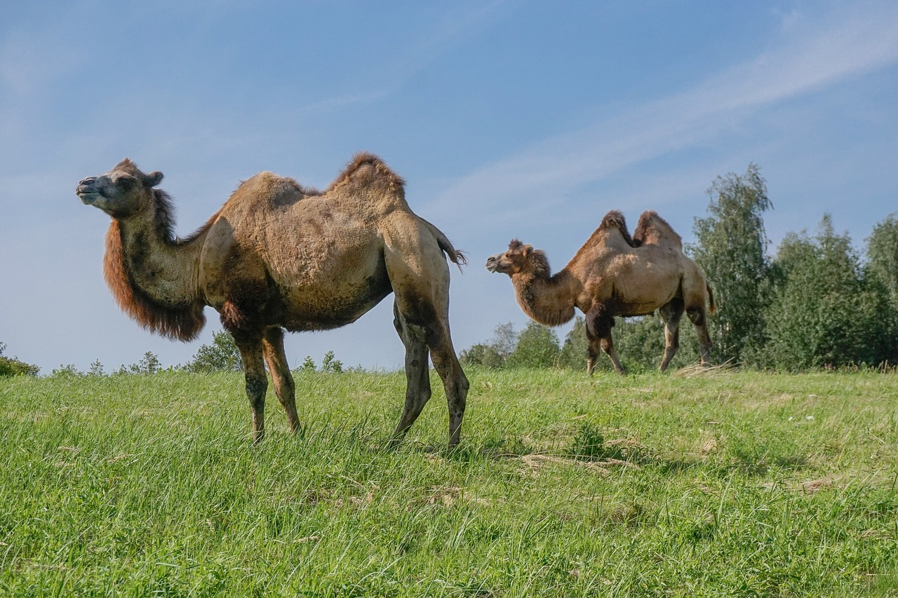
The flagship species of the Taklimakan Desert ecoregion is the wild bactrian camel. Image credit: Summa, Pixabay
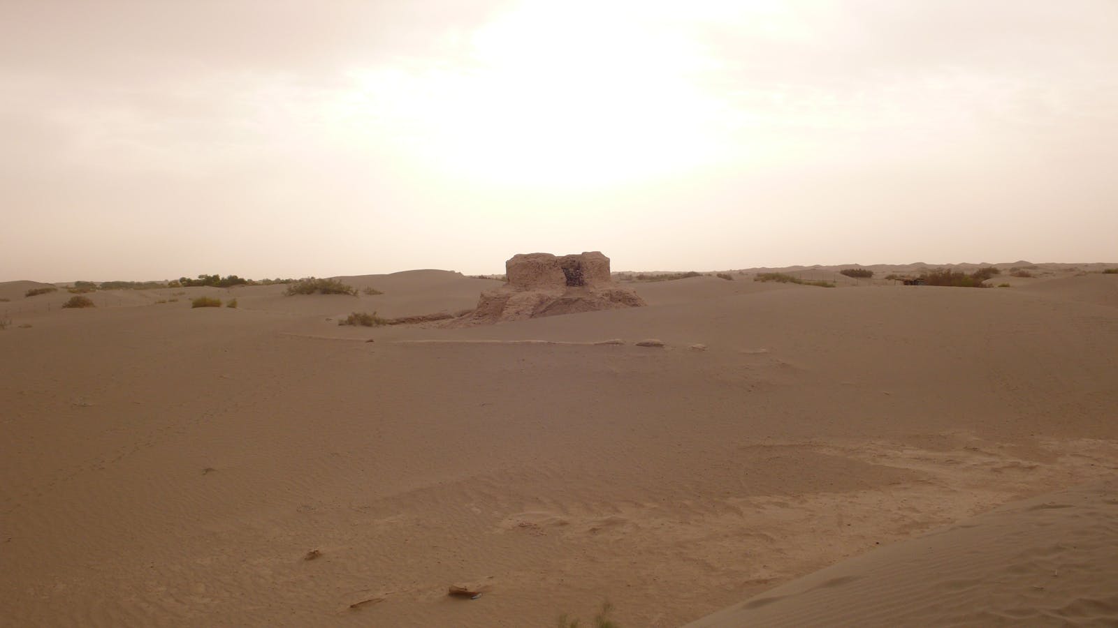
The margin of the Taklamakan Desert holds landscapes too dry for human habitation, but still productive enough to sustain desert-resilient plants and animals. Piedmont plains and foothills around Lop Nur, a depression in the eastern part of the Tarim Basin, support sparse, salt tolerant vegetation and a small population of the critically endangered wild Bactrian camel. Woodlands of desert poplar grow along the braided channel of the Tarim River, which traverses the Taklamakan from west to east and constitute a distinct ecoregion.
Although much of the Taklamakan Desert lacks vegetation entirely, salt tolerant plants such as Halogeton, Halostachys, and camelthorn grow on marginal piedmont and foothill slopes. Basins with intermittent surface water support salt-tolerant Phragmites reeds and drought tolerant, nearly leafless shrubs like Reaumuria soongorica. Woody plants at the margin of the Taklamakan include desert poplar, black saxaul, members of the tamarisk family, the gymnosperm Ephedra przewalskii, and Nitraria, a pioneer species on dunes that can survive sand burial.
Most of China’s 650 wild camels inhabit Lop Nur Wild Camel National Nature Reserve (67,000 km2) in the eastern Taklamakan—the only place in the world where wild camels breed in isolation from domestic camel stock. Lop Nur served China as a nuclear testing site until 1996. During those years, wild camels survived more than 40 aerial nuclear tests, but were undisturbed by human activity on the ground. After the detonations ceased, the wild camels came under increased threat from human disturbance and poaching, and the population declined. Today, about 90% of the Lop Nur wild camels live on sloping terrain to the southeast of the hyper-arid basin, together with gray wolf, argali sheep, Tibetan wild ass, and black-tailed gazelle.
Although known as being very thirst-resistant, even camels have to drink sometimes. Snowmelt provides freshwater in valleys peripheral to the Lop Nur basin, but the valleys also have wolves that prey on young camels. Perhaps that is why the wild camels tend to remain in the Lop Nur, drinking water nearly saline as the sea. Only the wild camels can drink such salty water, a propensity that has likely evolved as a wolf escape strategy.
Poaching is a threat to wild camels of the Taklamakan because flat terrain makes the nature reserve accessible to off-road vehicles, and potash mining brings people close to the camel habitat. However, since 2002 the Lop Nur Nature Reserve has upgraded patrolling and public education and now channels water to ‘improve’ the habitat for wild camel. After more than a decade, there is some evidence that the wild camel population is starting to recover.
Priority conservation actions for the next decade are to: 1) control mining activity in the wild camel habitat; 2) restrict off-road vehicle traffic and unauthorized expeditions; and 3) utilize artificial water holes to sustain wildlife where appropriate.
Citations
- Carpenter C. 2000. Central Asia: Western China. https://www.worldwildlife.org/ecoregions/pa1330. Accessed December 2018.
- Manyak, M.J. 2015. Wild Camel Expedition Gobi Desert. http://michaelmanyak.com/exploration/expeditions/gobi/. Accessed December 2018.
- Yuan, L., Jiang, Z.G., Cheng, Y., Guli, S., Hare, J. Zhu, H.Y., Wang, J.L. 2014. Wild Camels in the Lop Nur Nature Reserve. Journal of Camel Practice and Research 21(2): 137-144.

Subscribe to receive monthly updates on climate solutions, environmental heroes, and the profound beauty and wonder of our shared planet Earth.
