Global Security Initiative (ASU) | Predictive Science for Conservation Planning
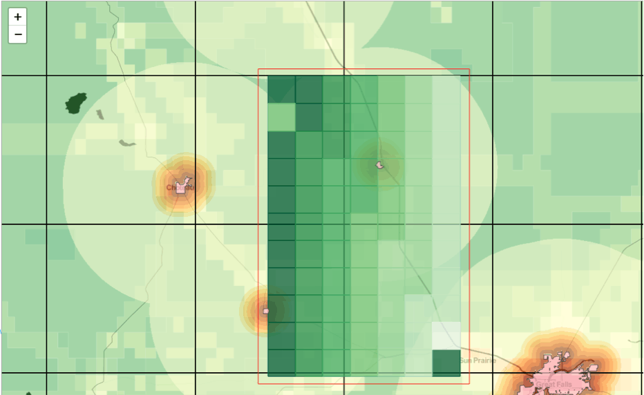
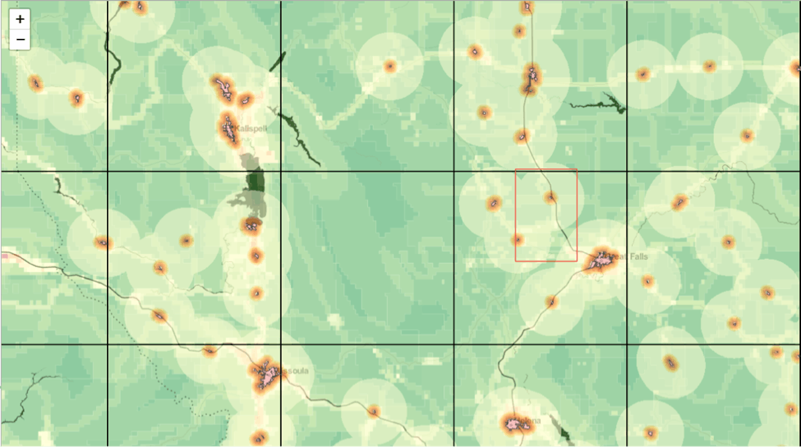
A growing body of science is now supporting the global call to protect 50% of landscapes and seascapes in a relatively natural state. A recently published assessment of the world’s 846 terrestrial ecoregions identifies the potential for protecting as much as 29% of landscapes in some form of wilderness, meaning another 21% of lands would need to be restored to reach the goal and provide connectivity between existing and planned protected areas. Arizona State University’s Global Security Initiative (GSI) recently developed a data visualization tool that will help philanthropists, governments, and NGOs better prioritize conservation efforts around the world and envision plans for a world with 50% of its landscapes and seascapes protected. The tool allows users to see the state of lands – what is currently protected, what should be protected – and plan what wilderness should be left natural.

This is a new approach to an old problem, building on advances in big data and visualization technology to create a holistic overview of conservation scenarios. The visual tool allows users to design conservation plans using different input scenarios. It crunches a series of data sets to propose protected areas and ecoregion plans that are strategically identified and organized, based on a set of key variables such as proximity to key biodiversity areas, human influence, distance to urban areas, hydrology, and biodiversity richness layers (e.g., birds, amphibians), among others. In addition to supporting the philanthropic community in establishing funding priorities during the near term, the tool will help scientists, NGOs, and governmental agencies as they work to establish appropriate conservation targets for each ecoregion. The tool weighs each of the variables into an algorithm-driven approach to determining priority regions for governmental protection, private or community land acquisition, and connectivity/restoration planning.


