Amazon River Estuary bioregion
The bioregion’s land area is provided in units of 1,000 hectares. The conservation target is the combined Global Safety Net (GSN1) areas for the component ecoregions. The protection level indicates the percentage of the GSN goal that is currently protected on a scale of 0-10. N/A means data is not available at this time.
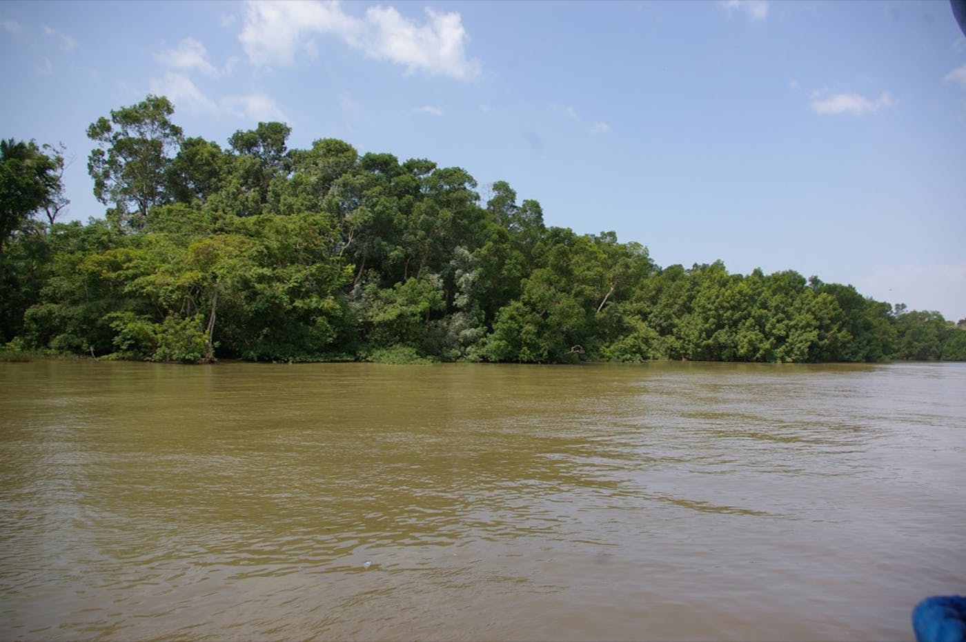
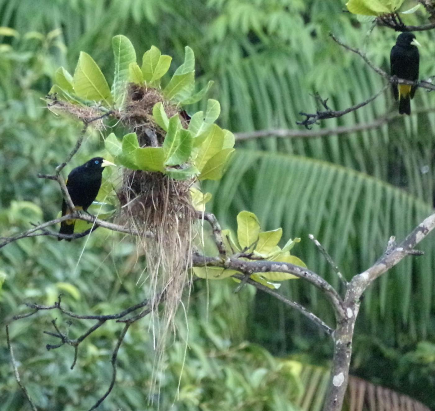
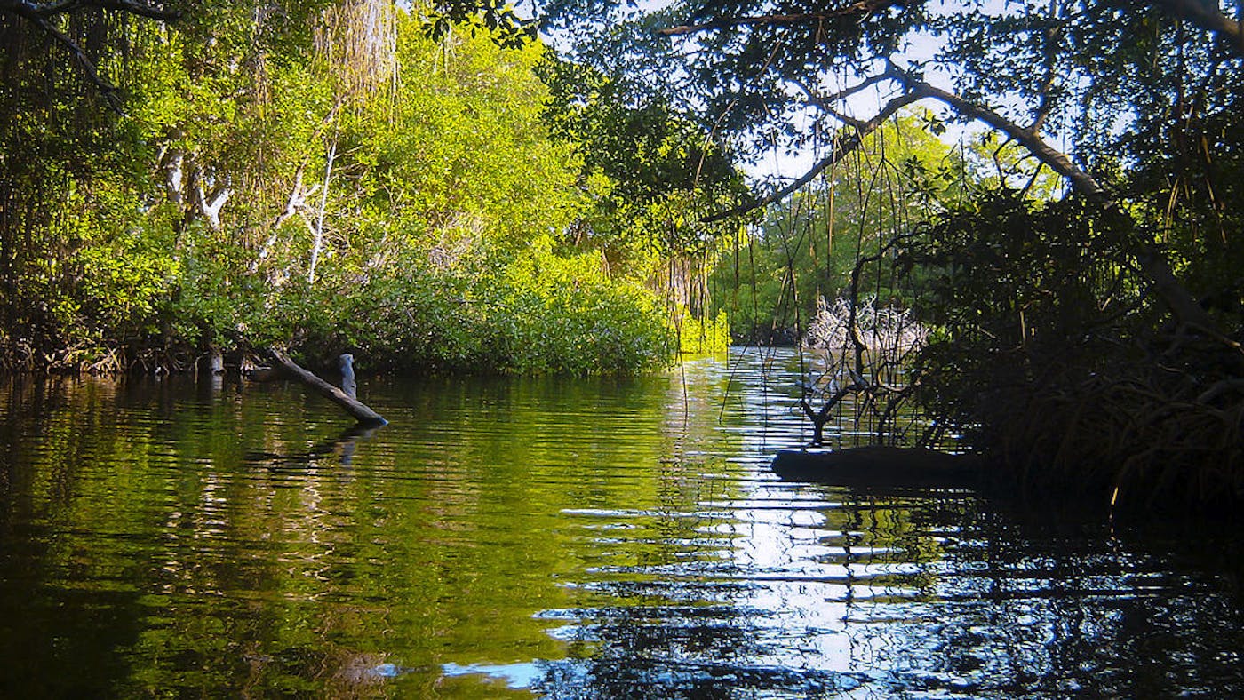
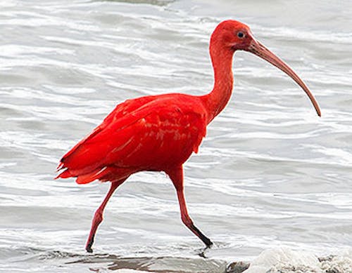
The Amazon River Estuary Bioregion, located in the Amazonia subrealm of Southern America, includes a huge river delta formed at the end of the Amazon River’s 4000-mile journey to the sea in northern Brazil, where it meets up with the Tocantins River, encompassing the Marajó Archipelago. It is the easternmost Amazonian bioregion consisting predominantly of tropical forest surrounding the delta and incorporates a narrow band of beach forests extending to the east with four ecoregions – Marajó Várzea (480), Tocantins/Pindare Moist Forests (508), Northeast Brazil Restingas (485), Amazon-Orinoco-Southern Caribbean Mangroves (611). The total area of this bioregion is more than 31 million hectares, not including adjacent marine areas.
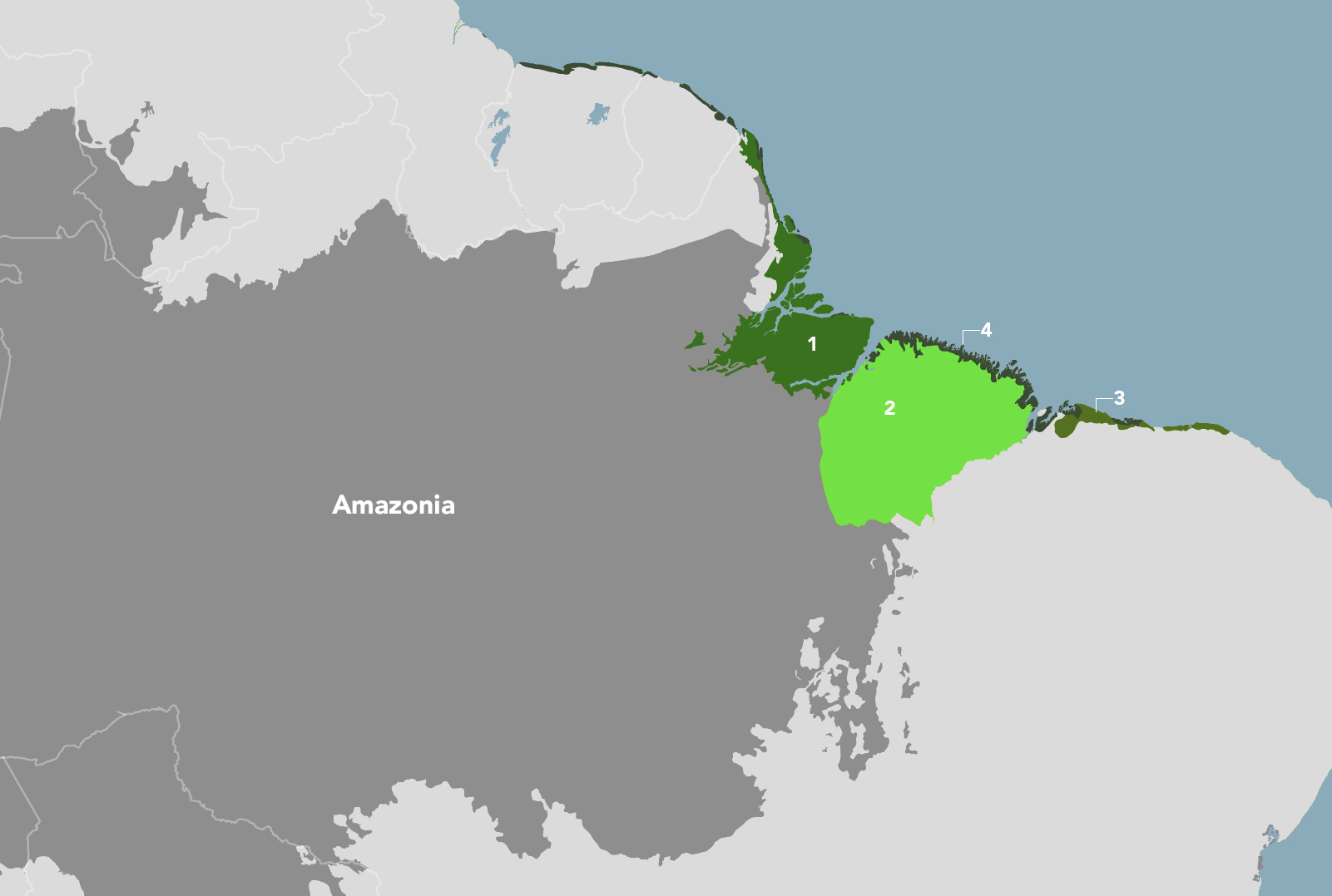
The Amazon River Estuary Bioregion is part of the Amazonia subrealm and is made up of four ecoregions: (1) Marajó Várzea (2) Tocantins/Pindare Moist Forests (3) Northeast Brazil Restingas (4) Amazon-Orinoco-Southern Caribbean Mangroves.
Learn more about each of the Amazon River Estuary ecoregions below.

Subscribe to receive monthly updates on climate solutions, environmental heroes, and the profound beauty and wonder of our shared planet Earth.

Explore the Bioregions
Want to learn more about the fascinating species, diverse ecosystems, and natural wonders of the Earth? Click the button below to launch One Earth's interactive navigator and discover your Bioregion!
LAUNCH NAVIGATOR