
Image credit: (1) Courtesy of Mogens Trolle (2) Courtesy of Nomis Simon (3) Courtesy of Mogens Trolle
Antarctic Peninsula & Scotia Sea bioregion
The bioregion’s land area is provided in units of 1,000 hectares. The conservation target is the combined Global Safety Net (GSN1) areas for the component ecoregions. The protection level indicates the percentage of the GSN goal that is currently protected on a scale of 0-10. N/A means data is not available at this time.
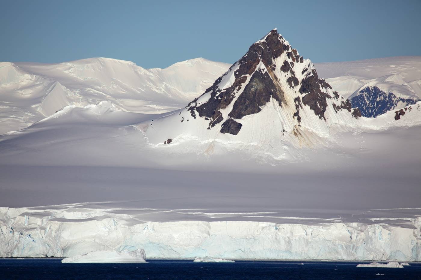
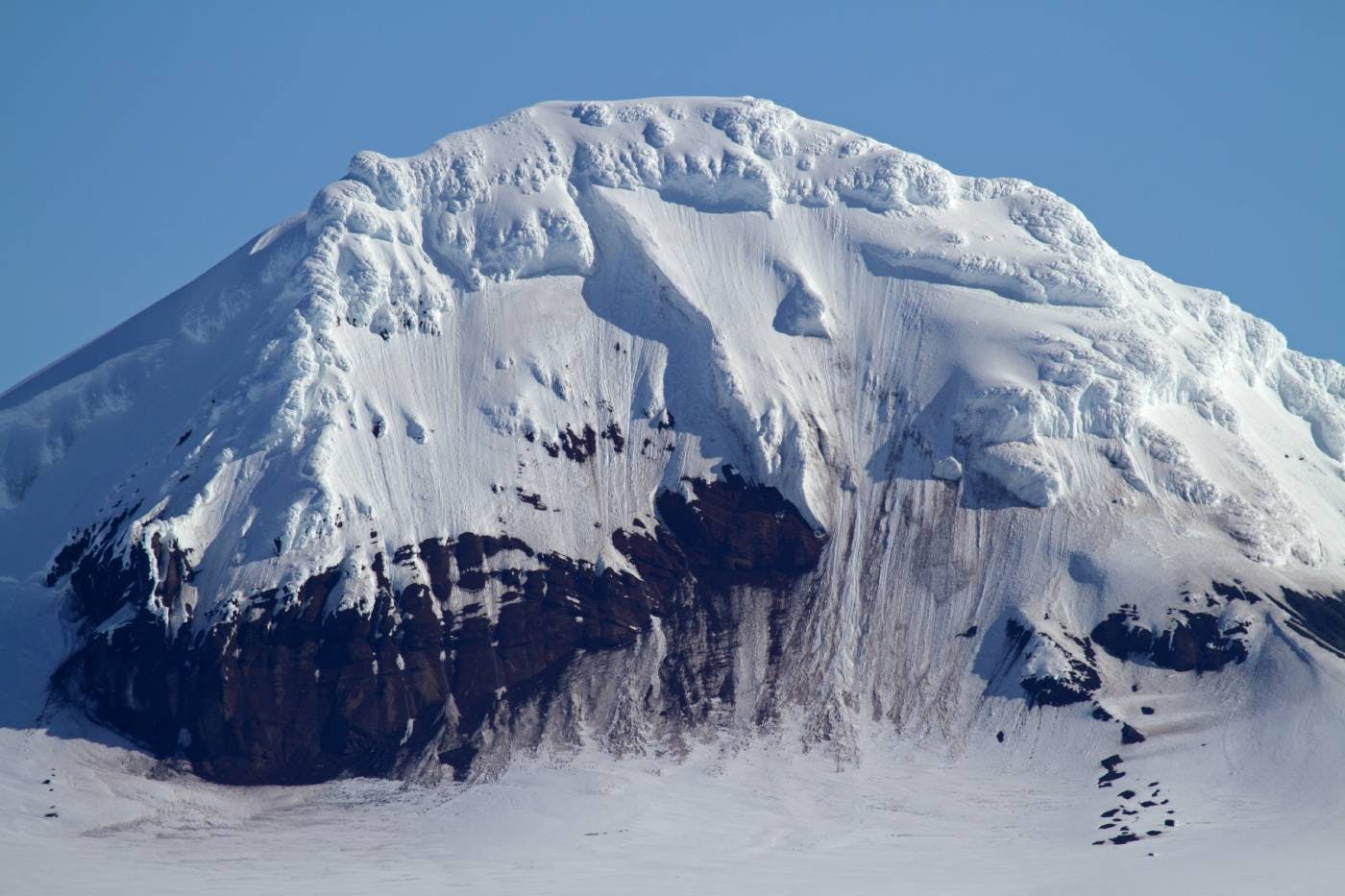
The Antarctic Peninsula bioregion protrudes 1,300 km from West Antarctica towards the Tierra del Fuego, the southernmost tip of South America. The rocky coasts of the peninsula have the mildest climate in Antarctica and are free of snow in the summer months, supporting an abundance of land and marine biodiversity. The bioregion contains six ecoregions—Central South Antarctic Peninsula (118), Northeast Antarctic Peninsula Tundra (126), Northwest Antarctic Peninsula Tundra (127), Scotia Sea Islands Tundra (129), South Antarctic Peninsula Tundra (130), South Orkney Islands Tundra (131).

The Antarctic Peninsula & Scotia Sea bioregion is located in the Antarctic Continent & Islands subrealm of Antarctica and contains 6 ecoregions: South Antarctic Peninsula tundra (1), Central South Antarctic Peninsula (2), Northwest Antarctic Peninsula tundra (3), Northeast Antarctic Peninsula tundra (4), South Orkney Islands tundra (5), Scotia Sea Islands tundra (6).
Learn more about each of the Antarctic Peninsula & Scotia Sea ecoregions below.
.jpeg?auto=compress%2Cformat&w=500)

Subscribe to receive monthly updates on climate solutions, environmental heroes, and the profound beauty and wonder of our shared planet Earth.

Explore the Bioregions
Want to learn more about the fascinating species, diverse ecosystems, and natural wonders of the Earth? Click the button below to launch One Earth's interactive navigator and discover your Bioregion!
LAUNCH NAVIGATOR