Great Britain, Ireland & Faroe Islands bioregion
The bioregion’s land area is provided in units of 1,000 hectares. The conservation target is the combined Global Safety Net (GSN1) areas for the component ecoregions. The protection level indicates the percentage of the GSN goal that is currently protected on a scale of 0-10. N/A means data is not available at this time.
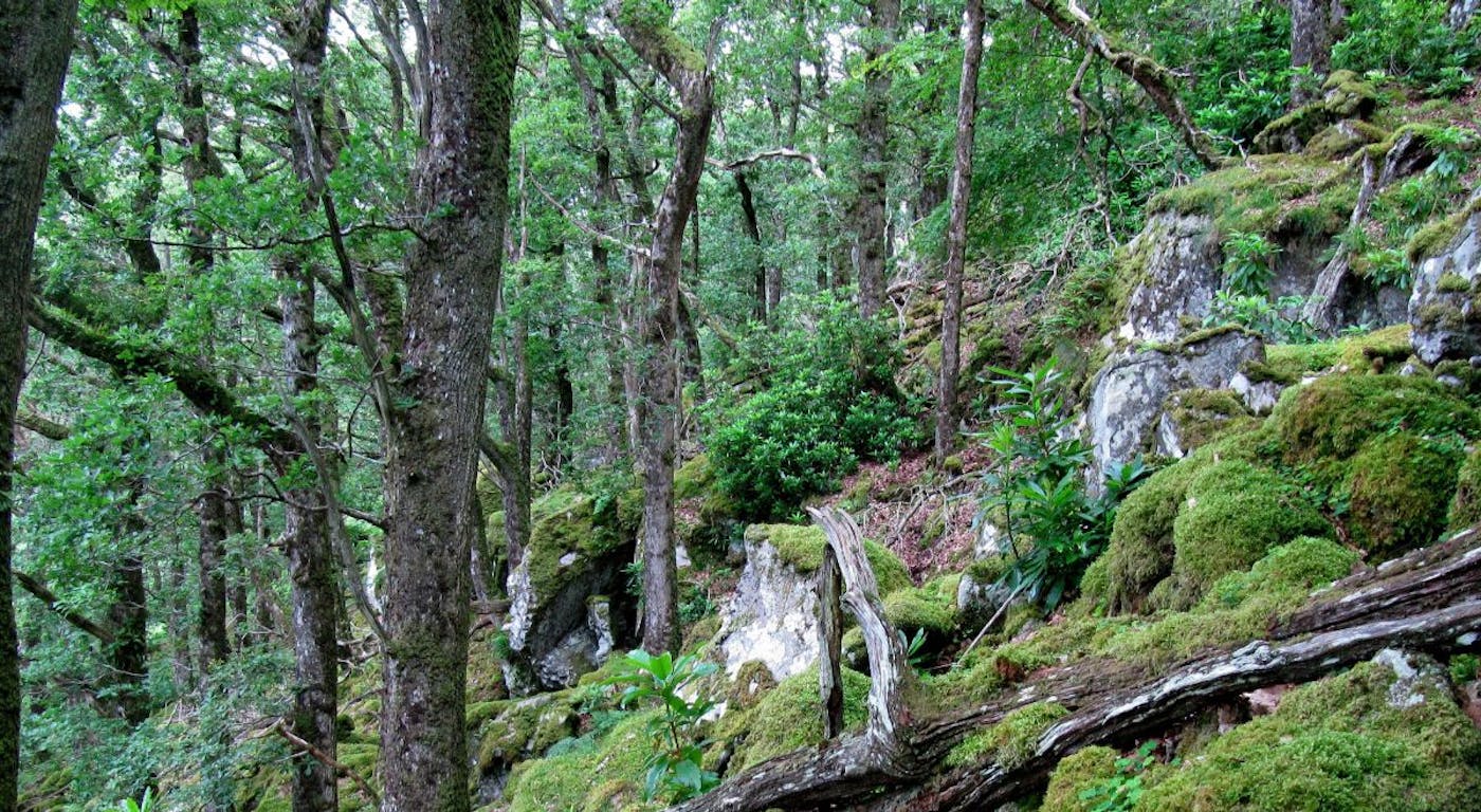
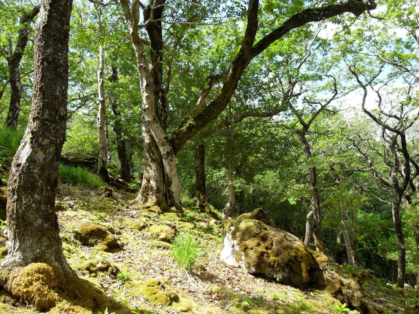
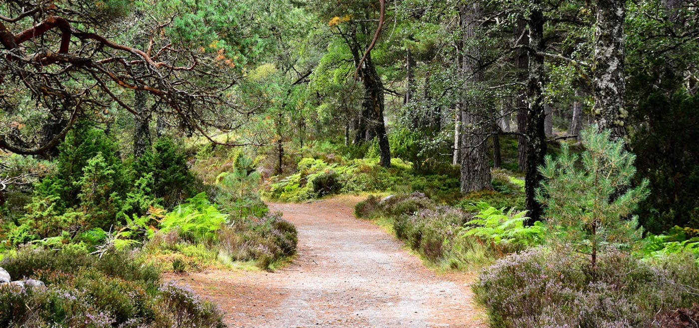
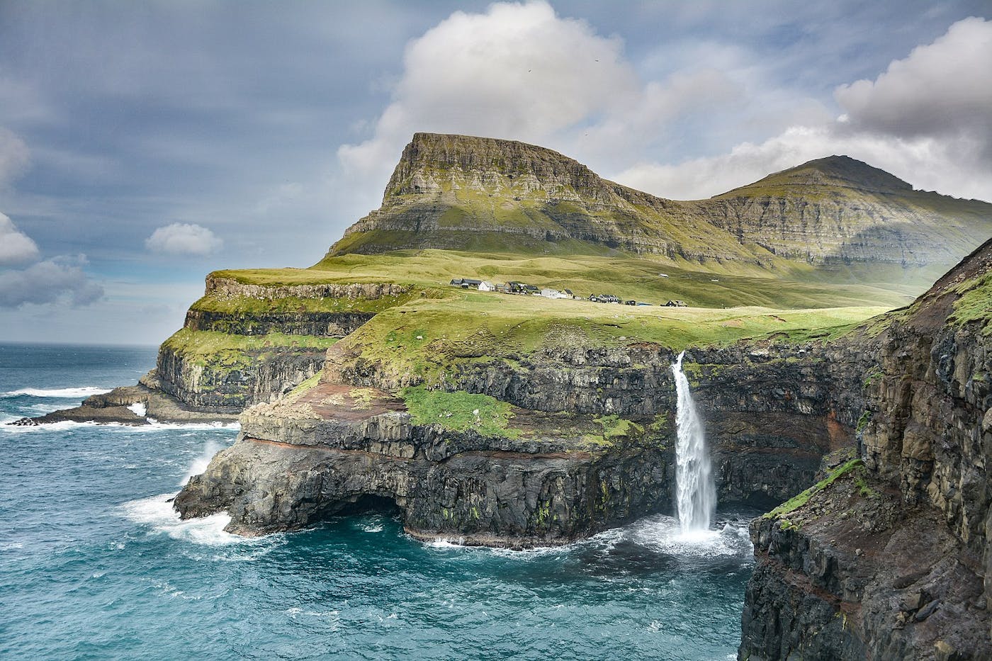
The Great Britain, Ireland & Faroe Islands bioregion is part of the Anglo-Celtic Isles subrealm located in the Western Eurasia realm (western Palearctic). It contains five ecoregions—Celtic Broadleaf Forests (651), English Lowlands Beech Forests (663), North Atlantic Moist Mixed Forests (672), Caledon Conifer Forests (691), Faroe Islands Boreal Grasslands (729)—totaling nearly 32 million hectares of land area.
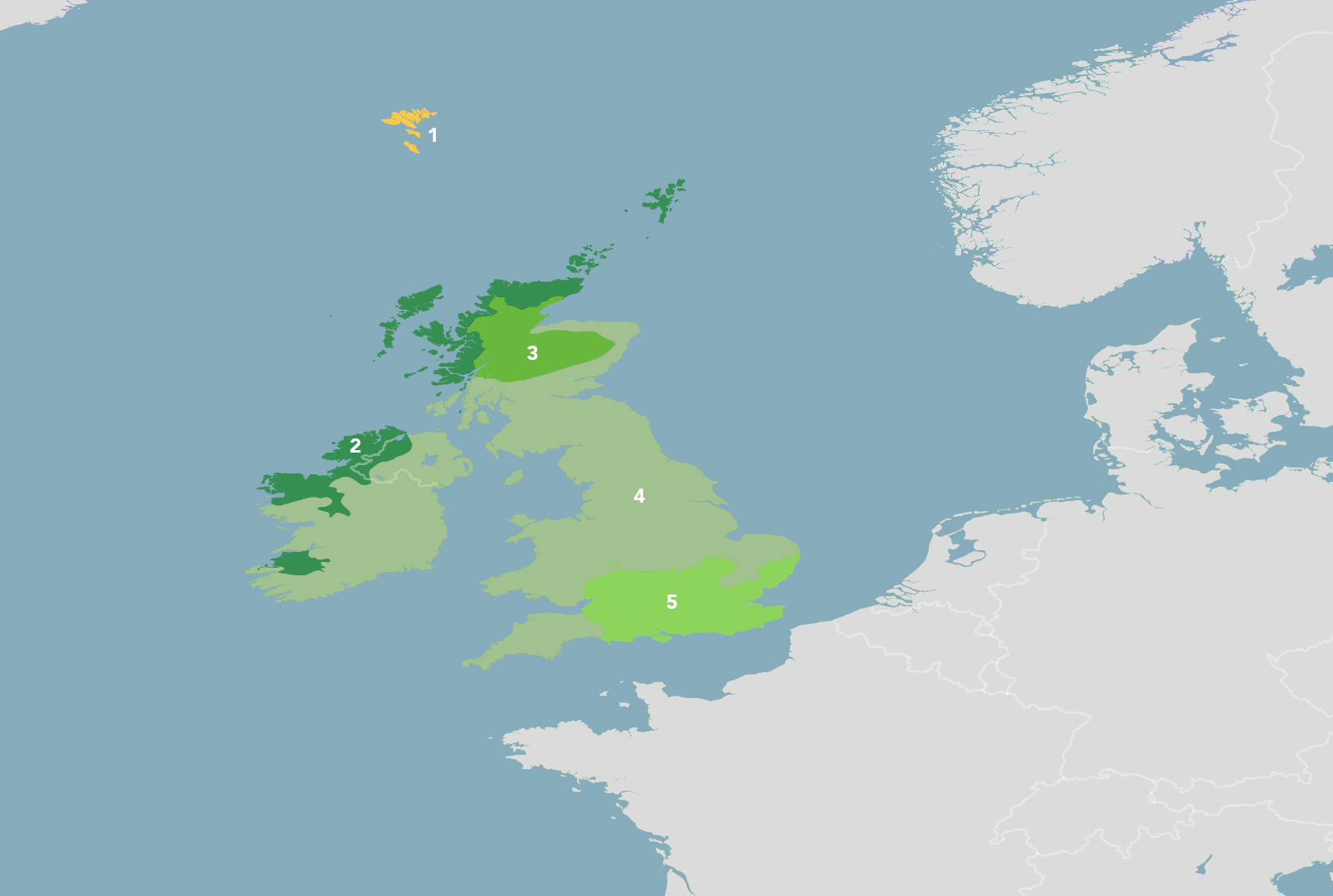
The Great Britain, Ireland & Faroe Islands bioregion is part of the Anglo-Celtic Isles subrealm and is made up of five ecoregions: (1) Faroe Islands Boreal Grasslands (2) North Atlantic Moist Mixed Forests (3) Caledon Conifer Forests (4) Celtic Broadleaf Forests (5) English Lowlands Beech Forests.
Learn more about each of the Great Britain, Ireland & Faroe Islands ecoregions below.


Sign up to receive monthly updates about our work.

Explore the Bioregions
Want to learn more about the fascinating species, diverse ecosystems, and natural wonders of the Earth? Click the button below to launch One Earth's interactive navigator and discover your Bioregion!
LAUNCH NAVIGATOR