Greater African Subequatorial Savannas & Mixed Woodlands bioregion
The bioregion’s land area is provided in units of 1,000 hectares. The conservation target is the combined Global Safety Net (GSN1) areas for the component ecoregions. The protection level indicates the percentage of the GSN goal that is currently protected on a scale of 0-10. N/A means data is not available at this time.
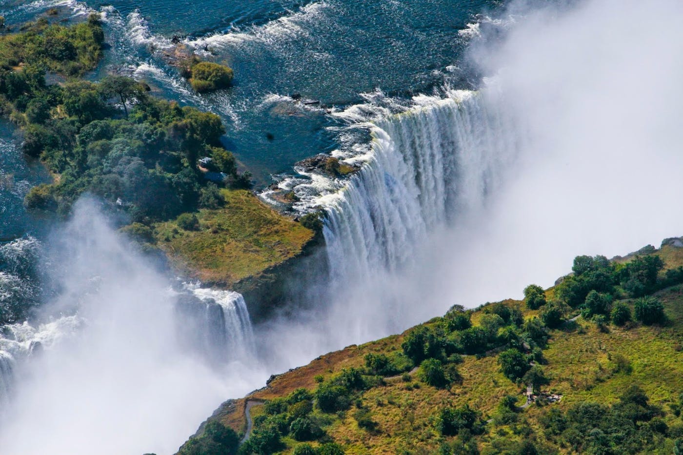
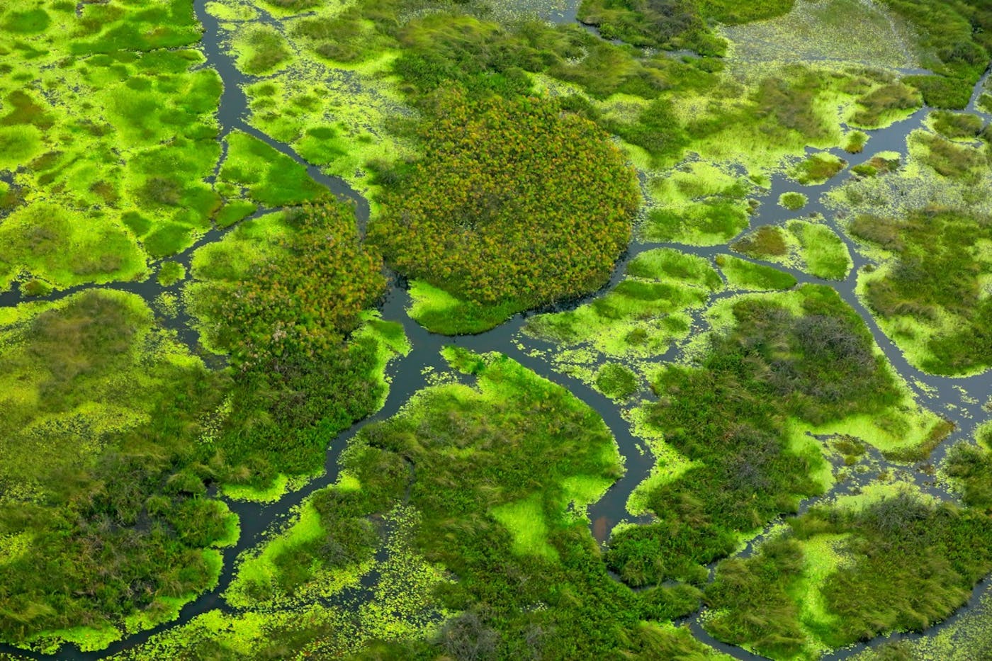
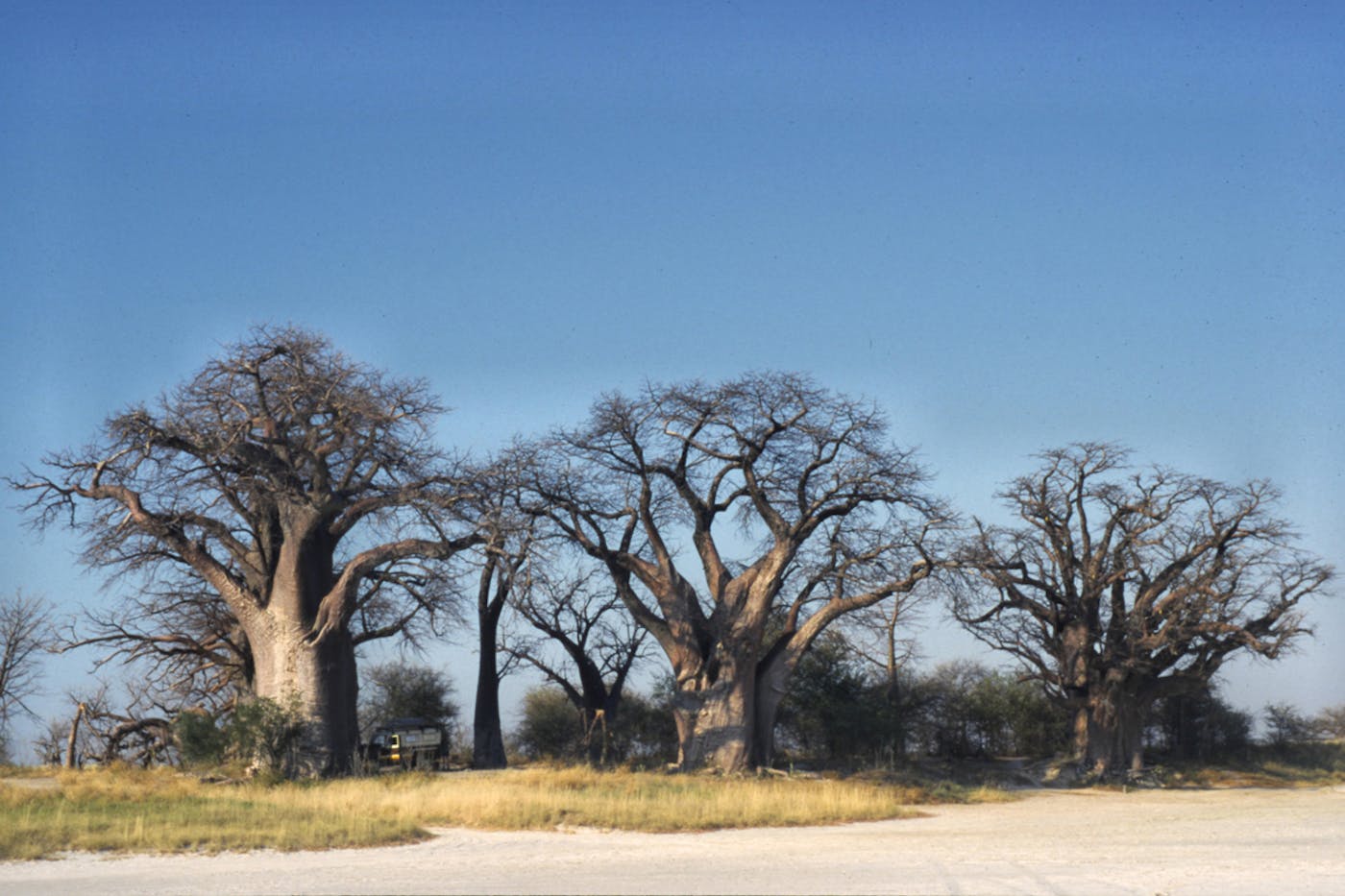
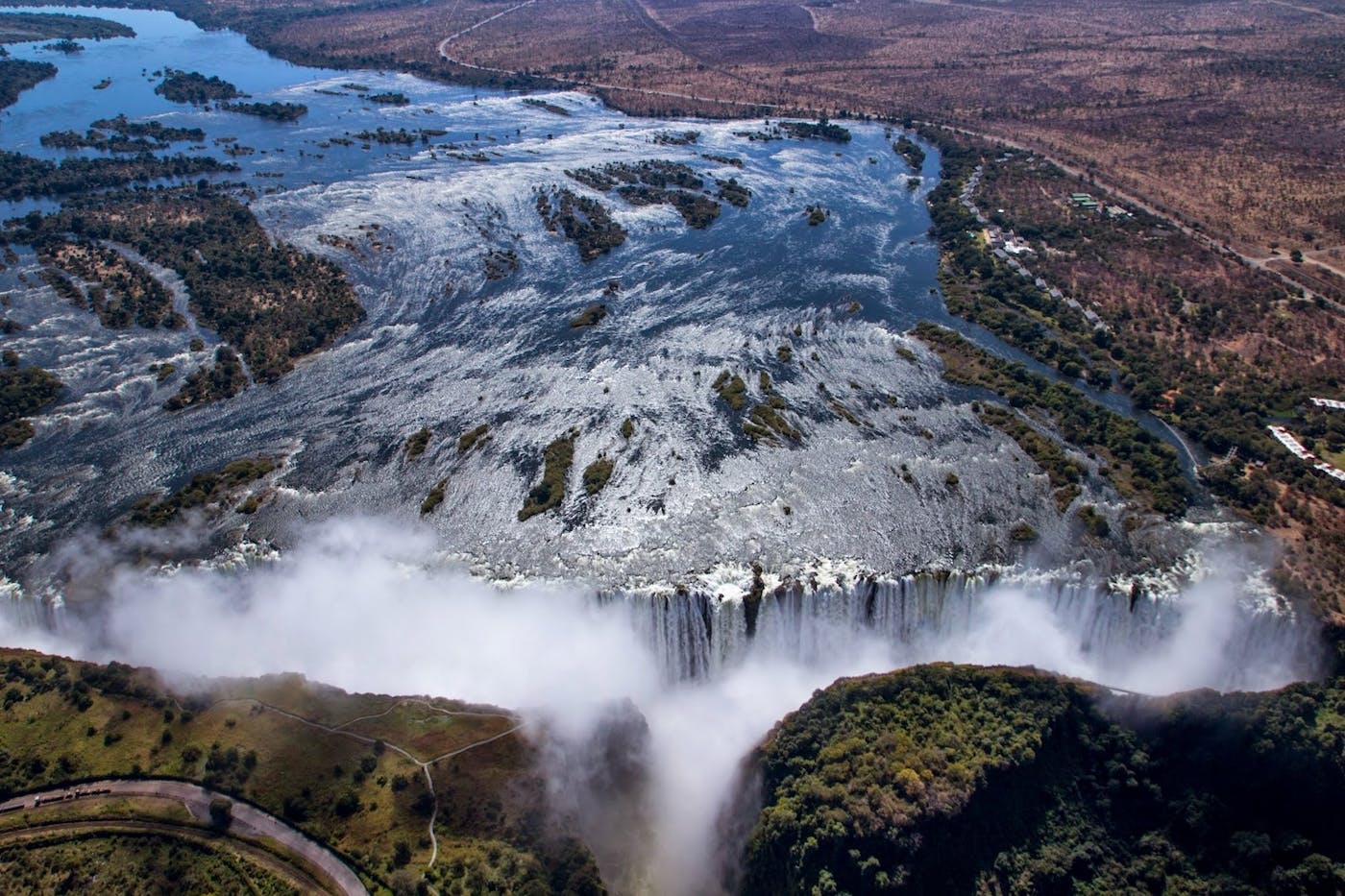
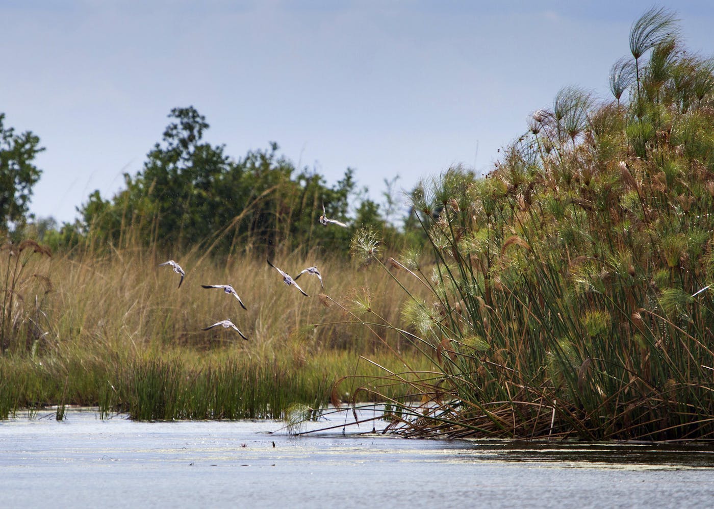
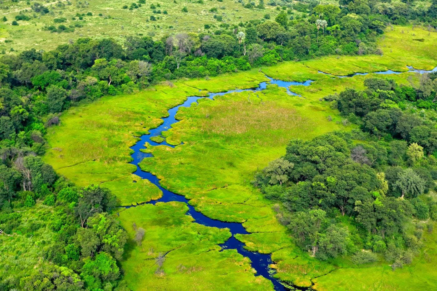
The Greater African bioregion is the largest in the Afrotropics realm, covering the entire width of the continent from the drylands and grasslands of southern Africa north to the beginning of the Equatorial forest zone, extending to the southern shore of Lake Victoria. The bioregion consists mostly of savannas and woodlands, but it also includes pockets of dry forest and flooded grasslands, incorporating the lakes along the Albertine Rift.
The bioregion contains 20 distinct ecoregions—Eastern Arc Forests (9), Zambezian Evergreen Dry Forests (33), Angolan Mopane Woodlands (34), Angolan Scarp Savanna and Woodlands (35), Angolan Wet Miombo Woodlands (36), Central Zambezian Wet Miombo Woodlands (39), Dry Miombo Woodlands (42), Itigi-Sumbu Thicket (46), Southern Acacia-Commiphora Bushlands and Thickets (57), Zambezian Baikiaea Woodlands (64), Zambezian Mopane Woodlands (65), Zambezian-Limpopo Mixed Woodlands (66), East African Halophytics (69), Etosha Pan Halophytics (70), Makgadikgadi Halophytics (73), Zambezian Flooded Grasslands (76), Angolan Montane Forest-Grassland (77), Mulanje Montane Forest-Grassland (84), Nyanga-Chimanimani Montane Forest-Grassland (85), Southern Rift Montane Forest-Grassland (87)—totaling more than 436 million hectares of land area.
It covers most of the Zambezian region and is divided into three major zones by the Zambezi River to the west and the Albertine Rift to the east. The bioregion is incredibly rich in flora, with 8500 species of plants, more than half of which are endemic.
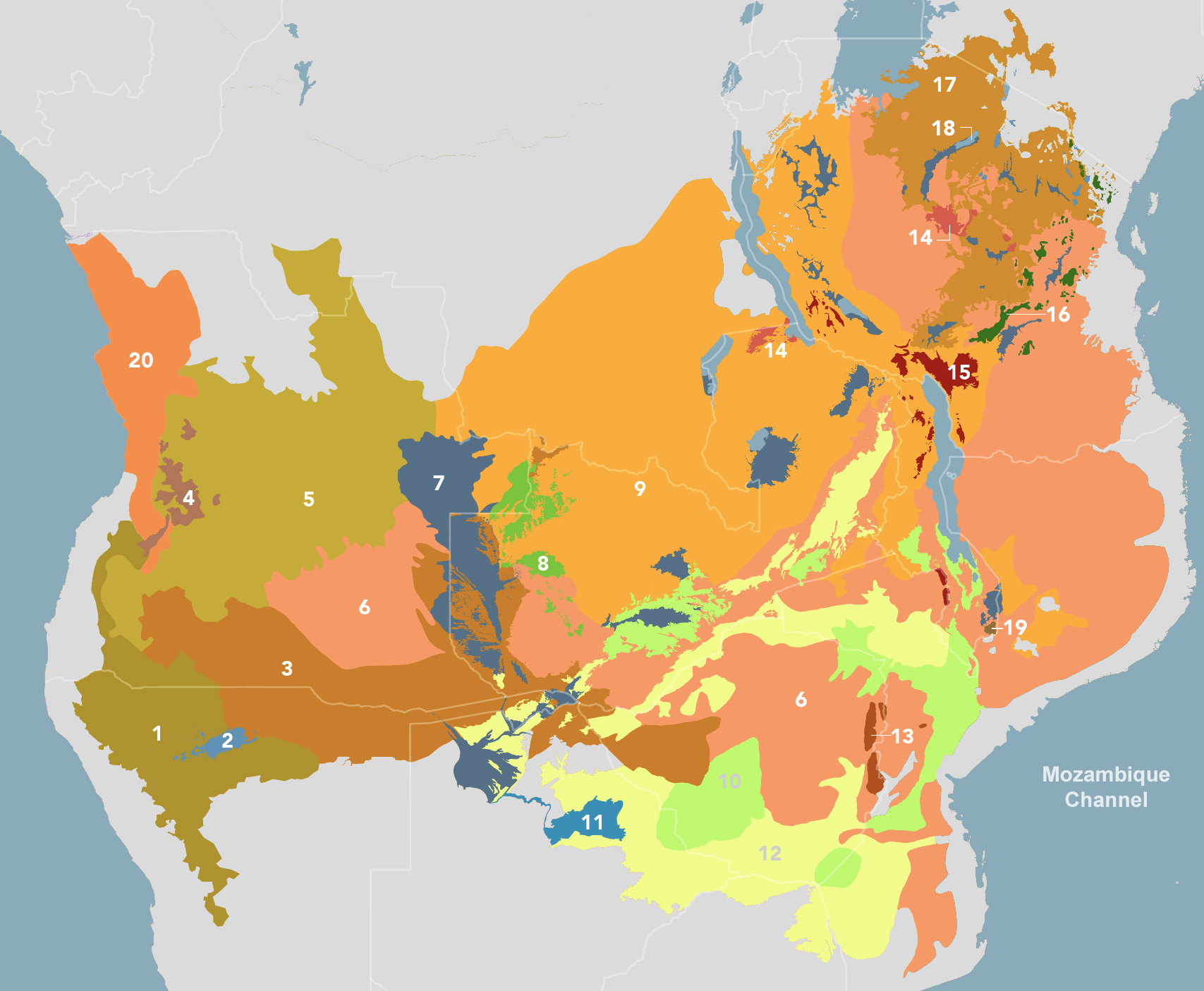
The Greater African Subequatorial Savannas & Mixed Woodlands bioregion is part of the Sub-Equatorial Afrotropics subrealm and is made up of 20 ecoregions: Angolan Mopane Woodlands [1], Etosha Pan Halophytics [2], Zambezian Baikiaea Woodlands [3], Angolan Montane Forest-Grassland [4], Angolan Wet Miombo Woodlands [5], Dry Miombo Woodlands [6], Zambezian Flooded Grasslands [7], Zambezian Evergreen Dry Forests [8], Central Zambezian Wet Miombo Woodlands [9], Zambezian-Limpopo Mixed Woodlands [10], Makgadikgadi Halophytics [11], Zambezian Mopane Woodlands [12], Nyanga-Chimanimani Montane Forest-Grassland [13], Itigi-Sumbu Thicket [14], Southern Rift Montane Forest-Grassland [15], Eastern Arc Forests [16], Southern Acacia-Commiphora Bushlands and Thickets [17], East African Halophytics [18], Mulanje Montane Forest-Grassland [19], Angolan Scarp Savanna and Woodlands [20].
Learn more about each of the Greater African Sub-Equatorial Savannas & Mixed Woodlands ecoregions below.

Subscribe to receive monthly updates on climate solutions, environmental heroes, and the profound beauty and wonder of our shared planet Earth.

Explore the Bioregions
Want to learn more about the fascinating species, diverse ecosystems, and natural wonders of the Earth? Click the button below to launch One Earth's interactive navigator and discover your Bioregion!
LAUNCH NAVIGATOR