
Southeast Polynesian Islands bioregion
The bioregion’s land area is provided in units of 1,000 hectares. The conservation target is the combined Global Safety Net (GSN1) areas for the component ecoregions. The protection level indicates the percentage of the GSN goal that is currently protected on a scale of 0-10. N/A means data is not available at this time.
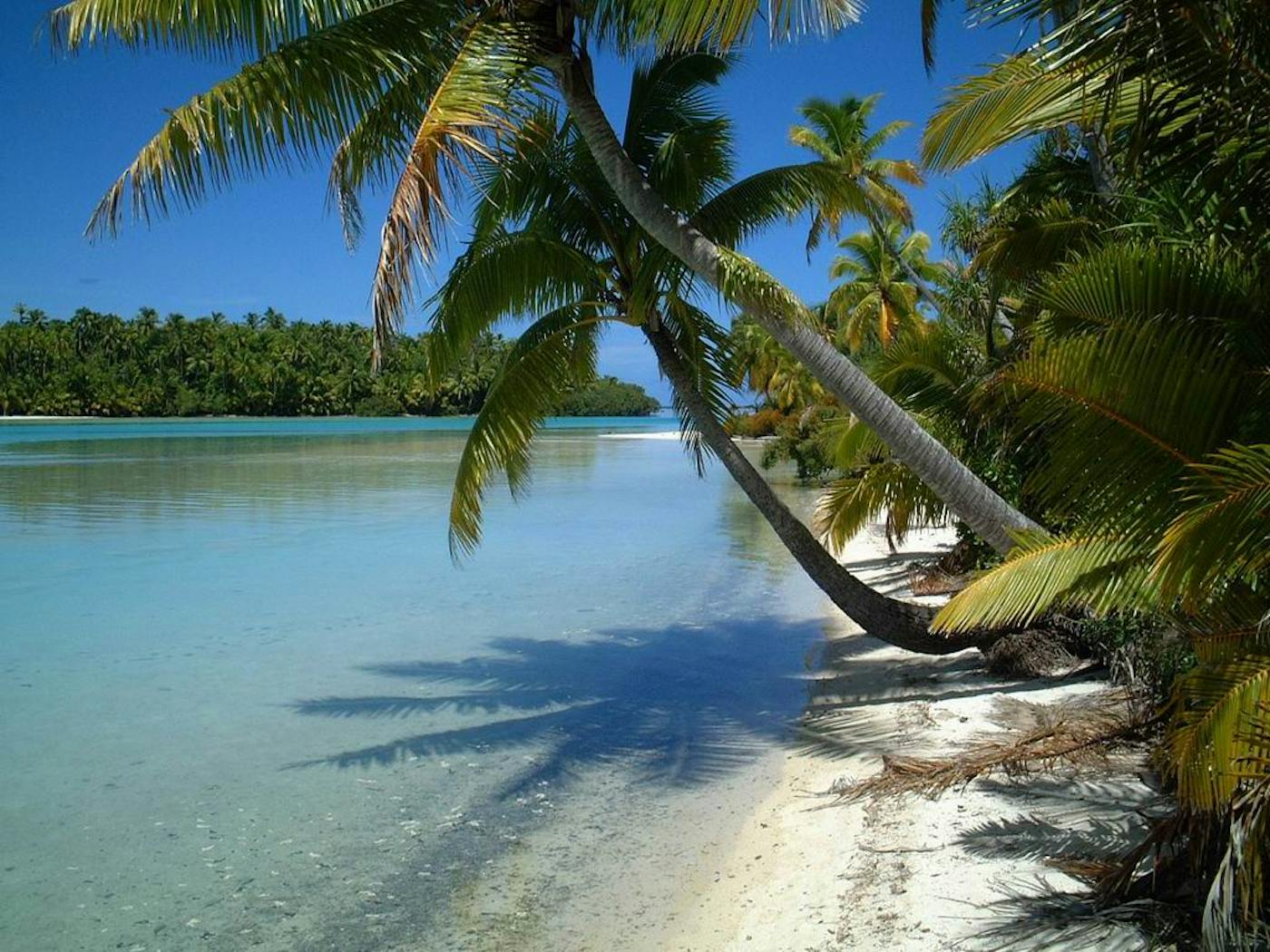
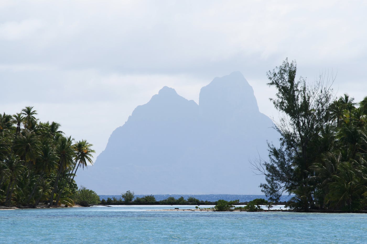
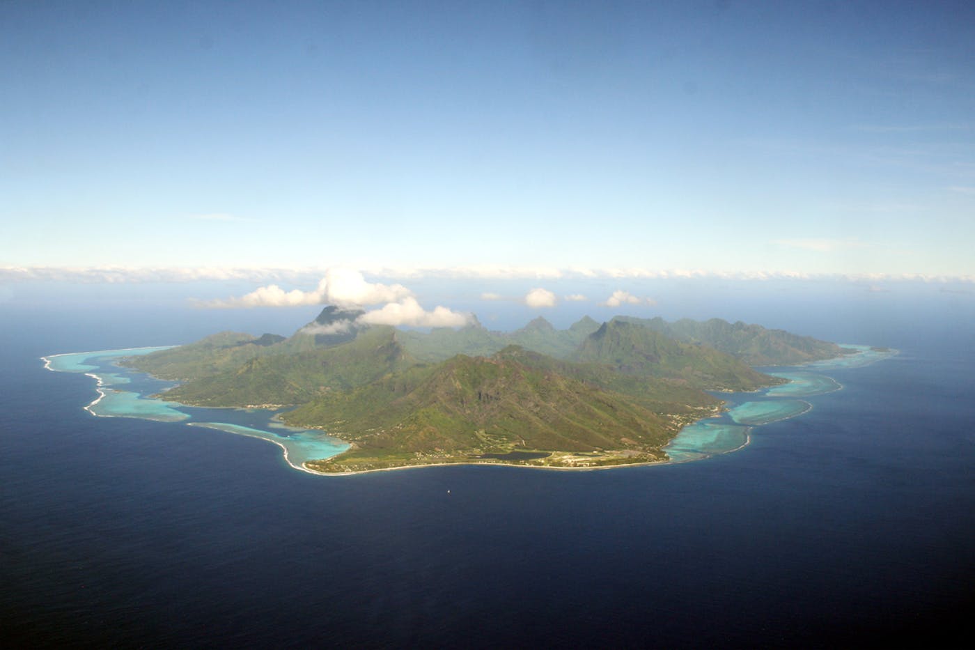
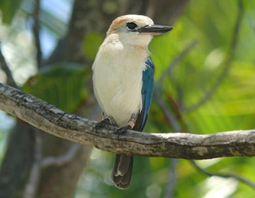
The Southeast Polynesian Islands bioregion is located in the Oceania realm and contains four ecoregions – Cook Islands Tropical Moist Forests [1], Society Islands Tropical Moist Forests [2], Tuamotu Tropical Moist Forests [3], Tubuai Tropical Moist Forests [4] – totaling approximately 293 thousand hectares of land area.
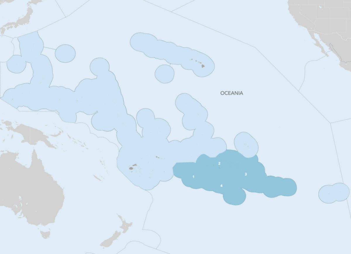
The Southeast Polynesian Islands bioregion is part of the Oceania subrealm and is made up of four ecoregions: Cook Islands Tropical Moist Forests [1], Society Islands Tropical Moist Forests [2], Tuamotu Tropical Moist Forests [3], Tubuai Tropical Moist Forests [4].
Learn more about each of the Southeast Polynesian Islands ecoregions below.

Subscribe to receive monthly updates on climate solutions, environmental heroes, and the profound beauty and wonder of our shared planet Earth.

Explore the Bioregions
Want to learn more about the fascinating species, diverse ecosystems, and natural wonders of the Earth? Click the button below to launch One Earth's interactive navigator and discover your Bioregion!
LAUNCH NAVIGATOR