.jpg?auto=compress%2Cformat&w=1600)

Eastern Great Lakes Lowland Forests
The ecoregion’s land area is provided in units of 1,000 hectares. The conservation target is the Global Safety Net (GSN1) area for the given ecoregion. The protection level indicates the percentage of the GSN goal that is currently protected on a scale of 0-10. N/A means data is not available at this time.
Bioregion: Northern Great Lakes Forests (NA11)
Realm: Northern America
Ecoregion Size (1000 ha):
12,996
Ecoregion ID:
334
Conservation Target:
31%
Protection Level:
1
States: United States: OH, PA, NY, VT. Canada: ON, QC
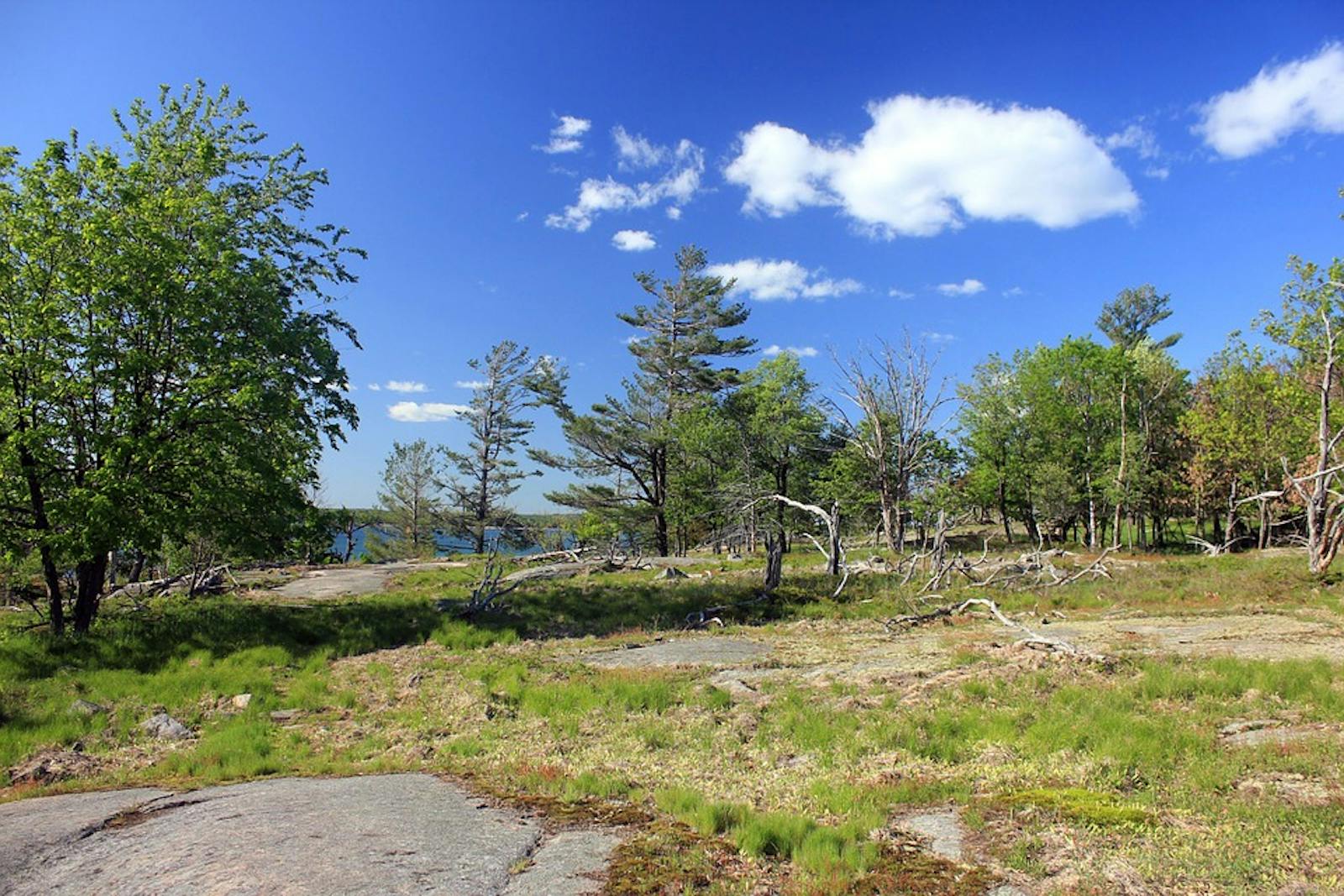
The Eastern Great Lakes Lowland Forests ecoregion covers most of the region around the eastern Great Lakes and the St. Lawrence River. This includes a thin slice of Ohio and Pennsylvania along the southern shore of Lake Erie; New York state north of the Allegheny Plateau; northwestern Vermont; southern and central Ontario north of the Southern Great Lakes Forests ecoregion and north along Lake Huron, including the Bruce Peninsula and Manitoulin Island; and, Quebec along the St. Lawrence River, including Montreal and Quebec City. Due to its modest topography and proximity to the St. Lawrence Seaway, the region is highly converted, with less than 5% of its area intact.
.jpg)
The flagship species of the Eastern Great Lakes Lowland Forests ecoregion is the arbor vitae. Image credit: Creative Commons
The climate of the Eastern Great Lakes Lowland Forests ecoregion is humid cold temperate. The portion of the region lying to the lee (generally south) side of the Great Lakes receives some of the highest snowfall levels in eastern North America, due to the so-called “lake effect,” where a cold air mass moves across a broad expanse of warmer lake water, picking up water vapor and then rising and producing snow. The region is underlain by Paleozoic limestones and other carbonate-rich rocks.
The southern portion of the ecoregion is divided by the Niagara Escarpment, which extends northward through the Bruce Peninsula and Manitoulin Island. Other than the spectacular cliffs of the Escarpment, this ecoregion has little topographic relief. Lakes, wet depressions, moraines, eskers, outwash plains, and other glacial features are typical of the region, which was entirely covered by the last (Wisconsin) glaciation as well as earlier glaciations.
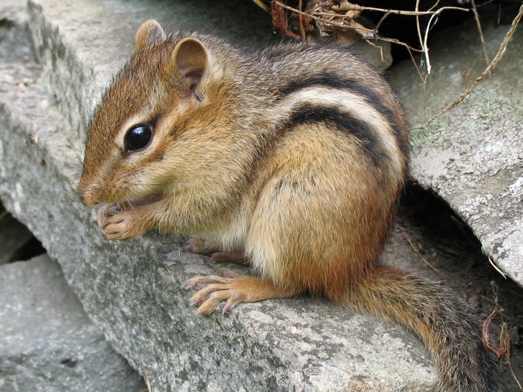
Eastern Chipmunk. Image credit: Gilles Gonthier, Creative Commons
The primary pre-settlement forest type was hemlock-white pine-northern hardwoods forest. Eastern hemlock, white pine, and red pine are the major conifers, whereas characteristic hardwoods include yellow birch, sugar maple, American beech, and red oak. Early successional trees are white pine, quaking aspen, and paper birch, whereas moist sites have red maple, elms, ashes, and eastern cottonwood. Arborvitae (northern white cedar) occurs both in wet depressions and on dry, exposed sites, such as cliffs.
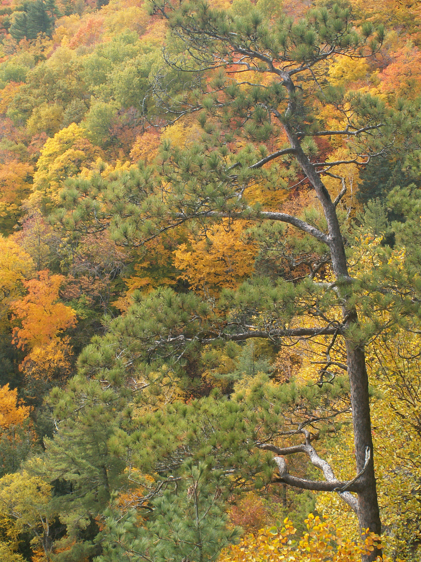
Red pine. Image credit: Creative Commons
The Niagara Escarpment, a World Biosphere Reserve, contains impressive limestone cliffs with ancient arbor vitae trees more than 1,000 years old (the oldest aged at 1,890 years), among the oldest trees in eastern North America. As in many predominantly forested regions, the non-forest communities of this ecoregion contain much of the most significant biodiversity. These include dunes, marshes, bogs, fens, and the unique alvar barrens and grasslands (also known as pavement barrens).
Alvars, which are largely restricted to this ecoregion in North America, also occur on islands in the Baltic Sea and in Estonia and small areas of the United Kingdom. This globally imperiled community is typically a mosaic of exposed limestone or dolomite pavement, deep fissures, and rubble mixed with patches of open grasslands, shrub savanna, and woodland. Many rare plants are found here, including prairie species on the eastern edge of their ranges.
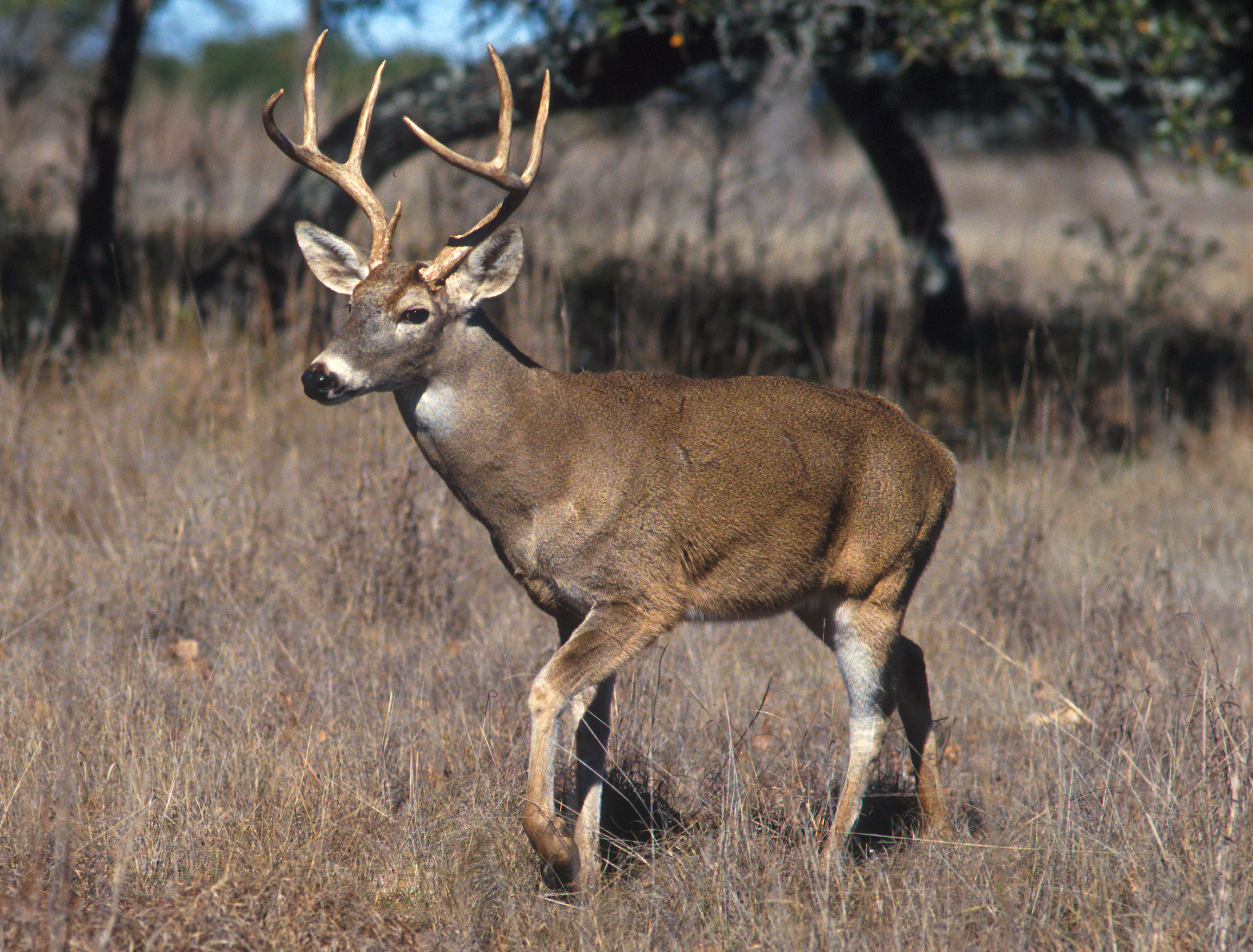
White-tailed deer. Image credit: Scott Bauer, USDA
The Eastern Great Lakes Lowland Forests ecoregion has lost over 95% of its pre-settlement vegetation to agriculture, urban sprawl, and other human land uses. Much of the remaining habitat is wetland or abandoned farmland undergoing reforestation. The St. Lawrence River is one of the most polluted waterways in North America.
Priority conservation actions for the next decade are to: 1) protect and expand existing remnants of natural vegetation, for example by preventing urban sprawl; 2) greatly increase federal, state, and local acquisition of conservation lands, especially of alvars, other imperiled communities, and the Niagara Escarpment, and improve management of existing conservation lands; and 3) reduce or eradicate populations of problematic exotic species.
Citations
1. Riley, J.L. 2013. The Once and Future Great Lakes County: An Ecological History. McGill-Queen’s University Press, Montreal.
2. Ricketts, T.H. et al. 1999. Terrestrial Ecoregions of North America: A Conservation Assessment. Island Press, Washington, D.C.
3. Lafferty, M.B., editor. 1979. Ohio’s Natural Heritage. Ohio Academy of Science, Columbus.

Subscribe to receive monthly updates on climate solutions, environmental heroes, and the profound beauty and wonder of our shared planet Earth.
