_-_panoramio-CC-2017.jpg?auto=compress%2Cformat&w=1600)

Irrawaddy Freshwater Swamp Forests
The ecoregion’s land area is provided in units of 1,000 hectares. The conservation target is the Global Safety Net (GSN1) area for the given ecoregion. The protection level indicates the percentage of the GSN goal that is currently protected on a scale of 0-10. N/A means data is not available at this time.
Bioregion: Myanmar Coastal Rainforests & Andaman Sea Islands (IM9)
Realm: Indomalaya
Ecoregion Size (1000 ha):
1,519
Ecoregion ID:
234
Conservation Target:
5%
Protection Level:
0
States: Myanmar
Way back in 1929, the Burma Game Manual stated its guiding principle as: “A countryside devoid of wildlife is uninteresting and unnatural, and life under such conditions can adversely affect the national character.” This statement was an explicit reference to the necessity to conserve and save the nation’s ecosystems and biodiversity from the very anthropogenic threats that have befallen this ecoregion.
Most of the Irrawaddy Freshwater Swamp Forests have now been converted to rice paddies and settlements. Hunting has depleted the wildlife. Myanmar’s previous capital city, Yangon, which supports a large human population sits in this ecoregion.
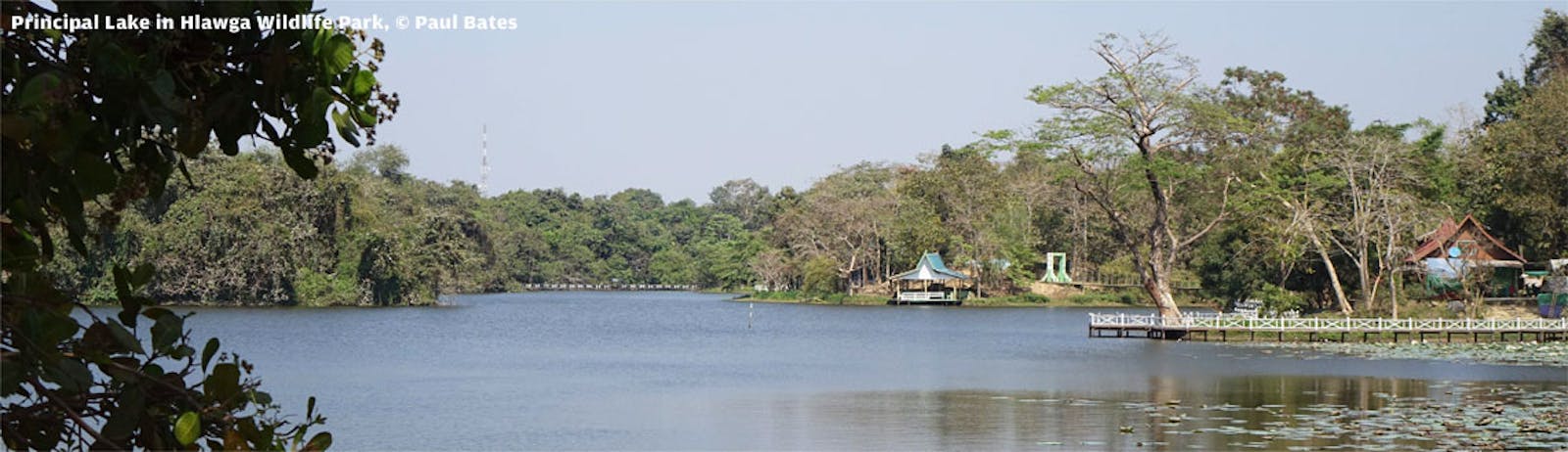
The ecoregion represents the forests immediately behind the mangroves, in the zone where the fresh water from the Irrawaddy River pushes back the salt water. The climate is tropical monsoonal, with heavy monsoon rains from June to October. Geologically the ecoregion is composed of shale and sedimentary rocks in the west, and sandy loam and calcareous substrates in the east. The river delta area is loamy as the result of slit deposition and tidal actions.
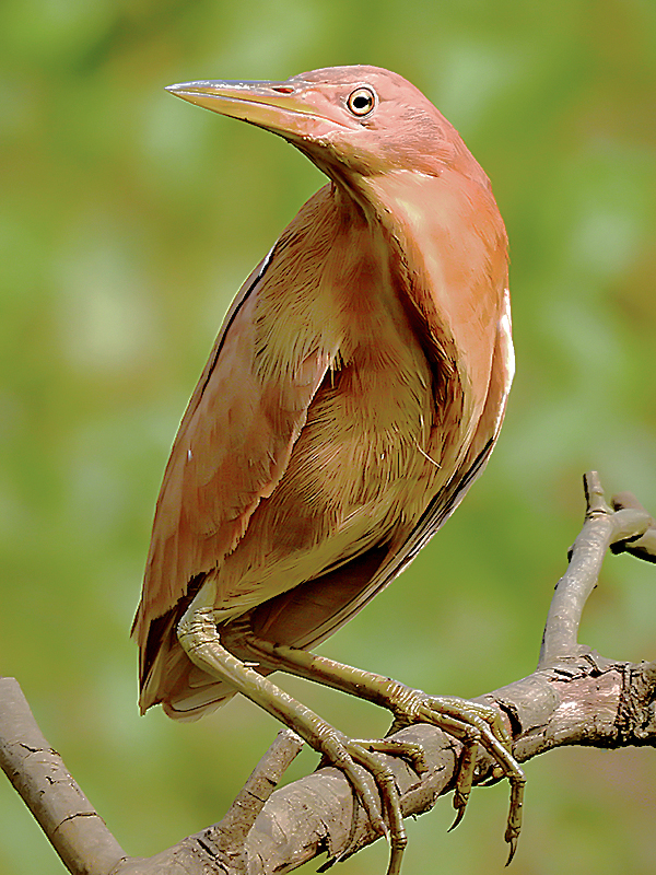
The flagship species of the Irrawaddy Freshwater Swamp Forests ecoregion is the cinnamon bittern. Image credit: Creative Commons
Very little of the ecoregion’s natural forests have formal protection, and almost all of the unprotected forests have been converted to anthropogenic land uses. The region is highly fertile because of the silt brought down by the Irrawaddy River. The southern portion of the ecoregion with fanlike marshes, oxbow lakes, islands, and meandering rivulets and streams transitions into the Myanmar Coastal Mangroves ecoregion.
The vegetation is made up of a mix of deciduous forests, characterized by trees such as Tectona grandis (Teak), Xylia kerri, and species of Salmalia, Dalbergia, Spondias, Terminalia, Eugenia, and Vitex, among others. Bamboo brakes are prevalent, especially on the eastern slopes of the Rakhine mountains.
Most of the large mammals have been extirpated from this ecoregion; a few refuge populations of sambar deer and hog deer cling to survival, but wild boars are more numerous. Tigers and leopards, the primary predators of these deer and wild pigs, were once abundant but have been extirpated.
Despite the extensive loss of forests, the ecoregion’s wetlands are important for migratory birds that arrive by the thousands every year. These include a diverse array of wading and shore birds, such as Mongolian plover, spoon-billed sandpiper, black-tailed godwit, Eurasian curlew, Temminck’s stint, Asian openbill stork, cinnamon bittern, Indian pond-heron, Pacific reef-egret, woolly-necked stork, black-headed ibis, spot-billed duck, pheasant-tailed jacana, oriental pratincole, black-bellied tern, just to name a few of the diverse array. The estuarine or mugger crocodile may still exist in these wetlands, but the population is probably low.
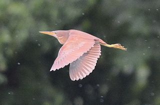
Cinnamon bittern. Image credit: Creative Commons
The Irrawaddy is one of the most heavily silted rivers in the world, with a sedimentation rate of almost 300 million tons per year, and ranked just behind the Yellow, Ganges, Amazon, and Mississippi rivers in silt deposition. The sedimentation rate is mounting because of deforestation in the upper watersheds. Thus, the threats to the ecoregion’s forests and biodiversity originate from outside the ecoregion boundaries as well.
Recommended priority interventions are to: 1) secure and conserve the existing protected areas; 2) conserve the wetlands for the waterbirds; and 3) develop and implement regional strategic conservation action plans to protect and restore the environmental integrity of the Irrawaddy system in this and neighboring ecoregions.
Citations
1. Wikramanayake, E, E. Dinerstein, et al. 2002. Terrestrial Ecoregions of the Indo-Pacific: A Conservation Assessment. Island Press.
2. Critical Ecosystem Partnership Fund. Ecosystem Profile. Indo-Burma Biodiversity Hotspot. 2011 Update. Oct 2012. https://www.cepf.net/Documents/final.indoburma_indochina.ep.pdf Accessed 15 December 2017.
3. Tordoff, A.W., Baltzer, M.C., Fellowes, J.R., Pilgrim, J.D. and Langhammer, P.F., 2012. Key biodiversity areas in the Indo-Burma Hotspot: process, progress and future directions. Journal of Threatened Taxa, 4(8), pp.2779-2787.

Subscribe to receive monthly updates on climate solutions, environmental heroes, and the profound beauty and wonder of our shared planet Earth.
