
Northeast India-Myanmar Pine Forests
The ecoregion’s land area is provided in units of 1,000 hectares. The conservation target is the Global Safety Net (GSN1) area for the given ecoregion. The protection level indicates the percentage of the GSN goal that is currently protected on a scale of 0-10. N/A means data is not available at this time.
Bioregion: Arakan Mountains & Northern Triangle Forests (IM10)
Realm: Indomalaya
Ecoregion Size (1000 ha):
973
Ecoregion ID:
304
Conservation Target:
72%
Protection Level:
0
States: India, Myanmar
Although subtropical and tropical pine forests are not as species-rich as adjacent broadleaf forests, they are rare representatives of a vegetation type with restricted distributions. The Northeast India-Myanmar Pine Forests ecoregion is one of the only four such pine forest ecoregions in the Indo-Pacific region.
The flagship species of the Northeast India-Myanmar Pine Forests ecoregion is the Khasi pine. Image credit: Creative Commons
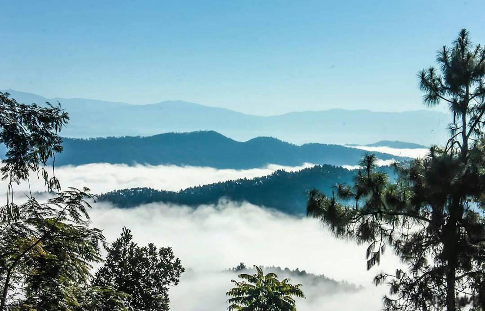
The ecoregion represents the pine forests distributed in three isolated patches that cover over 9,600 km2 in the Naga Hills, which form the international border between India and Myanmar. The pine forests grow at elevations between 1,500 and 2,500 m. The Naga Hills are in the northern reaches of the mountain range, formed from the geological compression and buckling that happened when the drifting Deccan Plate, comprising the present-day Indian subcontinent, collided with the northern Eurasian plate over 40 million years ago.
The mountain range forms a huge arc from the extreme eastern parts of the Himalayan Mountains to Indonesia. Most of the south-eastern reaches of the mountain range are submerged beneath the Indian Ocean, emerging in places to form the Andaman and Nicobar Islands, and some of the Indonesian islands further south.
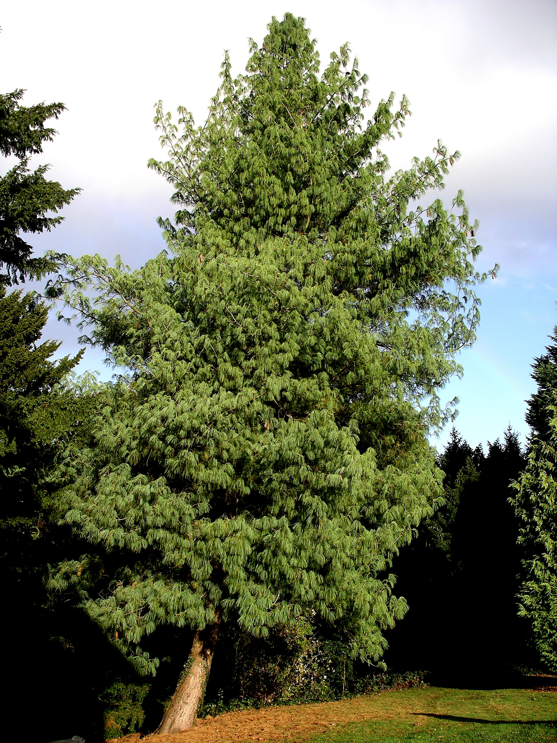
Bhutan pine tree. Image credit: Creative Commons
The Naga Hills intercept the monsoons from the Bay of Bengal, and receive heavy rainfall that precipitates out as the warm, moisture-laden winds are forced up by the mountains. But the complex topography, landforms, and geologic characteristics of the mountains resulted in variations in rainfall patterns that influence the vegetation types, including the large ecoregion-scale pine forests.
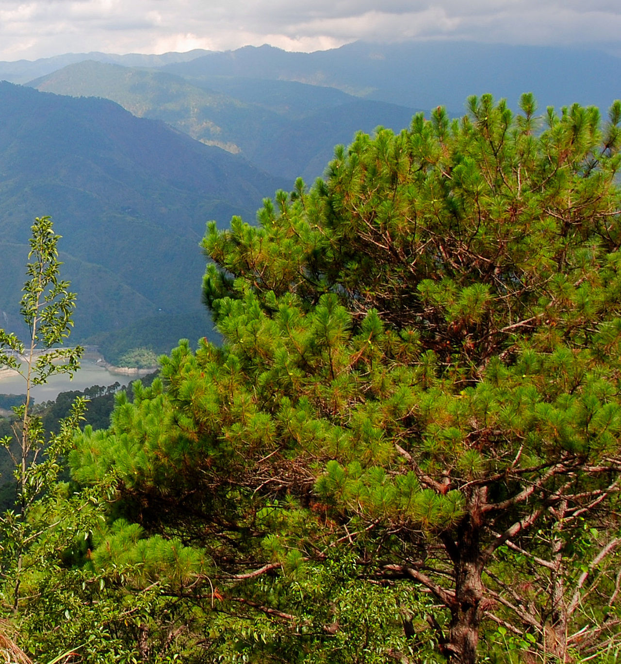
In the lower elevations, the dominant pine trees are Tenasserim pine usually in association with some broadleaf trees such as species of Dipterocarpus, a common broadleaf tree family of Asian forests. Tenasserim pine was previously thought to be the same species as Merkus pine or Sumatran pine, which forms tropical pine forests in the higher elevation forests of Sumatra in Indonesia and in the Philippines. It has now been recognized as a different species.

Grey-sided laughingthrush. Image credit: Dibyendu Ash, Creative Commons
In higher elevations, the Tenasserim pine trees are replaced by Khasi pine and blue pine, usually in association with hemlock and spruce, mixed with broadleaf trees such as maples, oaks and rhododendrons. A thick layer of pine needles accumulates on the forest floor and retards the development of an undergrowth, except for a few herbaceous plants such as Anemone, Crotalaria, and Desmodium. However, a variety of orchids usually grow attached to the trunks of mature pine trees. These include species of Bulbophyllum, Cleisostoma, Coelogony, Cymbidium, Dendrobium, and Vanda.
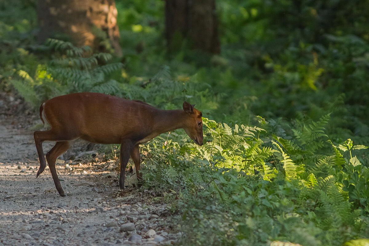
Barking deer. Image credit: Dibyendu Ash, Creative Commons
The mammal list from this ecoregion is short; some of the animals recorded include sambar, barking deer, wild boar, Asiatic black bear, and serow. The birds are also less diverse than in the adjoining broadleaf ecoregions. However, several distinct bird species are found pine forests, including the silver-breasted broadbill, white-naped yuhina, grey-sided laughingthrush, rufous-chinned laughingthrush, striated laughingthrush, and sultan tit.
There is hardly any formal protection of forests and biodiversity in this ecoregion, but about 67% of the habitat is still intact, largely because of the remote and inaccessible locations for commercial logging enterprises. But shifting cultivation has denuded some hillsides. Forest fires are common, set by resin tappers. The pine forests are adapted to forest fires, but frequent fires and shifting cultivation have increased erosion and sedimentation of rivers.

Stripe throated Yuhina. Image credit: Creative Commons
Thus, the priority conservation actions are to: 1) establish additional protected areas in this ecoregion for better representation; 2) develop effective management plans and management structures for the protected areas; and 3) engage local communities as conservation stewards.
Citations
1. Wikramanayake, E, E. Dinerstein, et al. 2002. Terrestrial Ecoregions of the Indo-Pacific: A Conservation Assessment. Island Press.
2. Critical Ecosystems Partnership Fund. 2012. Ecosystem Profile. Indo-Burma Biodiversity Hotspot. 2011 Update. https://www.cepf.net/Documents/final.indoburma_indochina.ep.pdf Accessed Dec 2017.
3. Chatterjee, S., Saikia, A., Dutta, P., Ghosh, D., Pangging, G. and Goswami, A.K., 2006. Biodiversity significance of North east India. WWF-India, New Delhi, pp.1-71.

Sign up to receive monthly updates about our work.
