
Palouse Prairie
The ecoregion’s land area is provided in units of 1,000 hectares. The conservation target is the Global Safety Net (GSN1) area for the given ecoregion. The protection level indicates the percentage of the GSN goal that is currently protected on a scale of 0-10. N/A means data is not available at this time.
Bioregion: Columbia Plateau & Blue Mountains (NA17)
Realm: Northern America
Ecoregion Size (1000 ha):
8,389
Ecoregion ID:
398
Conservation Target:
29%
Protection Level:
1
States: United States: OR, WA, ID. Canada: BC
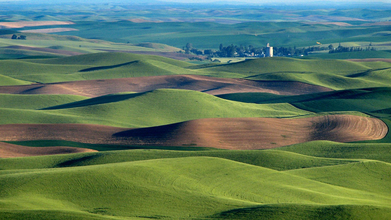
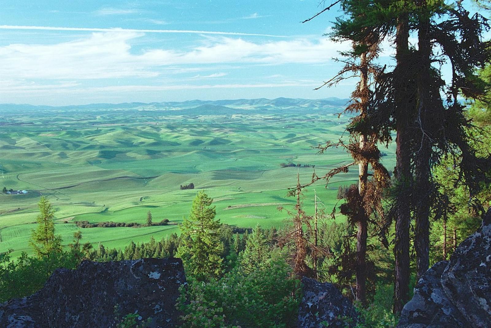
The Palouse Prairie was once one of the most extensive grasslands in the Intermountain West, with many thousands of square kilometers of perennial grasses; now it has been largely converted to wheat. This ecoregion occupies a large area of the Columbia Basin and Okanogan Highlands physiographic provinces of north-central Oregon, central and eastern Washington, and small areas of western Idaho and south-central British Columbia. Most of this ecoregion lies within the Columbia Basin physiographic province.
The major geologic events that shaped the Basin were volcanic eruptions during the Miocene Epoch, from 17 to 14 million years ago, which produced the Columbia River Flood Basalts and engulfed a 163,700-km2 area. Much of this region in southeastern Washington was subsequently covered during the Pleistocene Epoch by a wind-blown silty soil, known as Palouse loess, up to 45 m thick.
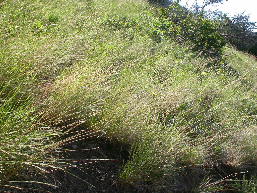
The flagship species of the Palouse Prairie ecoregion is the bluebunch wheatgrass. Image credit: Courtesy of Matt Lavin, Flickr
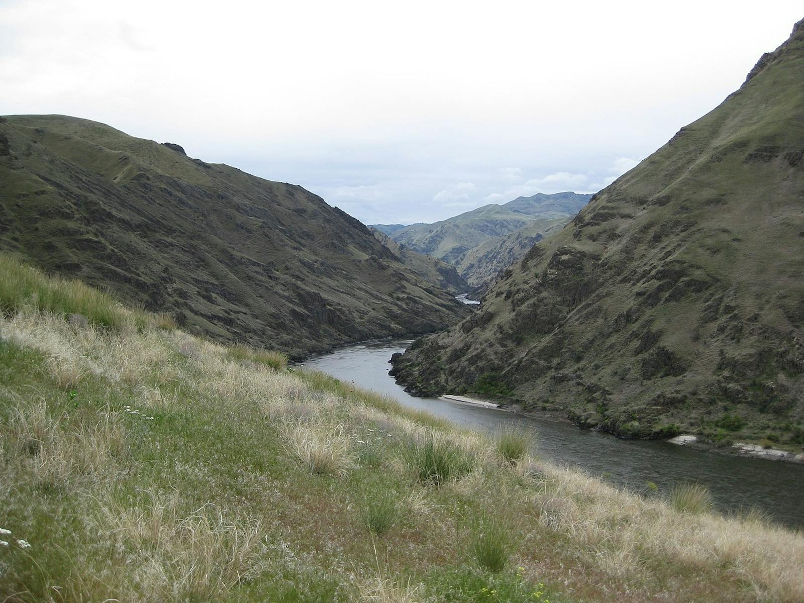
A large portion of central and southeastern Washington is known as the Channeled Scablands, a complex series of barren, dry, and deeply cut flood channels eroded through Palouse loess and basalt. The overall drainage pattern has an apparent entrance in the northeast and an exit in the southwest. It is now generally accepted that the scouring was caused by a large number of cataclysmic floods during the Pleistocene, triggered by the periodic collapse of the ice dam from the Cordilleran Ice Sheet that created Glacial Lake Missoula. The last of the major floods occurred between 18,200 and 14,000 years ago.
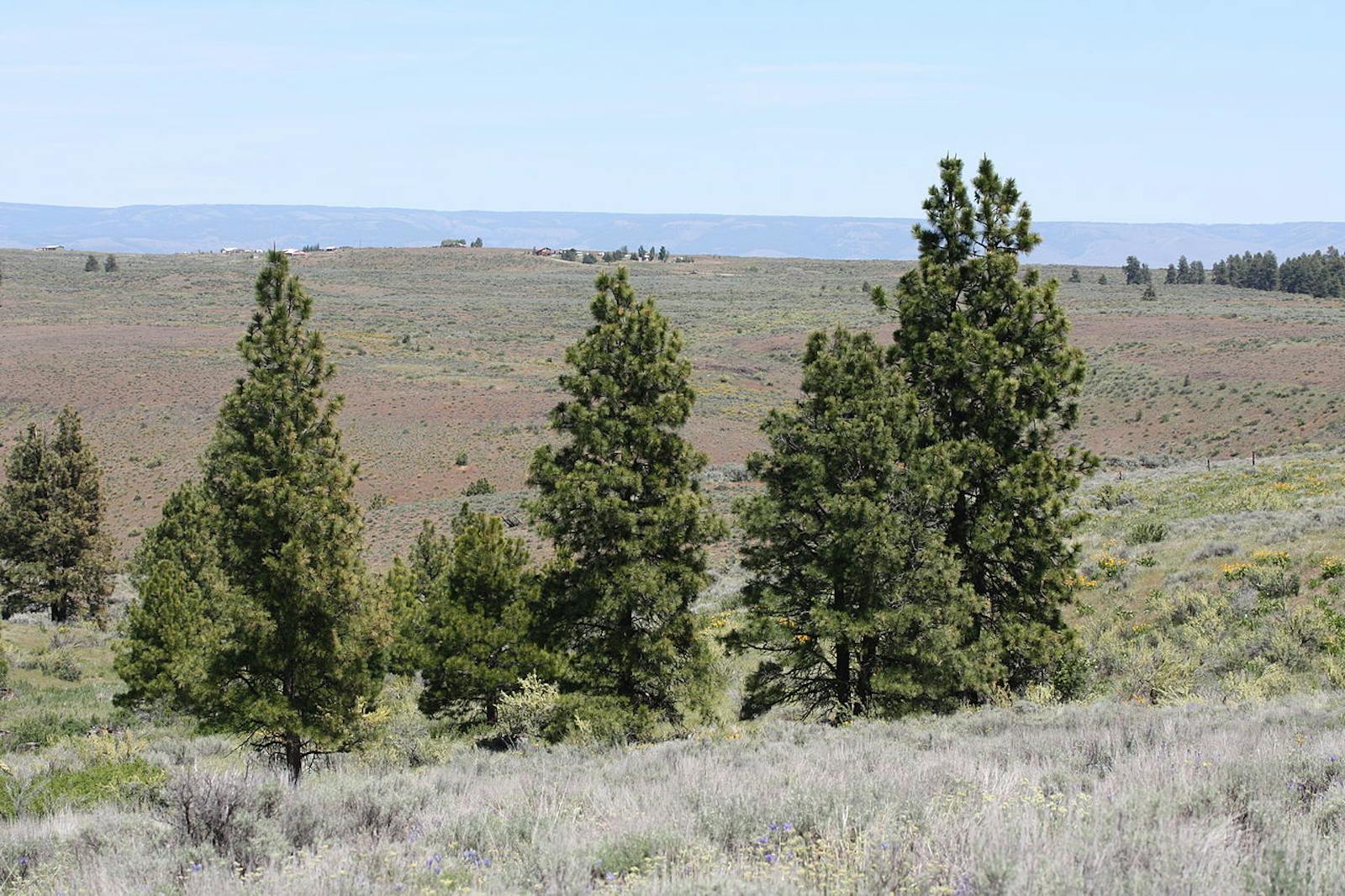
The climate of the Palouse Prairie ecoregion is warm in summer and cold in winter, with low precipitation at an average of 571 mm per annum, most of it in winter. The Palouse Prairie proper, prior to EuroAmerican settlement, was dominated by bluebunch wheatgrass, Idaho fescue, Sandberg bluegrass, and giant wildrye, among other mostly perennial cool-season grass species.
Overgrazing by livestock caused the demise of the native grasses and promoted invasion by sagebrush and nonnative grasses, especially cheatgrass and Kentucky bluegrass, along with many annual forbs (broad-leaved herbaceous plants). Frequent, intense fires promoted by cheatgrass hastened the transition away from the native prairie, as the fires were more intense than even the fire-adapted native grasses could tolerate. On the other hand, fire suppression also affected large areas of native prairie.
Population growth in the late 19th and early 20th century was substantial, when this region was even more populous than the Puget Lowlands. Subsequently, some 99.9% of the Palouse Prairie grasslands were lost to agriculture, making this one of the most highly endangered ecosystems in the United States. Areas of sparser, shallow soil, such as much of the Channeled Scablands, remain in more natural condition. This landscape is often dominated by dwarf-shrubland.
Common species include wild buckwheat and rigid sagebrush, with much lichen and moss cover but low cover of grasses and forbs. Vernal pools are scattered throughout the Scablands. These pools, which fill with water or snow during the winter, then dry up by early to mid-summer, have a characteristic flora and probably a unique fauna, but they have not been well studied. Basalt pothole ponds are another community of interest in the Scablands. Characteristic vegetation includes emergent marsh along the shoreline, with pondweed and pond-lilies floating in the water. Woody plants, such as quaking aspen and coyote willow, often line the more northern potholes.
As noted above, the classic Palouse Prairie grasslands are essentially gone, though shallow-soil areas less suitable for agriculture have remained more intact. Urban sprawl is notable across much of the ecoregion. Priority conservation actions for the next decade are to: 1) establish new protected areas to capture the best examples of all remaining natural communities, for example the unique dwarf-shrublands, vernal pools, and basalt pothole ponds of the Channeled Scablands, and to restore native prairie; 2) improve range management and reduce livestock grazing on remaining grasslands; and 3) control invasive exotic plants, especially cheatgrass, which has invaded most of this ecoregion.
Citations
1. Sims, P.L., and P.G. Risser. 2000. Grasslands. Pages 323-356 in M.G. Barbour and W.D. Billings, eds. North American Terrestrial Vegetation, 2nd edition. Cambridge University Press, Cambridge, U.K.
2. Franklin, J.F., and C.T. Dyrness. 1973 (plus 1988 Supplement). Natural Vegetation of Oregon and Washington. Oregon State University Press, Corvallis.
3. Ricketts, T.H. et al. 1999. Terrestrial Ecoregions of North America: A Conservation Assessment. Island Press, Washington, D.C.

Subscribe to receive monthly updates on climate solutions, environmental heroes, and the profound beauty and wonder of our shared planet Earth.
