
South China Sea Islands
The ecoregion’s land area is provided in units of 1,000 hectares. The conservation target is the Global Safety Net (GSN1) area for the given ecoregion. The protection level indicates the percentage of the GSN goal that is currently protected on a scale of 0-10. N/A means data is not available at this time.
Bioregion: Philippines & Sulu Sea Tropical Forests (IM15)
Realm: Indomalaya
Subrealm: Southeast Asian Forests
Ecoregion Size (1000 ha):
3
Ecoregion ID:
267
Conservation Target:
0%
Protection Level:
States: China; disputed territory
The South China Sea Islands ecoregion consists of over 250 islands, atolls, and shoals scattered throughout the South China Sea, and grouped into three archipelagos: namely Pratas (or Dungsha, as recognized by China), Paracel Islands or Xisha, and the highly disputed Spratly Islands, or Nansha.
Despite being spread across a vast oceanic area, the actual land area above sea level is quite miniscule, and the important biodiversity remains hidden beneath the waves, in the surrounding coral reefs. For instance, the Spratly Islands are surrounded by over 600 highly diverse coral reefs.
The Spratly Islands, being the southernmost of the three archipelagos, have a tropical climate. The average annual temperature is around 27°C. A seven-month dry season alternates with a five-month rainy season that brings about 1,800 to 2,200 mm of rainfall. The climate of the Pratas, or Dungsa islands, further north, is only slightly less tropical, with an average annual temperature of 25°C, but receives less rainfall at about 1,350 mm annually.
.")
The red-footed booby (Sula sula rubripes) is the flagship species of the South China Sea Islands ecoregion. Image credit: CC BY-SA 3.0, Gregg Yan
The islands are spread over a shallow continental shelf with an average depth of 200 m. But near the Spratly Islands, the sea floor drops abruptly for over 5,000 m into the Palawan Trough that runs parallel to Palawan Island of the Philippines. This undersea abyss is believed to have formed during the Cenozoic period, along with the formation of the Himalayan Mountains sometime in the Cenozoic period over 50 million years ago.
An abundance of minerals, natural gas, and oil deposits on and around the islands have resulted in multiple claimants for territorial rights, creating disputes and political tensions among the countries surrounding these islands.
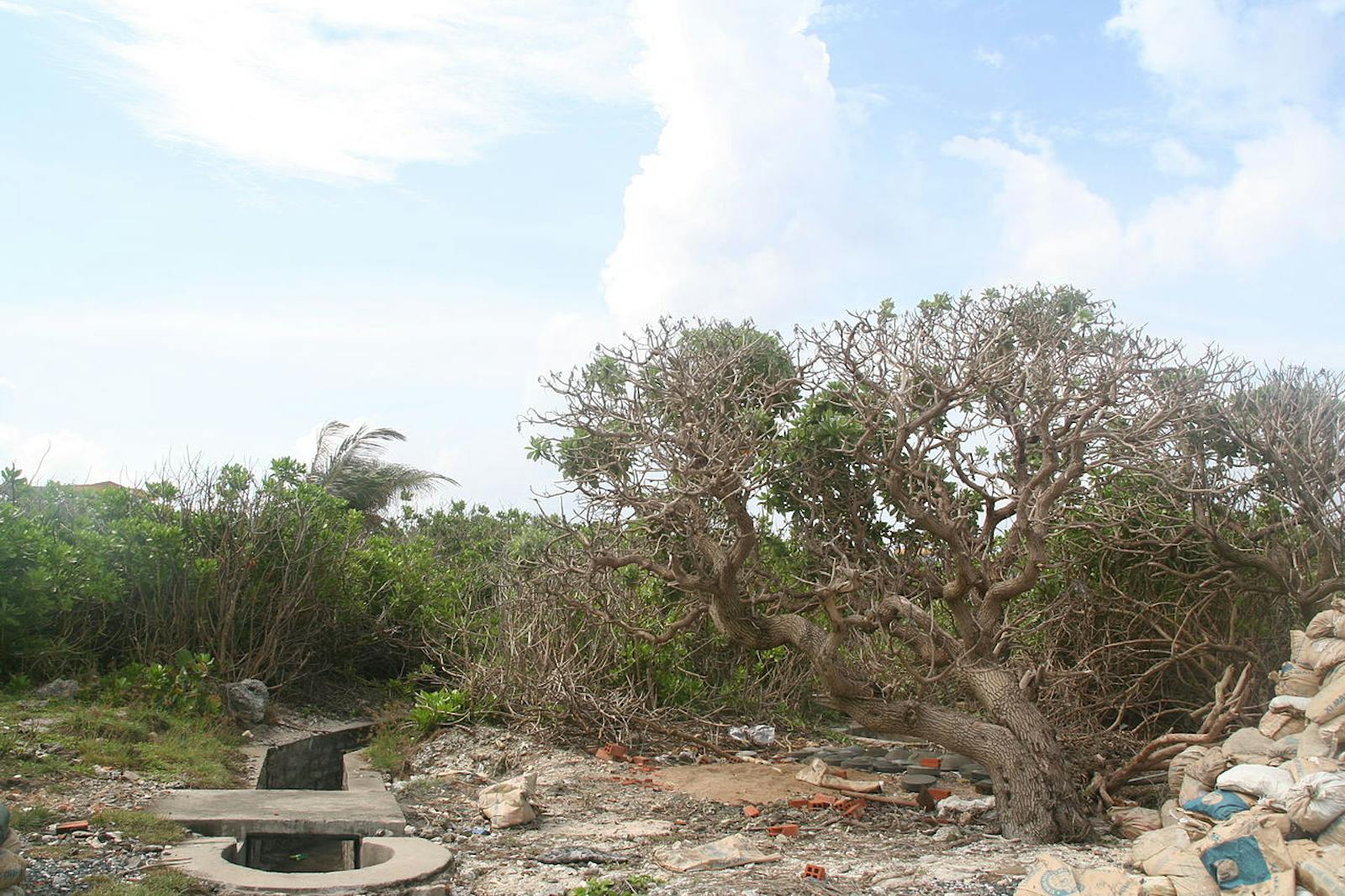
The scrub and beach vegetation on Nansha (Spratly islands) is dominated by Cordia subcordata, Scaevola sericea and Terminalia catappa. Overall, 48 species of vascular plants belonging to Rubiaceae, Boraginaceae, Goodeniaceae, Papilionaceae, Convolvulaceae, and Poaceae have been recorded from these islands. Triumfetta repens, Clitroia macrophlla, Ochrosia borbonica, and Ipomoea gracilis are believed to be found only on these islands.
The vegetation of Xisha (Paracel islands) further north is dominated by Pisonia grandis, Guettarda speciosa, Scaevola sericea and Messer schmidia argentea. In all, 212 species of wild vascular plants from 52 families and 147 genera have been recorded from these islands, with the main plant families being Poaceae, Papilionaceae, Cyperaceae, Euphorbiaceae, Malvaceae, Rubiaceae, Nyctaginaceae and Boraginaceae. The flora of these islands are very similar to those of Hainan Island.
Unsurprisingly, the terrestrial fauna on these islands are species-poor, and no large native mammals have lived here. The islands host several large seabird colonies. Fifty-three species of birds have been recorded from the Paracel islands. About 10% of the world population of the Red-footed Booby breeds on Dong Island in this cluster.
Other important breeding seabirds include the great frigatebird, greater crested tern, sooty tern, black-naped tern, and roseate tern. The breeding seabirds of the Spratly islands include streaked shearwater, brown booby, and white tern. Green turtles and hawksbill turtles nest on the beaches.
The major threats to these islands are development and military activity. China has already dredged, filled, and expanded the land area on some of Spratly and Paracel Islands, and installed military bases complete with airstrips and helipads.
The coral reefs that surround these islands are affected by the constructions and other human activities, including the use of explosives and poisons for fishing. Collection of bird eggs, guano mining, and other human activities can disrupt globally important breeding seabird colonies.
Priority conservation actions:
- Protect the breeding bird colonies;
- Protect and conserve the remaining coral reefs;
- Prevent the introduction of invasive species into these delicate ecosystems.
-
-
Citations
1. McManus, J.W., Shao, K.T. and Lin, S.Y., 2010. Toward establishing a Spratly Islands International Marine Peace Park: ecological importance and supportive collaborative activities with an emphasis on the role of Taiwan. Ocean Development & International Law, 41(3), pp.270-280.
2. Xing, F., Wu, D., Li, Z., Zhao, H. and Chen, S., 1994. Study on the flora and vegetation of Nansha Islands, China. Guangxi Zhiwu, 14(2), pp.151-156.
3. Cao, L., Pan, Y.L. and Liu, N.F., 2007. Waterbirds of the Xisha archipelago, south China sea. Waterbirds, 30(2), pp.296-300. -
Cite this page: South China Sea Islands. Ecoregion Snapshots: Descriptive Abstracts of the Terrestrial Ecoregions of the World, 2021. Developed by One Earth and RESOLVE. https://www.oneearth.org/ecoregions/south-china-sea-islands/
-

Subscribe to receive monthly updates on climate solutions, environmental heroes, and the profound beauty and wonder of our shared planet Earth.
