
Tapajós-Xingu Moist Forests
The ecoregion’s land area is provided in units of 1,000 hectares. The conservation target is the Global Safety Net (GSN1) area for the given ecoregion. The protection level indicates the percentage of the GSN goal that is currently protected on a scale of 0-10. N/A means data is not available at this time.
Bioregion: Southern Amazonian Forests (NT17)
Realm: Southern America
Ecoregion Size (1000 ha):
33,730
Ecoregion ID:
507
Conservation Target:
89%
Protection Level:
8
States: Brazil
In these dense flooded forests, there are few species more obvious by sight or sound than the raucous calls and brilliant, blue plumage of the hyacinth macaw. The hyacinth macaw is native the Tapajós-Xingu Moist Forests and is the largest parrot by length in the world, measuring about 1 m long from head to tail. Their exceptionally strong beaks allow them to crack open many different types of nuts and seeds found along the many riverbanks or deep inside the forest.
Like other macaw species, their tongues have a specialized bone inside to help pick open fruit. On their flights between feeding trees, the macaws carry and spread around some of the seeds that are not opened and consumed, therefore playing an important role in the ecosystem as seed dispersers. The populations of hyacinth macaw in this and other ecoregion are all vulnerable to habitat loss and capture for pet trade.
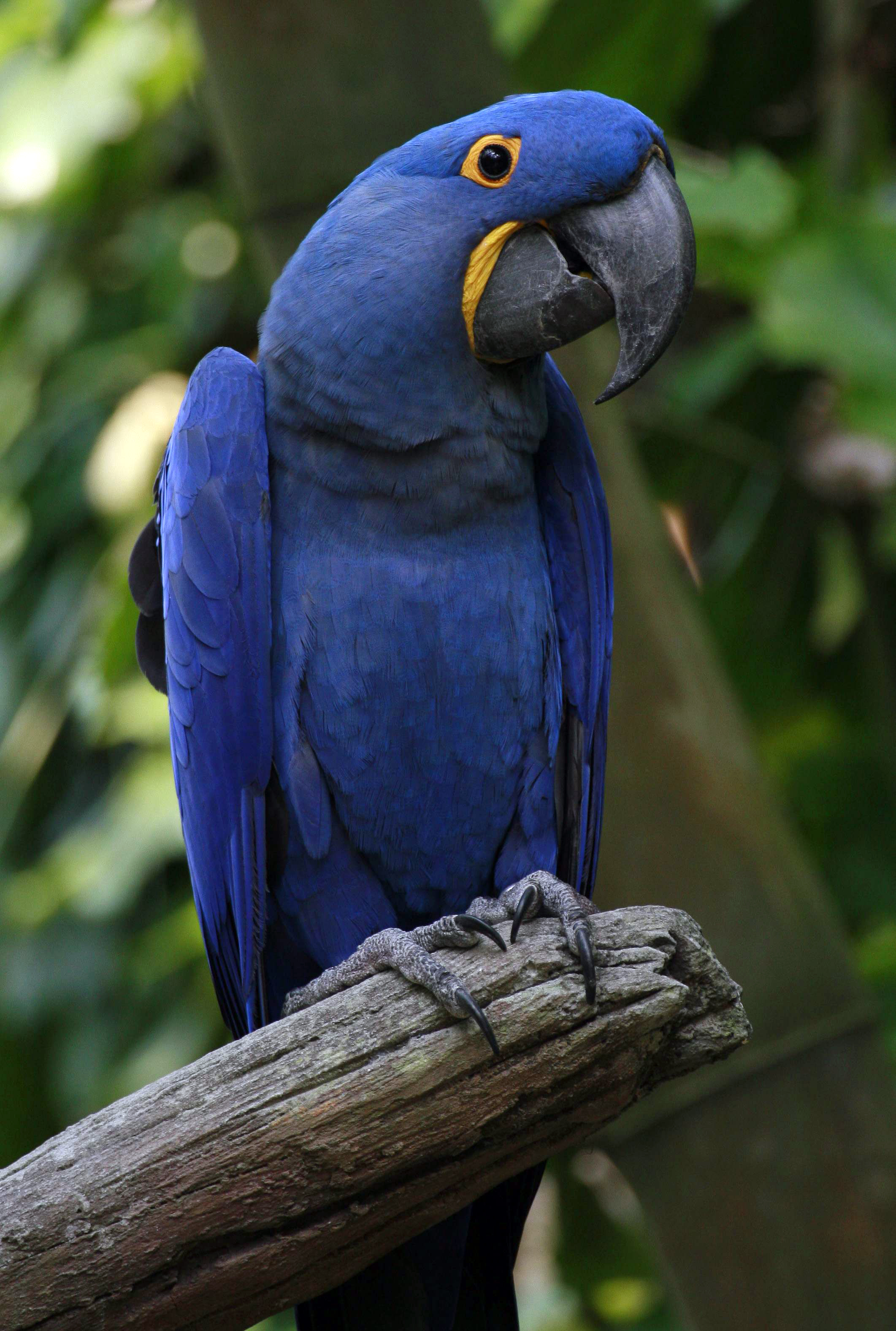
The flagship species of the Tapajós-Xingu Moist Forests ecoregion is the hyacinth macaw. Image credit: Creative Commons
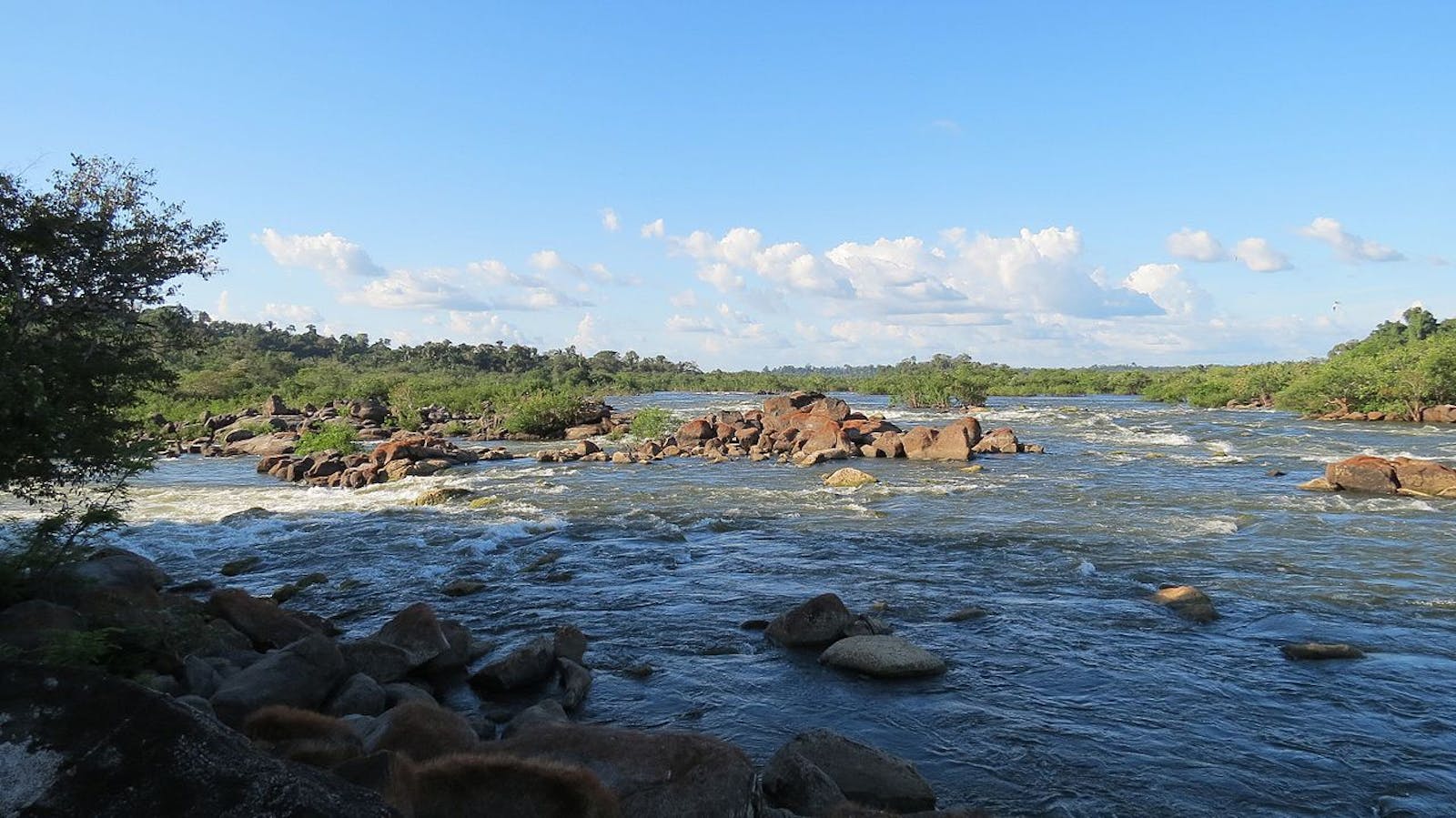
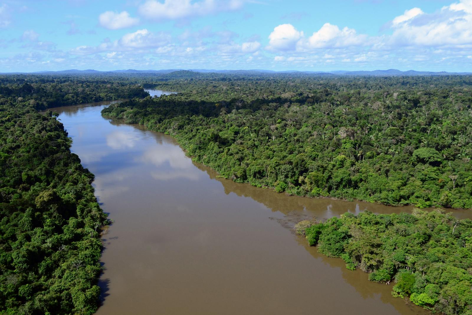
The Tapajós-Xingu Moist Forests ecoregion lies in central-eastern Brazil south of the Amazon River, comprising the interfluvial plain between the Tapajós and Xingu Rivers, both major tributaries to the Amazon River. The region mostly lies on the well-weathered Brazilian Shield, formed one billion years ago, which provides a hard crystalline basement. There are numerous smaller blackwater rivers dissecting the ecoregion. These rivers carry few or no suspended sediments, and their seasonally flooded banks create white-sand igapó forest. The elevations in this ecoregion range from 5 m on the Amazon River to 200 m in the uplands to the south. Annual rainfall in middle Xingu is 1,500–2,000 mm.
Much of the ecoregion consists of evergreen tropical rainforest. Liana forests are dominant in the higher relief of the southern portions; they are known for huge woody vines occurring throughout the strata, with the most dominant family in this ecoregion being Bignoniaceae. Characteristic trees include Brazil nut, mahogany, bagassa, ronrón, and pink trumpet.
Goatsin Opisthocomus hoazin on a tree.
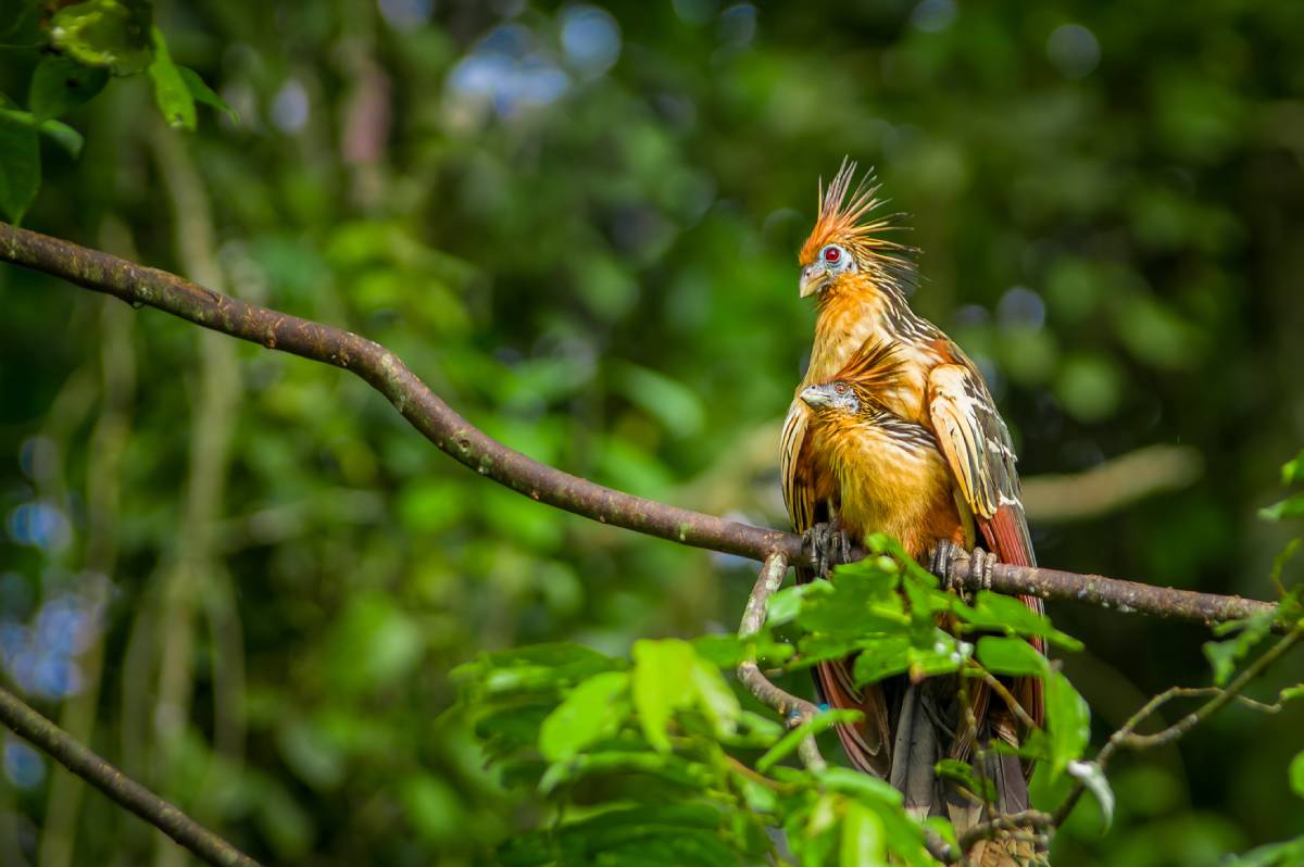
The fauna of the region includes 161 species of mammals such as white-lipped peccary, collared peccary, tapir, brocket deer, puma, and jaguar.556 species of bird have been listed including harpy eagle, toucans, ospreys, little chachalacas, hoatzin, and the vulnerable hyacinth macaw.
The Tapajós River is a barrier to the distribution of animals, plants, and insects in the ecoregion. Several species of primates such as the white-fronted capuchin and white-bearded saki only occupy distinct sides of the river. Within the rivers themselves, spectacled caiman, black caiman, yellow-spotted river turtle, manatee, and dolphins can be found.
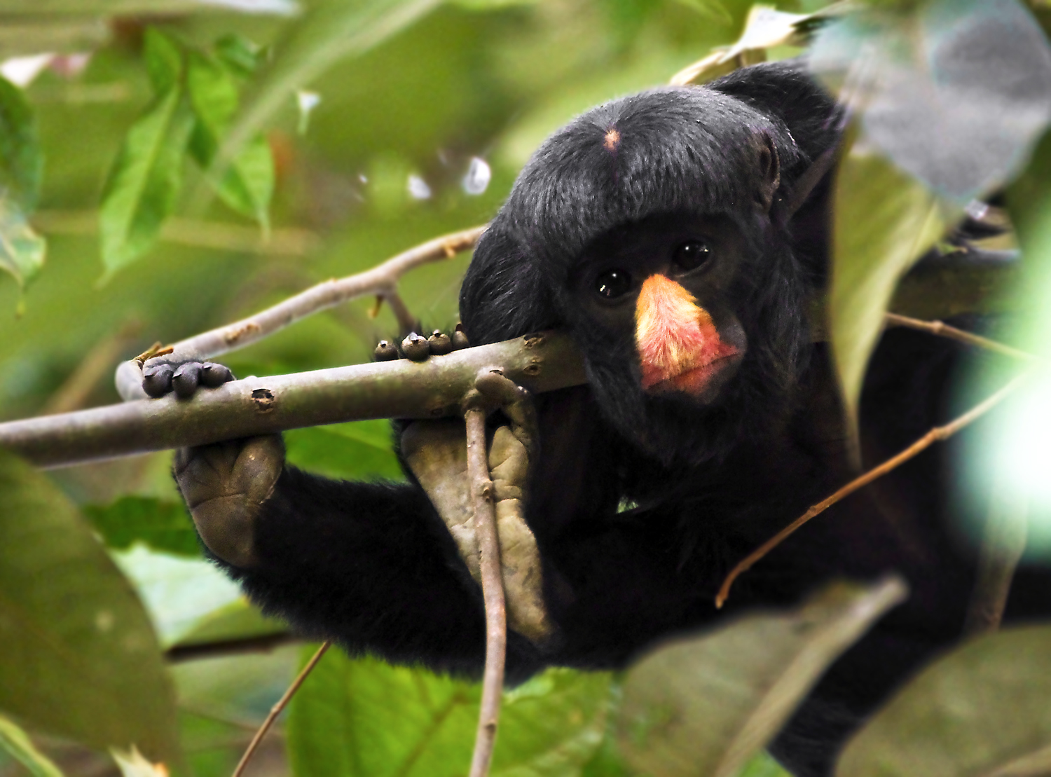
White nosed saki. Image credit: Valdir Hosbus, Creative Commons
Very few protected areas are established here. The Amazonia National Park straddles the Tapajós River near Itaituba and cover a sizable area. However, it suffers from inadequate administrative capacity. Tapajós National Forests offers little protection to the forests near Aveiro.
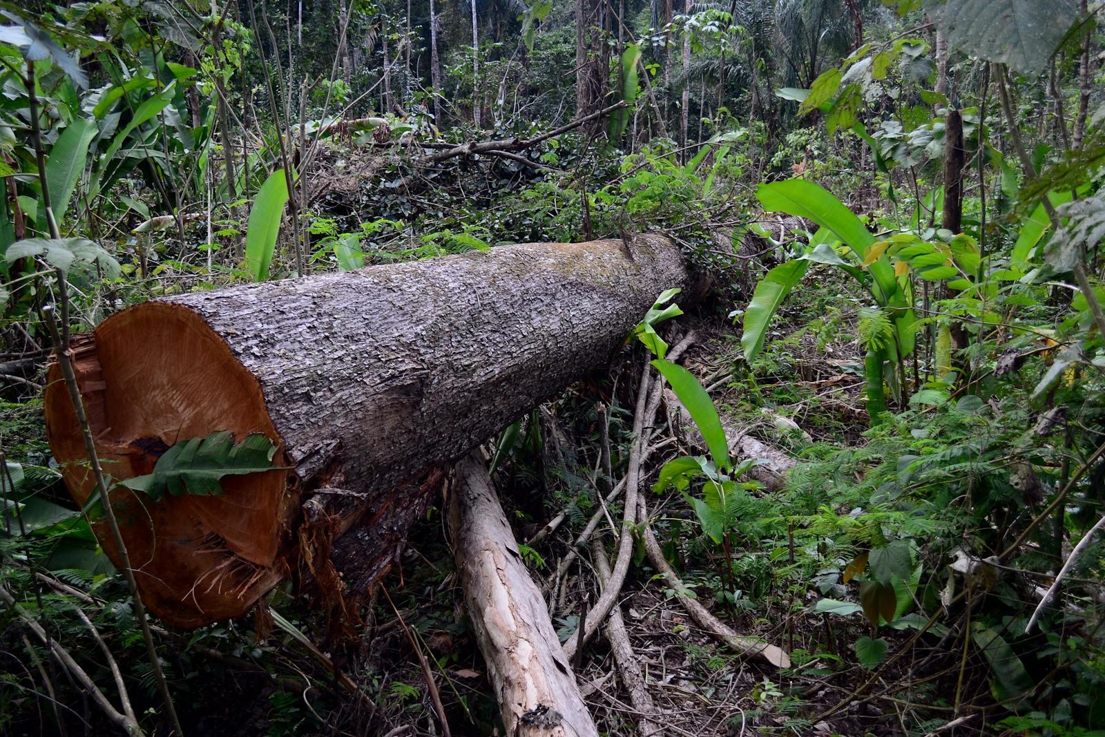
The Transamazon Highway and road south to Cuiabá traverse the Tapajós-Xingu Moist Forests region. Along these roads, settlement, logging, ranching, and large-scale development projects resulted in large-scale deforestation and land degradation. This rapid expansion of human activities with its helter-skelter development patterns represent the largest threat to the ecoregion.
Timber extraction already degraded many of the forests near the Madeira River and the highway. Mining for gold and other minerals continues to threaten aquatic life and destroy landscape elements. Large-scale human-induced fires are not uncommon and they often destroy habitat as well degrade both water and air quality.
The priority conservation actions for the next decade will be to: 1) restrict development in key wildlife areas; 2) implement environmental regulations for mining and timber industries and rehabilitate project sites; and 3) increase the funding available to and capacity of the existing protected areas.
Citations
1. Sears, R. 2019. Amazon Basin – Brazil. https://www.worldwildlife.org/ecoregions/nt0168 Accessed June 17, 2019.
2. Prance, G. T., and K. S. Brown Jr. 1987. The principle vegetation types of the Brazilian Amazon. Pages 30-31 in T. C. Whitmore and G. T. Prance, editors, Biogeography and Quaternary History in Tropical America. Oxford: Clarendon Press.
3. BirdLife International 2016. Anodorhynchus hyacinthinus. The IUCN Red List of Threatened Species 2016: e.T22685516A93077457. http://dx.doi.org/10.2305/IUCN.UK.2016-3.RLTS.T22685516A93077457.en. Accessed June 17, 2019.

Subscribe to receive monthly updates on climate solutions, environmental heroes, and the profound beauty and wonder of our shared planet Earth.
