
Northeastern American Mixed Forests bioregion
The bioregion’s land area is provided in units of 1,000 hectares. The conservation target is the combined Global Safety Net (GSN1) areas for the component ecoregions. The protection level indicates the percentage of the GSN goal that is currently protected on a scale of 0-10. N/A means data is not available at this time.
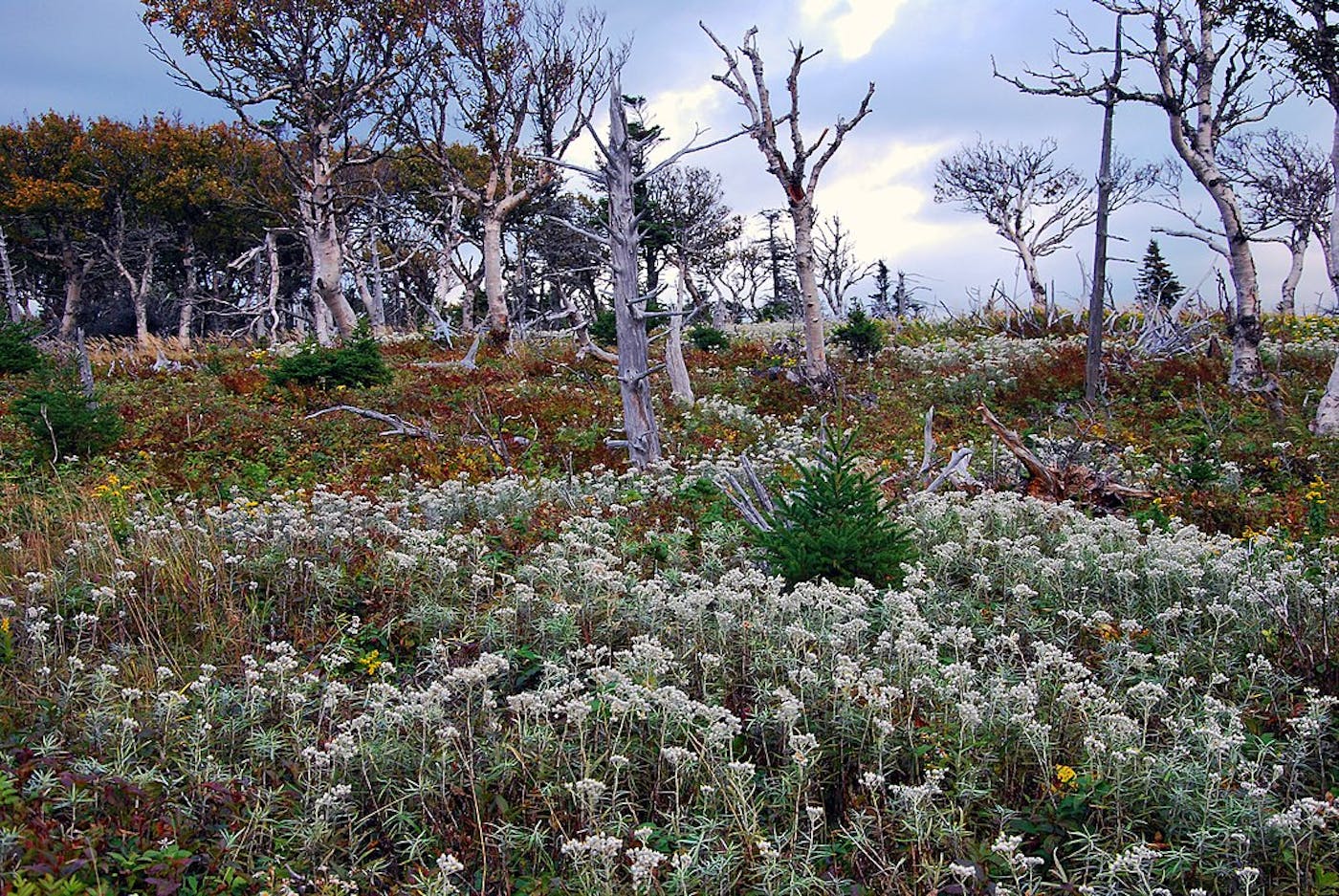
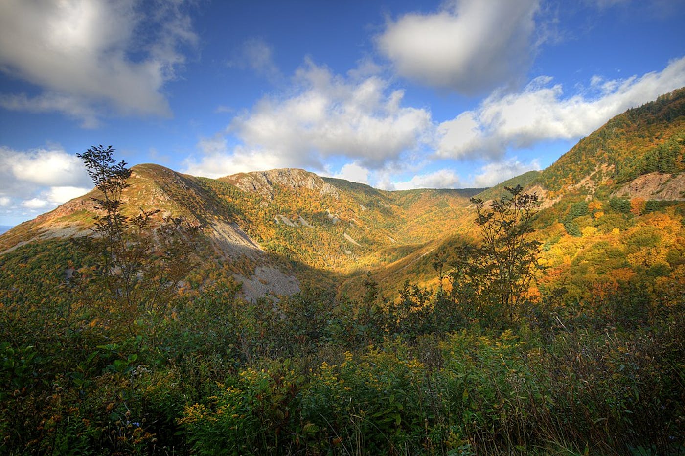
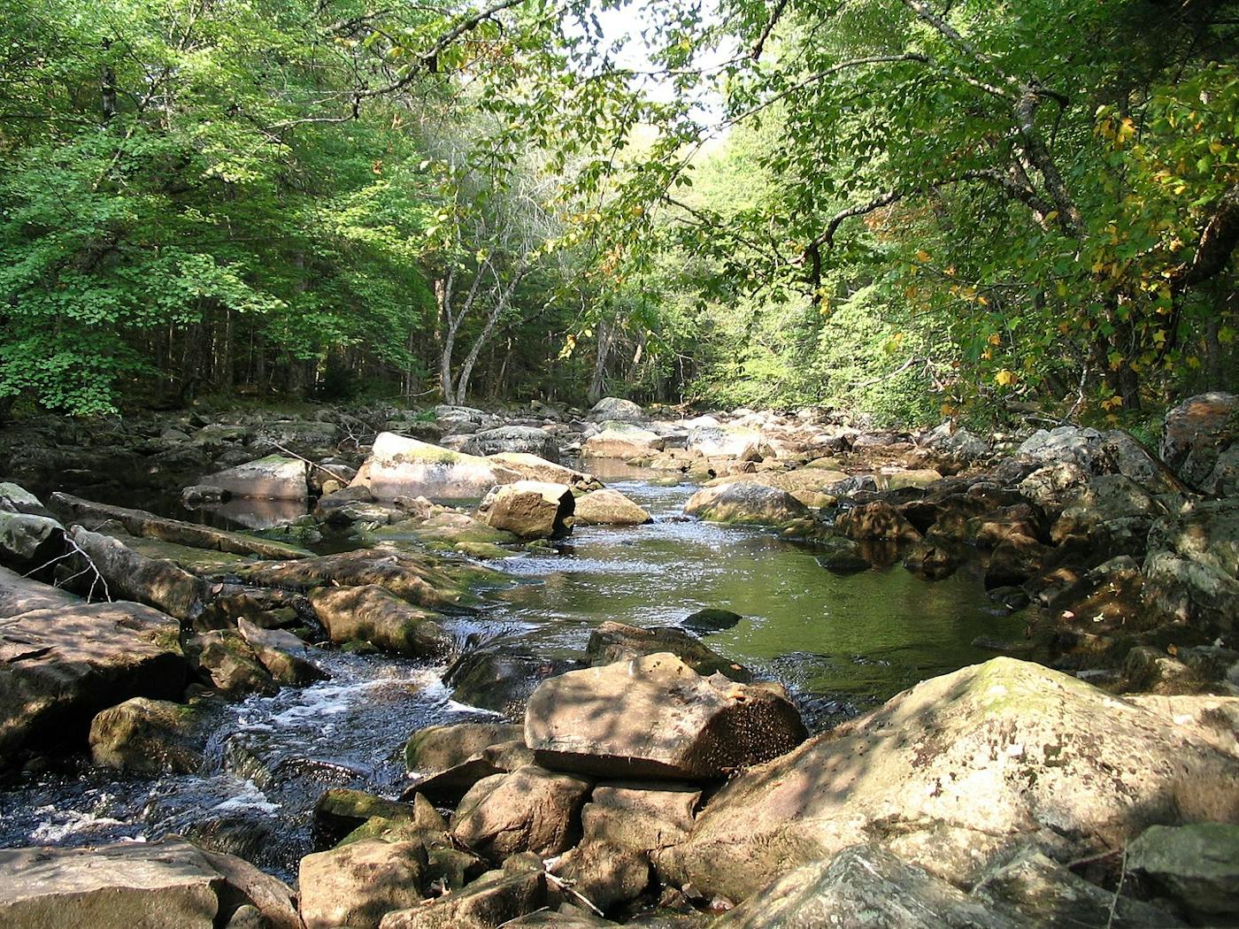
The Northeastern American bioregion, located in the Northern America (Nearctic) realm, extends from the top of New Brunswick, Canada to the Blue Ridge mountains in the mid-Atlantic region of the US. The bioregion is predominantly made up of broadleaf forests and includes three ecoregions—Gulf of St. Lawrence Lowland Forests (335), New England-Acadian Forests (338), Northeast US Coastal Forests (339)—covering most of the Northeastern Seaboard. The total land area of this bioregion is approximately 44 million hectares.
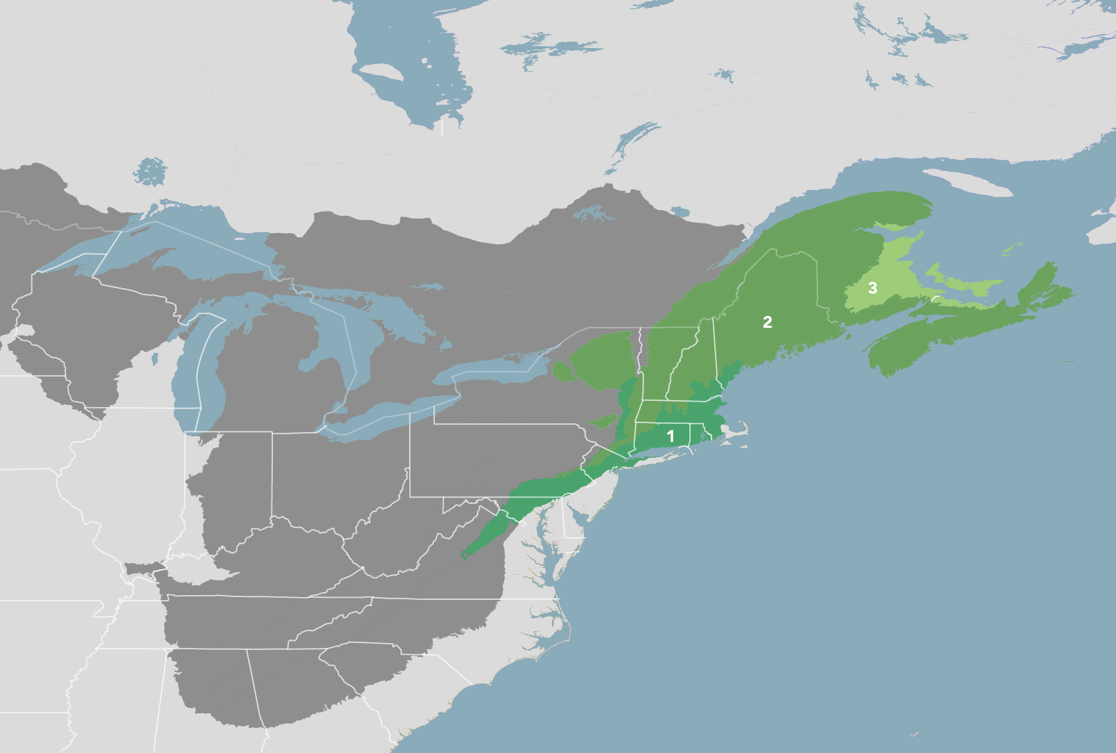
The Northeastern American Mixed Forests bioregion is part of the Northeast American Forests subrealm and is made up of three ecoregions: Northeast US Coastal Forests [1], New England-Acadian Forests [2], Gulf of St. Lawrence Lowland Forests [3].
Learn more about each of the Northeastern American Mixed Forests ecoregions below.


Subscribe to receive monthly updates on climate solutions, environmental heroes, and the profound beauty and wonder of our shared planet Earth.

Explore the Bioregions
Want to learn more about the fascinating species, diverse ecosystems, and natural wonders of the Earth? Click the button below to launch One Earth's interactive navigator and discover your Bioregion!
LAUNCH NAVIGATOR