
California Montane Chaparral and Woodlands
The ecoregion’s land area is provided in units of 1,000 hectares. The conservation target is the Global Safety Net (GSN1) area for the given ecoregion. The protection level indicates the percentage of the GSN goal that is currently protected on a scale of 0-10. N/A means data is not available at this time.
Bioregion: Greater California (NA31)
Realm: Northern America
Ecoregion Size (1000 ha):
1,989
Ecoregion ID:
424
Conservation Target:
56%
Protection Level:
5
States: United States: CA. Mexico: B.C.
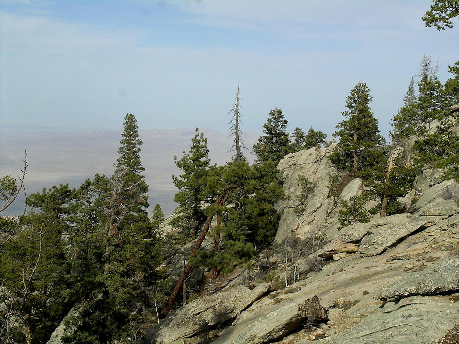
The California Montane Chaparral and Woodlands ecoregion occupies the Transverse Ranges of southern California, from north of Santa Barbara to northeast of San Bernardino, and the Peninsular Ranges, from east of San Jacinto southward to east of San Diego, as well as several disjunct blocks in northern Baja California.
Adjacent ecoregions are the California Interior Chaparral and Woodlands, Sierra Nevada Forests, and Mojave Desert to the north and northeast, the Sonoran Desert to the east, the California Coastal Sage and Chaparral to the south and west, and the Baja California Desert to the southwest and surrounding the most southern blocks.
The California Montane Chaparral and Woodlands ecoregion shares many species with the Sierra Nevada Forests ecoregion as well as with the lower-elevation Mediterranean-climate ecoregions of southern California and northern Baja California. However, it also has distinctive communities and many endemic species. Some of the mountain ranges are high, with peaks up to 3,500 m in the Transverse Ranges. Major natural communities include several types of chaparral, coastal sage scrub, pinyon-juniper woodland, oak woodlands, and several types of pine and other conifer forests, as well as subalpine to alpine communities on the high peaks.
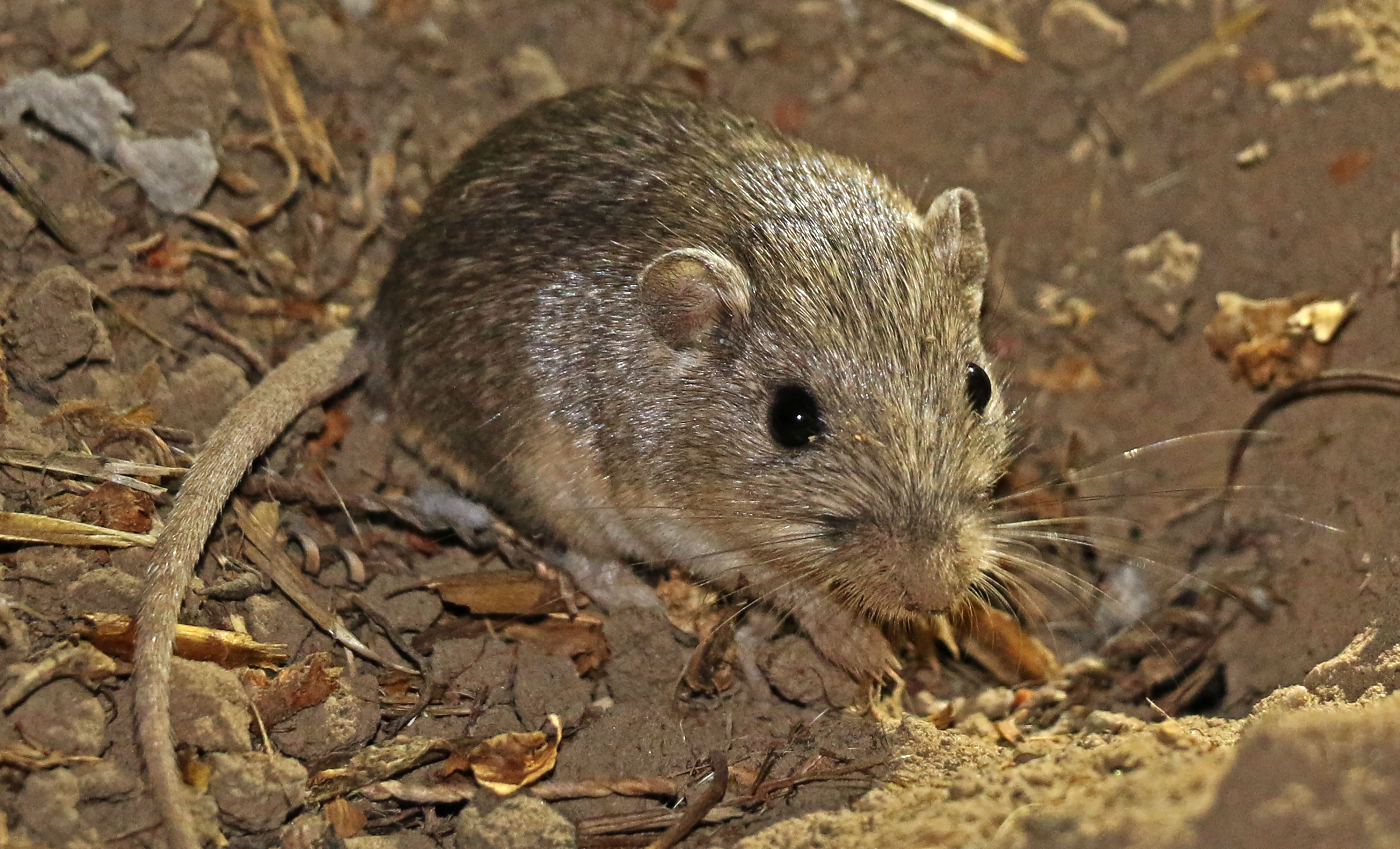
The flagship species of the California Montane Chaparral and Woodlands ecoregion is the white-eared pocket mouse. Image credit: Creative Commons
The climate of this ecoregion is Mediterranean, with warm to hot summers and mild to cool winters – generally cooler year-round than in the lower-elevation ecoregions that it borders. The daily mean temperature on Palomar Mountain, southeast of Temecula, CA, is 21ºC in July and August and 5ºC in January. The average annual precipitation there is 860 mm.
Chamise chaparral and scrub oak chaparral are dominant vegetation types at low elevations across most of the ecoregion. The southern slopes of the Transverse Ranges contain some coastal sage scrub. At higher elevations cold chaparral dominated by manzanitas is interspersed with closed-cone pine forests, Coulter pine woodlands, and woodlands dominated by bigcone Douglas-fir, endemic to southern California. Many oaks occur in the chaparral and woodlands, including canyon live oak, interior live oak, Engelmann oak, and scrub oak, as well as tanoak (not a true oak).
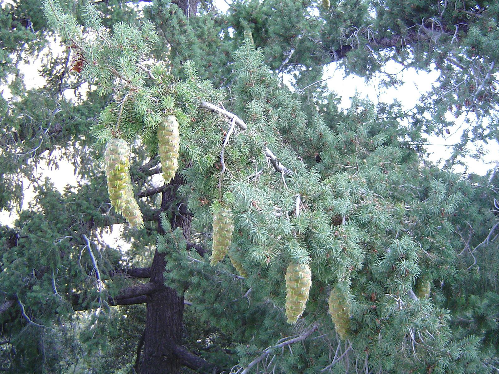
Mixed conifer forests of incense cedar, sugar pine (the world’s tallest pine species, with the longest cones of any conifer), white fir, Jeffrey pine, ponderosa pine, and juniper occur at elevations of 1,371 to 2,896 m. Above this zone are subalpine forests of limber pine, lodgepole pine, and Jeffrey pine, mixed with subalpine wet meadows, krummholz woodlands with stunted trees, and some small groves of quaking aspen.
Endemic and relic species are found largely on ecological islands of unusual substrate, such as serpentine. A near-endemic vertebrate is the white-eared pocket mouse, found only in the San Bernardino Mountains (part of the Transverse Ranges) and the Tehachapi Mountains, in the southern tip of the Sierra Nevada Forests ecoregion directly adjacent to the California Montane Chaparral and Woodlands. The western Transverse Ranges was one of the last refuges for wild California condors in California.
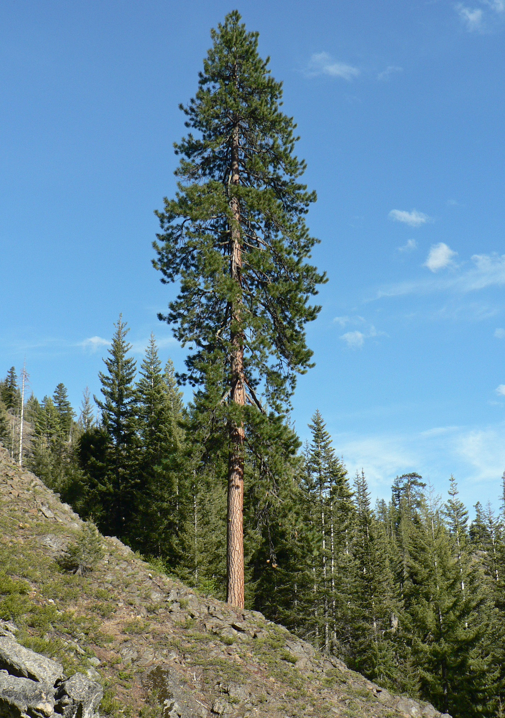
Pinus ponderosa. Image credit: Walter Siegmund, Creative Commons
Some 46% of this ecoregion is intact, including 27% inside and 19% outside protected areas. Increasing protection to close to 50% is an achievable goal, especially with restoration. Rural residential development is a major threat to this ecoregion, as are fire suppression (which increases the probability of severe fires), off-road vehicles, intensive livestock grazing, extirpation of predators, and invasions of non-native plants. Aquatic habitats have been particularly stressed.
Priority conservation actions for the next decade are: 1) expand the network of protected areas to better represent all natural communities and capture all endemic species; 2) improve management of existing protected areas by emphasizing the most imperiled species and natural communities and their threats; and 3) control or eradicate invasive non-native species.
Citations
1. Ricketts, T.H. et al. 1999. Terrestrial Ecoregions of North America: A Conservation Assessment. Island Press, Washington, D.C.
2. Keeley, J.E. 2000. Chaparral. Pages 203-253 in M.G. Barbour and W.D. Billings, eds. North American Terrestrial Vegetation, 2nd edition. Cambridge University Press, Cambridge, UK.
3. Sawyer, J.O., and T. Keeler-Wolf. 1995. A Manual of California Vegetation. California Native Plant Society, Sacramento.

Subscribe to receive monthly updates on climate solutions, environmental heroes, and the profound beauty and wonder of our shared planet Earth.
