
Catatumbo Moist Forests
The ecoregion’s land area is provided in units of 1,000 hectares. The conservation target is the Global Safety Net (GSN1) area for the given ecoregion. The protection level indicates the percentage of the GSN goal that is currently protected on a scale of 0-10. N/A means data is not available at this time.
Bioregion: Venezuelan Coast (NT23)
Realm: Southern America
Ecoregion Size (1000 ha):
2,290
Ecoregion ID:
447
Conservation Target:
71%
Protection Level:
7
States: Venezuela, Colombia
The Catatumbo Moist Forests are among the richest in floral diversity in the world, yet they remain poorly investigated. One of its most elusive inhabitants is the brown hairy dwarf porcupine. This extremely rare species is nocturnal and arboreal, meaning that it navigates the treetops at night. It does so to access the leaves, twigs, and shoots in the rainforest canopy under the cover of darkness when they feel safer. Like other porcupines, they have hairs on their back and sides evolved into the shape of needles for self-defense. They are slow moving and very difficult to see, although occasionally they can be spotted sleeping on a branch or a vine tangle.
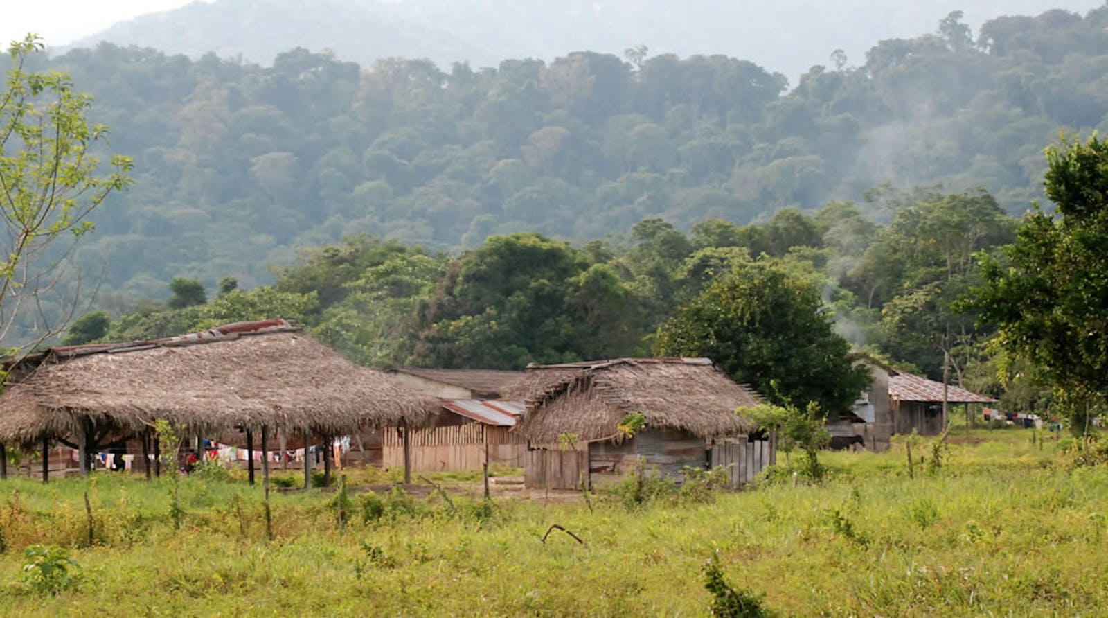
These Forests exist as four distinct regions within the Catatumbo Valley, and are comprised of isolated mountain, lowlands, Andean foothills, and valleys. In Venezuela the ecoregion is found in the states of Zulia and Lara, and in Colombia it is found in the Norte de Santander department. The forests are primarily lowland and premontane formations, and exist within a matrix of dry and mountainous habitats.
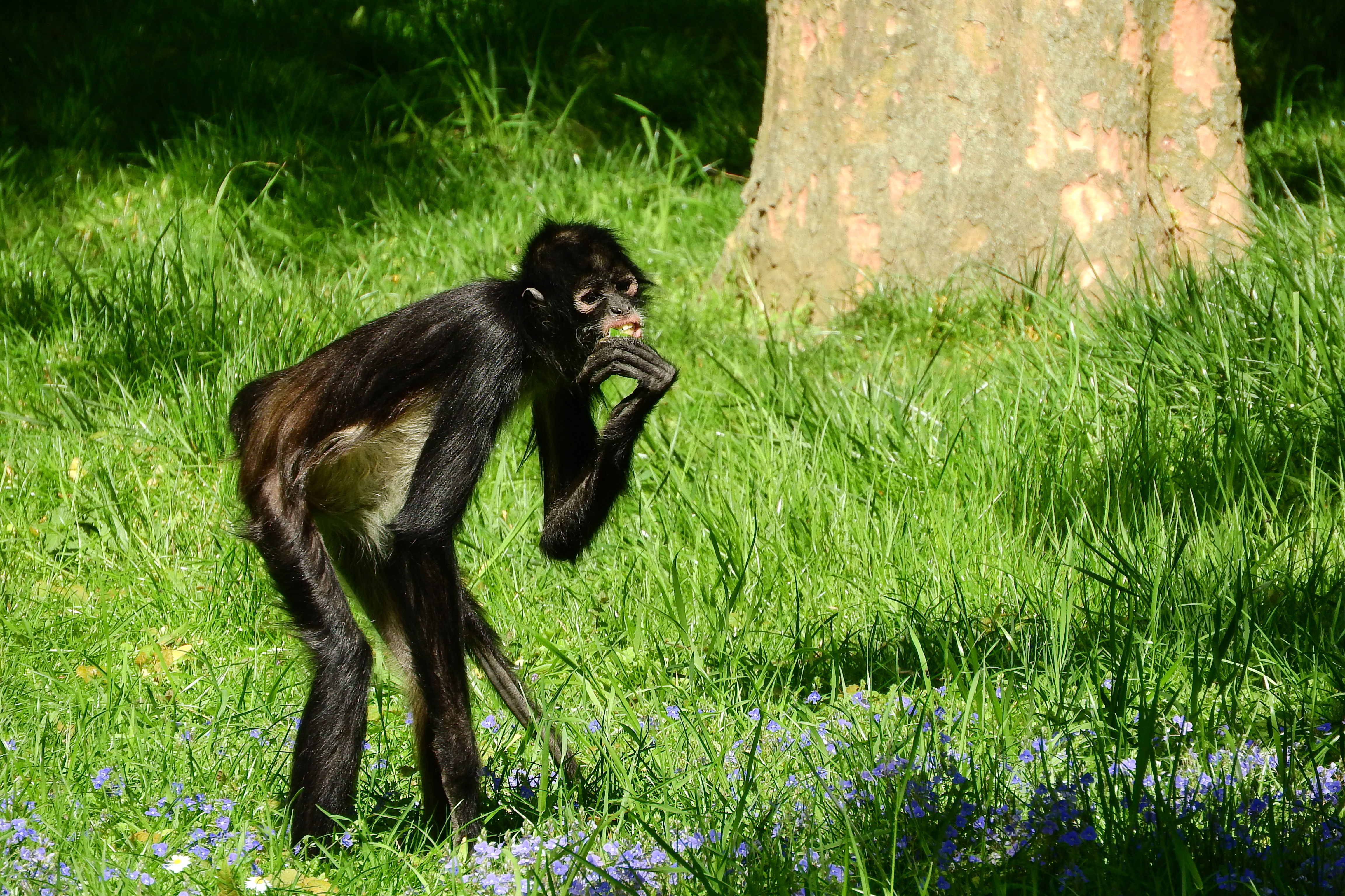
The flagship species of the Catatumbo Moist Forests ecoregion is the Geoffroy’s spider monkey. Image credit: Pixabay, Creative Commons
The largest block of land, spans the premontane and inter-Andean valley region in a "V" shape between the divergence of the Cordillera de Merida, to the northern extension of the Andes, and the Cordillera Oriental. The rivers that traverse south and west through the ecoregion are the Catatumbo, Bravo, Santa Ana, and Onia. High annual rainfall, of up to 4,300mm occurs in the southwestern edge of the Maracaibo basin due to the prevailing winds, bringing clouds, which are then trapped, in the “V” shaped cordilleras.
Considering the biological richness of the area, the existing botanical knowledge is very poor. There are many common families of flowering, woody and, legume plants, some of which include wild cashews, mahogany, tonka bean, cannonball tree, Panama trees, and mint.The moist forests located south and west of Lake Maracaibo are considered a Pleistocene refuge for woody plant families containing remnants of Amazonian flora such as Faramea capillipes.
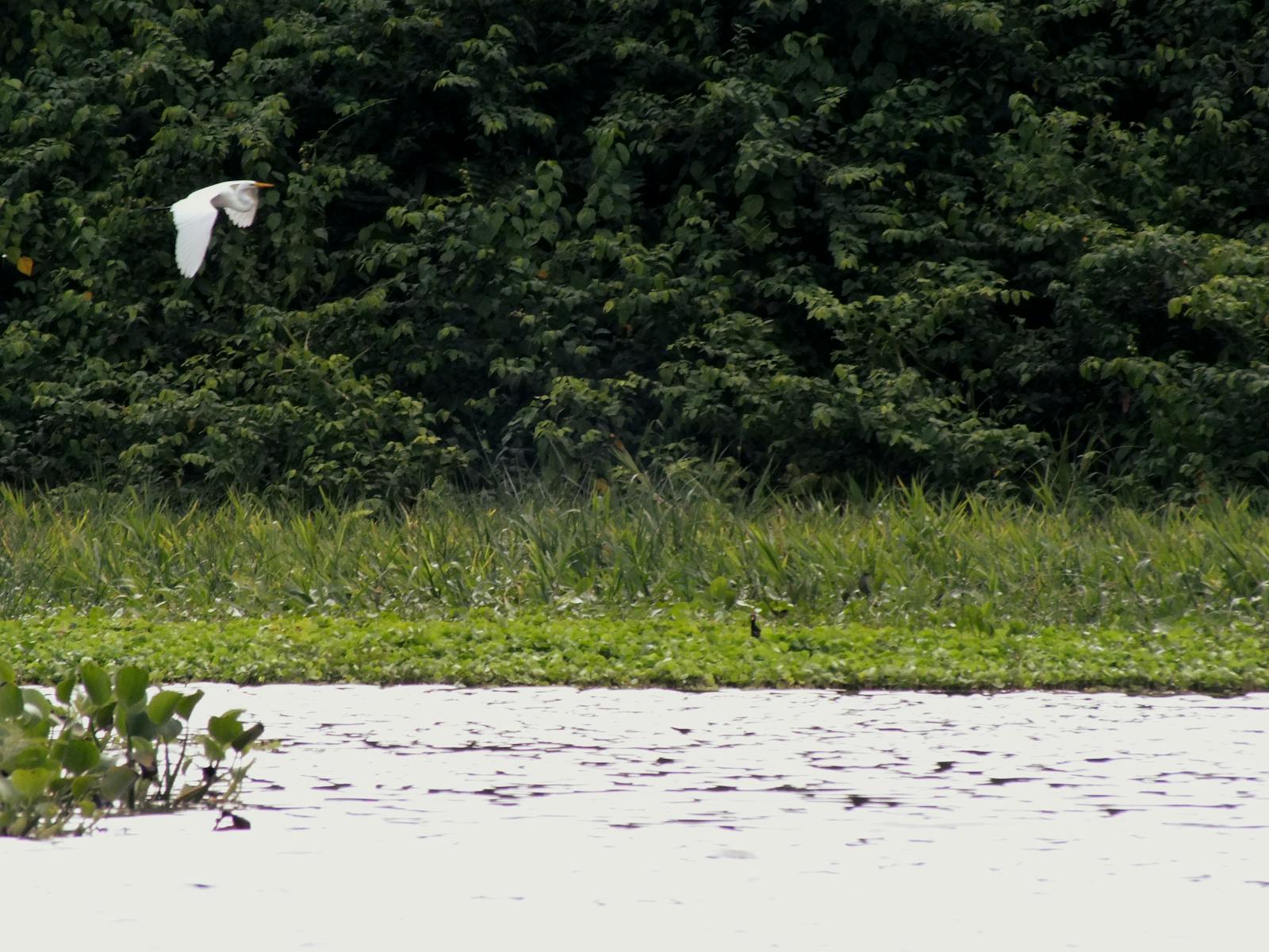
Endemic flora of the Catatumbo forests includes a species of Philodendron. In this ecoregion little is known about the fauna, but it is the potentially home to some unique species, such as the brown hairy dwarf porcupine. Unfortunately, information about endemic animals found in the ecoregion is not yet available.
Substantial areas of natural vegetation have been destroyed around Lake Maracaibo, affecting moist and dry forests. The extensive network of roads surrounding Lake Maracaibo has fragmented the area. Some areas of the ecoregion have been severely altered by livestock grazing, agriculture, and oil exploration. Deforestation for shifting cultivation has destroyed the forests along the mountain slopes.
The most degraded areas are in the southwestern side of the ecoregion, and while a proposed forest refuge might help protect some of the remaining forest fragments in that region, it may be too late. The only protected area in the ecoregion is Catatumbo Bari National Park (IUCN category II), located in the eastern section. However, most of the 1,581-km2 Park is located within the Cordillera Oriental montane forests, and little of the moist forests are protected.
This ecoregion has an endangered to critical degree of threat. Some of the major threats include progressive deforestation due to increasing development and exploitation, in addition to oil exploration. The priority conservation actions in the next decade are to: 1) reduce oil exploration in the area; 2) educate local stakeholders on the risks and impact of unsustainable land cover change; and 3) create protected areas that cover more of the moist forest of this region.
Citations
1. Locklin, Claudia. 2018. Northern South America: Northern Venezuela. https://www.worldwildlife.org/ecoregions/nt0108. 4 July 2018.
2. Emmons, L. H. 1997. Neotropical Rainforest Mammals. The University Chicago Press, Chicago.
3. UNESCO. 1981. Vegetation Map of South America: Explanatory Notes. UNESCO, Paris.

Subscribe to receive monthly updates on climate solutions, environmental heroes, and the profound beauty and wonder of our shared planet Earth.
