
Cayos Miskitos-San Andrés and Providencia Moist Forests
The ecoregion’s land area is provided in units of 1,000 hectares. The protection goal is the Global Safety Net (GSN1) area for the given ecoregion. The protection level indicates the percentage of the GSN goal that is currently protected on a scale of 0-10.
Bioregion: Central American Mixed Forests (NT25)
Realm: Central America
Ecoregion Size (1000 ha):
10
Ecoregion ID:
449
Conservation Target:
55%
Protection Level:
10
States: Nicaragua, Costa Rica, and Colombia
The endemic San Andrés vireo is a small, olive-green bird that is named after and lives on one of the three islands that comprises this tiny ecoregion. The entire species is restricted to a range of only 17 km2, although their population is stable and is estimated to be several thousand in number. Like other species in the genus, the San Andrés vireo is adaptable to humans. This vireo is a gleaner, flying from branch to branch and snatching caterpillars and other insects from leaves and twigs. During the breeding season it nest in the forest far enough away from the surrounding coastline to reduce wind and salt spray and will look for small fruits and insects to feed to its chicks.
.jpeg)
The flagship species of the Cayos Miskitos-San Andrés and Providencia Moist Forests ecoregion is the San Andrés vireo. Image credit: Adrian Braidotti, Creative Commons
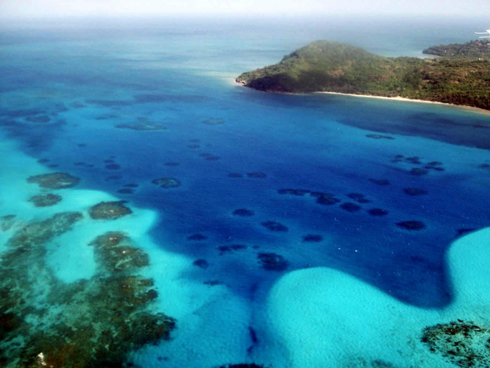
This ecoregion is formed by the moist forests of the Cayos Miskitos, San Andrés, and Providencia Islands, located 150 km east of the Nicaraguan coast (Bluefields) and 620 km northwest of Cartagena. San Andrés and Providencia Islands are Colombian territory, while Isla de Maiz and Miskito Cayos belong to Nicaragua. The topography of San Andrés is formed by a chain of hills extending the length of the island from north to south, skirted by a coastal plain. The maximum elevation is 100 m. Providencia, the second largest island, also has a central mountain chain with peaks of 350 m in elevation. The flat topography of the larger Miskitos keys is characterized by some hills no higher than 10 m.
There is a humid tropical climate in this ecoregion with average rainfall of 2,000 mm/year. Temperature is relatively constant and high, averaging 27oC throughout the year. Rainfall generally follows a pattern defined by a dry season and a rainy season, generally with two peaks of maximum rainfall. Conditions are highly influenced by the climate of the tropical Caribbean islands. Hurricanes are rare and often weak because of this ecoregion’s favourable location.
The natural primary vegetation of the ecoregion has been almost entirely destroyed. For example, in San Andrés, the forests have been replaced by cotton crops and later by coconut since the island’s settlement. Some other degraded forests are replaced by low and dense thickets that are commonly made up of Lantana spinosa, Croton spp., Randia spp., and Xylosma spp. Of the various native timber yielding tree species, only Chlorophora tinctoria and cedars are still present.
Many animal and plant species and subspecies are confined to only one island in the ecoregion. These endemic species are found here due to the insular nature of the islands. On San Andrés the three endemic bird species are the San Andrés mockingbird, San Andrés vireo, and ground dove. There are only two species of native bats on San Andrés Island: the Jamaican fruit bat and the velvety free-tailed bat. There are three snake species on San Andrés Island and of these, Coriophanes andresensis is endemic. Of the seven lizard species, the ocellated gecko is endemic.
In the Miskitos Keys, the prevalence of mangroves have led to Marine Reserve status with IUCN category I protection. The Old Providence National Park in Providencia is included in the National Park System, which protects island forests, mangroves, and some coral reefs. Habitat preservation helps to prevent the complete destruction of the remaining vegetation and to create forest land as recreational areas.
Due to deforestation associated with agriculture in San Andrés and intense cattle production in Providencia, the tropical forests which once covered most of the islands are now almost completely gone. Tourist infrastructure and overuse have also brought severe impacts on the islands. Many large hotels have been built on important habitats, where water supplies are overused and garbage and contaminated water are discarded directly in the sea. Water use is currently not sustainable and must be imported for human consumption.
The priority conservation actions for the next decade will be to: 1) prohibit further land encroachment on the small amount of remaining native forest; 2) develop and implement strategies for invasive species (current and projected); and 3) restore native forests where possible.
Citations
1. D’ambrosio, U. 2018. Central America: Islands off of the coast of Nicaragua in the Caribbean Ocean https://www.worldwildlife.org/ecoregions/nt0110 Accessed July 30, 2018.
2. Barriga T., C. Hernández, and T. Jaramillo, et al. 1985. La Isla de San Andrés. Contribuciones al conocimiento de su ecología, flora, fauna y pesca. Universidad Nacional de Colombia. Bogotá, Colombia.
3. Ledec, G., M. Pellegrini, and J. Beltran, 1995. The World Bank operational manual: Operational Policies. Critical Natural Habitats in Latin America and the Caribbean. Washington, DC.
4. BirdLife International. 2016. Vireo caribaeus. The IUCN Red List of Threatened Species 2016: e.T22705203A94005439. http://dx.doi.org/10.2305/IUCN.UK.2016-3.RLTS.T22705203A94005439.en Accessed July 30, 2018.

Subscribe to receive monthly updates on climate solutions, environmental heroes, and the profound beauty and wonder of our shared planet Earth.
