
Central Indochina Dry Forests
The ecoregion’s land area is provided in units of 1,000 hectares. The conservation target is the Global Safety Net (GSN1) area for the given ecoregion. The protection level indicates the percentage of the GSN goal that is currently protected on a scale of 0-10. N/A means data is not available at this time.
Bioregion: Indochina Mixed Forests & Peatlands (IM12)
Realm: Indomalaya
Ecoregion Size (1000 ha):
32,078
Ecoregion ID:
291
Conservation Target:
14%
Protection Level:
7
States: Thailand, Cambodia, Laos, Vietnam
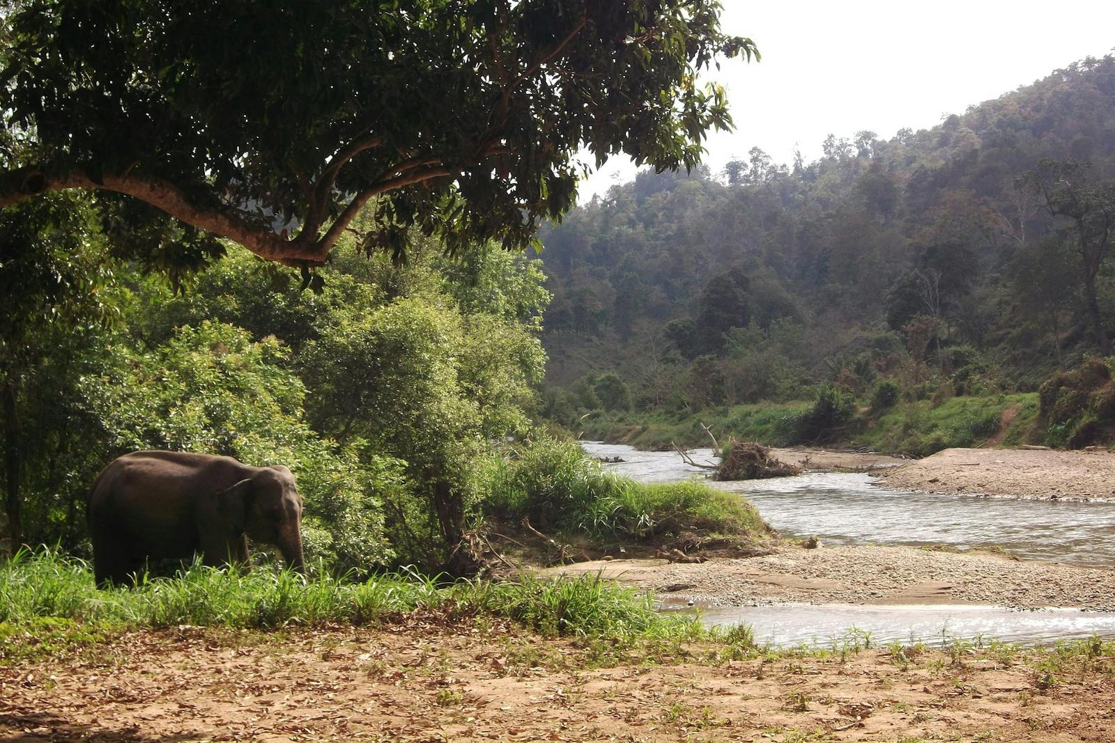
Until about the middle of the 20th Century, the dry woodland savannas of this sprawling ecoregion were reminiscent of East African savannas for the numbers of large mammals that roamed and grazed there. Mega-species such as Asian elephants, wild cattle—banteng, kouprey, gaur, wild water buffalo—and various large deer species such as Eld’s deer, Schomburgk’s deer, and sambar roamed the woodlands.
Large carnivores—tigers, clouded leopards, common leopards, and packs of wild dogs—would hunt the plentiful prey. Sadly, these scenes can no longer be witnessed, except in grainy, black and white 35 mm celluloid film from the 1950s taken by Charles Wharton during an expedition to search for the elusive kouprey.
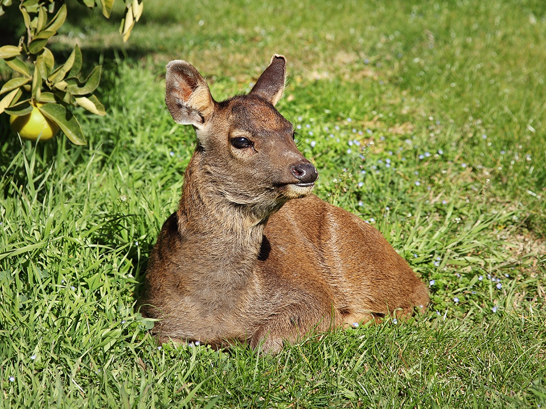
The flagship species of the Central Indochina Dry Forests ecoregion is the sambar. Image credit: Creative Commons
The Central Indochina Dry Forests ecoregion extends across Thailand, from the dry lower slopes in the north and the foothills of the Tenasserim Range to the uplands around the Chao Phraya River Basin. It then snakes across the northeast Khorat Plateau and into southern Laos and the arid plains of Cambodia.
A small area also reaches into Vietnam’s upper watersheds of the Se San and Srepok rivers. Overall, this ecoregion covers more land area in mainland Southeast Asia than any other forest type and characteristically occurs in areas with only 1,000 to 1,500 mm of rainfall during the monsoon period, punctuated by five to seven months of drought.
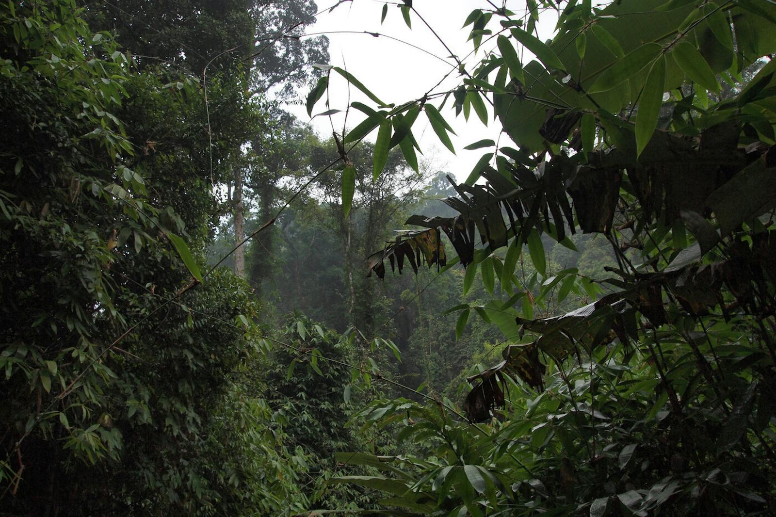
The forest association is known as a deciduous dipterocarp forest, named after the open woodlands dominated by Dipterocarpus species that shed leaves during the drought period. The forest structure consists of a low canopy, about 5 to 8 m tall, with a sparse understory dominated by grasses. Occasionally emergent trees may grow to about 10 to 12 m. Frequent ground fires maintain forest composition and structure; thus the forest association is known as a fire climax community.
Over 160 mammal species have been recorded from here. Many of the large, charismatic species populations are now fragmented and dwindled, and several species are deemed to be extinct from this ecoregion. These include two species of bear: Asiatic black bear and sun bear. The Javan rhinoceros and Sumatran rhinoceros may have once lived in this ecoregion.
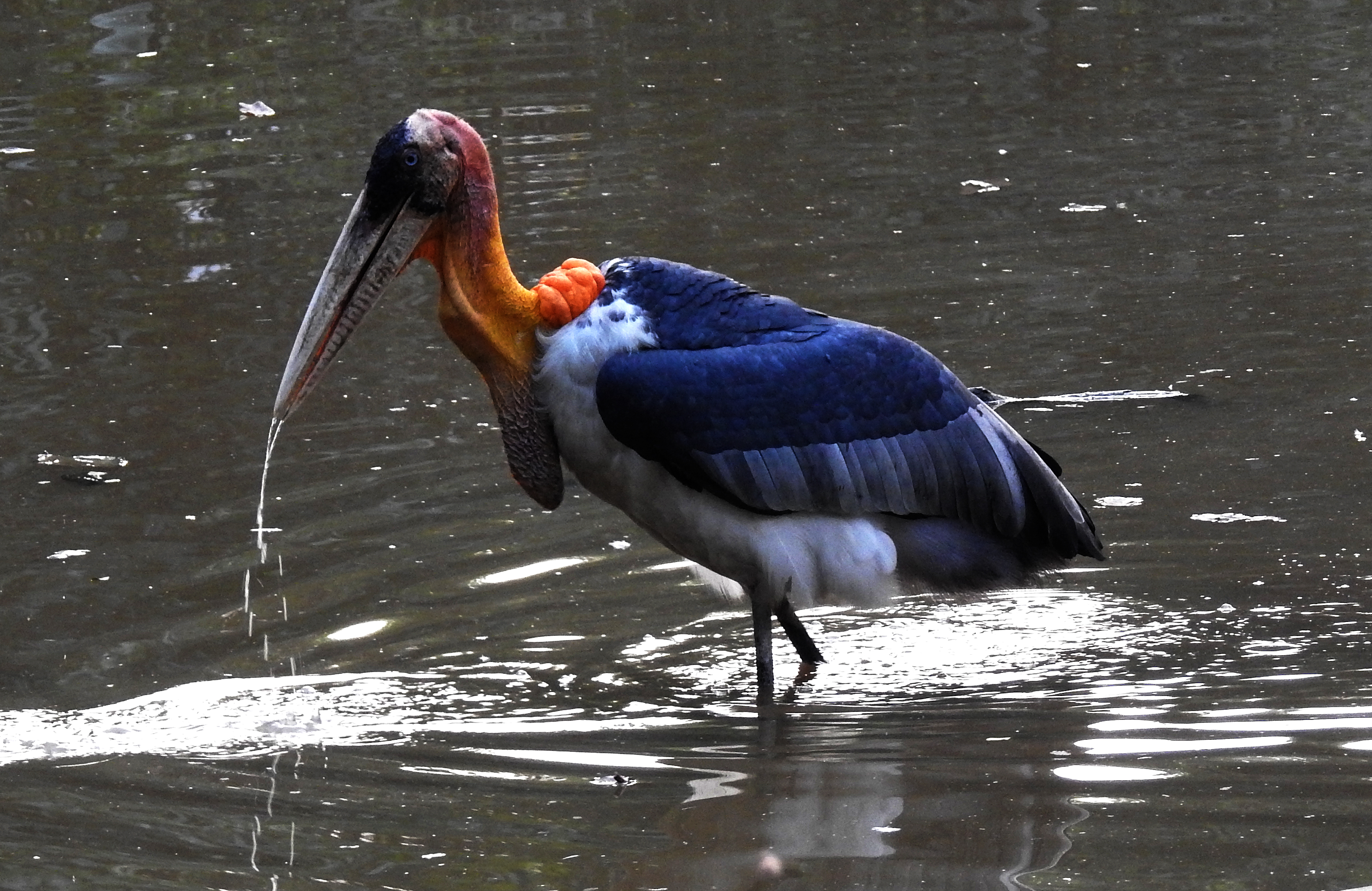
Greater adjutant. Image credit: Dr. Raju Kasambe, Creative Commons
While small, isolated populations of these rhinoceros cling to survival elsewhere in Asia, the kouprey, known as ‘forest ox’ in Khmer language and was largely restricted to this ecoregion, was last seen in 1988. It is now believed to be globally extinct. The kouprey, now the national animal of Cambodia, was about the size of a water buffalo, but with a narrow body, longer legs, a humped back, and an exaggerated dewlap in males. Females have lyre-shaped horns that spiral upwards, whereas the horns in males are wider, and arch up and outwards. In mature males, the tips of the horns have a distinct fraying. Genetic evidence is still not conclusive if this enigmatic species is a relative of wild cattle, or a feral hybrid.
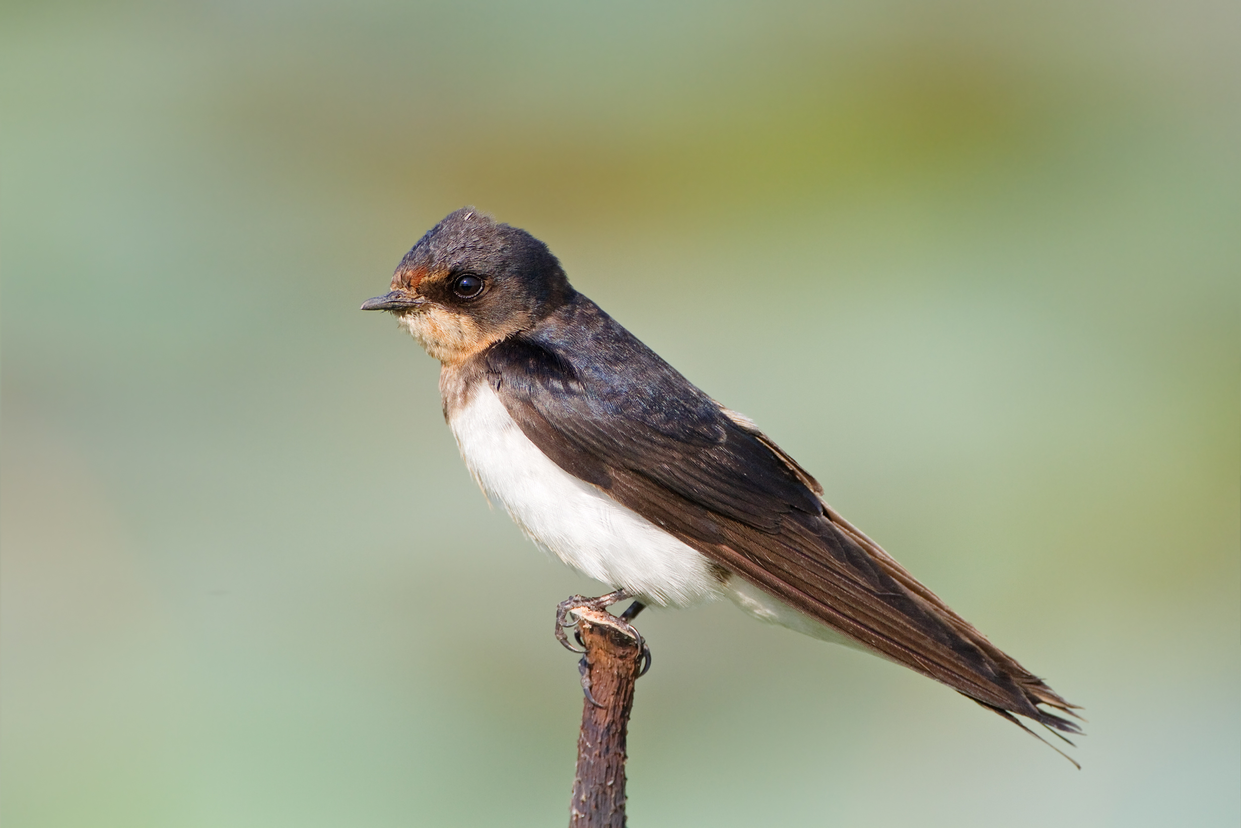
Barn swallow. Image credit: JJ Harrison, Creative Commons
Most of the forests here have been converted for human uses, except for a few large blocks in northeastern Cambodia. About 10% of the ecoregion is within the reserve system, and some are relatively large, i.e. more than 1,000 to 2,000 km2.
Because the ecoregion’s vegetation and distribution of biodiversity is relatively homogeneous, the recommended priority conservation actions are to: 1) protect and manage the existing reserves well since many are relatively large in size; 2) secure and restore corridors to connect reserves for landscape-scale conservation; and 3) implement effective anti-poaching measures to control and reduce its current rampant intensity.
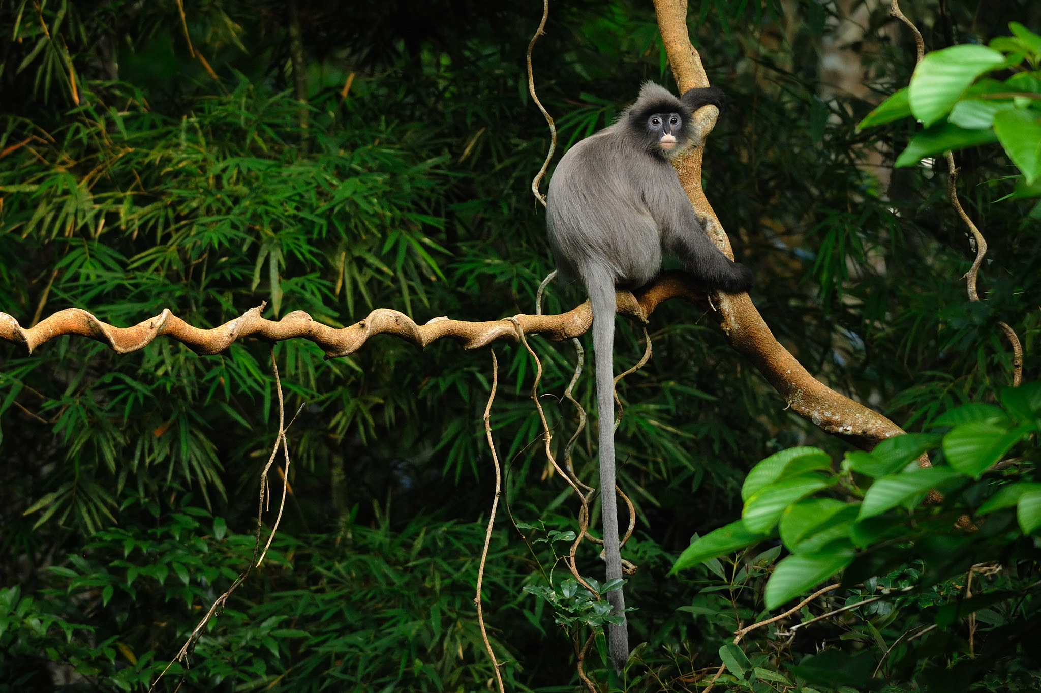
Phayre's langur. Image credit: Creative Commons
Citations
1. Wikramanayake, E, E. Dinerstein, et al. 2002. Terrestrial Ecoregions of the Indo-Pacific: A Conservation Assessment. Island Press.
2. Critical Ecosystem Partnership Fund. Ecosystem Profile. Indo-Burma Biodiversity Hotspot. 2011 Update. Oct 2012. https://www.cepf.net/Documents/final.indoburma_indochina.ep.pdf Accessed 15 December 2017
3. WWF. 2009. Forests of the Lower Mekong. Final Closeout Report. October 1, 1999 – September 30, 2009. The Global Conservation Program. Achievements and lessons learned from 10 years of support for threats-based conservation at a landscape and seascape scale. World Wildlife Fund.

Subscribe to receive monthly updates on climate solutions, environmental heroes, and the profound beauty and wonder of our shared planet Earth.
