
Eastern Canadian Temperate-Boreal Forest Transition
The ecoregion’s land area is provided in units of 1,000 hectares. The conservation target is the Global Safety Net (GSN1) area for the given ecoregion. The protection level indicates the percentage of the GSN goal that is currently protected on a scale of 0-10. N/A means data is not available at this time.
Bioregion: Northern Great Lakes Forests (NA11)
Realm: Northern America
Ecoregion Size (1000 ha):
31,872
Ecoregion ID:
333
Conservation Target:
73%
Protection Level:
1
States: Canada: ON, QC
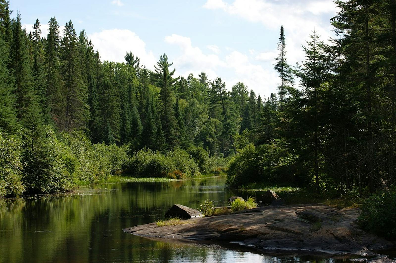
The Eastern Canadian Temperate-Boreal Forest Transition ecoregion encompasses the southern portion of the Canadian (Precambrian) Shield in Ontario and Quebec, with the southern boundary of the Shield defining the southern border of this ecoregion. The Canadian Shield is a huge mass of exposed Precambrian igneous and metamorphic rocks (especially granitic gneisses), the ancient geological core of the North American continent. Different portions of the Shield date from 2.5 to 4.2 billion years ago.
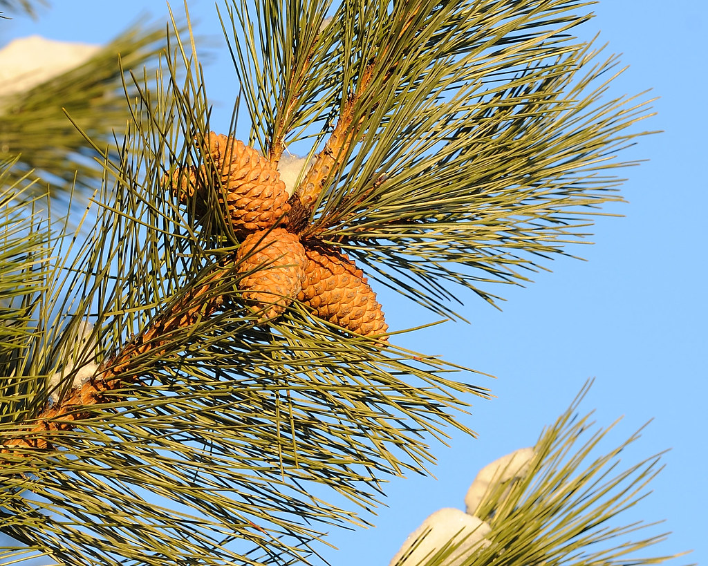
The flagship species of the Eastern Canadian Temperate-Boreal Forest Transition ecoregion is the red pine. Image credit: Creative Commons
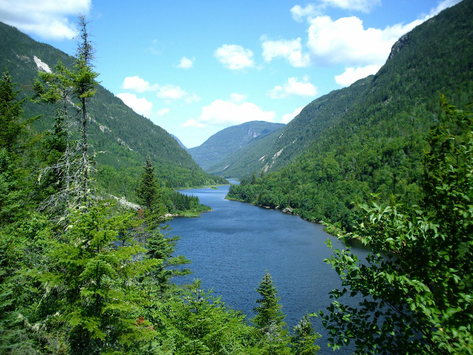
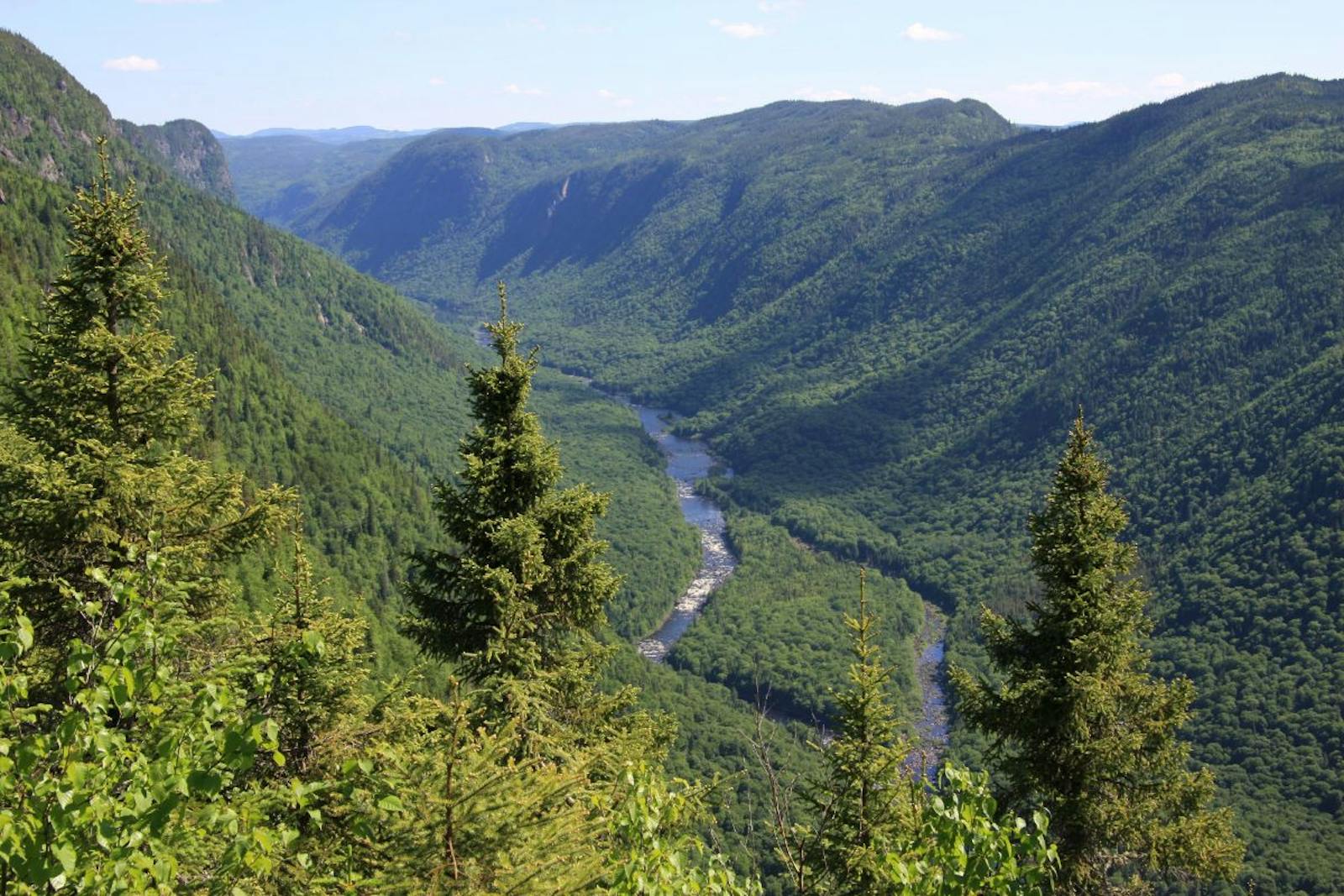
The Laurentian Mountains of southern Quebec, rising to 1,166 m, are one of the oldest mountain ranges on Earth. This mostly hilly ecoregion is distinguished by its many rivers and lakes. These are young watersheds, forming after the last (Wisconsin) glaciation, which covered this entire ecoregion and peaked only 20,000 years ago. Post-glacial rebound (a rise in the land surface after retreat of the heavy ice sheets) contributes to the dynamic nature of these young watersheds. Post-glacial rebound is still occurring today at variable rates, but up to one meter or more per century, and is predicted to continue for thousands of years.
The cold temperate to boreal climate of this ecoregion is characterized by warm summers and cold, snowy winters, with the heaviest snowfall (greater than one meter annually) along the shores of Lake Superior and Georgian Bay of Lake Huron, and between Quebec City and the Saguenay River. This ecoregion is truly transitional in vegetation between temperate and boreal forest, with local plant communities that resemble either one or the other or some mix of the two. Primarily deciduous hardwood forests dominate the southern portion of the ecoregion and coniferous boreal (mostly spruce-fir) forest dominates the north.
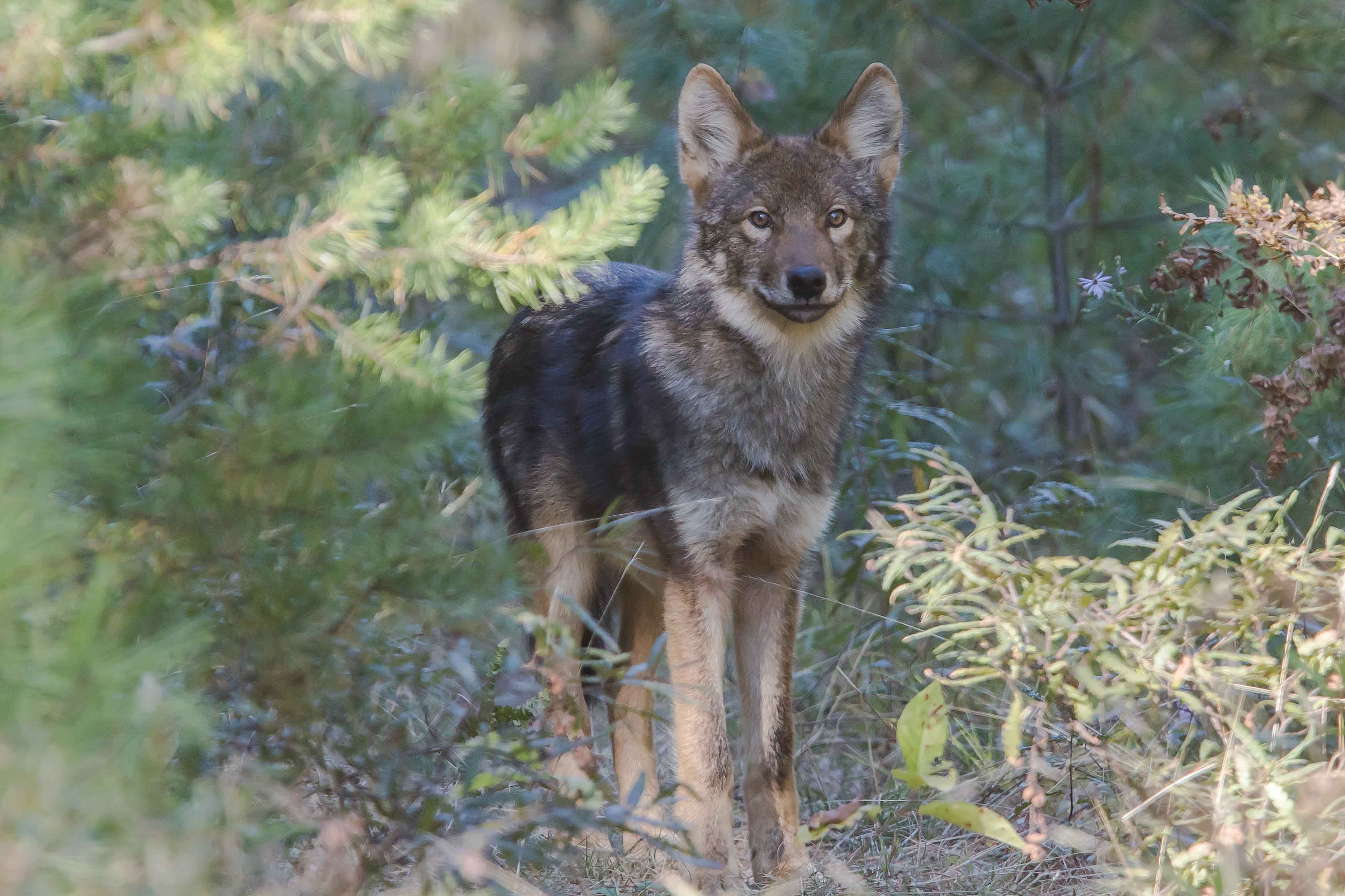
Eastern wolf. Image credit: Michael Runtz, Creative Commons
Mixed forests are most characteristic of the region as a whole. In Algonquin Provincial Park in Ontario, in the southern portion of the ecoregion, the mixed forest includes sugar maple, yellow birch, eastern hemlock, and white pine, with beech on warmer sites. White spruce and balsam fir represent the boreal element in this ecoregion, with tamarack and arbor vitae (northern white cedar) on poorly drained sites, plus black spruce in the north and red maple and black ash in the Algonquin area. Wetlands, including many beaver ponds, are common throughout the region, particularly in association with rivers. Red and jack pine occur on drier sites.
Early successional forests are typically dominated by paper birch and quaking aspen. Fire is an important part of the natural disturbance regime, especially in the north, with individual fires sometimes on the scale of 1,000 km2. Red pine stands are adapted to frequent surface fires and infrequent stand-replacing fires.
Mammals include moose, white-tailed deer, beaver, snowshoe hare, lynx, eastern timber wolf, black bear, and an apparently increasing population of cougar. The diversity of breeding bird species is among the highest on the continent.
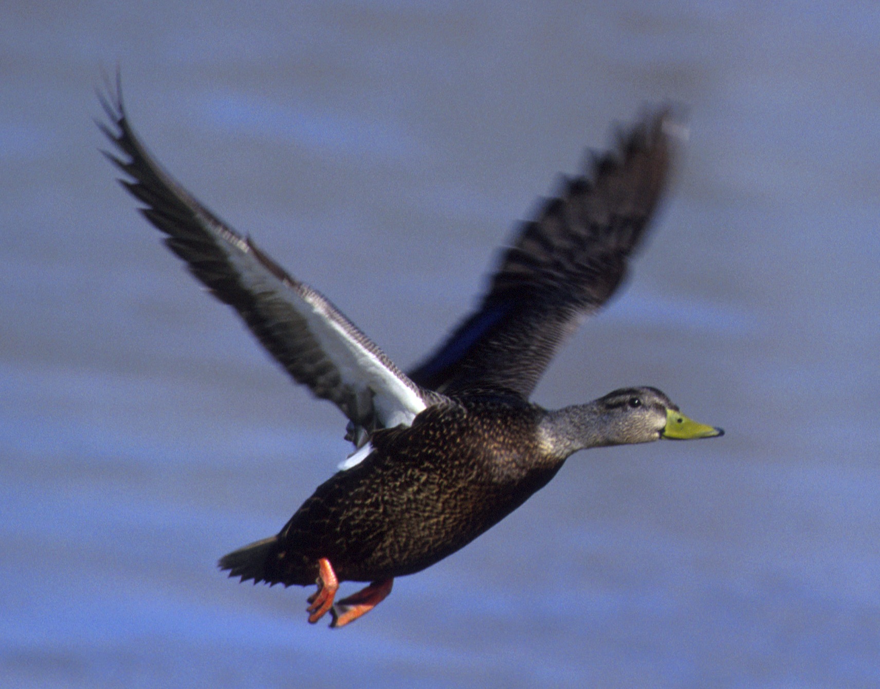
Black duck. Image credit: USFWS, Creative Commons
The Eastern Canadian Forest-Boreal Transition ecoregion has 8% of its area protected, with 62% of natural habitat remaining outside protected areas, but only around 10% of the vegetation is considered highly intact due to the impacts of logging, settlements, summer homes and cottages, ski resorts, and agriculture. Summer cottages on lakes have expanded near-exponentially in recent decades, turning wildland into suburbs (in summer, at least). Still, most of the ecoregion remains wildland.
Priority conservation actions for the next decade are to: 1) protect remaining intact blocks of natural vegetation, roadless areas, old growth, and undeveloped rivers and lakes, for example by preventing additional summer cottage development; 2) greatly increase federal, provincial, and local acquisition of conservation lands; and 3) improve management of existing conservation lands, especially with respect to fire and carnivores (wolves, bears, lynx, and cougar).
Citations
1. Ricketts, T.H. et al. 1999. Terrestrial Ecoregions of North America: A Conservation Assessment. Island Press, Washington, D.C.
2. Braun, E.L. 1950. Deciduous Forests of Eastern North America. Blackburn Press, Caldwell, NJ.
3. Delcourt, H.R., and P.SA. Delcourt. 2000. Eastern deciduous forests. In M.G. Barbour and W.D. Billings, editors. North American Terrestrial Vegetation, 2nd edition. Cambridge University Press, Cambridge, U.K.

Subscribe to receive monthly updates on climate solutions, environmental heroes, and the profound beauty and wonder of our shared planet Earth.
