
Ecuadorian Dry Forests
The ecoregion’s land area is provided in units of 1,000 hectares. The conservation target is the Global Safety Net (GSN1) area for the given ecoregion. The protection level indicates the percentage of the GSN goal that is currently protected on a scale of 0-10. N/A means data is not available at this time.
Bioregion: Ecuadorean Dry Coastal Forests & Flooded Grasslands (NT10)
Realm: Southern America
Ecoregion Size (1000 ha):
2,133
Ecoregion ID:
531
Conservation Target:
32%
Protection Level:
1
States: Ecuador
The endangered pale-headed brush-finch is endemic to Ecuador, where its populations are now restricted to two small areas in and around this dry forests ecoregion. During the short rainy season every year these little birds take advantage of the abundance of insects, fruits, and flowers to stock up for the lean dry season when they are restricted to dried fruits and seeds.
The pale-headed brush-finch is an easy target for the nest-parasitic shiny cowbirds, which lay eggs in the brush-finch’s nests—often removing the brush-finch’s own eggs and also causing the chicks to starve. While this is a naturally evolved behavior, the removal of natural forest cover has assisted the spread of cowbirds into previously intact habitats and threatened the reproductive success of range-restricted species including the pale-headed brush-finch. Conservation effort to removal cowbirds around the breeding sites of pale-headed brush-finches has successfully led to population increase.
.jpg)
The flagship species of the Ecuadorian Dry Forests ecoregion is the pale-headed brush-finch. Image credit: Creative Commons
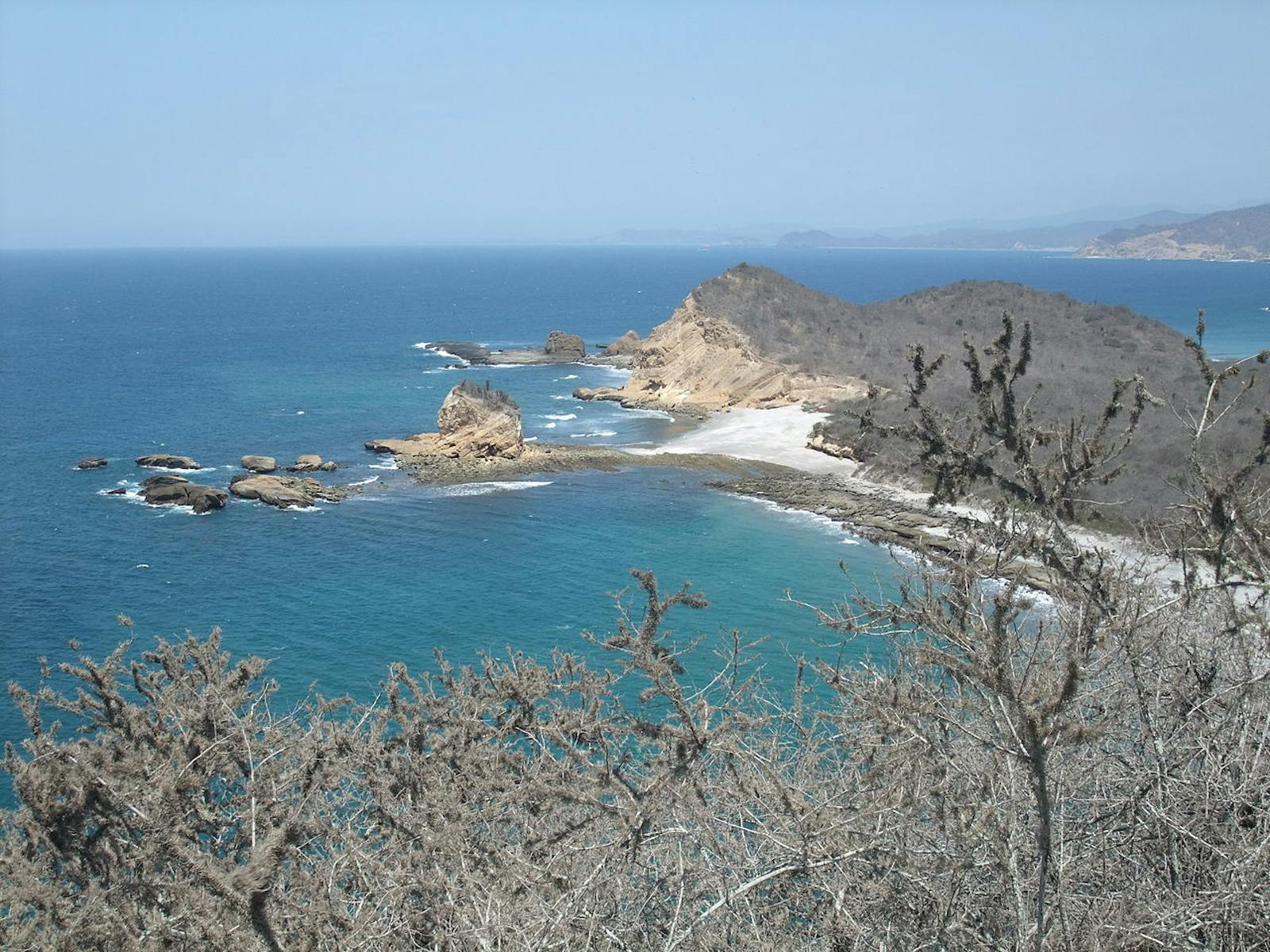
The Ecuadorian Dry Forests ecoregion extends along the Pacific Coast southward from southern Esmeraldas province in northern Ecuador into the Guayas province, ending at the Golfo de Guayaquil. The ecoregion also encompasses two outlying areas: one lies east of the mouth of the Guayas River bordering the flooded grasslands near the foothills of the Andes Mountains, and another on Puná Island in the Golfo. Surprisingly, this dry forest is bordered by a moist forest ecoregion. The region is characterized by lowlands with elevations of less than 300 m, although some parts of the ecoregion reach elevations above 800 m.
Average precipitation ranges from 300 to 1,500 mm per year, with great fluctuations between years. the climate of this zone is directly related to the presence of the cold Humboldt current and the warm El Niño and Panama currents. At low elevations the mean annual temperature varies between 24 and 26°C. Soils consist primarily of volcanic material mixed with small amounts of marine strata. Some endemic species of vegetation specific to this ecoregion include: Prosopis juliflora (a type of mesquite), yellow cordia, old fustic, palo santo, and the vulnerable Pradosia montana. Endemic cacti include Monvillea diffusa and prickly pear species. Trees in the region prized for lumber include golden trumpet, laurel, ebony, and cedar species. Other valuable species include Ecuadorian ivory palm.
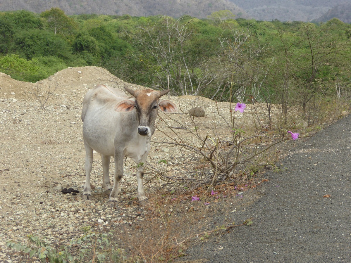
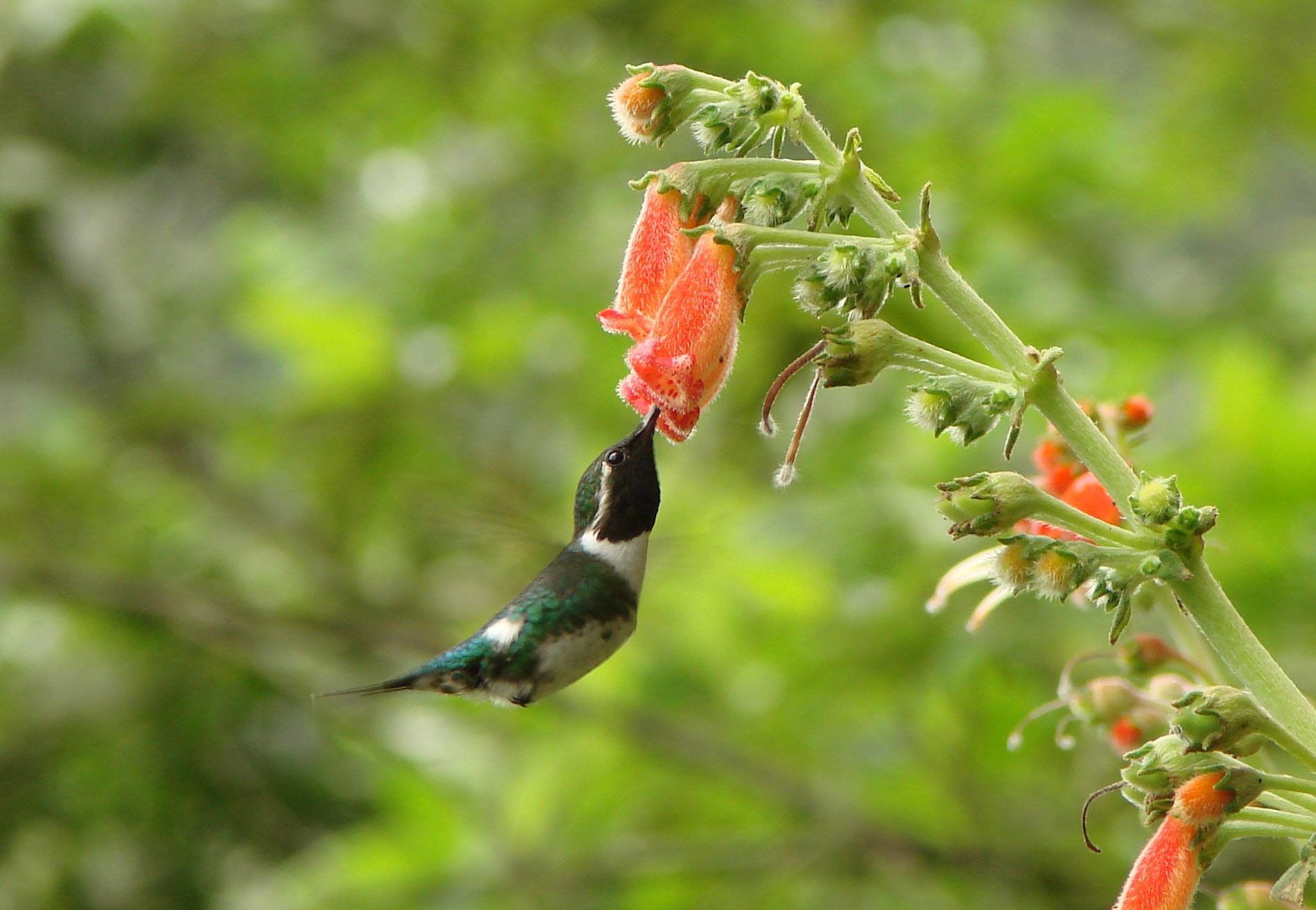
Approximately 180 tree species have been recorded in the ecoregion and it is estimated that about 19% of the vegetation is endemic to western Ecuador. There are 77 species of bird endemic to the ecoregion, including the endangered pale-headed brush finch. Other notable birds include the endangered salty becard, the vulnerable saffron siskin, and the vulnerable Ochre-bellied dove. Characteristic mammals of the ecoregion include mantled howler monkey, white fronted capuchin, jaguar, ocelot, margay, white-lipped peccary, white tailed deer, red brocket, spotted paca, and Central American agouti.
Agua Blanca. Image credit: Creative Commons
Primarily due to agricultural expansion in western Ecuador, the dry forest has been reduced to about 30% original coverage. Principle protected areas include the Machalilla National Park, the Cerro Blanco Protective Forest, the Molleturo Protective Forest, and the Arenillas Military Reserve. Despite the existence of these protected areas, actual results have been inadequate and ineffective. The fragmentation of the ecoregion indicates the need for corridors to connect isolated zones and ensure the viability of existing populations.
Forestry operations and over-grazing represent the major threats to this ecoregion, even in protected areas. Unsuitable exploitation, primarily involving the selective extraction of fine woods for sale, the slashing and burning of large areas for agriculture, and planting crops on hillsides hampering soil retention make up some of the principal causes of deforestation.
The priority conservation actions for the next decade are to: 1) integrate biological corridors in between remaining patches and protected areas; 2) educate and promote sustainable grazing and agricultural practices; and 3) develop and implement sustainable forestry extraction management practices.
Esmeraldas woodstar. Image credit: Bert Harris, Creative Commons
Citations
1. Baquero, A. 2018. Western South America: Along the Pacific coast of Ecuador https://www.worldwildlife.org/ecoregions/nt0214 Accessed October 4, 2018
2. Parker, T.A. and J.L Carr (editors). 1992. Status of Forests Remnants in the Cordillera de la Costa and Adjacent Areas of Southwestern Ecuador. Rapid Assessment Program, Conservation International
3. Dodson C.A. and A. Gentry. 1993. Extinción biológica en el Ecuador occidental, In P.A Mena and L. Suárez (editors), La Investigación para la Conservación de la Diversidad Biológica en el Ecuador. EcoCiencia. Quito.
4. BirdLife International. 2016. Atlapetes pallidiceps. The IUCN Red List of Threatened Species 2016: e.T22721487A94713203. http://dx.doi.org/10.2305/IUCN.UK.2016 3.RLTS.T22721487A94713203.en. Accessed October 4, 2018

Subscribe to receive monthly updates on climate solutions, environmental heroes, and the profound beauty and wonder of our shared planet Earth.
