
Lower Gangetic Plains Moist Deciduous Forests
The ecoregion’s land area is provided in units of 1,000 hectares. The conservation target is the Global Safety Net (GSN1) area for the given ecoregion. The protection level indicates the percentage of the GSN goal that is currently protected on a scale of 0-10. N/A means data is not available at this time.
Bioregion: North Indian Tropical Forests & Sundarbans (IM6)
Realm: Indomalaya
Ecoregion Size (1000 ha):
25,462
Ecoregion ID:
238
Conservation Target:
5%
Protection Level:
4
States: Bangladesh, India
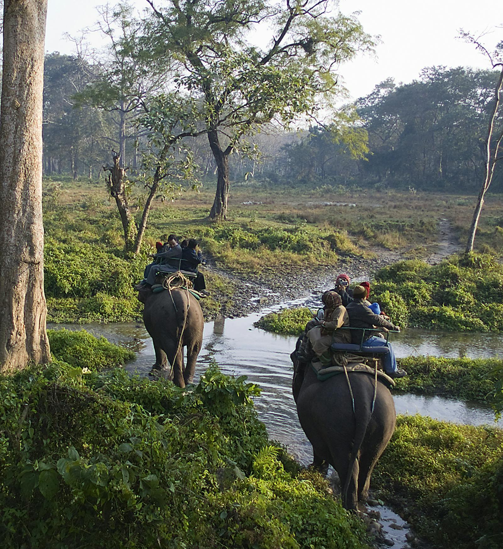
The Lower Gangetic Plains Moist Deciduous Forests had once been a region of biological superlatives: a highly fertile floodplain enriched with alluvial mud and silt brought down from the Himalaya and deposited across the plains to create habitat for some of Asia’s largest, most charismatic wildlife. The ecoregion was home to large herds of Asian elephants, tigers, greater one-horned rhinoceros, Indian bison or gaur, wild water buffalos, swamp deer, and sloth bears. Globally threatened birds such as the Bengal florican had flourished here.
But today, the superlatives that describe this ecoregion relates to one of the densest human populations on Earth, and activities from this population. The very productivity that made this region an excellent wildlife habitat also led to the extensively clearing of the natural vegetation and the intensive agricultural activities it is now experiencing.
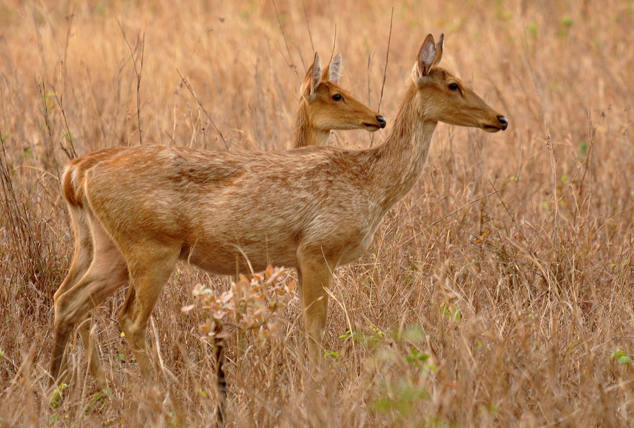
The flagship species of the Lower Gangetic Plains Moist Deciduous Forests ecoregion is the swamp deer. Image credit: Creative Commons
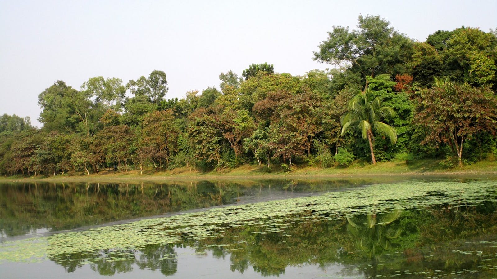
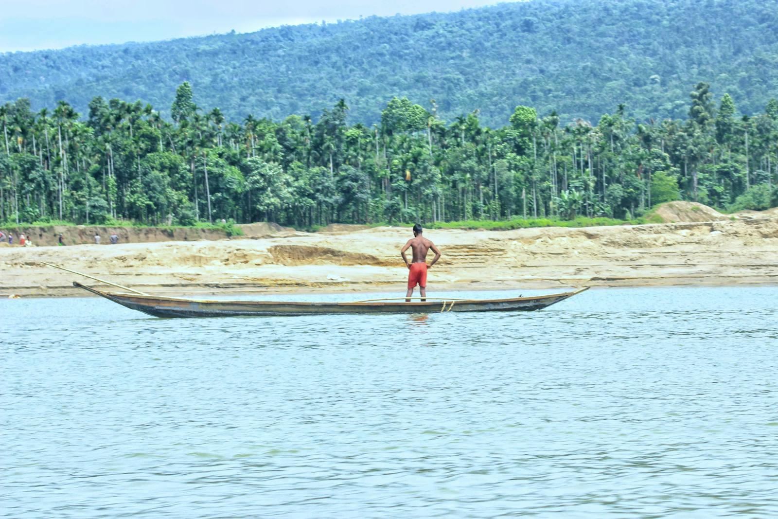
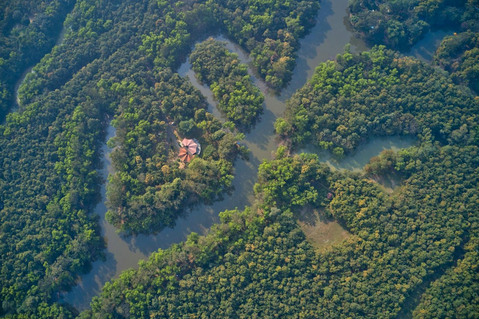
The ecoregion lies along the confluence of two of Asia’s largest rivers, the Ganges and Brahmaputra Rivers. Together, they run along the base of most of the Himalayan mountain range, capturing the flows from the rivers that cascade down the highest mountain range on Earth and channeling it to the Indian Ocean at the Bay of Bengal.
The climate is tropical and highly seasonal. The southwest monsoon that sweeps in from the Bay of Bengal deluges the ecoregion with more than 3,500 mm of rainfall that falls in just four months, from June to September. Frequent cyclones in the Bay of Bengal cause widespread floods.
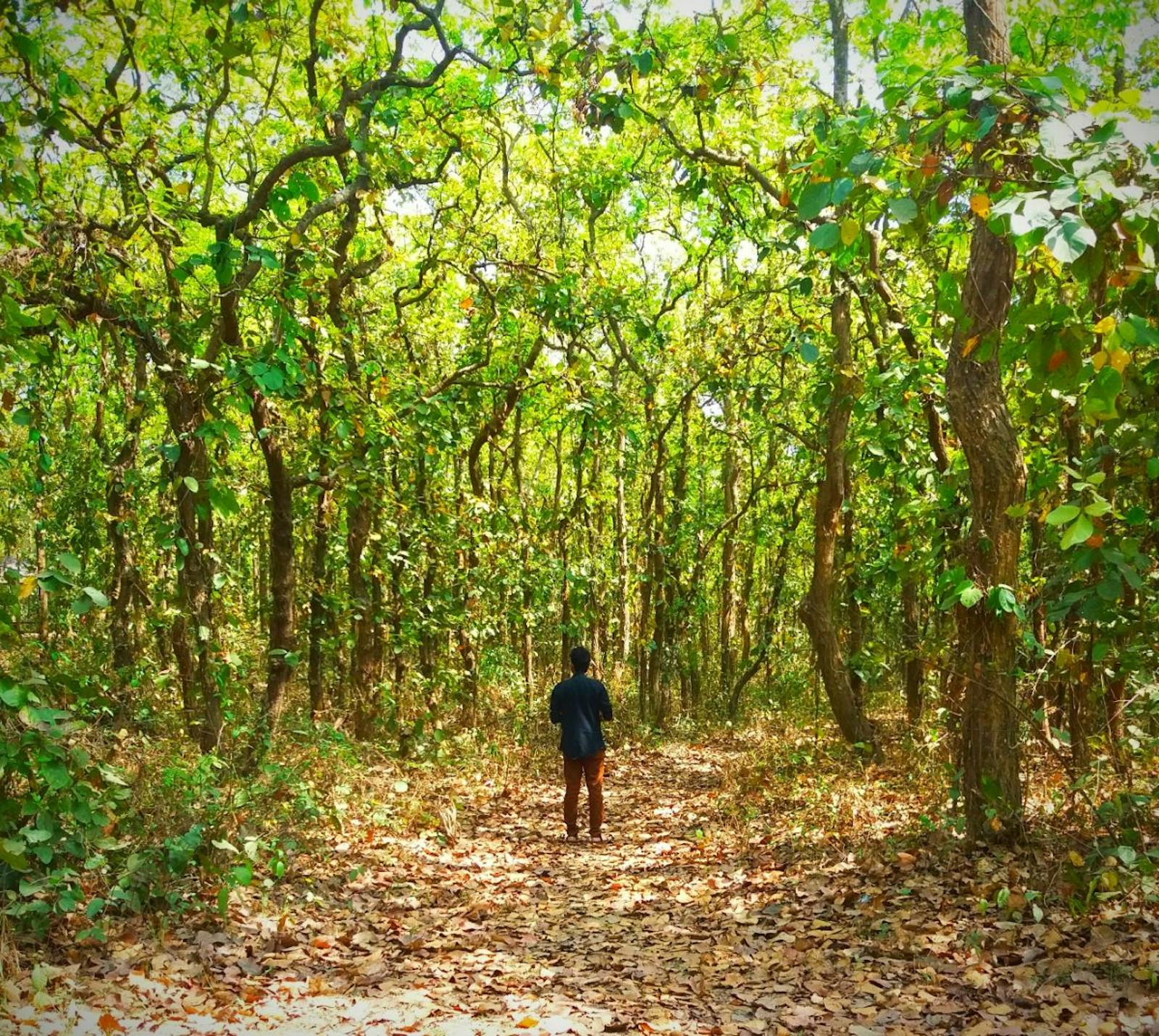
The vegetation is semi-deciduous. The trees that form the canopy includes several deciduous trees that lose their leaves during the dry season, but the lower, understory trees stay evergreen. Tall red silk cotton trees dominate the open forests. But mature forests are dominated by Sal trees, which dominate most of the semi-deciduous forests of the northern Indian subcontinent.
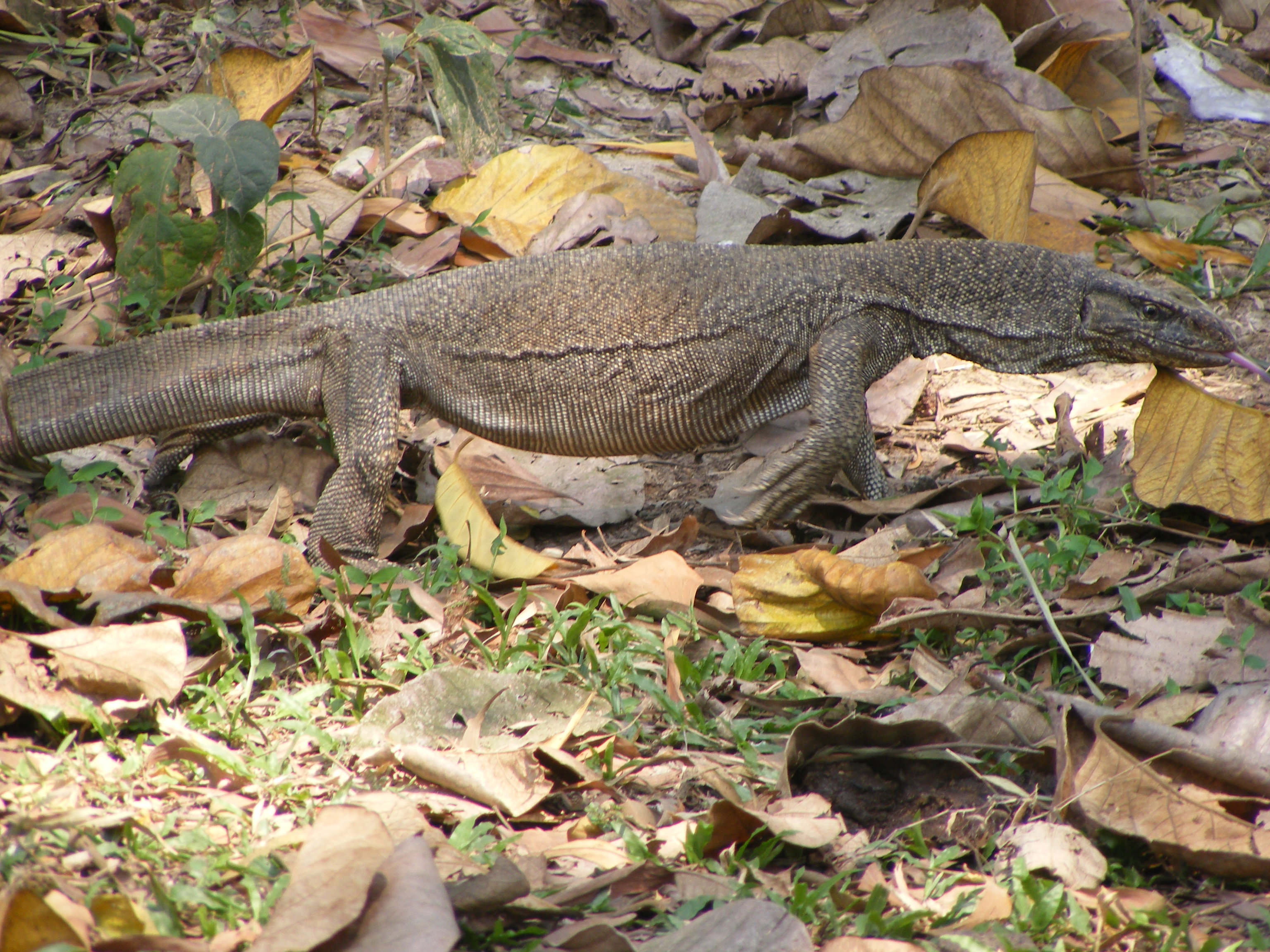
Monitor lizard. Image credit: Creative Commons
The riparian forests that grow along the riverbanks are characterized by two species: Acacia catechu and Dalbergia sisso, with scattered silk cotton trees. These species are indicators of a forest ecosystem maintained by constant disturbances, in this case floods that set back the process of ‘forest succession’ – the gradual change in forest communities until a ‘climax’ forest community is reached.
The known mammal fauna includes 126 species, among which are several threatened species. Despite the widespread clearing and conversion of the natural habitat, the ecoregion still supports some important reserves that are integral to landscapes identified for conservation of several large, threatened species, including tigers and elephants.
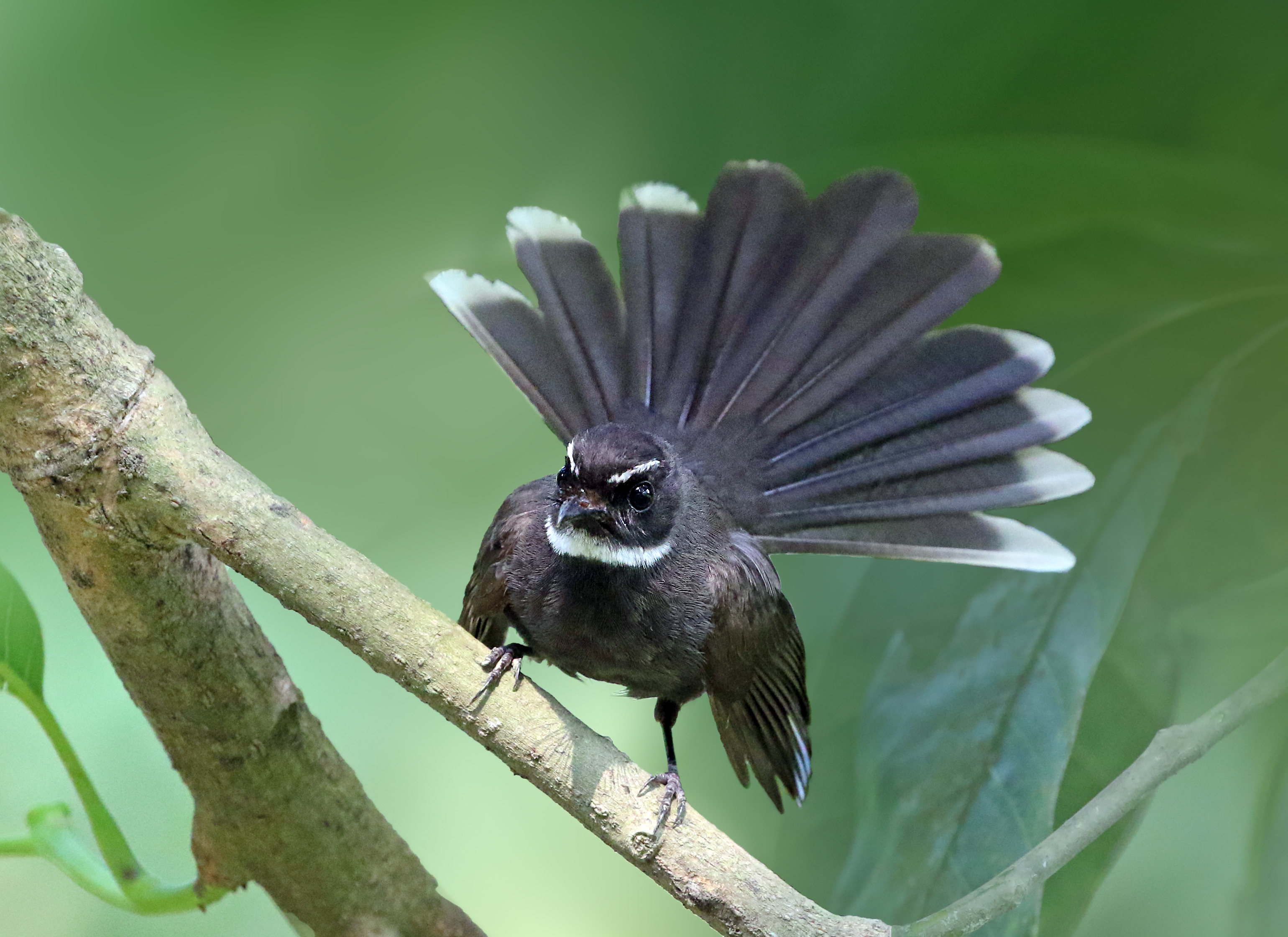
Fantail bird. Image credit: Creative Commons
Bird species richness is even greater in this ecoregion, with 380 known species. Two species are globally threatened, notably the Bengal florican and the lesser florican. Other threatened species that still survive in this ecoregion include the Pallas’s fish-eagle and swamp francolin.
Despite the hundreds of years of human occupation, some forest patches have managed to survive even outside of the protected areas system. Because the current reserves cover only about 2% of the ecoregion area, the priority conservation actions are to:
- secure and protect any remaining large patches close to existing reserves, or within conservation landscapes;
- establish additional founder populations of swamp deer and wild water buffalo in suitable habitats; and
- conserve the unprotected Key Biodiversity Areas, namely Hakaluki Haor, Hail Haor, and Jamuna-Brahmaputra river in Bangladesh, and Chaurs, Kurseala River-Diyara Floodplain, Kusheshwarsthan, and Mokama Taal in India.
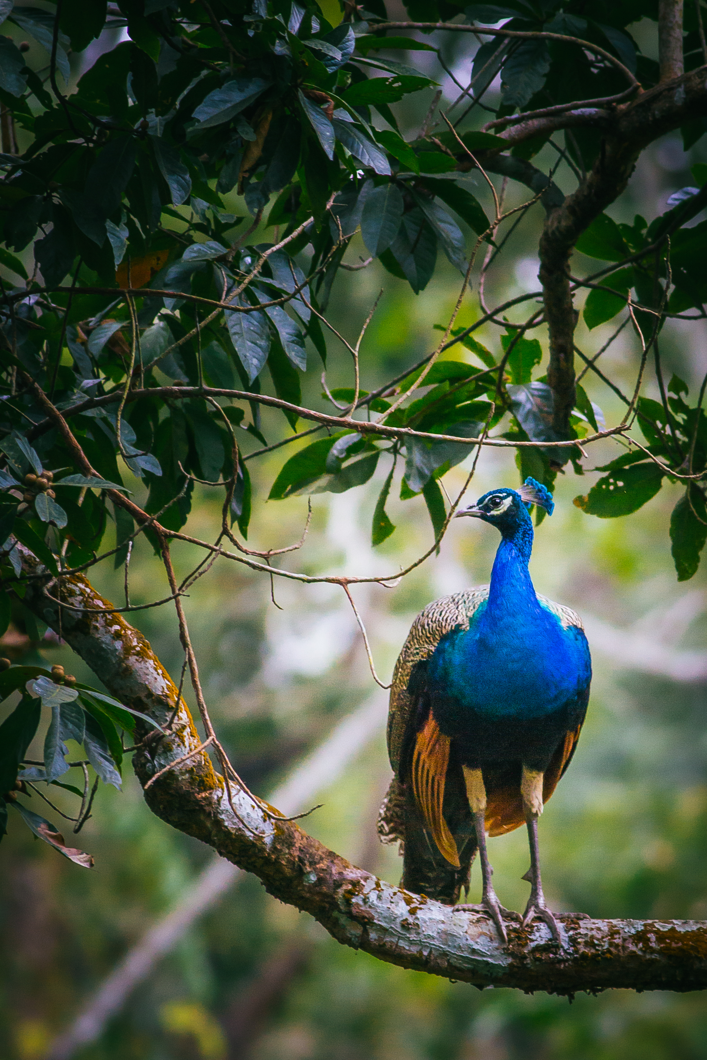
Peacock. Image credit: Creative Commons
Citations
1. Wikramanayake, E, E. Dinerstein, et al. 2002. Terrestrial Ecoregions of the Indo-Pacific: A Conservation Assessment. Island Press.
2. Mukul, S.A., Uddin, M.B., Uddin, M.S., Khan, M.A.S.A. and Marzan, B., 2008. Protected areas of Bangladesh: current status and efficacy for biodiversity conservation. Proceedings of the Pakistan Academy of Sciences, 45(2), pp.59-68.
3. Mijkherjee, M., Praharaj, A. and Das, S., 2002. Conservation of endangered fish stocks through artificial propagation and larval rearing technique in West Bengal, India. Aquaculture Asia, 7(2), pp.8-11.

Subscribe to receive monthly updates on climate solutions, environmental heroes, and the profound beauty and wonder of our shared planet Earth.
