
Petén-Veracruz Moist Forests
The ecoregion’s land area is provided in units of 1,000 hectares. The protection goal is the Global Safety Net (GSN1) area for the given ecoregion. The protection level indicates the percentage of the GSN goal that is currently protected on a scale of 0-10.
Bioregion: Yucatan & Veracruz Mixed Forests (NT27)
Realm: Central America
Ecoregion Size (1000 ha):
14,942
Ecoregion ID:
494
Conservation Target:
58%
Protection Level:
4
States: Mexico, Guatemala, Belize
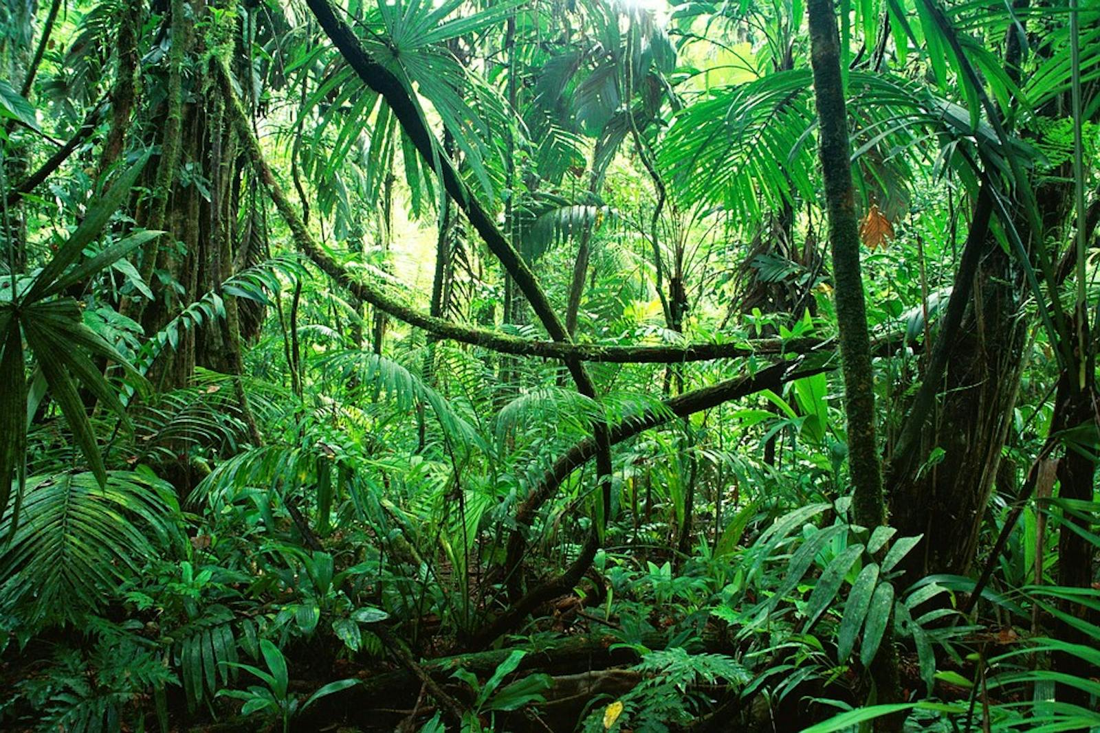
Forming a habitat bridge between the Gulf of Mexico and the Pacific Ocean, this ecoregion contains some of the most important remaining fragments of moist forests in northern Central America. The climate is tropical humid, which provides the dense habitat for the vulnerable and endemic Nava’s wren. This unassuming little brown bird is confined to a very small range in the mountains between the narrowest section of Mexico, although it can be locally common especially in limestone outcrops where it gleans invertebrates from the lichen-covered rock surfaces. Continued habitat loss and degradation are driving this species towards further population decline.
.jpg)
The flagship species of the Petén-Veracruz Moist Forests ecoregion is the Nava’s wren. Image credit: Francesco Veronesi, Creative Commons
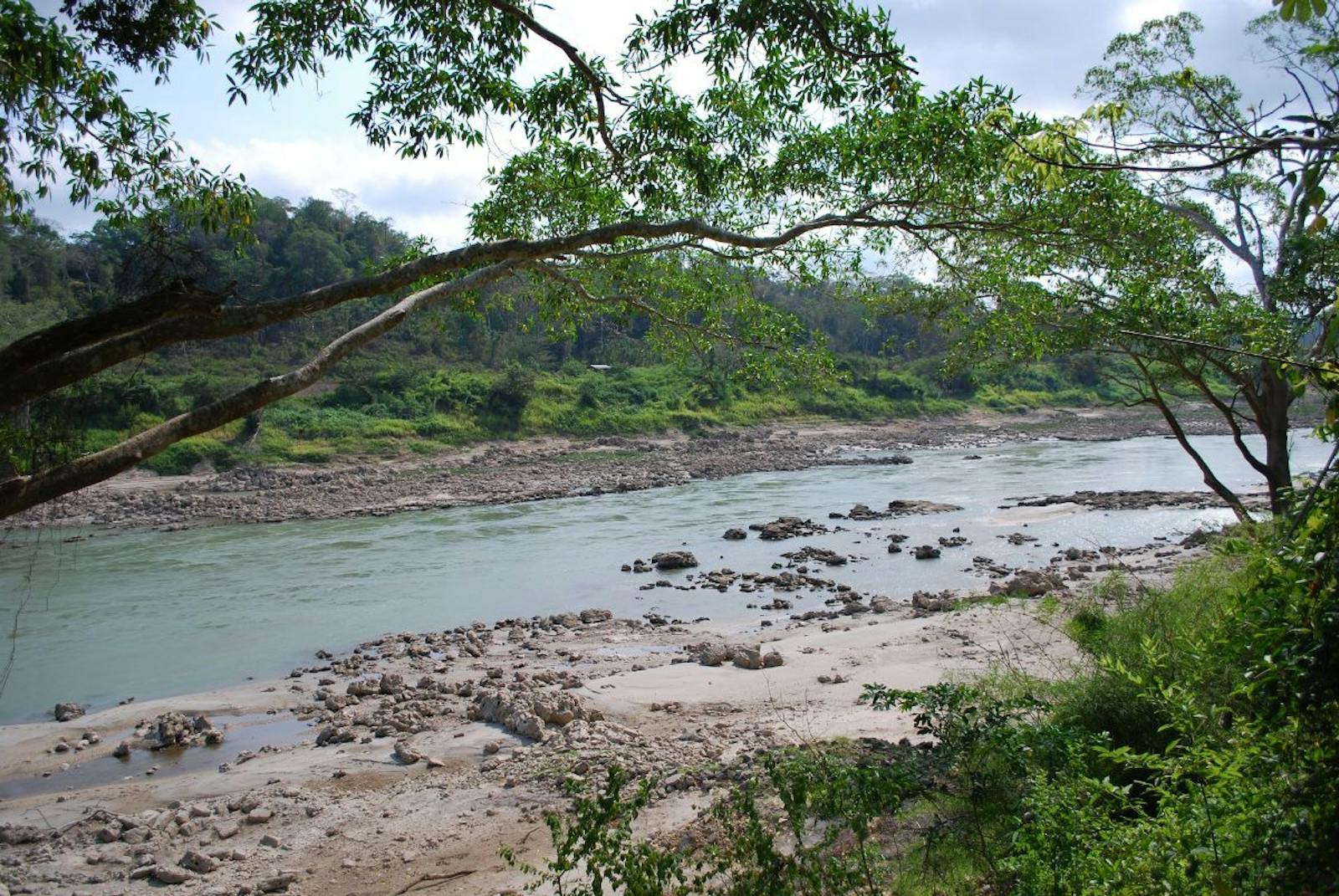
Spanning West to East along southeastern Mexico, the ecoregion narrows where the Mexican states of Veracruz, Oaxaca and Puebla meet, and continues as a wide strip of land towards the southeast. It follows the Papaloapan River up to the Isthmus of Tehuantepec, and then continues on the flanks of the mountains in northern Chiapas State, Mexico, up to the zone near Laguna de Términos in the state of Tabasco. The ecoregion also blankets the northern half of Guatemala, and covers most of Belize. The climate is tropical humid with rain during eight months of the year. Precipitation levels are amongst the highest in Mexico (>2,000 mm/year).
The Veracruz-Oaxaca portion of the forests, near the Chimalapas Montane Forest, is dominated by hard wood tree species and legumes. These vegetation grow on red soils that have good drainage, within undulating terrain. Near the Papaloapan River, varying species of evergreen present. Orchids, bromeliads, moss, and lichens have diversified extensively in this region. In Mexico, the ecoregion contains the largest and least disturbed moist forests in the country. The region where Veracruz, Oaxaca and Puebla meet has been called the Uxpanapa-Chimalapa region, and is a highly important area for animals and plants.
Howler Monkey. Image credit: Thelma Datter, Creative Commons
The lowland forests of the Uxpanapa contain an extraordinary number of endemic plants, such as Cajita, unique species of cedar, and the endangered and endemic genus Chiangiodendron, among over 200 canopy tree species. The Veracruz portion of the ecoregion represents the northernmost distribution limit for many species occurs in. Meanwhile, the Mexican portion support one of the highest species concentration found in the country.
The Petén in Guatemala is home to over 3,000 plant species, including a number of local endemics in areas of difficult access. Several Important Bird Areas have been identified that overlap with this region, including Humedales De Alvarado, Montes Azules, Sierra Norte, and Uxpanapa. In addition, CONABIO has recently identified a set of terrestrial priority areas which overlap the ecoregion, including Selva Zoque-La Sepultura, El Momón Montebello, and Lacondona.
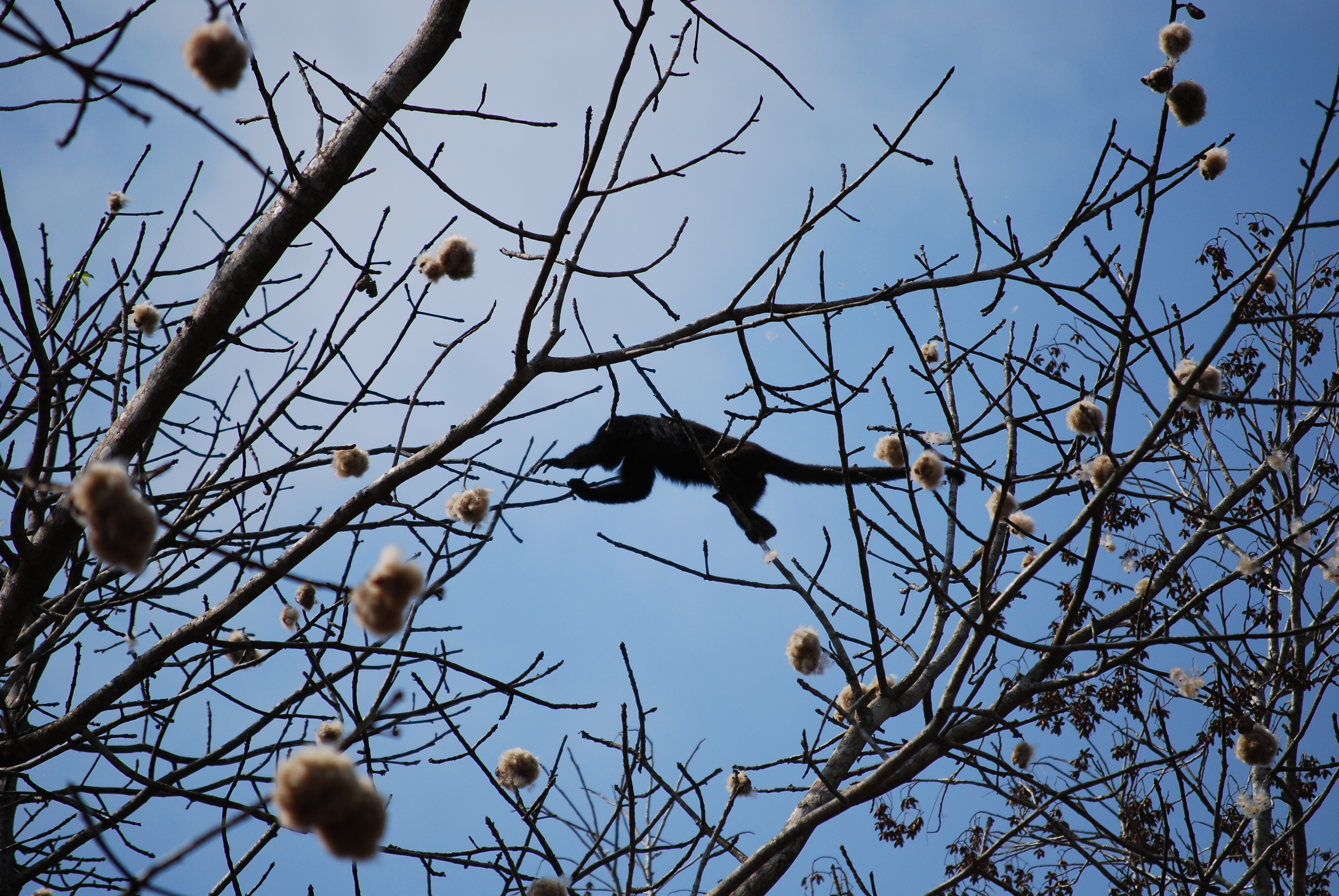
The highly vulnerable Nava’s wren is found here, part of the reason that a portion of the ecoregion has been identified as the Los Tuxtlas and Uxpanapa Endemic Bird Area. Rare mammals of this ecoregion are the jaguar, Baird’s tapir, and spider monkey. Many endemic reptiles also inhabit the tropical forests of the region, although the herpetofauna is not as well studied as the avifauna.
%20resting%20in%20tree.%20Live%20in%20the%20forest%20of%20central%20South%20America%2C%20Brazil%20dreamstime.jpeg)
Spider monkey. Image credit: Steven G. Johnson, Creative Commons
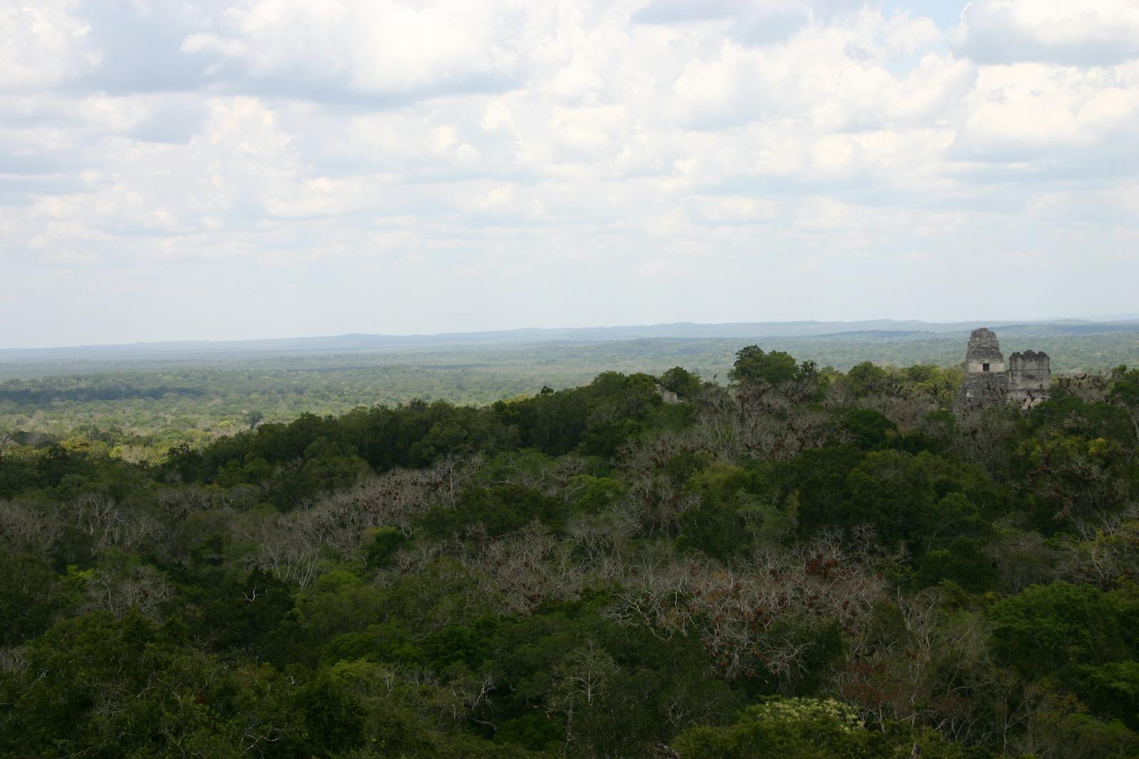
Although some considerable tracts of forest remain, the ecoregion has experienced extensive deforestation, leading to near total clearing in some areas. The hill forests of Veracruz and Oaxaca have almost vanished. Logging is still extensive throughout the Uxpanapa portion. Only about half of the forest remained intact in 1980, and even less remains today. Similarly, the Petén region has a long history of deforestation and disturbance.
Human settlement, land clearing for agriculture, and major industrial development have severely threatened the region. There are few protected areas in the region, although there have been many proposals to establish them. The huge Maya Biosphere Reserve in northern Guatemala is under severe threat from logging and energy development.
The priority conservation actions for the next decade are to: 1) develop and implement regulations and management plans for sustainable land use; 2) promote sustainable agriculture practices; and 3) establish more protected areas to protect the remaining forest habitats.
Citations
1. Valero,A., J. Schipper, T. Allnutt. 2018. Petén-Veracruz moist forests. https://www.worldwildlife.org/ecoregions/nt0154. 30 August 2018.
2. Stattersfield, A.J., M.J. Crosby, A.J. Long, and D.C. Wege. (1998). A global directory of Endemic Bird Areas. BirdLife Conservation Series. BirdLife International, Cambridge, U.K.
3. WWF and IUCN. 1997. In S.D. Davis, V.H. Heywood, O. Herrera-MacBryde, J. Villa-lobos and A.C. Hamilton (editors), Centres of Plant Diversity: A Guide and Strategy for their Conservation: Volume 3, The Americas. IUCN Publications Unit, Cambridge, U.K.

Subscribe to receive monthly updates on climate solutions, environmental heroes, and the profound beauty and wonder of our shared planet Earth.
