South Victoria Land Tundra
The ecoregion’s land area is provided in units of 1,000 hectares. The conservation target is the Global Safety Net (GSN1) area for the given ecoregion. The protection level indicates the percentage of the GSN goal that is currently protected on a scale of 0-10. N/A means data is not available at this time.
Bioregion: Continental Antarctica (AN1)
Realm: Antarctica
Ecoregion Size (1000 ha):
N/A
Ecoregion ID:
132
Conservation Target:
N/A
Protection Level:
N/A
States: Antarctica
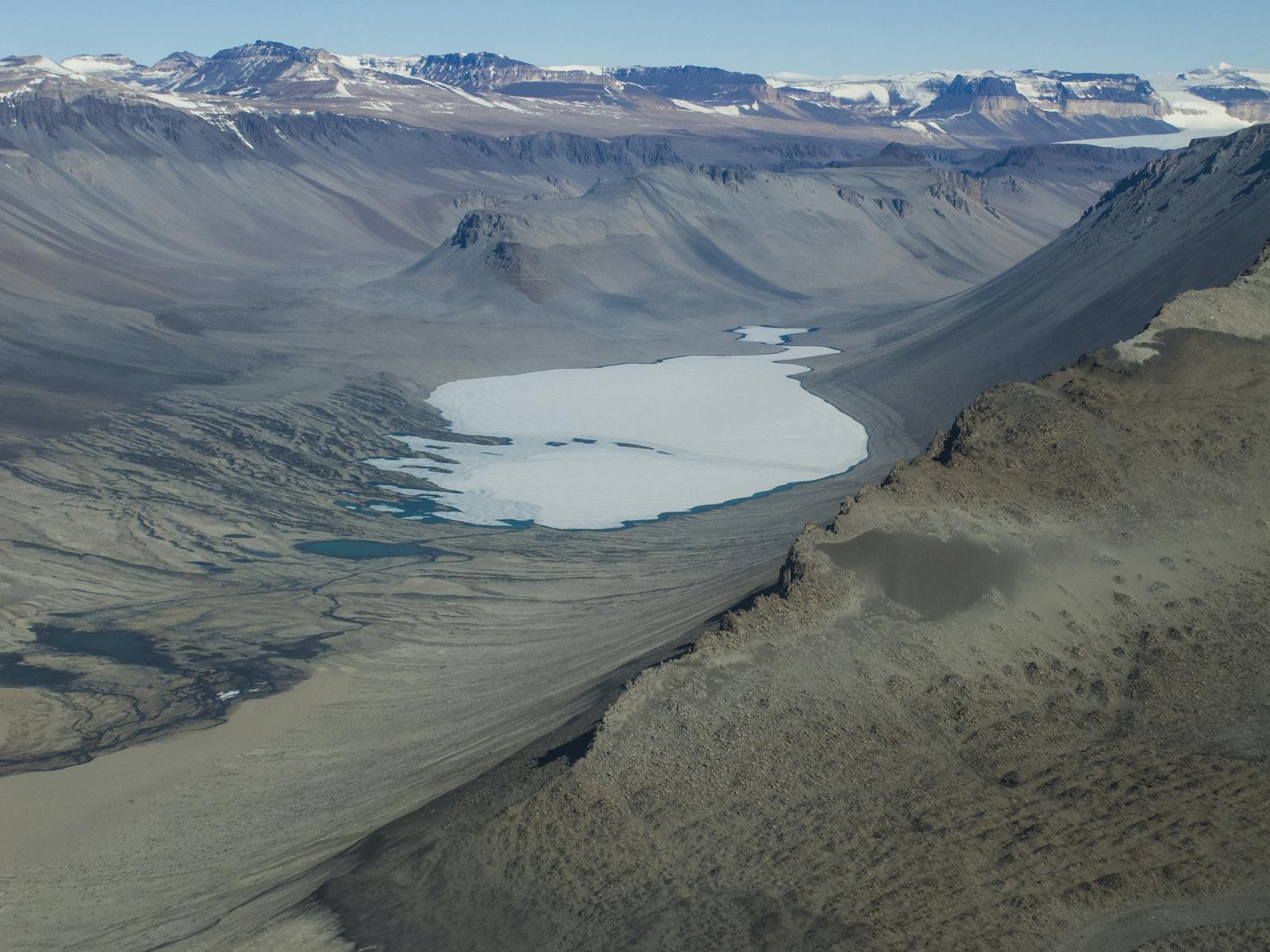
South Victoria Land tundra ecoregion has large areas of connected ice-free land, including the Dry Valleys, which are known as one of the most extreme environments on the planet. The ecoregion is dominated by mineral soils and extensive slabs of exposed rocks, and the biota is largely restricted to microbial communities1. It is the second largest Antarctic ecoregion, located at the southern end of the Ross Sea and abutting the Ross Ice Shelf at its southern extent. It is cold and very dry, with a mean annual temperature of -20ºC and snow of less than 10 cm water equivalent each year. Large glaciers cut down through many of these valleys and dominate the landscape.
Many parts of this ecoregion are often referred to as a ‘polar desert’. Biological life that does exist in the region has some remarkable survival strategies, from bacteria and algae that actually live in the structure of rocks to tardigrades that can survive being desiccated and/or frozen, and then come back to life in the presence of water. Recently, molecular work has revealed a wide diversity of microbial life. Only 17 species of moss have been recorded from the region, which can probably be attributed to the low availability of free water.
Lichens are more common (91 species) but invertebrates are also poorly represented, with nematodes the most commonly recorded from the region, including the endemic Scottnema lindsayae. There are seven Adélie penguin (Pygoscelis adeliae) colonies in the coastal areas of region, with a total estimate of 422,000 breeding pairs, the largest of these colonies on Cape Crozier accounts for over half of this total with 270,000 breeding pairs.

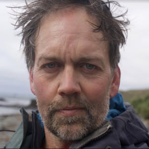
The flagship species of the South Victoria Land Tundra ecoregion is the Scottnema lindsayae nematode. Image credit: Courtesy of Manuel Mundo
The ecoregion contains the Antarctic stations of New Zealand (Scott) and the United States (McMurdo) he latter being the largest station in Antarctica housing over 1000 people in summer. This ecoregion also includes Ross Island, which was the base for many early expeditions to Antarctica. Huts used by famous Antarctic explorers Robert F. Scott, and Ernest Shackleton still stand today, preserved by heritage groups and protected area designations. Mount Erebus, one of the most active Antarctic volcanoes also occurs in this ecoregion. Although there are only two stations, due to the large size and accessibility the region has some of the highest human activity outside of the Antarctic Peninsula.
It is estimated that over 1,000 scientists and their support staff visit the region each year, but due to the accessibility that the nearby runway provides, with regular shuttle flights from New Zealand, the number of scientists may come and go from the region each year is likely to be much higher. Over 1,000 tourists visit this area in some years, and most go to this ecoregion to visit the historic hut sites. Other areas like Franklin Island, Cape Bird are popular tourist destinations, largely due to the Adélie penguins breeding there.
Tourists are also taken by helicopter to a limited number of inland sites. There are 15 Antarctic Specially Protected Areas in this ecoregion. Some of these are designated for the protection of historical sites or sites of scientific significance, but nine are designated for the protection of biological diversity or protection of vulnerable ecosystems. These ASPAs account for approximately 4% of the entire region.
Given the relatively high levels of current and planned future human activities, priority conservation actions for the next decade are to: 1) increase research into understanding and mitigating impacts of human activity on the environment; 2) undertake systematic conservation planning to identify vulnerable areas, species and sites that are in need of protection; and 3) ensure a strong and robust Antarctic Treaty system to maintain continent-wide protection of Antarctica under the provisions of the Environmental Protocol to the Antarctic Treaty system.
Citations
- Terauds, A., S. L. Chown, F. Morgan, H. J. Peat, D. J. Watts, H. Keys, P. Convey, and D. M. Bergstrom. (2012) Conservation biogeography of the Antarctic. Diversity and Distributions 18:726-741.
- Terauds, A., and Lee, J. R. (2016) Antarctic biogeography revisited: updating the Antarctic conservation biogeographic regions. Diversity and Distributions 22:836-840.
- Chown, S.L. & Convey, P. (2007) Spatial and temporal variability across life’s hierarchies in the terrestrial Antarctic. Philosophical Transactions of the Royal Society B: Biological Sciences, 362: 2307–2331.

Subscribe to receive monthly updates on climate solutions, environmental heroes, and the profound beauty and wonder of our shared planet Earth.
