
Southern Annamites Montane Rainforests
The ecoregion’s land area is provided in units of 1,000 hectares. The conservation target is the Global Safety Net (GSN1) area for the given ecoregion. The protection level indicates the percentage of the GSN goal that is currently protected on a scale of 0-10. N/A means data is not available at this time.
Bioregion: Indochina Mixed Forests & Peatlands (IM12)
Realm: Indomalaya
Ecoregion Size (1000 ha):
4,659
Ecoregion ID:
272
Conservation Target:
79%
Protection Level:
3
States: Cambodia, Laos, Vietnam
Since its first discovery in Vu Quang National Park in 1992, the saola has been recorded from only a handful of other sites in the Annamite Mountains. The Southern Annamites Montane Rain Forests ecoregion is one of these important refugia for one of the world’s rarest mammals. Even local hunters, adept at spotting and trapping wildlife, spend years in the forests without seeing a saola, which attests to its rarity.
But the saola is not the only charismatic species new to science in this ecoregion. Subsequent surveys have revealed several other new species, from primates to forest-dwelling frogs. The recently described mountain elfin toad is one of the smallest species of horned mountain toads known to science. These discoveries show that the Annamites rainforests are still only very gradually revealing their biological treasures.

The flagship species of the Southern Annamites Montane Rainforests ecoregion is the black-shanked douc langur. Image credit: Creative Commons
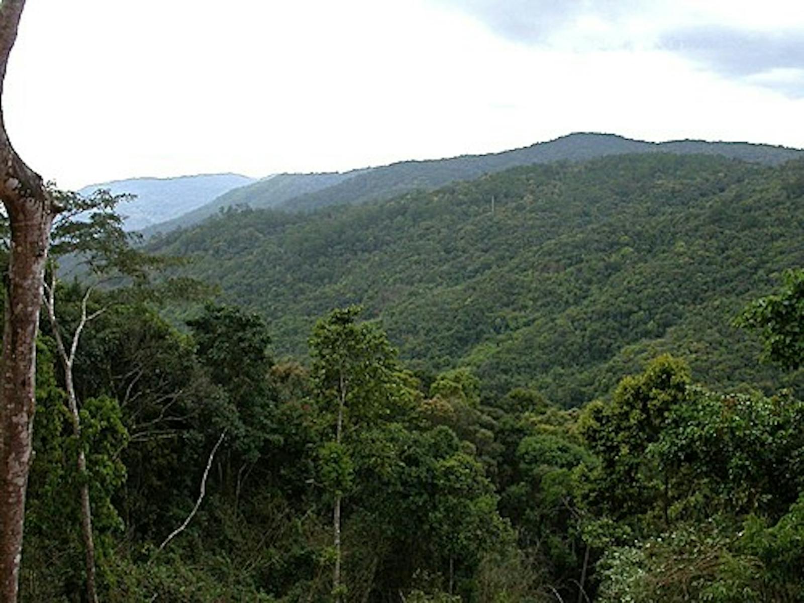
The ecoregion represents the remote montane forests from Kontuey Neak, or “the Dragon’s Tail” in the northwest corner of Cambodia, along the southern reaches of the Annamites Mountain range, straddling the boundary of Laos and Vietnam to include the Bolovans Plateau of Laos. The diverse geology and climate influence the vegetation and biodiversity. The Kontum Massif with its exposed granitic basement rock extends for 250 km from north to south, rising to Ngoc Linh at 2,598 m elevation.
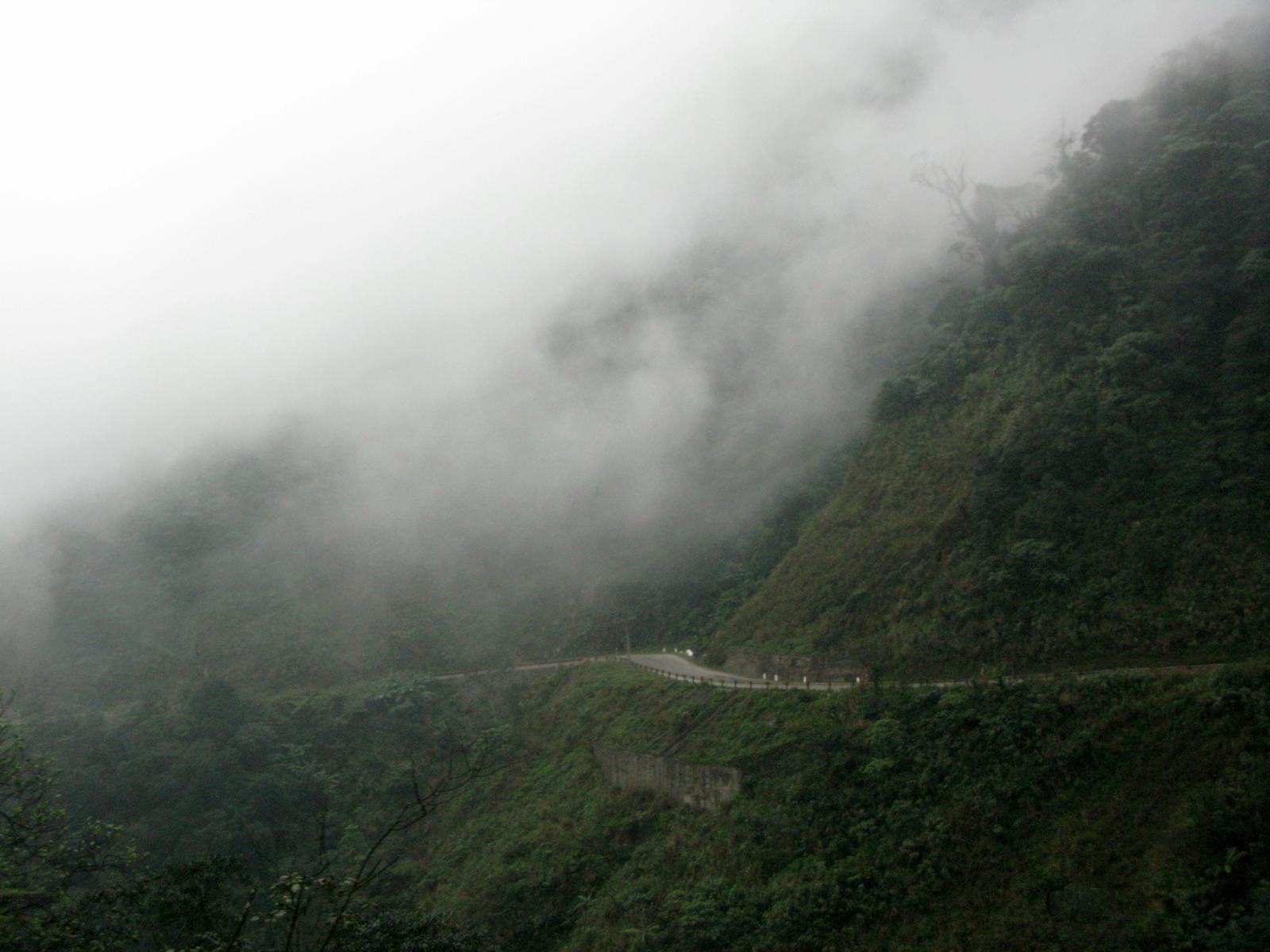
To the south the geology is a complex mosaic of volcanic basalts, granites, and sedimentary substrates. The weathered basalts produce highly fertile soils with good agricultural potential. The climate presents gradients of rainfall, from 1,500 to 2,500 mm of annual rain, with most occurring from August to October. Mean annual temperature is relatively constant at 20–21°C. Humidity is ubiquitous.
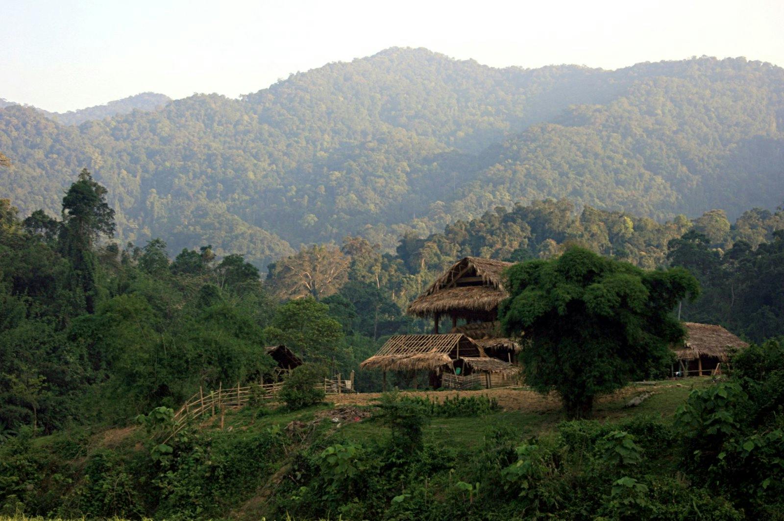
Because of extensive swidden agriculture practiced for centuries, reconstruction of the original forest structure and composition is difficult. The wet evergreen forests in the foothills are now dominated by rich species communities of Fagaceae, Myrtaceae, and Lauraceae. The Fagaceae alone are represented by over 20 species of Lithocarpus, 5 Castanopsis species, and 3 Quercus species.
Very large trees of Anacardiaceae and Dipterocarpaceae emerge from the canopy, when they have been spared. Lianas add structural complexity to the forest. The higher elevations are characterized by evergreen hardwood forests of Fagaceae, Magnoliaceae, Aceraceae, Podocarpaceae, Lauraceae, and Theaceae. The diversity of conifers is high in the montane forests, with five genera, Podocarpus, Calocedrus, Fokienia, Cephalotaxus, and Taxus. Pinus dalatensis and Pinus krempfii are endemic species. Epiphytes, especially orchids, drape the upper canopy of trees.

Indochinese Tiger. Image credit: Creative Commons
Many of the megafauna species have been hunted out, but some species of conservation importance still hold out. Notable among these are the obligate forest dwellers that are sensitive to forest degradation, including saola and several primates, namely red-shanked douc langur, grey-shanked douc langur, black-shanked douc langur, southern yellow-cheeked crested gibbon, and northern yellow-cheeked crested gibbon.
Over 410 bird species are known from this ecoregion, including several that are highly threatened and require conservation attention: the white-winged duck, Edwards’s pheasant, and Siamese fireback.
A large part of this ecoregion’s forests still remain unprotected. But forest degradation, especially by swidden agriculture, and hunting is widespread, including in protected areas. Thus, the recommended priority conservation interventions are to: 1) expand the network of protection across the ecoregion’s landscape, especially in representative locations with high endemism and species turnover; 2) strengthen resource and governance support for effective protection and monitoring; and 3) engage local communities in conservation.
Citations
1. Wikramanayake, E, E. Dinerstein, et al. 2002. Terrestrial Ecoregions of the Indo-Pacific: A Conservation Assessment. Island Press.
2. Critical Ecosystems Partnership Fund. 2012. Ecosystem Profile. Indo-Burma Biodiversity Hotspot. 2011 Update. https://www.cepf.net/Documents/final.indoburma_indochina.ep.pdf Accessed Dec 2017.
3. Greater Mekong Subregion Atlas of the Environment. 2nd ed. Asian Development Bank. 2012. https://www.adb.org/sites/default/files/publication/30074/gms-atlas-environment-2nd-edition.pdf. Accessed Dec 2017.

Subscribe to receive monthly updates on climate solutions, environmental heroes, and the profound beauty and wonder of our shared planet Earth.
