

Southern Congolian Forest-Savanna
The ecoregion’s land area is provided in units of 1,000 hectares. The protection goal is the Global Safety Net (GSN1) area for the given ecoregion. The protection level indicates the percentage of the GSN goal that is currently protected on a scale of 0-10.
Bioregion: South Congolian Forest-Savannas & Coastal Scarp (AT13)
Realm: Afrotropics
Ecoregion Size (1000 ha):
56,954
Ecoregion ID:
58
Conservation Target:
11%
Protection Level:
3
States: Democratic Republic of Congo, Angola
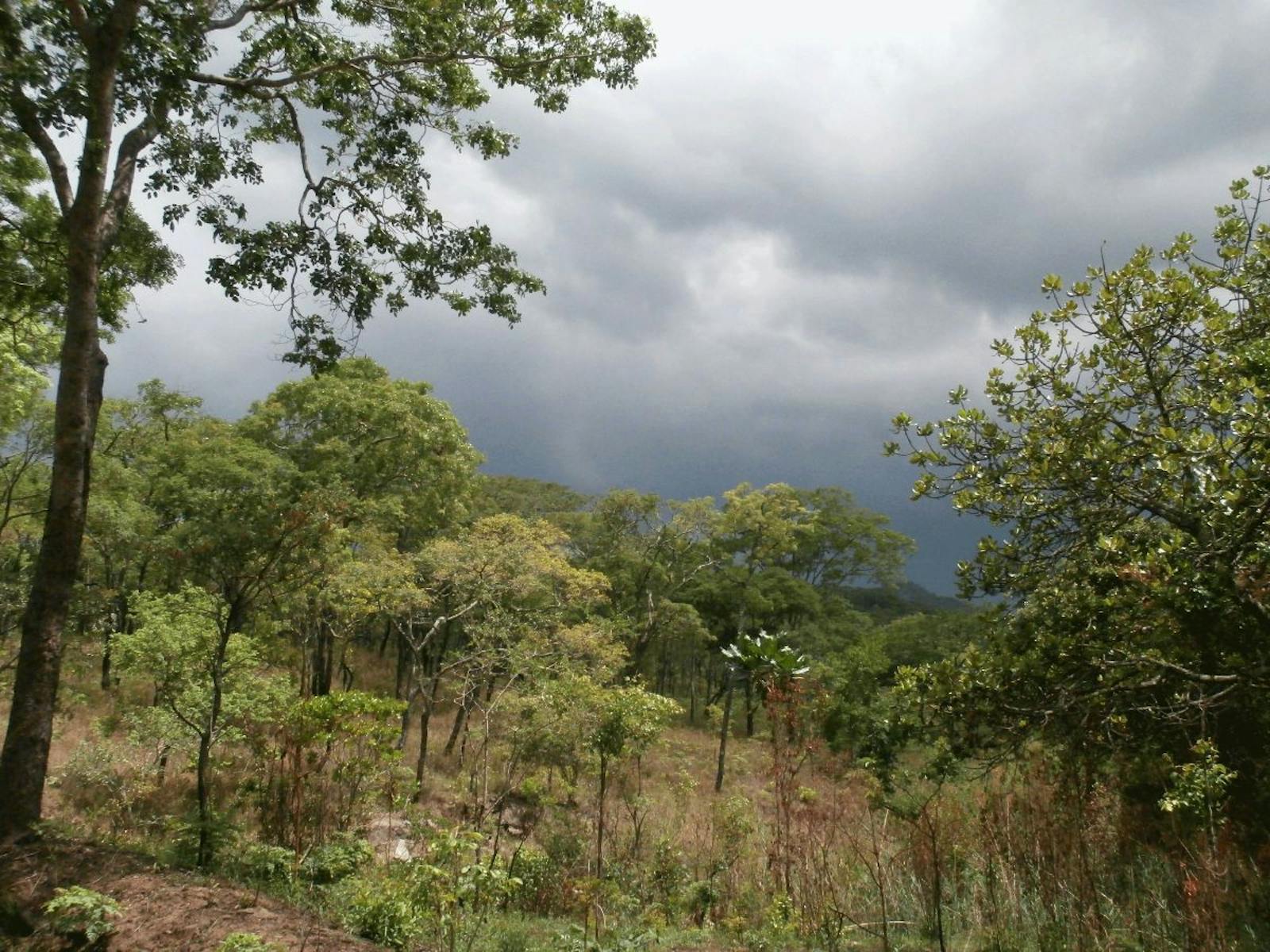
The mosaic of woodlands, shrublands and grasslands in the Southern Congolian Forest-Savanna ecoregion support African elephants and a number of different antelopes, including bongos, one of the largest of the forest antelopes with a striking bright white strips on their chestnut sides for camouflage.
Over the last 10 million years, Central Africa may have experienced more than 20 climatic fluctuations, causing major vegetation shifts. A notable disturbance was a large-scale erosional event, approximately 2,000–2,500 ago, due to greater seasonality in the rainfall. During this time, forests became highly fragmented and were replaced by drier vegetation including wooded savannas. Flora and fauna shifted location, adapted or disappeared, as they continue to do under current climatic shifts.
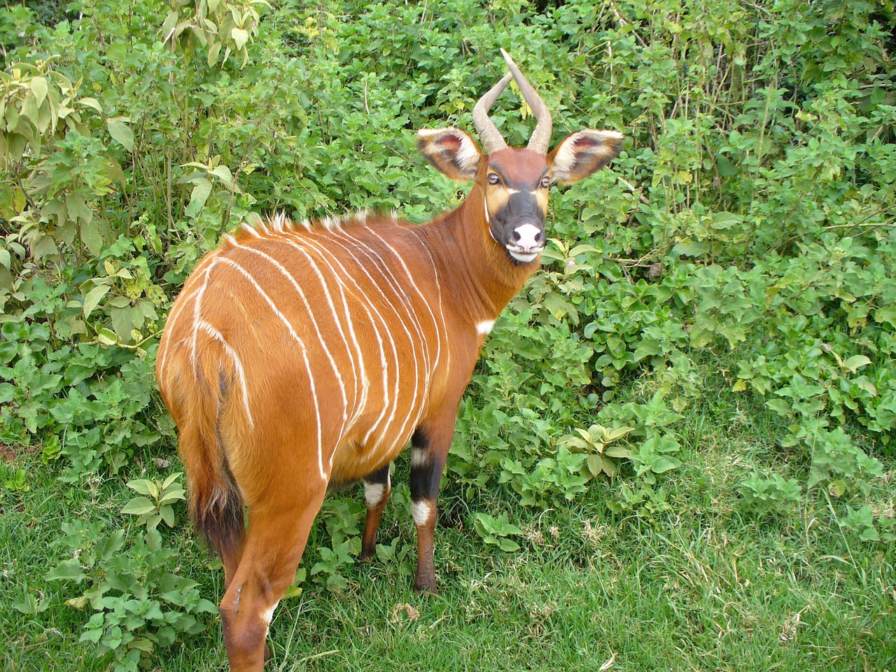
The flagship species of the Southern Congolian Forest-Savanna ecoregion is the bongo. Image credit: Creative Commons
The ecoregion covers much of south central Democratic Republic of Congo (DRC) and the northeast corner of Angola. The annual mean maximum temperature is between 27° and 30°C and the annual mean minimum temperature is between 18°C and 21°C. Rainfall averages 1,400 mm per annum and in the drier southeast, annual precipitation falls to 1,200 mm, while at the northern margins and in the southern highlands, annual precipitation rises to 1,600 mm, supporting forest.
This ecoregion gradually rises from the southern part of the Congo Basin at 300 m to 400 m onto the Central African Plateau at about 1,000 m. Deep river valleys provide much of the topographical relief, and expose pre-Cretaceous ‘karoo’ sedimentary rock, which underlies much of the region. Quaternary Kalahari sands stretch across the southern portion of the ecoregion.
The degree to which these vegetation complexes are interwoven is influenced by the severity and duration of the dry season, rainfall, groundwater availability, land use and fire history, soils, past climate, topography, underlying geology, geomorphology, and extent of elephant herbivory.
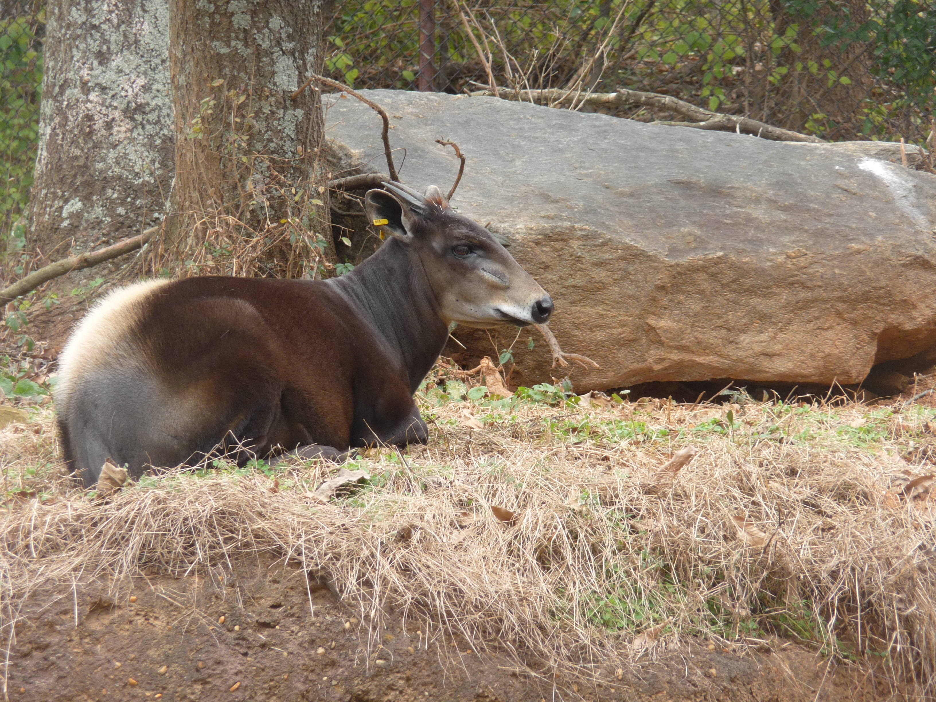
Yellow backed duiker. Image credit: Creative Commons
Characteristic of the ecoregion are long, ribbon-like forests running north to south along rivers fanning from the Congo Basin into the savanna woodlands to the south. Larger tree species characteristic of the drier peripheral rainforest include Albizia zygia, Lovoa trichilioides, and Parkia filicoidea. The southern part of the ecoregion is characterized by secondary grassland and wooded grassland. Principal grasses include Andropogon schirensis, Hyparrhenia confinis, and Pennisetum unisetum.
This ecoregion is in the zone of dynamic change between forest and savanna. There are few endemics and moderate levels of species richness in all groups. Widespread forest mammals occurring here include bongo, blue duiker, and yellow-backed duiker. More typical savanna animals found across the ecoregion include waterbuck, southern reedbuck, elephant, roan antelope, buffalo, and hippopotamus. The top predator is the lion.
Although rates of endemism are generally low, there are a few endemic small mammals (Gallagher’s free-tailed bat, greater Congo shrew, Lukolela swamp rat, pygmy mouse, and least soft-furred mouse). The three endemic reptile species found here are the African bighead snake, Kabinda worm lizard, and Feylinia macrolepis.
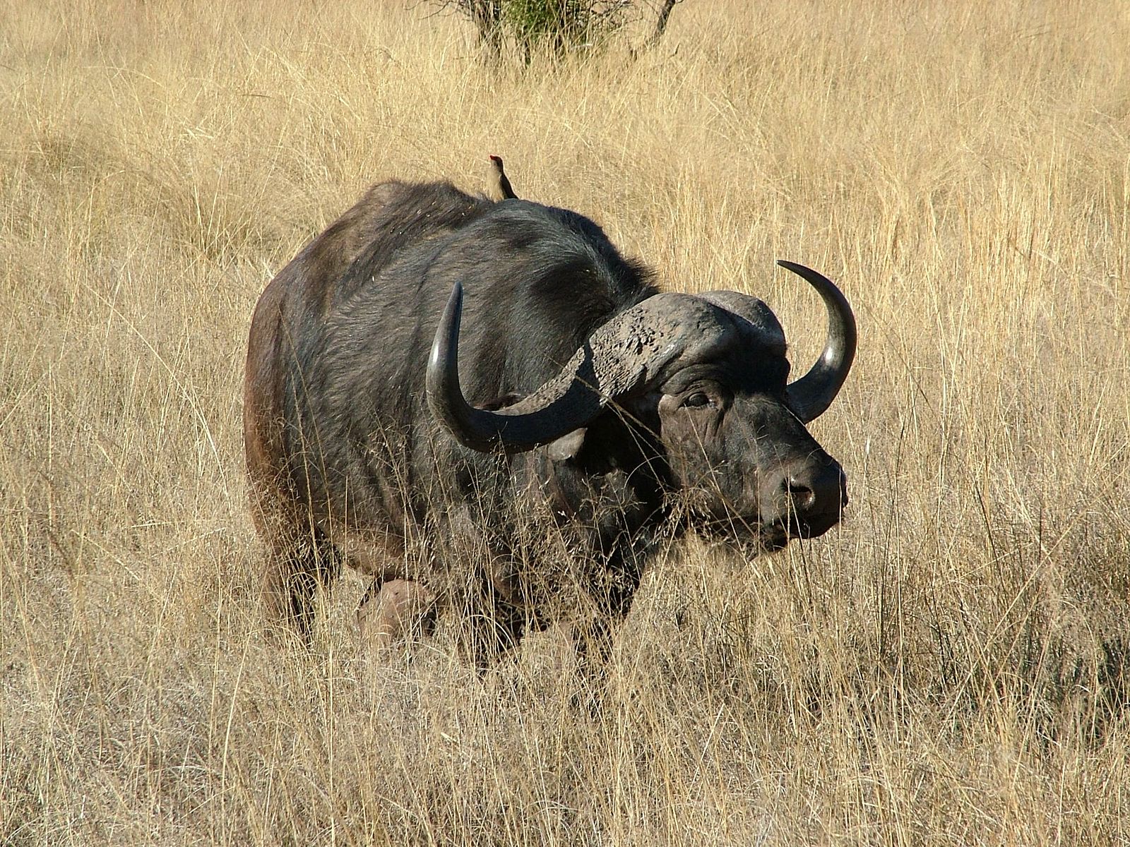
African buffalo. Image credit: Creative Commons
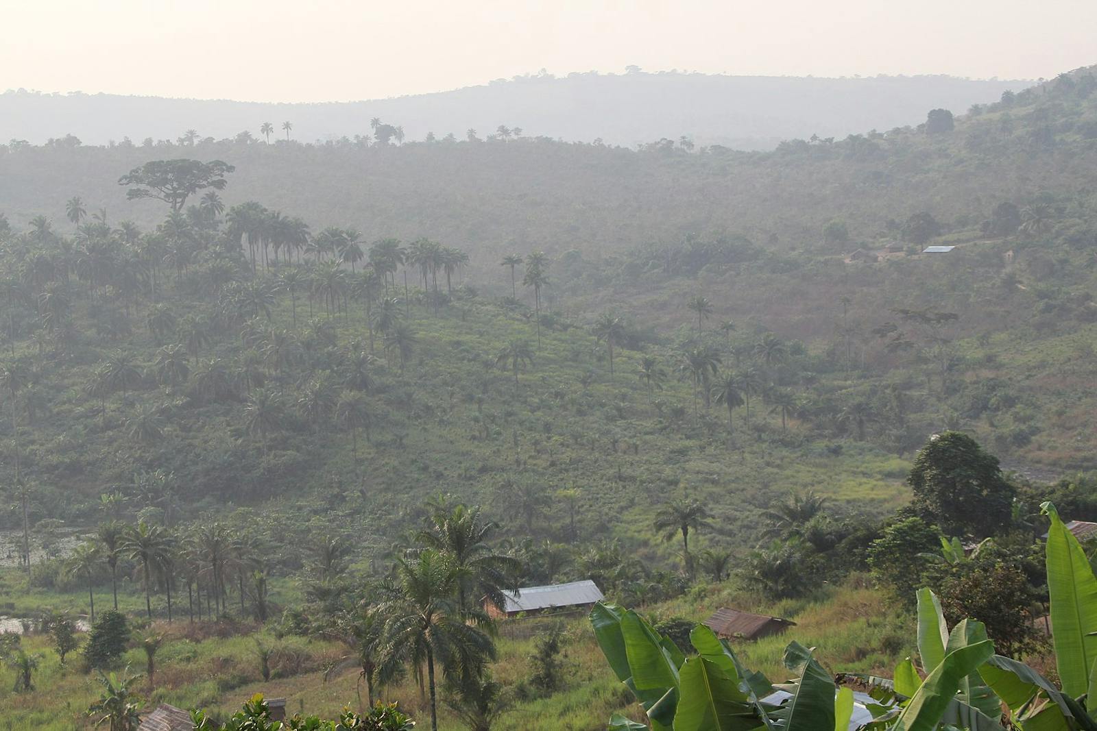
Fossil evidence suggests that forest-savanna mosaic habitats have persisted since the last glacial maximum around 20,000 years ago, but that more recently, human has played a major role in shaping the forest and savanna. Significant areas of forest remain close to the various rivers that feed into the Congo River. Most of the forest is found in the Kasai Occidental province of DRC. Much of the rest of the ecoregion has savanna woodlands, often fragmented by agriculture. Only small areas of the ecoregion are protected. Managed areas include Bushimaie Hunting Area, Luama-Kivu Hunting Area and Mangai Nature Reserve. Lomami National Park partially protects this ecoregion.
Humans are believed to have accelerated the spread of grasslands across this region, especially in the drier south, by increasing the frequency and intensity of the fire cycle and clearing land for agriculture. The most extensive areas of burning occur in the southern Bandundu, Kasai, and Shaba Provinces of the DRC, where the boundary between the dense humid forest and savanna is clearly demarcated. Elephants have also contributed to the spread of grasslands.
From 1994 to 2003, the DRC suffered serious ethnic strife and civil war, and rebel groups still operate within the country. Many of the old hunting reserves have been hit heavily by poaching and were encroached upon with little to no management. This ecoregion should be a high priority for management and conservation due to its potential to store large quantities of carbon as the grasslands develop into forests.
The priority conservation actions for the next decade will be to: 1) support capacity building of park staff to increase the effectiveness of protected areas; 2) develop alternative income opportunities to reduce the clearing of land for agriculture; and 3) expand the protected area network.
Citations
1. Burgess, N., Hales, J.A., Underwood, E., Dinerstein, E., Olson, D., Itoua, I., Schipper, J., Ricketts, T. and Newman, K. 2004. Terrestrial ecoregions of Africa and Madagascar: a conservation assessment. Island Press.
2. Seyler, J.R., Thomas, D., Mwanza, N. and Mpoyi, A. 2010. Democratic Republic of Congo: Biodiversity and Tropical Forestry Assessment (118/119). Final Report. Democratic Repulic of Congo: USAID.
3. Hopkins, B. 1992. Ecological processes at the forest-savanna boundary. In: Nature and Dynamics of the Forest-Savanna Boundaries.Furley, P., Ratter, J. and Procter, J. eds. Netherlands: Springer Netherlands.
4. Maley, J., Doumenge, C., Giresse, P., Mahé, G., Philippon, N., Hubau, W., Lokonda, M.O., Tshibamba, J.M. and Chepstow-Lusty, A. 2018. Late Holocene forest contraction and fragmentation in central Africa. Quaternary Research. 89(1), pp.43-59.

Subscribe to receive monthly updates on climate solutions, environmental heroes, and the profound beauty and wonder of our shared planet Earth.
