Afrotropics
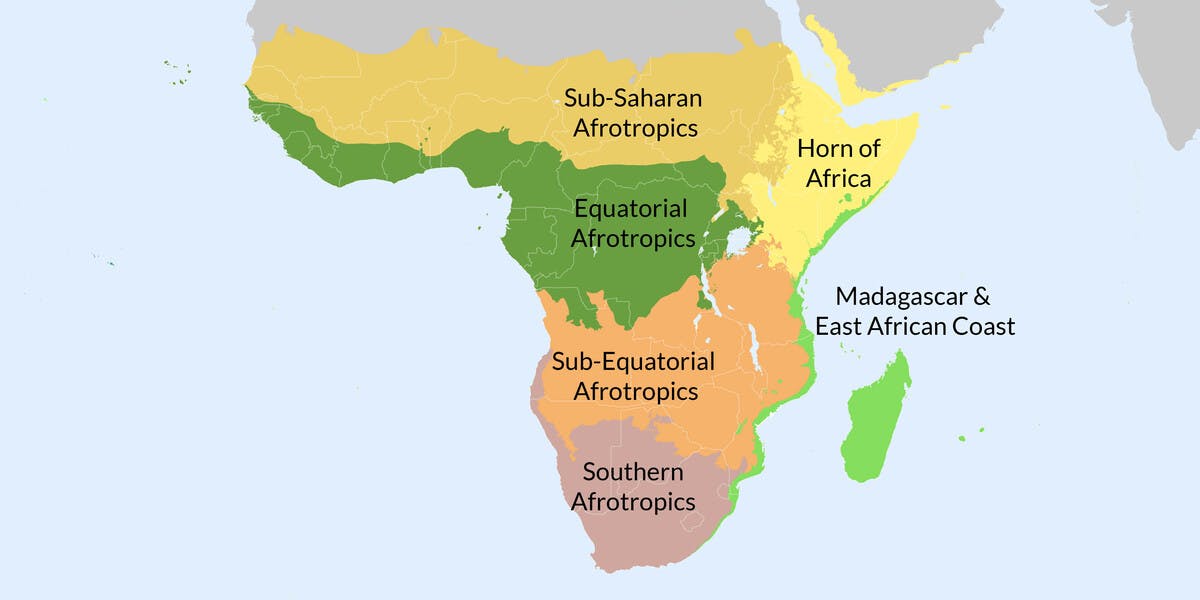
The Afrotropics is one of the world’s biogeographical realms with six subrealm divisions based on the One Earth Bioregions Framework—Southern Afrotropics, Sub-Equatorial Afrotropics, Equatorial Afrotropics, Madagascar & East African Coast, Sub-Saharan Afrotropics, and Horn of Africa—containing 24 bioregions in total. The Southern Afrotropics subrealm has six bioregions, including the Karoo and Kalahari drylands, and incorporates the southern tip of Africa, a Mediterranean biome, and one of the most biodiverse floristic regions in the world with over 9,000 endemic plant species. The Madagascar & East African Coast subrealm contains the continent’s forested eastern coastline and adjoining marine areas and islands in the Indian Ocean, including Madagascar, one of the most biodiverse and the most threatened landscapes on the planet. The island is home to over 200,000 species, half of which are found nowhere else in the world. The Sub-Equatorial Afrotropics subrealm is defined by one bioregion containing 20 woodland and grassland ecoregions, including the Serengeti, host to one of the largest mammal migrations in the world. The Equatorial Afrotropics subrealm has seven bioregions dominated by the Congolian forests and forest savannas, extending westward from the Gulf of Guinea and including large mangroves along the coast. The Sub-Saharan Afrotropics subrealm has three bioregions, with the Sahel Acacia Savannas and Sudanian Savannas spanning the width of the continent. The Horn of Africa subrealm has two bioregions, incorporating Somali bushlands, Ethiopian montane areas, and the coastal drylands, which span across the Gulf of Aden to include the southern tip of the Arabian peninsula.
-
-
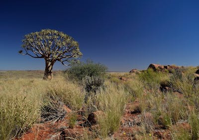
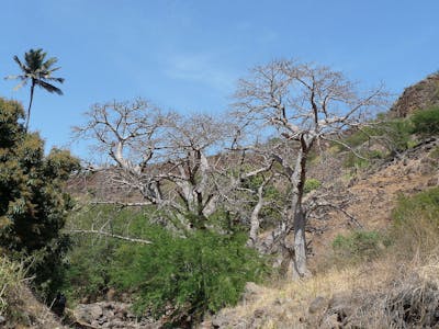
Southwest African Coastal Drylands (AT10)
Total Land Area (1000 ha): 26,930 Number of Ecoregions: 4 Protection Target: 71% Protection Level: 9The Southwest African bioregion, located in the Afrotropics realm, runs the length of Namibia’s Atlantic Coast through the southern half of Angola. It is an extremely arid region consisting of sandy coastal deserts, steppe, and dry savanna woodlands with four ecoregions altogether totaling approximately 27 million hectares of land area.
-
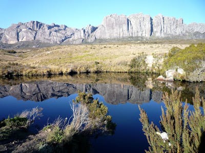
Greater Karoo & Kalahari Drylands (AT9)
Total Land Area (1000 ha): 121,046 Number of Ecoregions: 4 Protection Target: 47% Protection Level: 4The Greater Karoo & Kalahari bioregion, located in the Southern Afrotropics subrealm of the Afrotropics, encompasses the large expanse of dry savannas and woodlands between the Highveld in South Africa and the coastal deserts of Namibia. It contains four ecoregions totaling approximately 121 million hectares of land area.
-
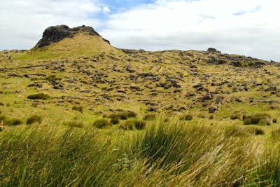
Southeast African Subtropical Grasslands (AT8)
Total Land Area (1000 ha): 63,156 Number of Ecoregions: 5 Protection Target: 12% Protection Level: 5The Southeast African Subtropical Grasslands bioregion, located in the Southern Afrotropics subrealm, is centered around the inland Highveld, a plateau formed by the Great Escarpment ridge in South Africa dominated by mountain grasslands, which transition to subtropical grasslands in the east and mid-altitude bushlands in the north. It contains five ecoregions.
-
South African Cape Shrublands & Mountain Forests (AT2)
Total Land Area (1000 ha): 17,833 Number of Ecoregions: 5 Protection Target: 31% Protection Level: 5The South African Cape bioregion is the only Mediterranean bioregion in the Afrotropical realm. It is confined to the small southern coastline of the continent and incorporates the succulent Karoo ecoregion, which is tightly interlinked with the dominant shrublands. It contains five ecoregions.
-
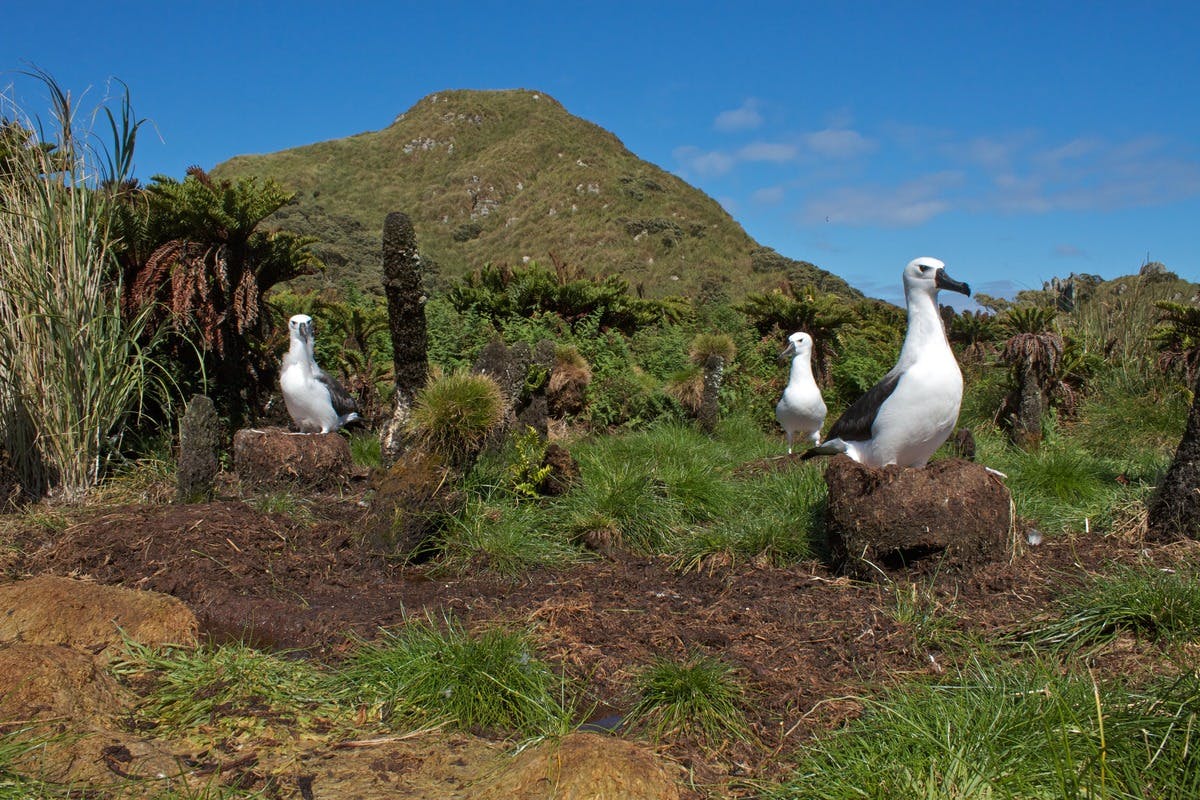
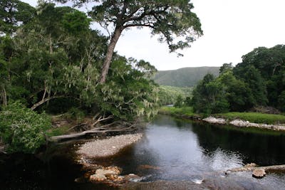
Tristan Volcanic Islands (AT1)
Total Land Area (1000 ha): 17 Number of Ecoregions: 1 Protection Target: 48% Protection Level: 10The Tristan Volcanic Islands bioregion, located on the western edge of the Afrotropics realm, is a single ecoregion of small islands in the far south of the Atlantic Ocean.

-
-
-
West African Coastal Forests & Savanna (AT19)
Total Land Area (1000 ha): 114,038 Number of Ecoregions: 7 Protection Target: 21% Protection Level: 8The West African Coastal Forests & Savanna bioregion, located in the Equatorial Afrotropics subrealm, consists of tropical coastal forests and mangroves as well as Guinean mountain forests and forest-savanna and contains seven ecoregions.
-
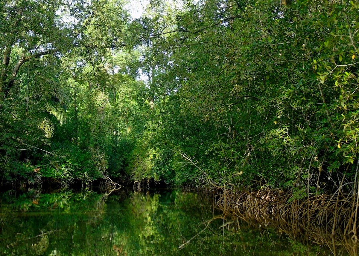
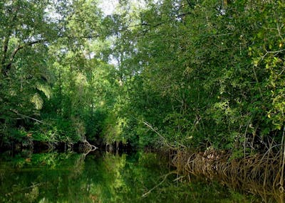
Gulf of Guinea Coastal Forests & Mangroves (AT17)
Total Land Area (1000 ha): 37,659 Number of Ecoregions: 8 Protection Target: 57% Protection Level: 4The Gulf of Guinea Coastal Forests & Mangroves Bioregion, located in the Equatorial Afrotropics subrealm, consists of lush tropical forests and mangroves lining the coastline of Gabon, Equatorial Guinea, Cameroon, and Nigeria, and includes Bioko, São Tomé, Príncipe, and Annobón islands. It contains eight ecoregions.
-
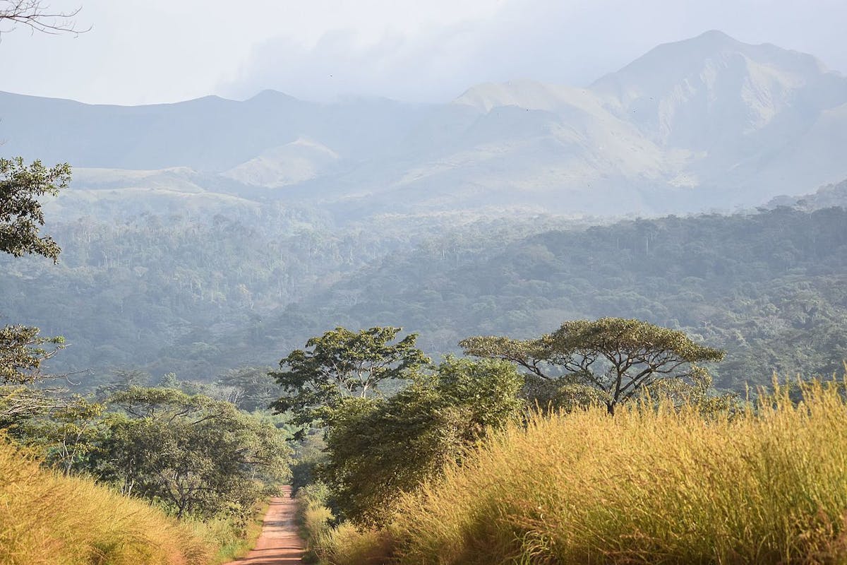
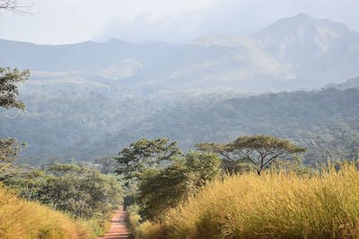
Mandara Mountain & North Congolian Forest-Savannas (AT16)
Total Land Area (1000 ha): 74,579 Number of Ecoregions: 2 Protection Target: 16% Protection Level: 9North Congolian Forest-Savannas bioregion, located in the Equatorial Afrotropics subrealm, includes the Cameroon Highlands to the west and extends above the Congolian lowland forests to the Sudd in the east. It contains two ecoregions totaling approximately 74.5 million hectares.
-

Cape Verde Islands (AT24)
Total Land Area (1000 ha): 457 Number of Ecoregions: 1 Protection Target: 3% Protection Level: 9The Cape Verde Islands bioregion, located in the Afrotropics realm, contains the group of ten volcanic islands off the coast of Senegal and is defined by one dry forest ecoregion with a total land area of approximately 450,000 hectares.
-
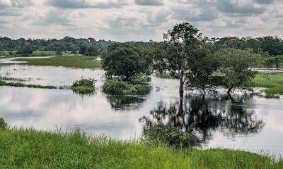
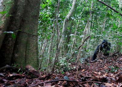
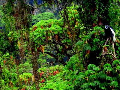
North Congolian Lowland Forests (AT15)
Total Land Area (1000 ha) : 95,083 Number of Ecoregions: 2 Protection Target: 83% Protection Level: 2The North Congolian Lowland bioregion, located in the Equatorial Afrotropics subrealm, includes the densely forested lowland areas above the Congo River, bounded to the east by the Albertine Rift. It is divided into western and eastern halves and is made up of two major ecoregions totaling 95 million hectares.
-
Central Congolian Tropical Forests (AT14)
Total Land Area (1000 ha): 63,752 Number of Ecoregions: 3 Protection Target: 91% Protection Level: 3The Central Congolian Tropical Forests bioregion, located in the Equatorial Afrotropics subrealm, is in the Cuvette Centrale region of the Congo Basin, south of the Congo River. It is made up of three ecoregions totaling nearly 64 million hectares.
-
South Congolian Forest-Savannas & Coastal Scarp (AT13)
Total Land Area (1000 ha): 94,593 Number of Ecoregions: 2 Protection Target: 17% Protection Level: 3The South Congolian bioregion, located in the Equatorial Afrotropics subrealm, covers the area between the northern coast of Angola and mountains in the east of DRC, running along the Albertine Rift. It contains two ecoregions and adjacent marine areas.
-
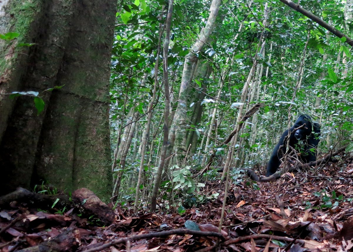
Victoria Basin & Albertine Rift Forests (AT12)
Total Land Area (1000 ha) : 31,906 Number of Ecoregions: 3 Protection Target: 21% Protection Level: 6The Victoria Basin bioregion, located in the Equatorial Afrotropics subrealm, is centered on Lake Victoria at the border between Kenya, Tanzania, and Uganda, and the surrounding forest-savanna. It contains three ecoregions.
-
-
-
St. Helena & Ascension Islands (AT18)
Total Land Area (1000 ha): 22 Number of Ecoregions: 2 Protection Target: 32% Protection Level: 10The St. Helena & Ascension bioregion is part of the Sub-Equatorial Afrotropics subrealm and comprises a grouping of small volcanic islands in the middle of the Atlantic Ocean more than 800 nautical miles from the Gulf of Guinea. It contains two ecoregions.

-

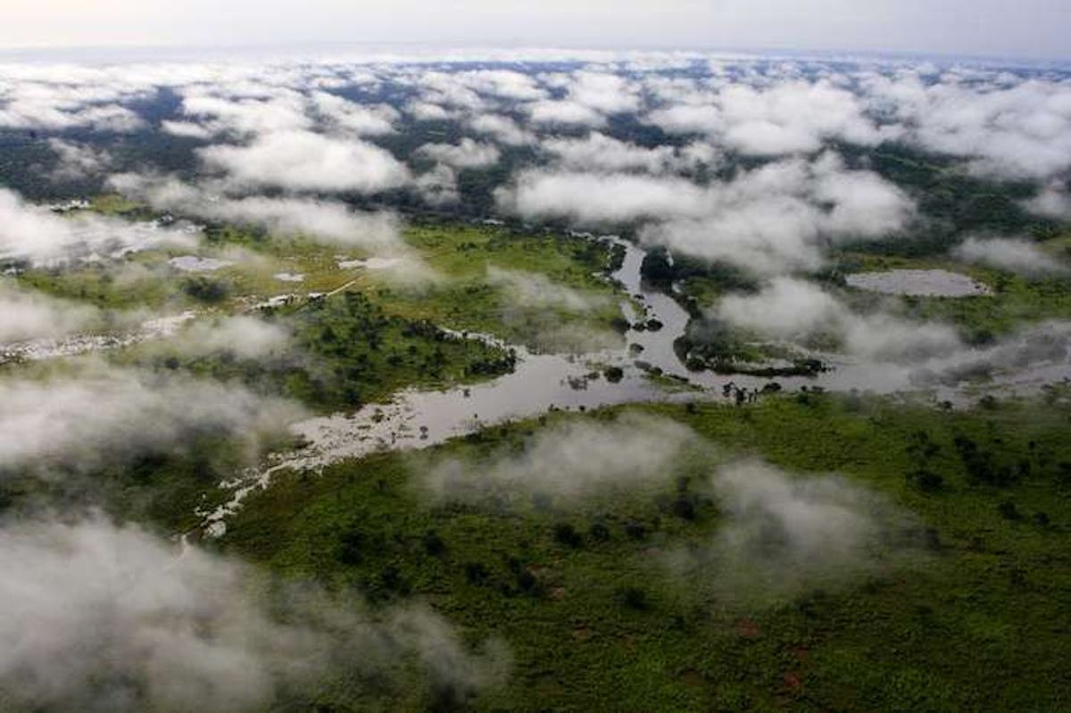
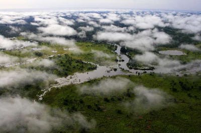
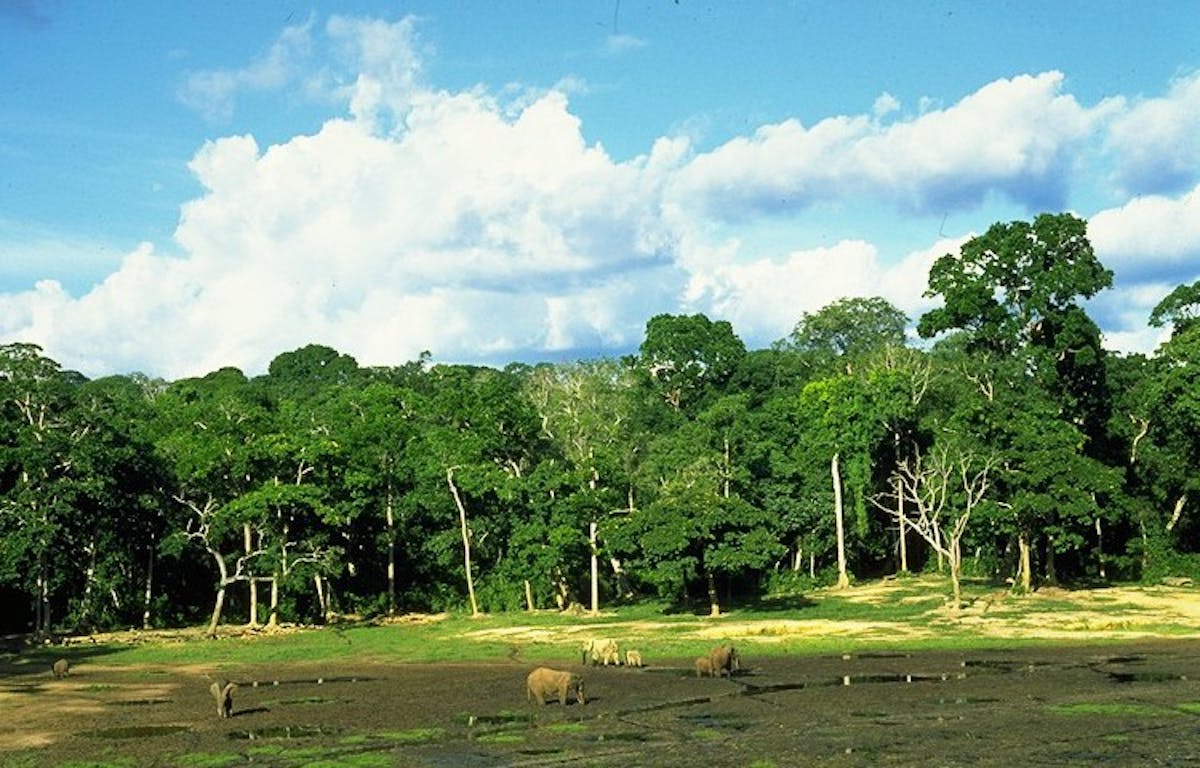
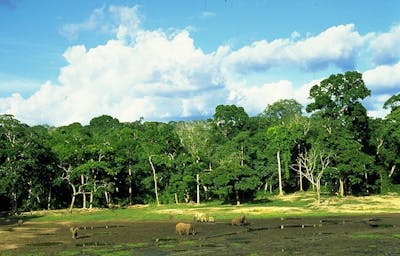
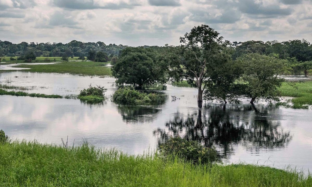
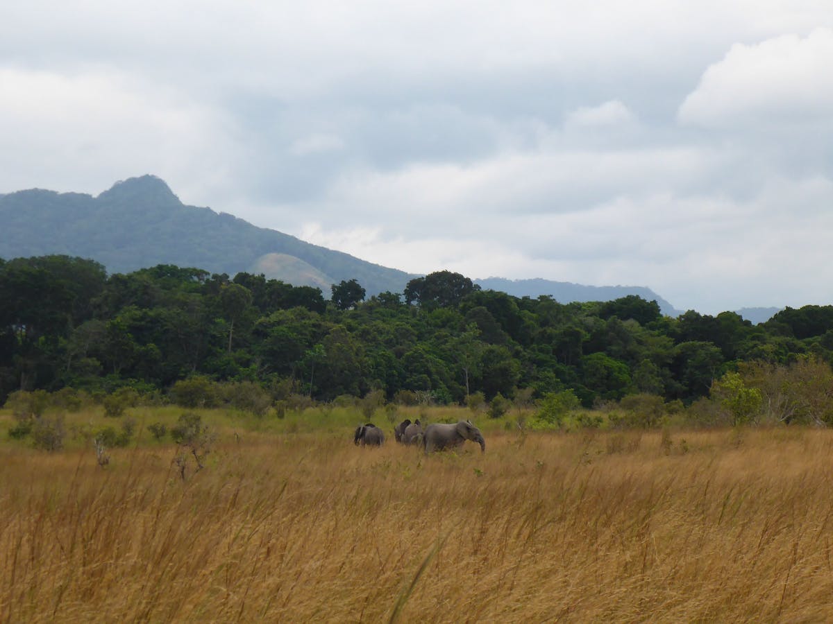
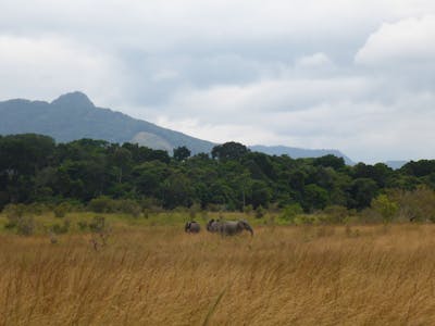
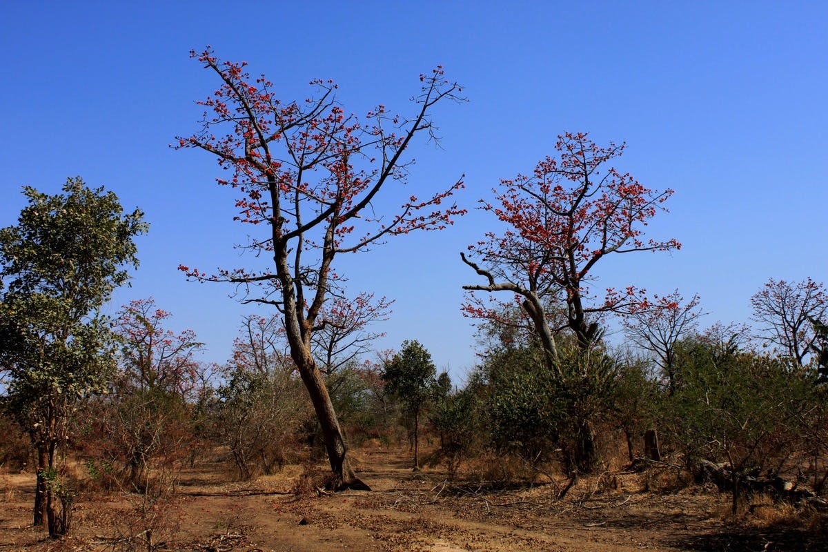
Greater African Subequatorial Savannas & Mixed Woodlands (AT11)
Total Land Area (1000 ha): 450,016 Number of Ecoregions: 20 Protection Target: 35% Protection Level: 7The Greater African bioregion is the largest in the Afrotropics realm, covering the entire width of the continent from the drylands and grasslands of southern Africa north to the beginning of the Equatorial forest zone, extending to the southern shore of Lake Victoria. The bioregion contains 20 distinct ecoregions.
-
-
-
Mascarene Tropical Forest Islands (AT4)
Total Land Area (1000 ha): 496 Number of Ecoregions: 1 Protection Target: 52% Protection Level: 7The Mascarene bioregion, located in the Madagascar & Eastern Afrotropics subrealm, is an archipelago of islands in the Indian Ocean just east of Madagascar, which includes Mauritius, Réunion, and Rodrigues, plus a variety of reefs, atolls, and small islands.
-

Amsterdam-Saint Paul Islands (AT3)
Total Land Area (1000 ha): 7 Number of Ecoregions: 1 Protection Target: 99% Protection Level: 10The Amsterdam-Saint Paul bioregion, located in the far south of the Indian Ocean, is at the furthest edge of the Afrotropics realm, at the transition between the Indomalayan and Antarctic realms. Its two islands are dominated by temperate grasslands, with one single ecoregion and adjacent marine areas.
-

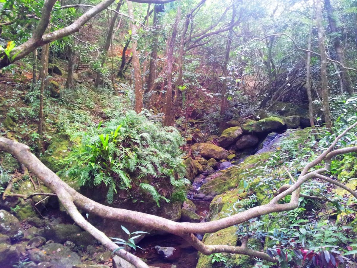
East African Coastal Forests (AT7)
Total Land Area (1000 ha) : 35,825 Number of Ecoregions: 7 Protection Target: 23% Protection Level: 7The East African Coastal bioregion, located in the Afrotropics realm, extends in a narrow band nearly the entire length of Africa’s eastern coast. It consists of tropical and subtropical moist forests, including seven ecoregions.
-
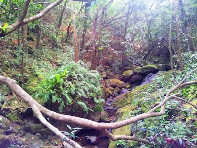
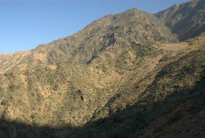
Madagascar Island (AT6)
Total Land Area (1000 ha) : 59,466 Number of Ecoregions: 8 Protection Target: 24% Protection Level: 2The Madagascar bioregion, located in the Afrotropics realm, is separated from the African continent by the Mozambique Channel, dominated by humid tropical forests in the east, drylands in the south, and dry forests in the north. It contains eight ecoregions.
-
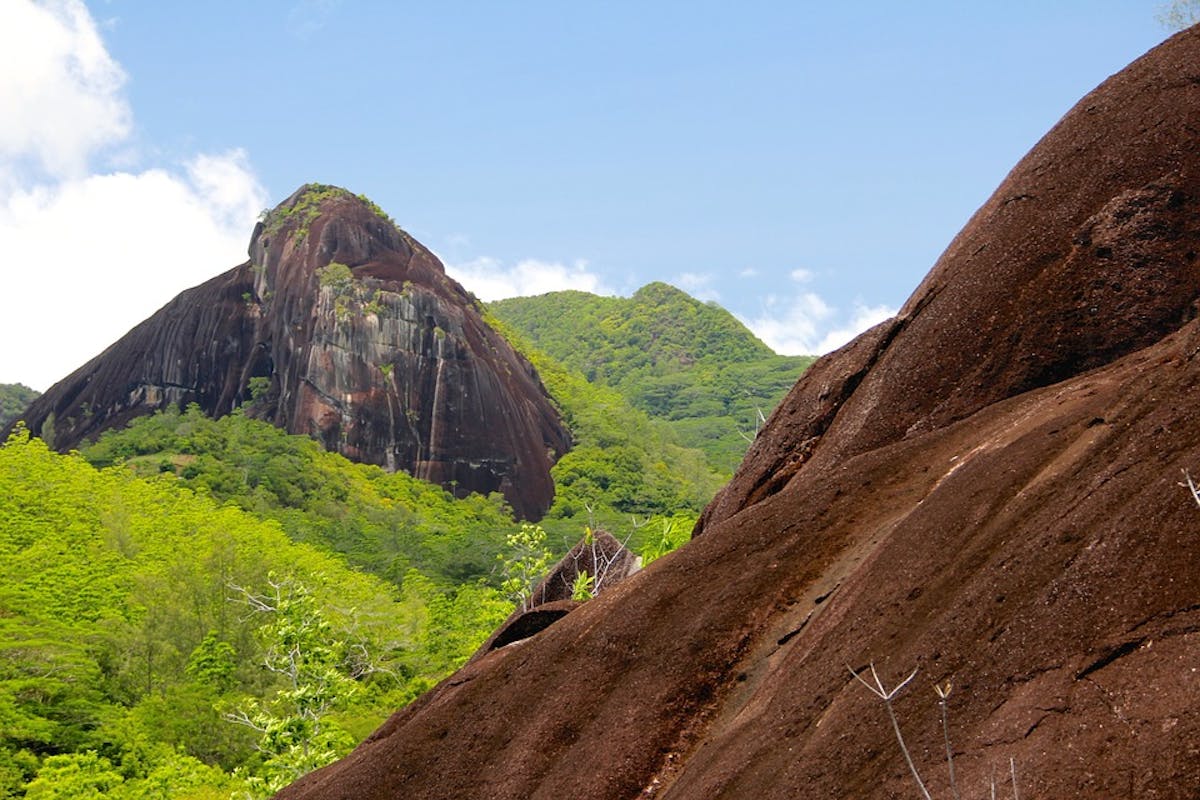
Seychelles & Comoros Tropical Islands (AT5)
Total Land Area (1000 ha): 254 Number of Ecoregions: 3 Protection Target: 94% Protection Level: 2The Seychelles & Comoros bioregion, located in the Afrotropics realm, consists of two archipelagos of islands in the Indian Ocean north of Madagascar and contains three ecoregions covering an area of approximately 250,000 hectares, not including reefs and adjacent marine areas.

-
-
-
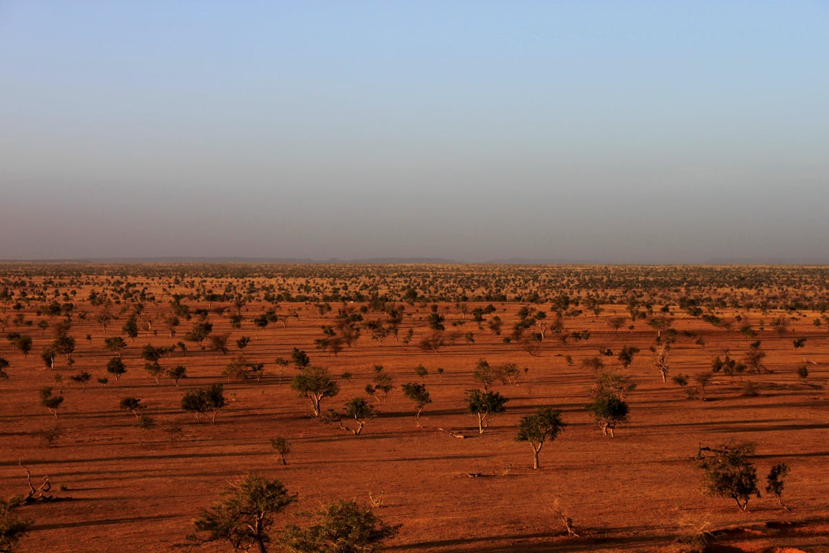
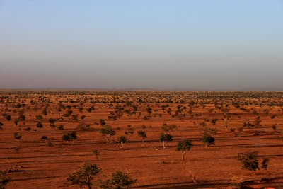
Sahel Acacia Savannas (AT23)
Total Land Area (1000 ha): 376,823 Number of Ecoregions: 3 Protection Target: 27% Protection Level: 4The Sahel Acacia Savannas bioregion, located in the Sub-Saharan Afrotropics subrealm, consists of three ecoregions with a land area of nearly 377 million hectares.
-
West Sudanian Savanna (AT20)
Total Land Area (1000 ha): 290,203 Number of Ecoregions: 4 Protection Target: 21% Protection Level: 9The Sudanian Savannas bioregion, located in the Sub-Saharan Afrotropics subrealm in the Afrotropics, is made up of four ecoregions—the West Sudanian Savanna, East Sudanian Savannas, Mandara Plateau woodlands, and the Sudd flooded grasslands.
-
-
-

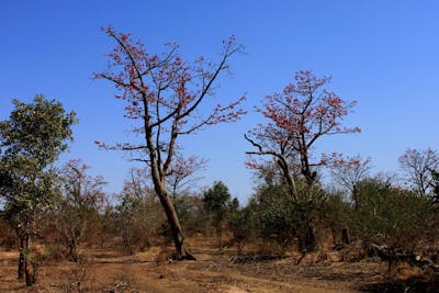
South Red Sea & Gulf of Aden Coastal Drylands (AT22)
Total Land Area (1000 ha): 78,023 Number of Ecoregions: 12 Protection Target: 22% Protection Level: 3The South Red Sea & Gulf of Aden Coastal Drylands bioregion, located in the Horn of Africa subrealm, consists of 12 ecoregions encompassing the Horn of Africa, the southern Red Sea, and Aden Sea, and the southernmost tip of the Arabian Peninsula.
-
Lake Turkana-Sudd Grasslands, Bushlands & Forests (AT21)
Total Land Area (1000 ha): 157,016 Number of Ecoregions: 8 Protection Target: 27% Protection Level: 5The Somali Bushlands & Ethiopian Highlands bioregion is located in the Horn of Africa subrealm in the Afrotropics and is made up of eight ecoregions. The land area, covering over 157 million hectares, mostly consists of bushlands but also includes Ethiopian mountain forests, grasslands, and moorlands.
-