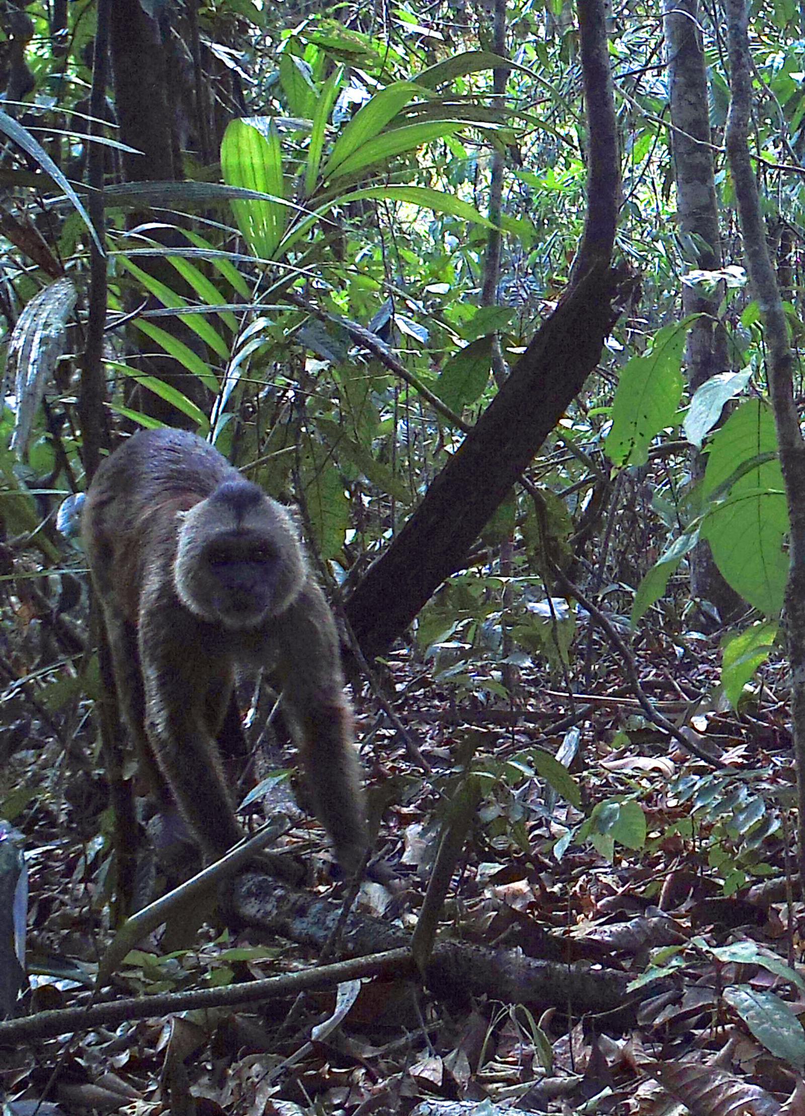
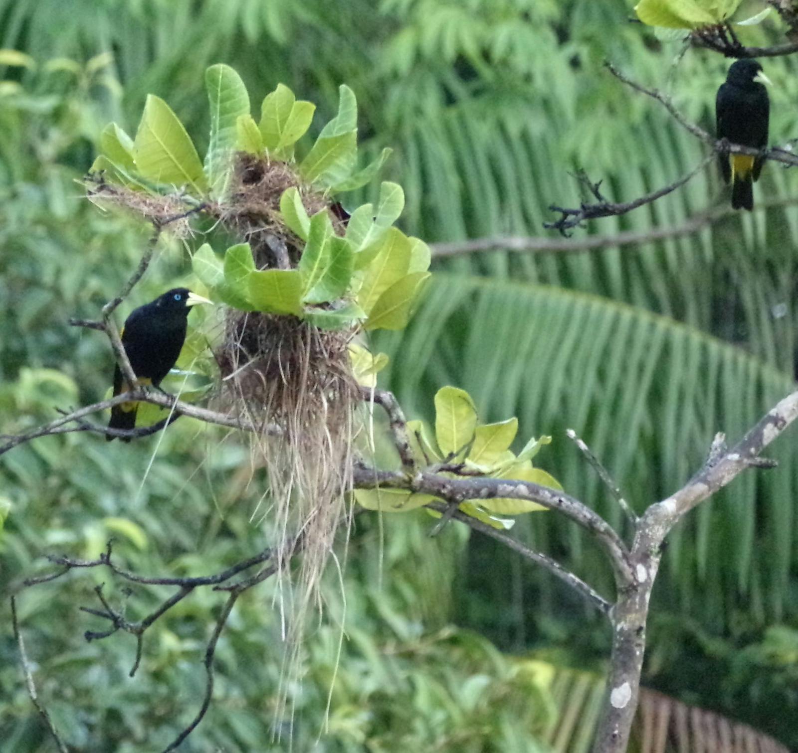
Tocantins/Pindare Moist Forests
The ecoregion’s land area is provided in units of 1,000 hectares. The conservation target is the Global Safety Net (GSN1) area for the given ecoregion. The protection level indicates the percentage of the GSN goal that is currently protected on a scale of 0-10. N/A means data is not available at this time.
Bioregion: Amazon River Estuary (NT16)
Realm: Southern America
Ecoregion Size (1000 ha):
19,406
Ecoregion ID:
508
Conservation Target:
55%
Protection Level:
3
States: Brazil
The endangered green-thighed parrot is endemic to Brazil, and an important community member in the Tocantins/Pindare Moist Forests ecoregion. They prefer várzea (seasonally flooded) habitat which has abundant palms and many other large seeded trees, which offer their favorite food. With a lifespan of up to 40 years, these parrots build up long term memories of the best routes between fruiting trees and will pass that knowledge onto their young. As with many other species in the forest, the parrots migrate into terre firme (higher ground) areas whenever the várzea forest is flooded. It is possible for animals to become isolated on these hilltop islands for weeks or months at a time.
.jpg)
The flagship species of the Tocantins/Pindare Moist Forests ecoregion green-thighed parrot. Image credit: Creative Commons
In the Brazilian State of Pará, the ecoregion extends west to the Tocantins River and south to the Mearim River in Maranhão State. Most part of the ecoregion lies on a flat alluvial plain which has been heavily influenced by the dynamics of the Amazon River over geologic history; a number of rivers run through its boundary. The low hills (<200 m) of the Serra do Tiracambu and Serra do Gurupi rise in the southwest. Temperature averages 26°C and annual rainfall ranges from 1,500mm in the south to 2,500 in the north. A pronounced dry season brings less than 100 mm of rain per month for about five months. This is particularly true in northwest Maranhão.
The soils are mostly poor, deeply weathered clay. Three main forest types occur here: terra firme (upland non-flooded forest), igapó forest—flooded daily by blackwater rivers that contain no suspended solids—and várzea forest—flooded daily by whitewater rivers that contain suspended organic and mineral materials. The soils of the igapó forest are white sand, acidic, and poor in nutrients, of which the vegetation are evolved to be tolerant.
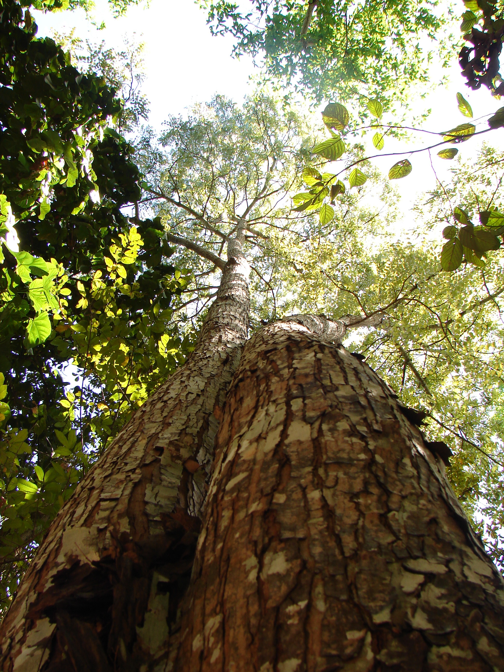
Mahogany. Image credit: Creative Commons
In the flooded forests, trees are less diverse and shorter than those in the terra firme forests. Common vegetation in flooded areas includes baboonwood tree, açaí palm, and Symphonia globulifera (a timber tree). Prominent trees in the terra firme include Brazil nut tree, Lecythis odora, and Cenostigma tocantina. Rare or threatened trees in the area include jaborandi, mahogany, and Dicypellium caryophyllatum—a timber tree whose bark contains a pleasant-smelling essential oil.
The avifauna hosts 517 bird species. Out of the 149 mammals recorded in this region, more than 80 are bats. Mammals of note include bearded saki, howler monkey, red-handed tamarin, brown throated sloth, Linné's two-toed sloth, and nine-banded armadillo. The rivers host a great number of fish and aquatic reptiles. More than 76 species of snakes are found here.
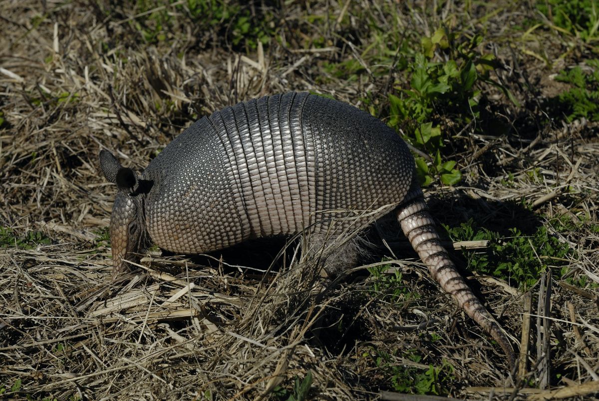
Nine banded armadillo. Image credit: Hans Stieglitz, Creative Commons
This is one of the most developed areas of Amazonia with several highways connecting the important cities of Belém, Paragominas, and Bragança. These roads attract large-scale industry and development projects. At least one-third of the original forests have been cleared and much has been degraded. The region is now defined by a mosaic of forest remnants, cattle pastures, agricultural fields, secondary forests, and sprawling urban areas. A great many species are threatened and made rare by deforestation.
The Tucuruí Dam on the Rio Tocantins below the city of Marabá has flooded low-lying forest and displaced human residents. Several small protected areas are established here, notably the Caxiuanã National Forest. There is a small amount of frontier forest remaining.

Brown throated sloth. Image credit: Stefan Laube, Creative Commons
Human settlement along roads and rivers, expansion of agriculture, cattle ranching, and urban sprawl threaten the natural habitats of this region. Fire is used as a tool to clear forested area and to facilitate these activities, and it poses the most serious threat to the integrity of the forest ecosystems. Drought and erosion in pastures created an environment inhospitable to rain forest tree seedlings, therefore hindering any regeneration.
The priority conservation actions for the next decade will be to: 1) promote the integration of natural vegetation in agriculture; 2) provide an economic incentive for sustainable local development; and 3) establish corridors to connect the remaining patches of forest.
Citations
1. Sears, R. 2019. South America: Eastern extreme of the Amazon basin in Brazil https://www.iucnredlist.org/species/62181308/95191855 Accessed June 9, 2019.
2. Nepstad, D. C., P. R. Moutinho, C. Uhl, I. C. Vieira, and J. M. da Silva. 1996. The ecological importance of forest remnants in an eastern Amazonian frontier landscape. Pages 133-150 in J. Schelhas and R. Greenberg, editors, Forest Patches in Tropical Landscapes. Washington, DC: Island Press.
3. Ducke, A., and G. A. Black. 1953. Phytogeographical notes on the Brazilian Amazon. Anais da Academia Brasileira de Ciências 25: 1-46.
4. BirdLife International 2016. Pionites leucogaster. The IUCN Red List of Threatened Species 2016: e.T62181308A95191855. http://dx.doi.org/10.2305/IUCN.UK.2016-3.RLTS.T62181308A95191855.en. Accessed June 9, 2019.
