
Upper Gangetic Plains Moist Deciduous Forests
The ecoregion’s land area is provided in units of 1,000 hectares. The conservation target is the Global Safety Net (GSN1) area for the given ecoregion. The protection level indicates the percentage of the GSN goal that is currently protected on a scale of 0-10. N/A means data is not available at this time.
Bioregion: North Indian Tropical Forests & Sundarbans (IM6)
Realm: Indomalaya
Ecoregion Size (1000 ha):
26,368
Ecoregion ID:
287
Conservation Target:
3%
Protection Level:
4
States: India
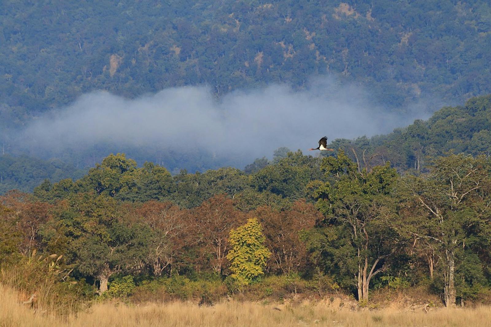
There was a time in the past when the Upper Gangetic Plains Moist Deciduous Forests supported an impressive fauna consisting of tigers, greater-one horned rhinoceros, Asian elephants, gaur, wild water buffalo, and swamp deer that roamed the forested landscapes. Large hornbills would have made their morning flights to feeding areas, to return late in the evenings to the mature groves where they roost.
Today the natural biodiversity of this ecoregion has been replaced by one of the densest human populations on Earth. The fertile alluvial plains of the Ganges River have been cleared and intensely cultivated. So little of the original natural forest remains that it is difficult for even experienced botanists to assign a particular vegetation type to the region with any confidence.
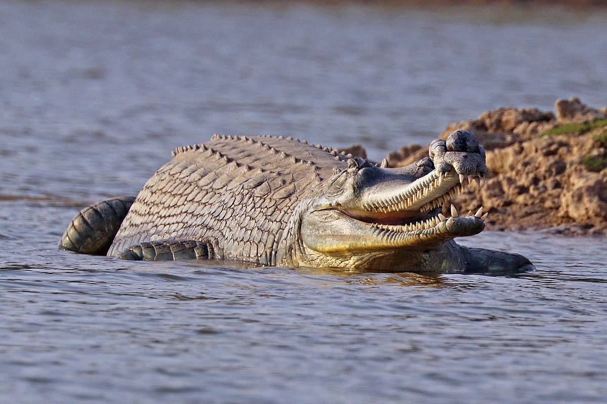
The flagship species of the Upper Gangetic Plains Moist Deciduous Forests ecoregion is the gharial crocodile. Image credit: Creative Commons
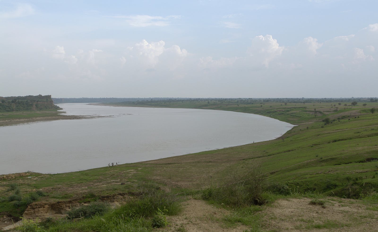
The ecoregion lies along one of Asia’s largest and most sacred rivers, the Ganges, or Ganga. Originating in the far western Himalayas of India, the river flows east along the base of the mountain range to become confluent with the Brahmaputra, another large Indian river, before both head south together to the Bay of Bengal.
Annual rainfall in the ecoregion averages less than 500 mm, but there is a gradient of high rain to low rainfall from east to west, and into the mountains. There is hardly any topographic relief, except for the sloping banks and ravines carved by the river. The substrate consists of deep alluvial soils, washed down by the rivers and deposited in the floodplain during floods. In some places this layer of deposited mud and silt can be more than 6 km deep.
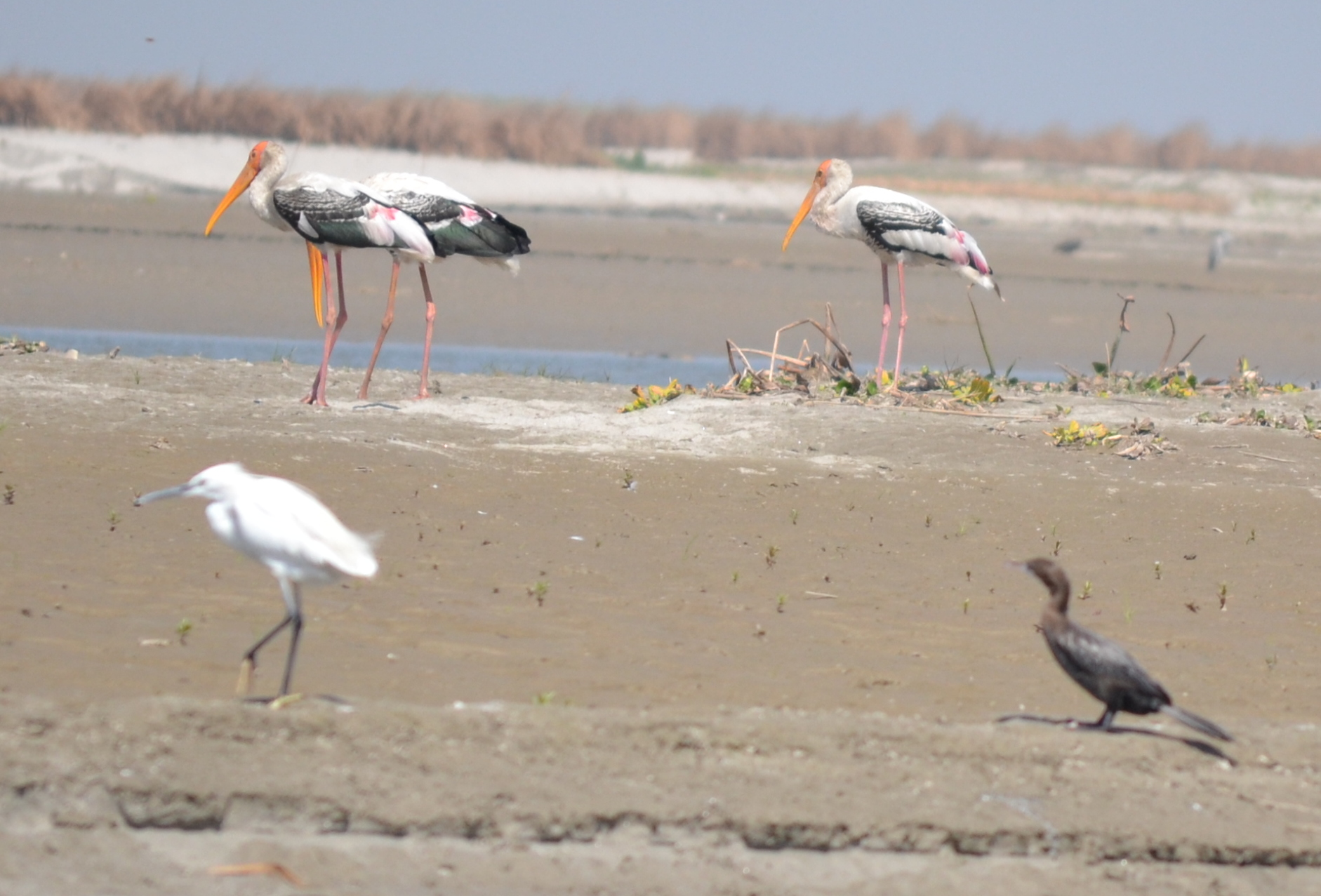
Migratory birds at Hastinapur. Image credit: Creative Commons
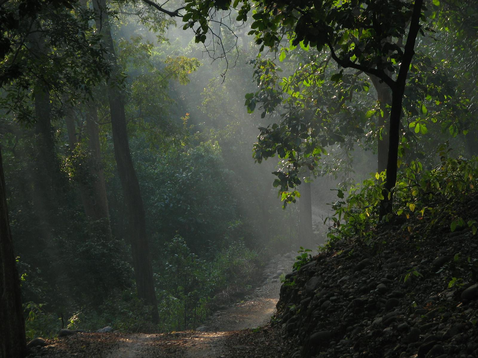
The remaining scattered forest fragments suggest that the forests were once dominated by Sal, or Shorea robusta, a widespread species in this region, in association with Terminalia, Lagerstroemia, Adina, Dillenia, and Ficus, all part of the ‘typical’ deciduous forests in this sub-Himalayan region. Patches of grasslands dominated by tall Saccharum grasses, wild sugar cane, could be found where the floodwaters prevented trees from taking hold.
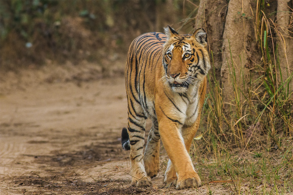
Bengal tiger. Image credit: Soumyajit Nandy, Creative Commons
This patchwork of forests and Saccharum-dominated grasslands had provided nourishing food for deer and wild boar, allowing them to thrive and support dense populations of large predators, especially the tiger. These species are now mostly extirpated here, victims of extensive habitat conversion.
Almost 300 bird species have been recorded from the ecoregion and the present-day fauna includes the globally threatened Indian bustard and lesser florican. The Ganges River supports the freshwater Gangetic dolphins and Gharial crocodile, and the associated wetlands near the Ganges and its confluent rivers support a rich and diverse waterfowl community.
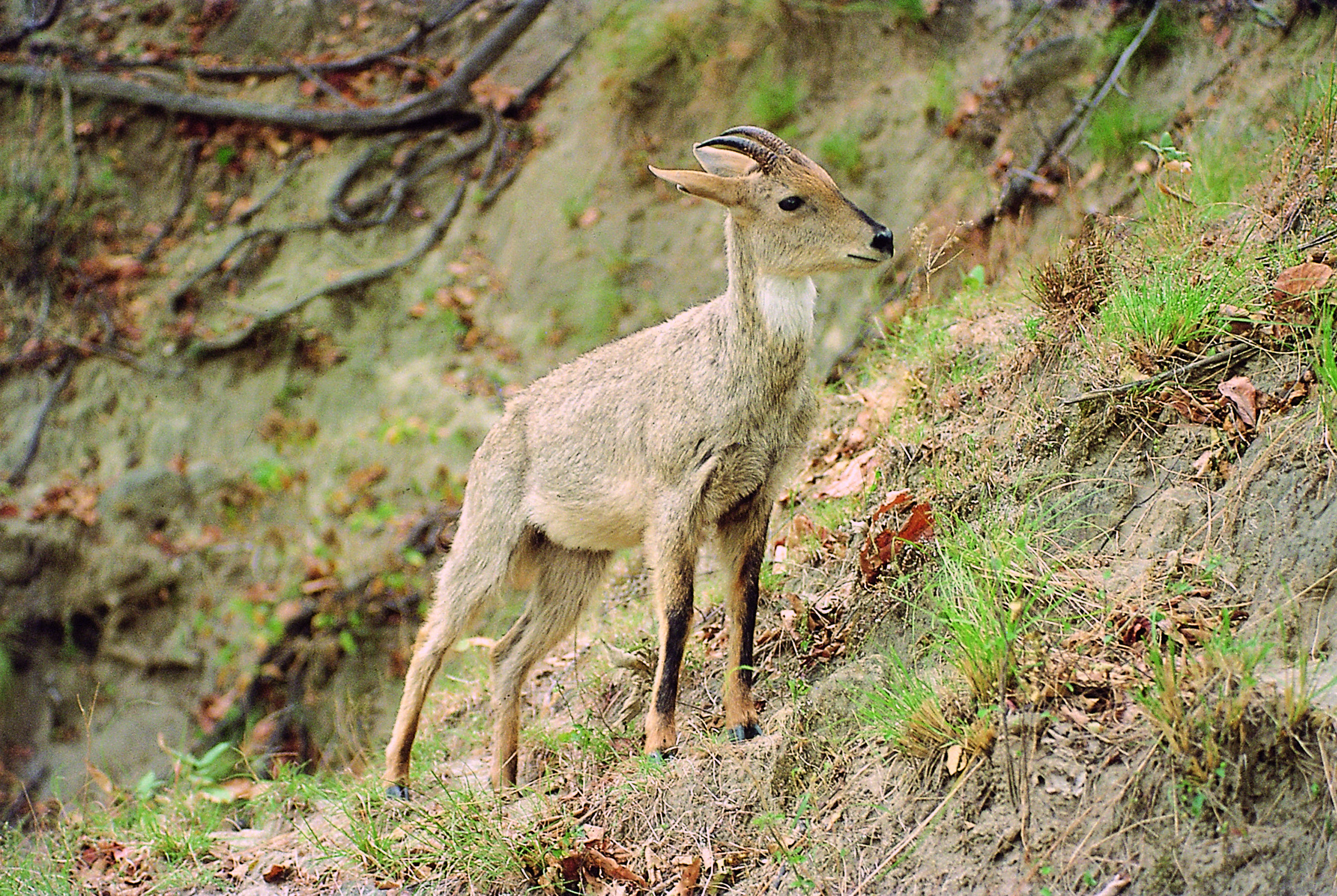
A male goral in Rajaji. Image credit: JT Johnsingh, Creative Commons
The remaining natural forests are protected in the Rajaji, Corbett, and Dudwa national parks. Corbett National Park is Asia’s oldest protected area, established in 1936 as Hailey National Park specifically to protect tigers. It was renamed after Jim Corbett, a legendary British hunter who became a conservationist and author of several books documenting his exploits tracking down man-eating tigers and leopards in India during the early 20th century.
Because most of the ecoregion is densely settled and cultivated, conservation actions are limited to salvaging what remains. The priority conservation actions should be to: 1) protect and restore critical corridors that link existing protected areas, especially those that support tigers and elephants; 2) stop encroachment into the protected areas and potential corridors, once they have been identified; and 3) engage local stakeholders to strengthen the awareness of and support for conservation projects.
Citations
1. Wikramanayake, E, E. Dinerstein, et al. 2002. Terrestrial Ecoregions of the Indo-Pacific: A Conservation Assessment. Island Press.
2. Duthie, J.F., 1973. Flora of the Upper Gangetic Plain and of the Adjacent Siwalik and Sub-Himalayan Tracts. Bishen Singh Mahendra Pal Singh.
3. Tiwari, P.C., 2000. Land-use changes in Himalaya and their impact on the plains ecosystem: need for sustainable land use. Land Use Policy, 17(2), pp.101-111.

Subscribe to receive monthly updates on climate solutions, environmental heroes, and the profound beauty and wonder of our shared planet Earth.
