Vanuatu Rainforests
The ecoregion’s land area is provided in units of 1,000 hectares. The protection goal is the Global Safety Net (GSN1) area for the given ecoregion. The protection level indicates the percentage of the GSN goal that is currently protected on a scale of 0-10. N/A means data is not available at this time.
Bioregion: Vanuatu Islands (AU11)
Realm: Australasia
Ecoregion Size (1000 ha):
1,323
Ecoregion ID:
159
Protection Goal:
77%
Protection Level:
1
States: Vanuatu, Solomon Islands
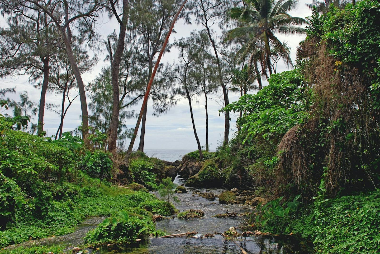
Vanuatu’s rain forests cover more than eighty true oceanic islands of volcanic or uplifted limestone origin. The isolation of these islands has filtered out many groups of plants and animals, resulting in a fauna dominated by bats, pigeons, and rodents. The plants and animals are less diverse than the adjacent Solomon Islands, where much of the Vanuatu biota is derived.
This ecoregion consists of tropical lowland and montane forests in the island nation of Vanuatu (formerly New Hebrides), with the addition of the Santa Cruz Group, or Temotu Province of the Solomon Islands. The climate of Vanuatu is tropical wet, although leeward slopes of islands experience a distinct dry season that may last from April to October. The highest point in Vanuatu is 1,879 meters (Espiritu Santo Island), but most of the islands are low-lying.

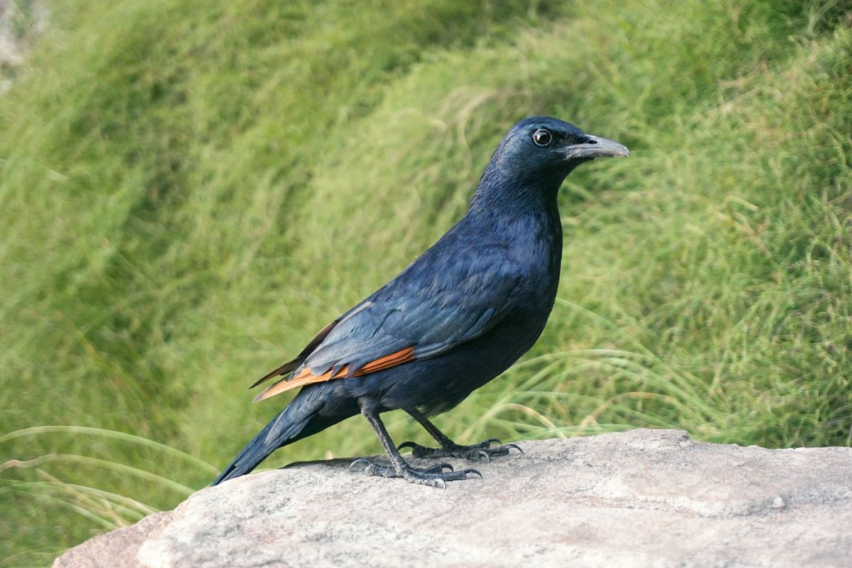
Redwing starling. Image credit: Wikipedia, Kallerna (CC by 4.0)
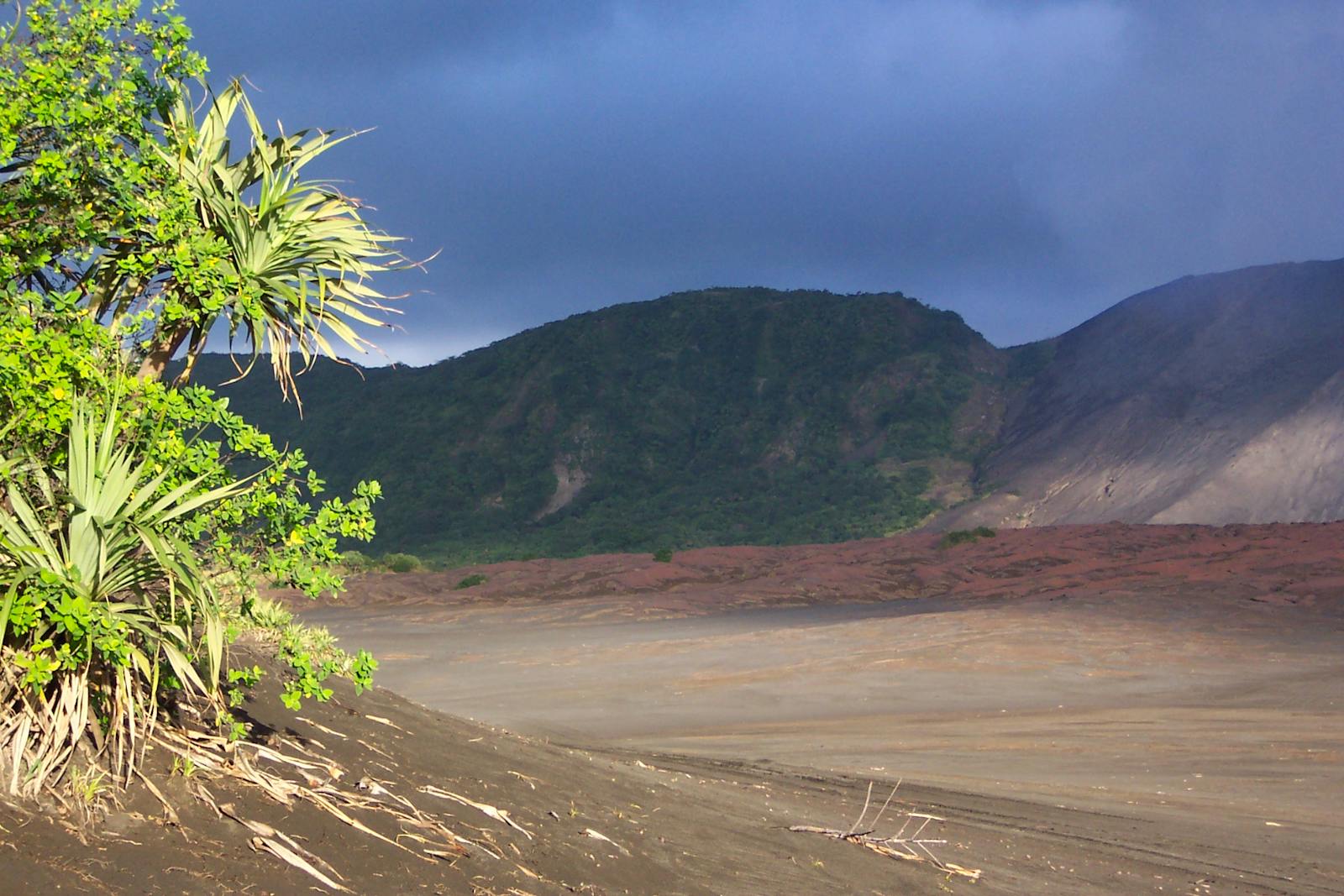
Natural vegetation in the rest of Vanuatu changes with altitude, substrate, and aspect and can be broadly classified into lowland forest, montane forest, seasonal forest and scrub, vegetation on new volcanic surfaces, coastal vegetation, and secondary vegetation. Several ancient gymnosperm trees occur in Vanuatu, including Agathis, Dacrydium, and Podocarpus. Metrosideros, Gmelina, Santalum, Callophylum, and Paranari are representative of other tree families in the forests.
The forests are less diverse than those in the nearby Solomon Islands, and they have greater affinities with Solomon forests and Fijian forests far to the east than to those of New Caledonia just to the south. Vanuatu is regularly hit by strong cyclones, and the forests are widely impacted through blowdowns and landslips, with strong winds resulting in a canopy with few emergent trees.
Bats are the only native mammals, and almost all have New Guinea origins. Six are endemic or near-endemic. Of these endemic and near-endemic species, the Fijian blossom-bat and Banks flying-fox are considered vulnerable, and the Nendö tube-nosed bat is presumed to be extinct (IUCN 2000). There are seventy-nine bird species in Vanuatu, of which an amazing thirty species are endemic or near-endemic, including the Vanuatu colorful royal parrotfinch and the white-eyed Santo Mountain startling.
Montane forests in the center of the islands remain as the refuge for native biodiversity. Nearly a third of the islands still have highland areas covered in native forests. Establishing protected areas is problematic because of customary land rights. There are a few though they have customary rights associated with them―Efate Forest Conservation Area, Pankumo Protected Area, Kauri Reserve of Erromango, Vatthe Conservation Area in Santo, and Western Peninsular Forest Conservation Area are a few, but, collectively, they cover only four percent of the land area.
Much of the coastal and lowland forest has been cleared for settlement and traditional and commercial agriculture (cacao). Logging of lowland and foothill forests, particularly for kauri and sandalwood, is widespread and ongoing. Logging roads provide access into native forests by invasive rats, feral cats, feral pigs, feral dogs, mynah birds, introduced Merremia and Mikania vines, and introduced ants. Wasmannia ants from the Neotropics are causing great ecological damage in degraded areas and in the margins of native forests. The introduction of African snails and Indian mynah birds also impacts native species. Hunting of fruit bats is reducing their populations.
Community-based conservation initiatives are the best model for the archipelago. Twenty-seven Key Biodiversity Areas (KBAs) have been identified, including Futuna, Gaua, Green Hill, Santo Mountain Chain, and Tongoa-Laika.
Priority conservation actions for the next decade
- Expand the protected area network in the region through government and community-based approaches, especially around the identified KBAs.
- Regulate logging activities and restrict extraction in important habitats.
- Initiate and strengthen invasive species control to minimize their impact on native wildlife and habitats.
-
-
- CEPF. 2012. Ecosystem Profile: East Melanesian Islands Biodiversity Hotspot. Critical Ecosystem Partnership Fund, Washington DC.
- Davis SD, VH Heywood, AC Hamilton (eds). 1994-1997. Centres of plant diversity: a guide and strategy for their conservation. World Wide Fund for Nature (WWF) and ICUN - World Conservation Union, Cambridge.
- Green PS. 1979. Observations on the phytogeography of the New Hebrides, Lord Howe Island and Norfolk Island. Pp 41-53 in Bramwell D (ed) Plants and islands, Academic Press, London
-


