
Yucatan Moist Forests
The ecoregion’s land area is provided in units of 1,000 hectares. The protection goal is the Global Safety Net (GSN1) area for the given ecoregion. The protection level indicates the percentage of the GSN goal that is currently protected on a scale of 0-10.
Bioregion: Yucatan & Veracruz Mixed Forests (NT27)
Realm: Central America
Ecoregion Size (1000 ha):
6,985
Ecoregion ID:
519
Conservation Target:
78%
Protection Level:
3
States: Mexico, Guatemala, Belize
The Yucatán black howler monkey can be found in and around this moist forest ecoregion. This folivorous primate is diurnal and arboreal and can spend up to 70% of the day just lounging among the upper branches of trees digesting leaves. Their molar teeth are adapted for shearing up leaves, which with fruit make up most of their diet. As a result they spend a lot of their energy and time to digest the leaves and detoxify the compounds they consume. Howler monkeys are known for their specialized voice boxes and their “larger than life” calls, generally synchronized in group chorus in the early morning that can be heard for miles.
.jpg "Black howler monkey swinging from trees. Photo ID 117739879 © THPStock | Dreamstime.com")
The flagship species of the Yucatan Moist Forests ecoregion is the Yucatán black howler monkey. Image credit: Bernard Dupont, Creative Commons
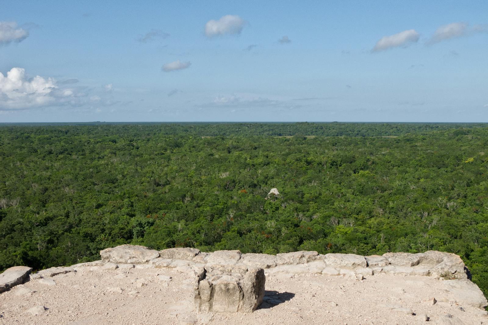
The Yucatán Moist Forests are located at the junction between the physiographical provinces of Petén in the southeast and the Yucatán in the northwest. The area is moderately flat, with elevations no higher than 390 m. The climate is tropical humid, with average precipitation of 1,100–1,300 mm/year. Seasonal temperature fluctuations are minimal.
Soils can be either shallow or deep and are derived from limestone or metamorphic materials; they are characterized by a weak capacity for water retention. Some areas of deep soils are periodically flooded and constitute a source of water for native villagers and wildlife species. Most of the vegetation in this ecoregion is considered as subtropical forest, with fiddlewood tree, Lonchoccarpus yucatanensis, Malmea depressa, and Croton reflexifolius as the dominant vegetative species. Less abundant but characteristic vegetation of the region includes bloodwood tree, bullet tree, sapodilla tree, and Metopium browneii. Herbaceous plants and scrubs are abundant, while irregular hummocks of palm trees are distributed throughout.
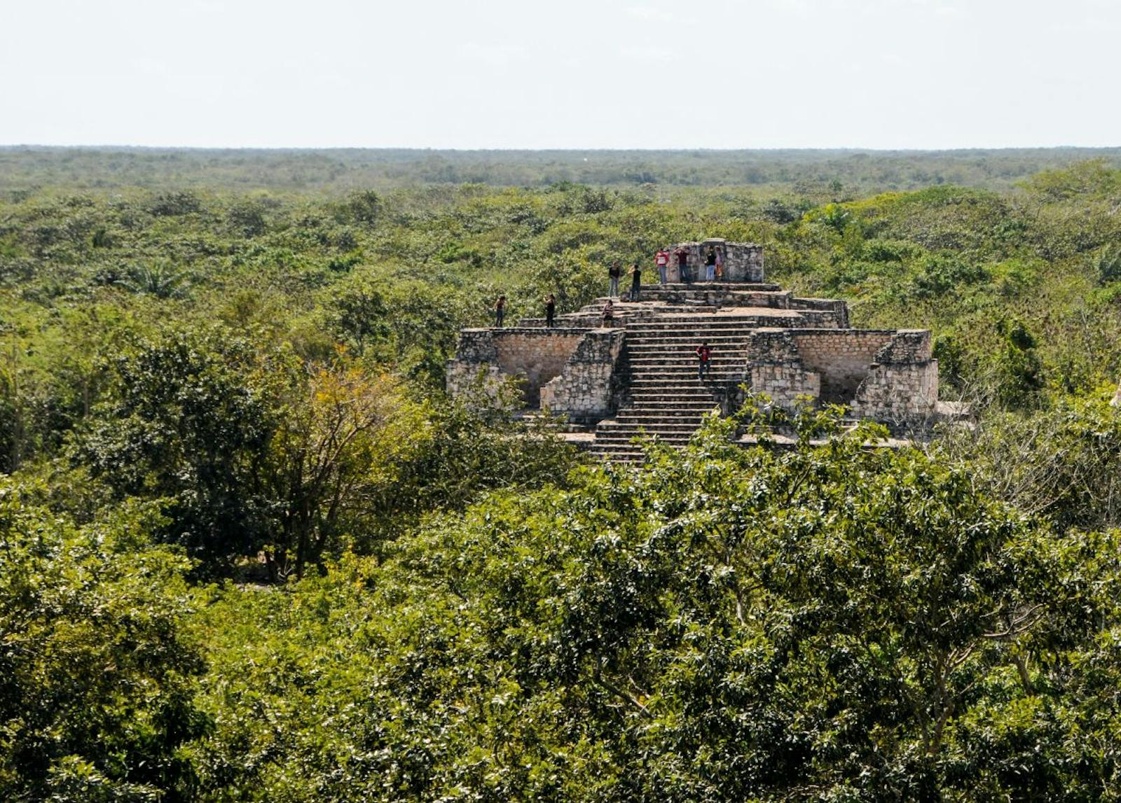
This ecoregion serves as an important biological corridor between the northern Yucatán peninsula and Central America; there are few endemics, although biodiversity is high. It constitutes one of the largest forest areas of the tropical Yucatán. They house a total of 17 species of amphibians, 43 reptiles, 235 birds, and 94 mammals; of the total fauna, approximately 18 species are endemic.
The great curassow, a threatened species throughout Mexico’s tropical forests, is more abundant in this region than anywhere else in Mexico. The southeastern part of the ecoregion is continuously flooded, which allows for an enormous abundance of bryoflora (mosses, liverworts, and hornworts). In addition, these lands constitute the westernmost distribution of the truly tropical pine tree, Pinus caribaea var. hondurensis.
Most of the Yucatán Forests have suffered some degree of perturbation. A great portion of the forest receives federal protection, in the form of several reserves and sanctuaries, including Calakmul and Sian Ka’an. Much of the forest in reserves remains intact, although inadequate zoning and protection of the area prevented proper management in reaching its conservation goals. Some researchers have suggested that a greater portion of Campeche, northwest to the Calakmul Reserve, should also be established as a protected area. This protection along with the southeastern flooded lands of Quitana Roo would connect the moist forests of Belize with the moist forests of Yucatán.
Logging for agricultural and cattle farming purposes has eliminated almost all the forest in the northern part of the Mexican coastal plain. Game hunting threatens many of the already endangered species, and illegal trade of wildlife species is extensive. Forest clearing for roads, and elevated rates of human immigration to the area threaten conservation.
The priority conservation actions for the next decade will be to: 1) integrate natural resource management in the cattle and logging industries for sustainable harvests; 2) increase management capacity and finances in reserves to reduce illegal wildlife trade; and 3) establish a protected area in the greater portion of Campeche, northwest to the Calakmul Reserve.
Citations
1. Valero, A. Schipper, J. Allnutt, T. 2019. Southern North America: Yucatán Peninsula in southern Mexico extending into northern Guatemala, and northern Belize. https://www.worldwildlife.org/ecoregions/nt0181 Accessed May 15, 2019.
2. Garrido-Rodríguez, D. 1990. Reserva de la Biósfera Calakmul, Campeche: problemática y perspectivas. In A.D. Cuarón, P. Balvanera, H.L. Peña, and A. Rojo-Curiel (editors), II Simposio Internacional sobre Areas Naturales Protegidas en México. 2-4 diciembre 1990. Memorias. ENEP-Iztacala, Centro de Ecología, UNAM. 92p.
3. Styles, B.T. 1993. El género Pinus: su panorama en México. Pages 385-408 in T. P.Ramamoorthy, R. Bye, A. Lot, and J. Fa (editors), Diversidad Biológica de México. Mexico: Orígenes y Distribución. Instituto de Biología, UNAM.

Subscribe to receive monthly updates on climate solutions, environmental heroes, and the profound beauty and wonder of our shared planet Earth.
