Using Cutting-edge Technology to Build Community and Climate Resilience in California’s Vulnerable Oak Savanna with Land Tender
- Nature Conservation
- Land Conservation
- Forests
- Science & Technology
- Women
- Indigenous Tenure
- North Pacific
- Northern America Realm
| Bioregion | Greater California (NA31) |
| Category | Nature Conservation Our project categories represent one of three core solutions pathways to solving climate change. Energy Transition focuses on renewable energy access and energy efficiency. Nature Conservation includes wildlife habitat protection and ecosystem restoration, as well as Indigenous land rights. Regenerative Agriculture supports farmers, ranchers, and community agriculture. |
| Realm | Northern America Projects are organized by the major terrestrial realms divided into 14 biogeographical regions – N. America, Subarctic America, C. America, S. America, Afrotropics, Indomalaya, Australasia, Oceania, Antarctica, and the Palearctic realm, which coincides with Eurasia and is divided into Subarctic, Western, Central, Eastern, and Southern regions. |
| Partner | Vibrant Planet |
One Earth’s Project Marketplace funds on-the-ground climate solutions that are key to solving the climate crisis through three pillars of collective action — renewable energy, nature conservation, and regenerative agriculture.
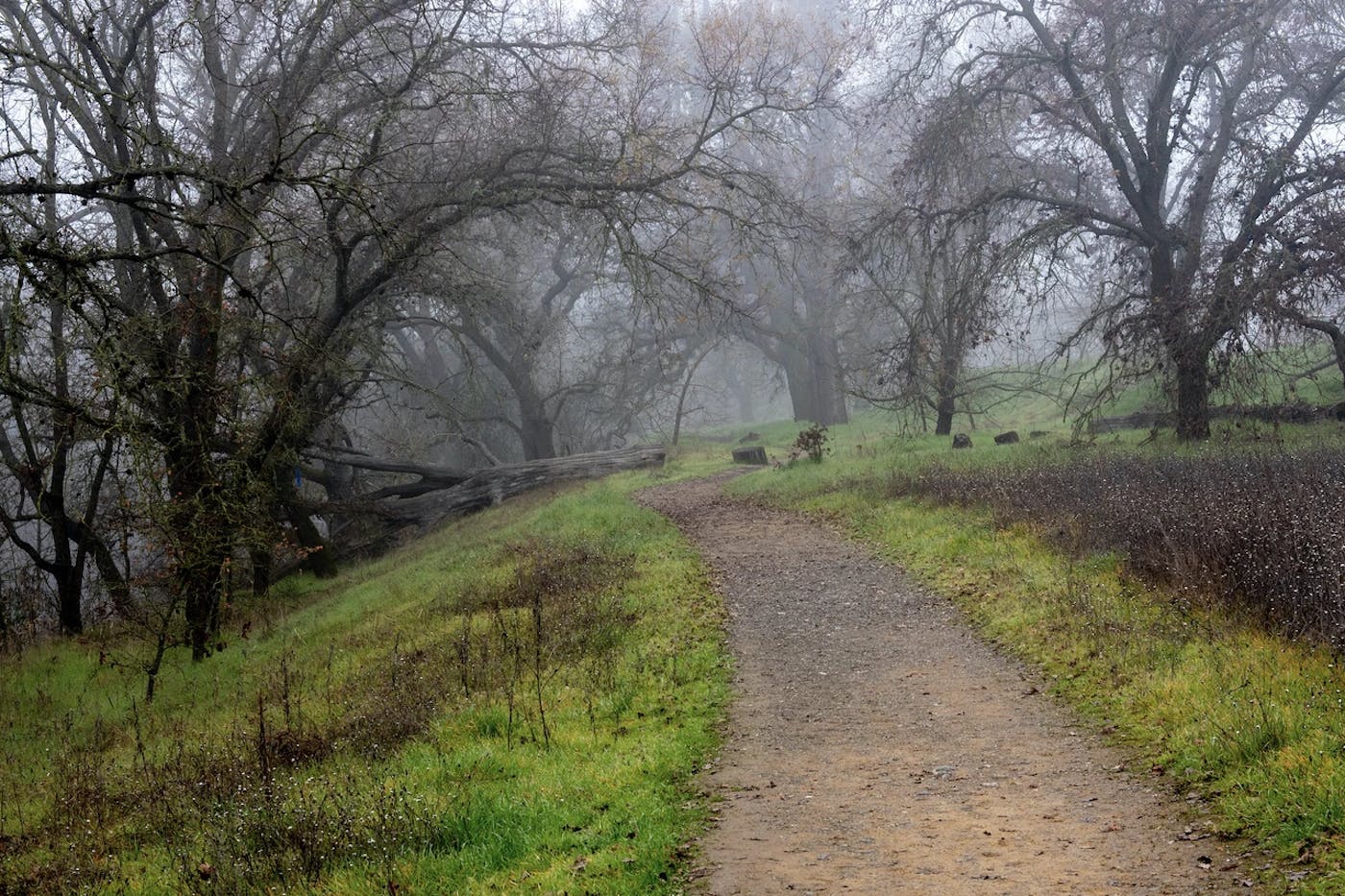
California oak woodlands are host to half of the vertebrate species in California. They play an essential role in air, soil, and water quality and are increasingly vulnerable to catastrophic wildfire. However, while most recognize the need to avert disaster by restoring ecosystem resilience, reaching consensus across many jurisdictions and interests can take 2-10 years. Current plans lack critical local, cultural, and environmental knowledge, which can lead to lawsuits or other delays. As California wildfires continue to increase, time is of the essence.
The ForeverGreen Forestry project is a woman-owned business collaborative preparing communities to live with wildfire. It is founded by former Silicon Valley tech leaders, foresters, and scientists. The project has partnered with Land Tender, a cutting-edge technology platform developed by Vibrant Planet that can monitor and model fine detail interventions in forest ecosystems to make them more resistant to wildfire while increasing carbon storage and biodiversity value.
The western foothills of Yolo and Solano counties are north of the Sacramento River Delta, between the urban Sacramento and San Francisco Bay Areas. Blue Ridge, dividing the Central Valley from Napa, is blanketed with oak trees. For thousands of years, the Yocha Dehe Wintun tended these lands with cultural fire. The Capay Valley is also home to many of the earliest certified organic farms and is currently a leader in practicing regenerative agriculture.
Funding of this project will:
- Construct a detailed data repository, or Stewardship Atlas, for the 315,000-acre Blue Ridge area of Yolo and Solano Counties.
- Prioritize ecosystem restoration and create a climate resiliency plan for the area. This includes a project framework to allow managers to treat areas quickly. Each proposed project area will consist of comparable and quantifiable carbon, biodiversity, fire dynamics, and ecosystem resilience, among other metrics.
- Establish several sub-planning areas with strategic action plans in Yolo County, Solano County, Capay Valley, Putah Creek, and Green Valley.
- Quantify the avoided loss and ecosystem benefits of treatments on essential resources and assets like oak forests, carbon, water, and infrastructure.
- Create state-of-the-art Community Wildfire Protection Plans (CWPPs) for Yolo and Solano counties.
- Remove 6 MMT of carbon dioxide pyrogenic and biogenic emissions while improving water reliability and biodiversity.
- Ensure local food security by creating tangible actions for local organic and regenerative farmers.
- Provide four years of licenses and support.
- Organize two years of project monitoring to begin once a critical mass of treatment progress has been made.
- Plan cost savings of over $3 million compared to traditional, multi-year, paper-based planning processes.
This project aims to have native oaks and pines and their dependent species survive climate change and fire. Neighboring Yolo & Solano residents will be prepared, like historic tribal communities, for frequent, cool fires. Ranchers will reintroduce fire to their pastures to improve soil health, reduce fuel, and support grazers and native species. Nearby organic and regenerative farmers will produce healthy food while enhancing local ecosystem resiliency. The Yocha Dehe tribe will continue to steward this land as they have for millennia. Other bioregions will be able to replicate this model to create climate resiliency.
Additionally, the project will combine cutting-edge data and visual, cloud-based, scenario-building technology with local ecological expertise. This will help collaborators create restoration strategies to increase climate resiliency and calculate carbon and other ecosystem benefits. This project showcases Land Tender’s ability to improve the community fire planning process tied to Community Wildfire Protection Plans (CWPPs) and put the system to work in areas including local communities, native ecosystems, and organic and regenerative farms.
Land Tender also creates high-resolution biophysical and anthropogenic data, unified in a Stewardship Atlas, to enable assessment of the current state of wildland and community risk and resilience. The Stewardship Atlas is a dynamic map of ecologically-based landscape segments that package the appraised values of, and threats to, the assets and resources located within them. It shows the return on investment from treatment, quantified in terms of avoided loss and current benefits.
Collaborators then use Land Tender to create and compare coordinated risk mitigation and treatment benefit scenarios within the Stewardship Atlas, enabling well-informed decisions in days rather than years. Land Tender will soon have additional functionality to support post-fire hazard mitigation, restoration, and replanting.