Webinar Recap: Integrating Climate Action and Biodiversity Conservation into a Blueprint for a Livable Planet

Each Wednesday, One Earth will be featuring a webinar recap from organizations and scientists around the world that focus on important topics such as biodiversity, conservation, food justice, and the intersections of environmental and human health.
Bioneers is an innovative nonprofit organization that connects people and solutions for restoring the planet. This year, their annual conference was held virtually and One Earth’s Co-founder and Executive Director, Justin Winters, led a panel discussion on the creation, application, and the goals of the Global Safety Net (GSN). Essentially, the GSN is a blueprint on how to solve the twin crises of biodiversity loss and climate change with a clear focus on Indigenous rights and stewardship.
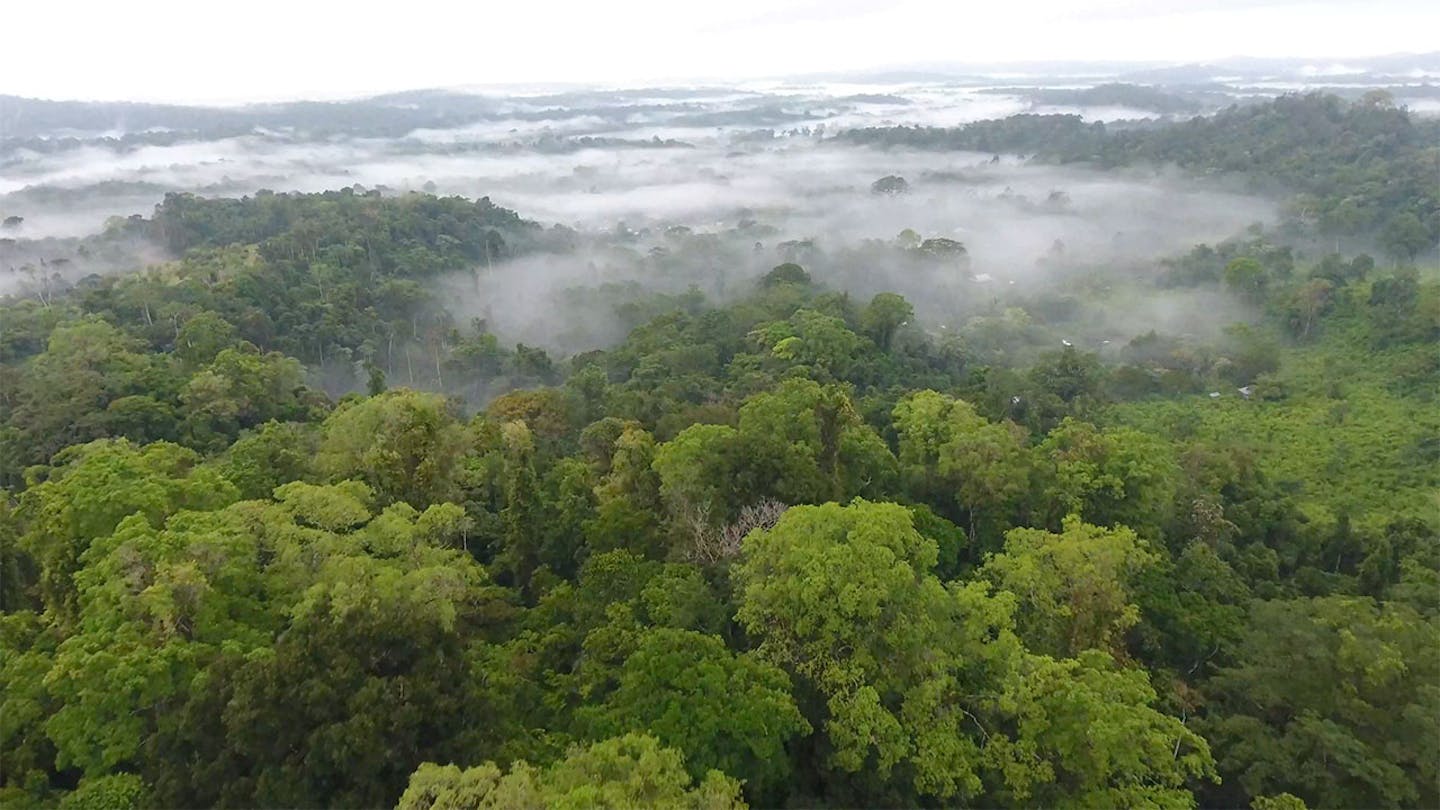
First to speak is Carly Vynne, a Strategic Partner at RESOLVE and co-author of the GSN paper that was published in September 2020. Dr. Vynne begins by reiterating one of the essential parts of limiting global temperature rise is by protecting and conserving 50 percent of the Earth’s land. However, she points out that “nature isn’t evenly dispersed” and so, a two year scientific effort was made to redraw the map of the world. Using satellite imagery, the first layer of the GSN is already protected areas such as national parks and wildlife sanctuaries. Next, are rare species sites which are the only areas specific flora and fauna are found and need to be protected immediately. High biodiversity areas are third. These “centers of richness” were found in collaboration with Google Earth. Regions with large mammals, continuous intact wilderness, and climate stabilization areas complete the mapping of the GSN. Together, all of these areas total precisely 50 percent and the goal is that local and regional groups can use this model as a blueprint to take action in their areas.
If Dr. Vynne’s portion is the science behind the GSN, then Karl Burkart’s, the Managing Director of One Earth, is how to use the GSN as a tool. Upon entering the GSN app, one can see all the layers that Dr. Vynne described in a color coded format. The interactive map by default provides international lines so that the viewer can find their specific country. By clicking a country, or state where available, the app breaks down that country’s layers and gives them a ranking. The goal of the rankings and the use of the GSN tool is to “raise ambition for conservation.” One can also turn off the international lines and see “Nature’s boundaries” or the ecoregions of our planet.
Oscar Soria, Campaign Director at AVAAZ, and Angela Amanakwa Kaxuyana, part of the senior leadership of the Brazilian Coordination of Indigenous peoples in the Amazon, both present the next portion which is how the GSN is being used now in the real world. With 80 percent of the global biodiversity managed or owned by Indigenous people, Kaxuyana points out that scientists and native communities have long held the same goal of wanting to project the planet. Soria says the GSN has provided campaigners and grassroots organizations the key information they need to take action to stop development projects and promote land conservation.
In summary, the response from the GSN has been one of hope. Over 100 articles have been written, 40 maps have been requested by local authorities, and the overall narrative is changing that the environmental issues we currently face, though immense, are solvable. We are left with the next big step - a formal recognition of Indigenous lands is the fastest way to make this happen in regards to protecting biodiversity and solving climate change.
Subscribe to receive monthly updates on climate solutions, environmental heroes, and the profound beauty and wonder of our shared planet Earth.