Davis Highlands Tundra
The ecoregion’s land area is provided in units of 1,000 hectares. The protection goal is the Global Safety Net (GSN1) area for the given ecoregion. The protection level indicates the percentage of the GSN goal that is currently protected on a scale of 0-10.
Bioregion: Canadian Tundra (NA2)
Realm: Subarctic America
Ecoregion Size (1000 ha):
9,805
Ecoregion ID:
415
Conservation Target:
39%
Protection Level:
7
States: Canada: NU
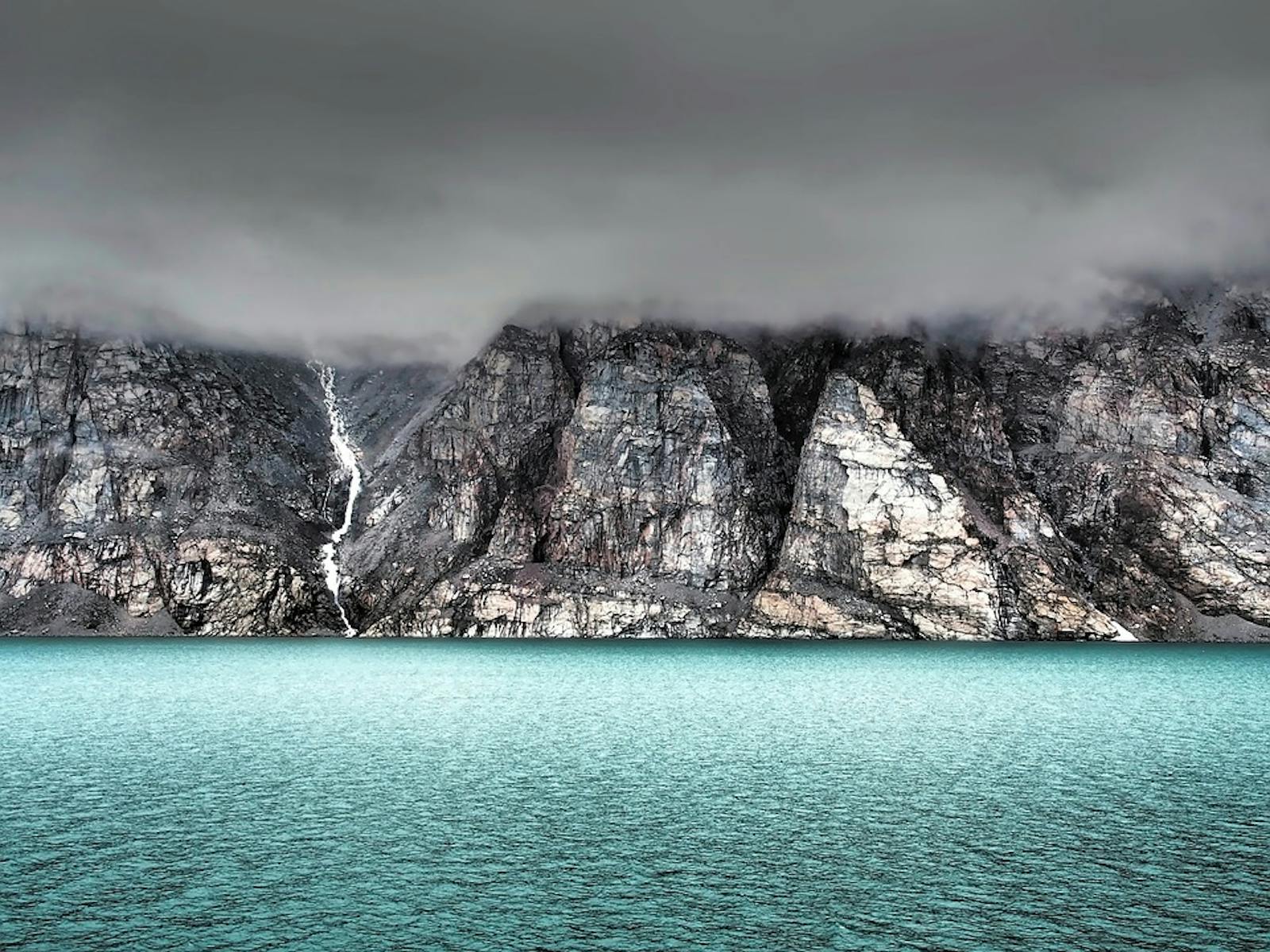
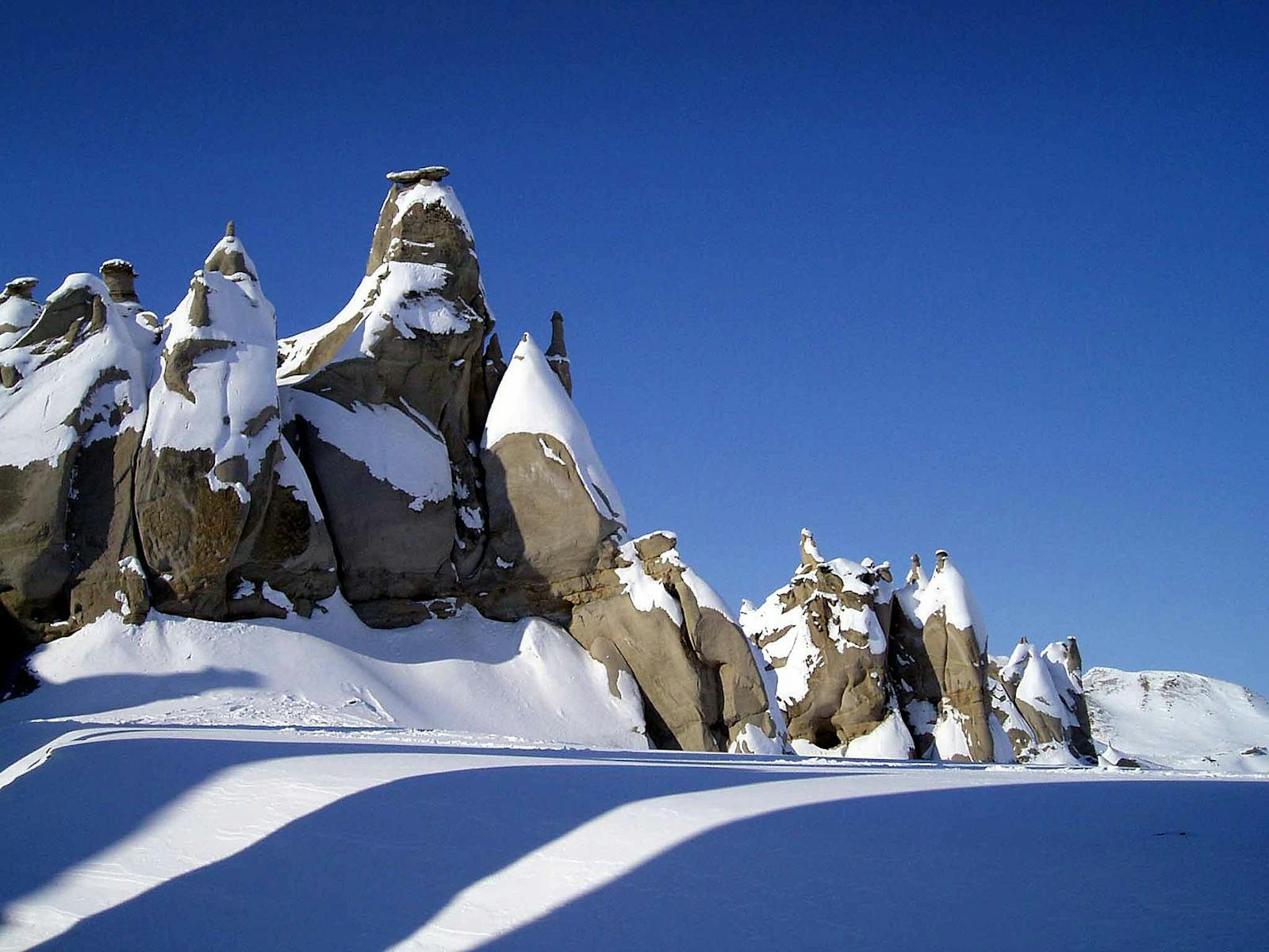
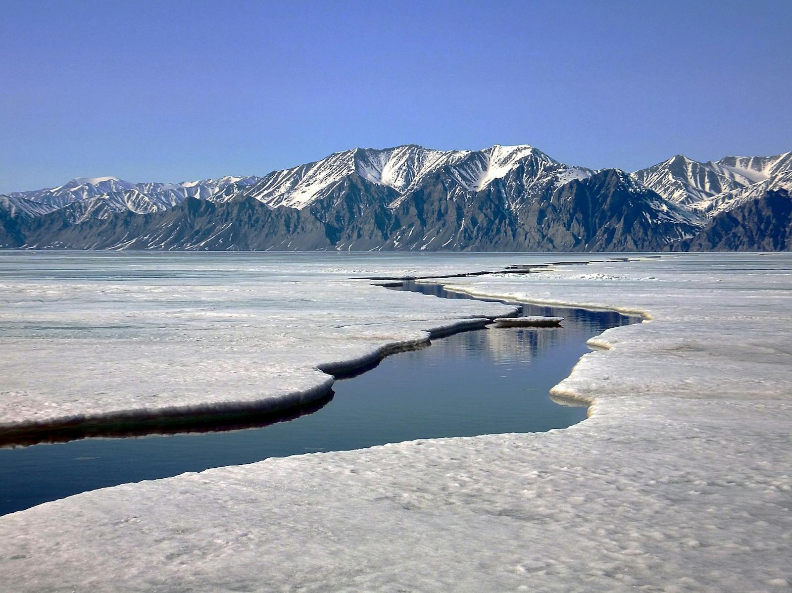
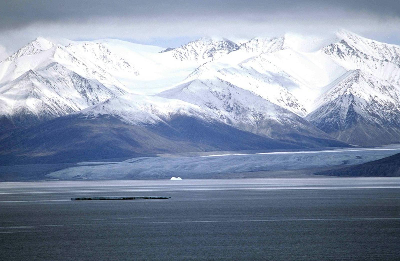
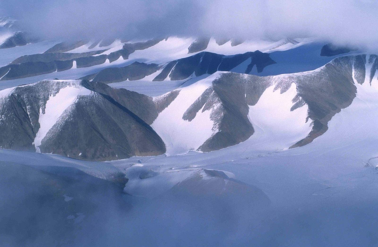
The Davis Highlands Tundra ecoregion occupies the rugged mountain chain along the eastern coast of Baffin Island, Nunavut, and the relatively narrow coastal plain adjacent to Davis Strait, the sea passage that separates Greenland from Baffin Island and connects Baffin Bay to the Atlantic Ocean. The coastal plain was formerly recognized as its own small ecoregion, the Baffin Coastal Tundra. Rugged topography distinguishes the Davis Highlands Tundra from the adjacent Canadian High Arctic Tundra on Baffin Island.
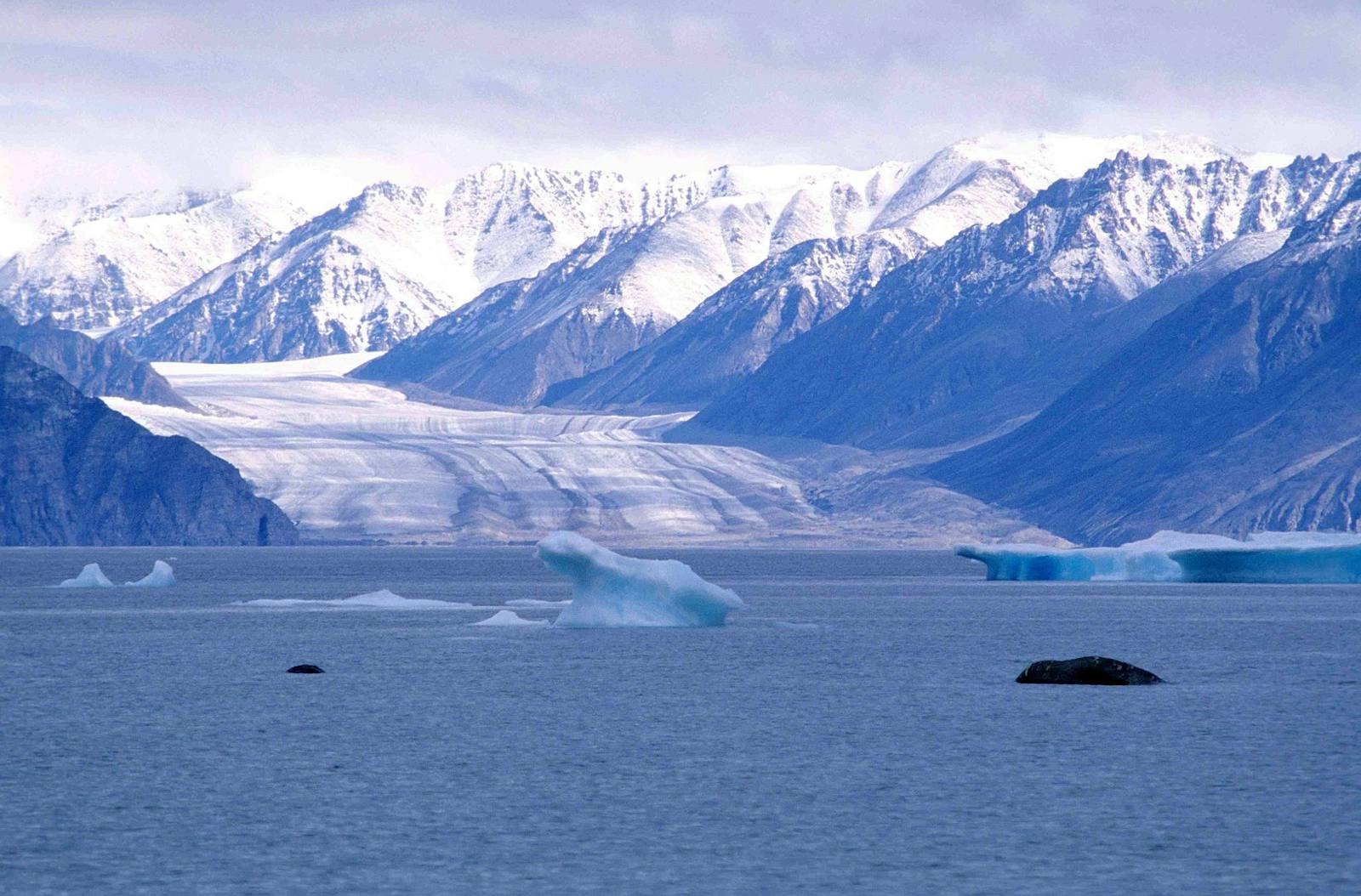
The mountain chain is known as the Baffin Mountains of the Arctic Cordillera, an elevated belt of deeply dissected and often exposed crystalline rocks paralleling the coastline. The mountains, which peak at 1,525 m to 2,135 m in elevation, slope more gently westward. Their eastern slopes are penetrated by deep, steep fjords of seawater, many with glaciers filling their upper reaches. The northern end of the ecoregion is the large (11,067 km2) Bylot Island, also part of the Baffin Mountains. Although about 85% remain intact, only 29% of this ecoregion is protected. The significant protected areas are Auyuittuq National Park near the southern end of the ecoregion and Sirmilik National Park near the northern end, largely on Bylot Island.
The climate of this ecoregion is high Arctic and oceanic high Arctic, often described as polar maritime. Summers are short and cool and winters long and cold, but precipitation and humidity are higher than in the Canadian High Arctic or Middle Arctic ecoregions. Mean annual temperature is around -11.5ºC, mean summer temperature about 1ºC, and mean winter temperature -23ºC. Permafrost is continuous and has low ice content. Average annual precipitation is 200–400 mm over most of the region but reaches 400–600 mm in the southern part of the ecoregion, on the Cumberland Peninsula.
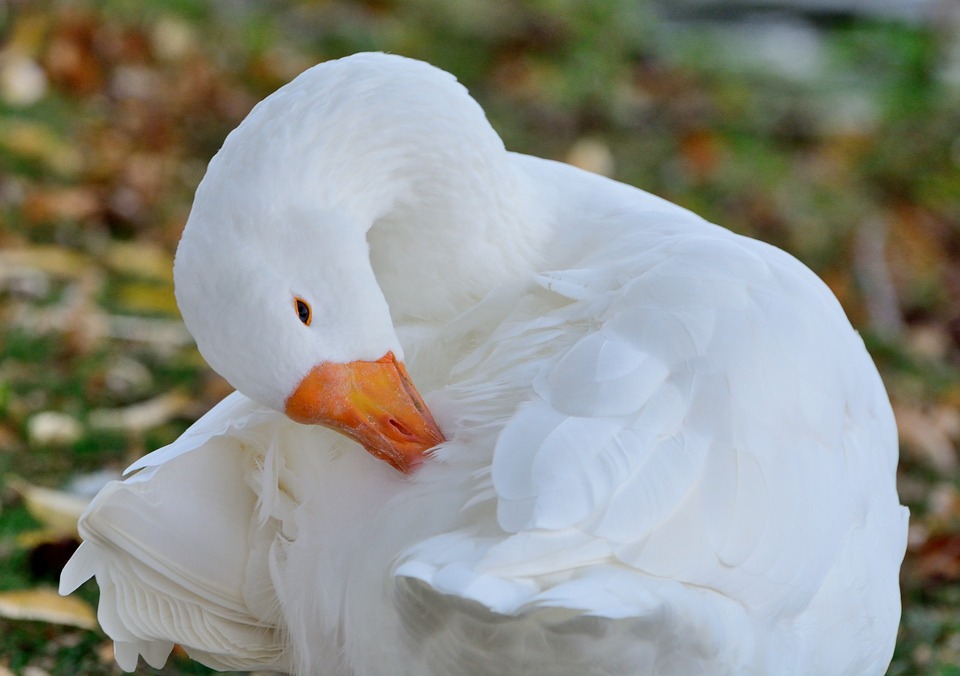
The flagship species of the Davis Highlands Tundra ecoregion is the greater snow goose. Image credit: Creative Commons
The dominant vegetation is a patchy cover of mosses, lichens, and cold-adapted herbs and dwarf shrubs, including cottongrass and other sedges, mountain avens, dwarf birch, Arctic willow, Arctic heather, northern bilberry, Arctic poppy, mountain sorrel, and grasses such as polar grass. Wetlands often have dense vegetation of water sedge, white cottongrass, tall cottongrass, and rushes, among other species. The wetlands on the south plain of Bylot Island contain 160 species of vascular plants, which is impressive for an Arctic site.i
Mammals characteristic of this ecoregion include polar bear (in coastal areas), wolf, Arctic fox, barren-ground caribou, Arctic hare, and brown and collared lemmings. Marine mammals include beluga whale, other whales, seals, narwhal, and walrus. Bylot Island has one of the world’s largest breeding colonies of greater snow goose (note: while greater and lesser snow geese are often considered separate subspecies, more likely they are just different size morphs). Thick-billed murres and black-legged kittiwakes have major colonies on cliffs along the coast, especially on Bylot Island. Other characteristic birds include gyrfalcon, peregrine falcon, rough-legged hawk, snowy owl, king eider, rock ptarmigan, northern fulmar, plovers, hoary redpoll, and snow bunting.
An ecoregion as wild and spectacular as the Davis Highlands Tundra should be able to accommodate more than 29% protection. Priority conservation actions for the next decade are: 1) greatly expand the network of protected areas across the ecoregion; 2) prohibit incompatible uses within designated protected areas; and 3) protect vulnerable species from over-harvest and monitor populations.
Citations
1. Ricketts, T.H. et al. 1999. Terrestrial Ecoregions of North America: A Conservation Assessment. Island Press, Washington, D.C.
2. Ecological Stratification Working Group. 1995. A National Ecological Framework for Canada. Environment Canada and other agencies, Ottawa.
3. Sirmilik National Park. https://en.wikipedia.org/wiki/Sirmilik_National_Park
