

Southern Acacia-Commiphora Bushlands and Thickets
The ecoregion’s land area is provided in units of 1,000 hectares. The protection goal is the Global Safety Net (GSN1) area for the given ecoregion. The protection level indicates the percentage of the GSN goal that is currently protected on a scale of 0-10.
Bioregion: Greater African Subequatorial Savannas & Mixed Woodlands (AT11)
Realm: Afrotropics
Ecoregion Size (1000 ha):
23,543
Ecoregion ID:
57
Conservation Target:
35%
Protection Level:
10
States: Tanzania, Kenya
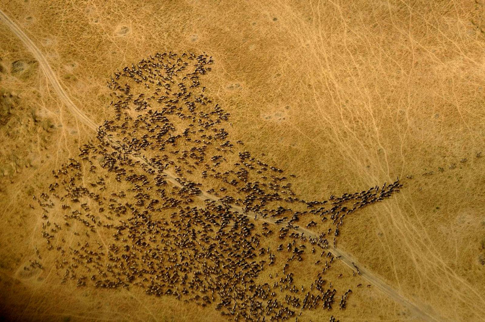
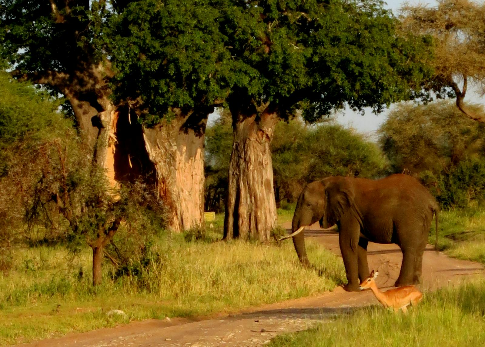
The entire ecosystem of the Southern Acacia-Commiphora Bushlands and Thickets ecoregion is one driven by the rains. The vast savanna plains typical of this ecoregion are teeming with life, supporting some of the largest aggregations and migrations of large mammals in the world, including parts of the 1,000 km long, annual Serengeti-Mara migration that follow the rain patterns.
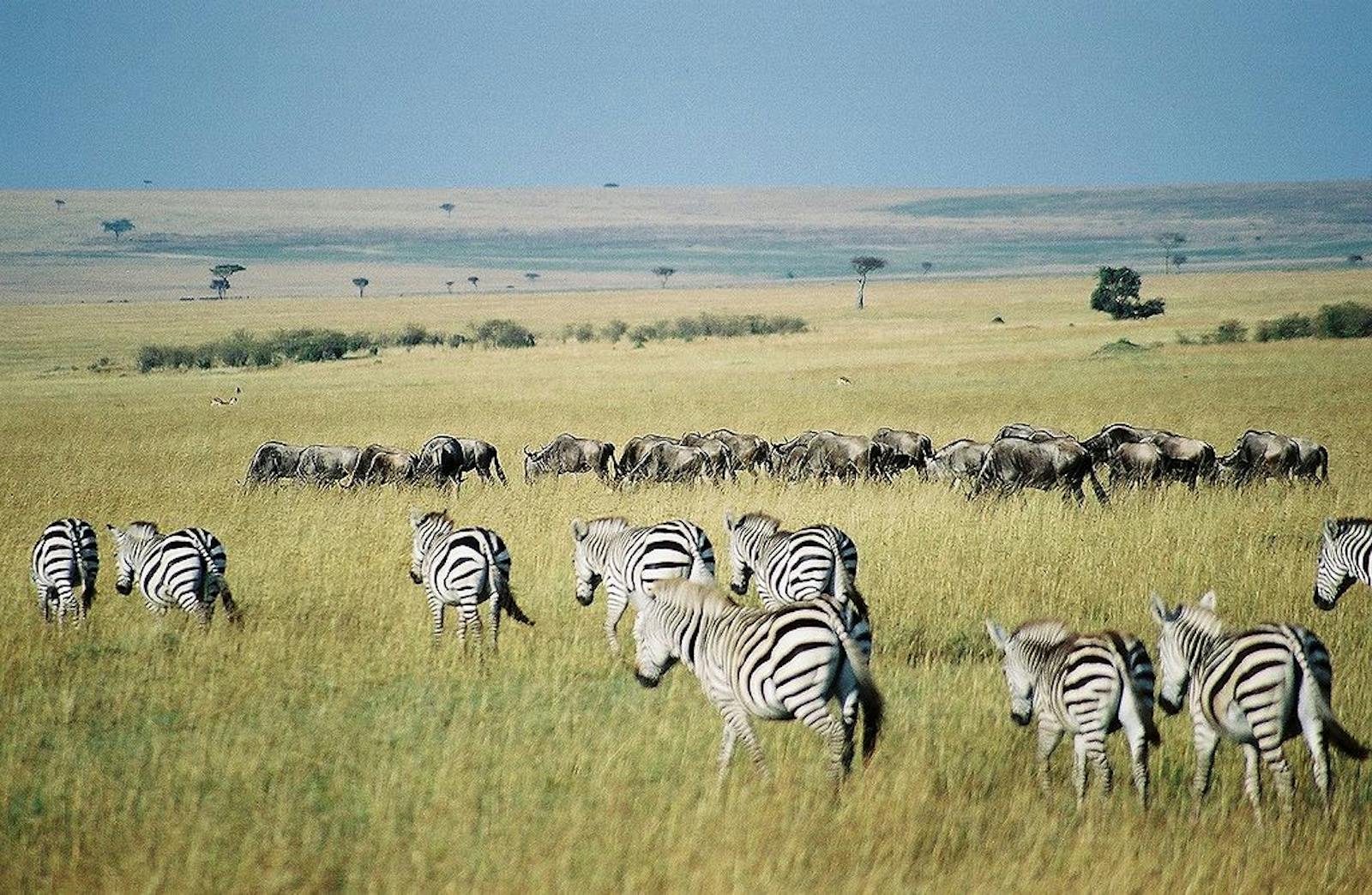
Approximately 1.3 million blue wildebeest, 200,000 Burchell’s zebra, and 400,000 Thomson’s gazelle, along with a full guild of predators, participate in this phenomenal pursuit for water and pasture. This is the largest number of ungulates that are associated with the highest concentration of predators in the world.
.")
The flagship species of the Southern Acacia-Commiphora Bushlands and Thickets ecoregion is the blue wildebeest. Image credit: Creative Commons
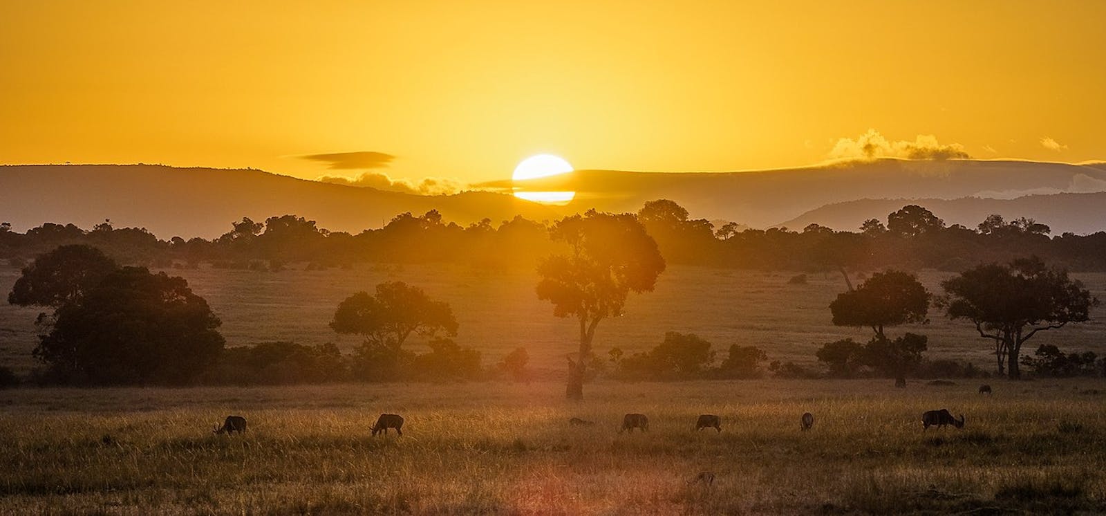
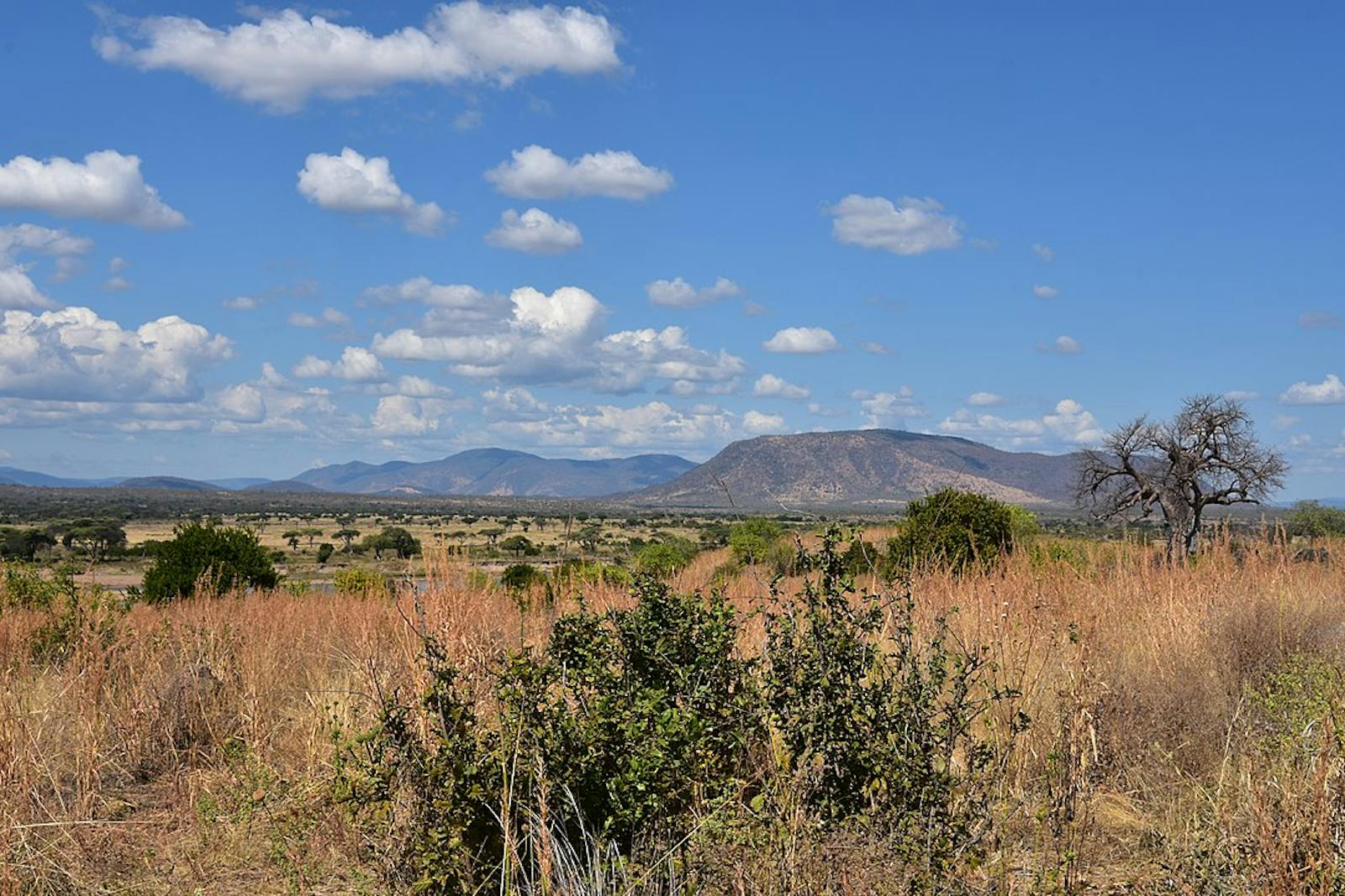
The ecoregion is located in north central Tanzania, and extends into southwestern Kenya on the eastern margins of Lake Victoria. The climate is tropical with a bimodal rainfall pattern. A longer rainy season occur from March to May and a shorter season from November to December, though the latter is less predictable. Mean rainfall is 600 to 800 mm annually through most of the ecoregion, with extremes of 500 mm in the dry southeastern plains and 1,200 mm in the northwestern portion in Kenya. Mean maximum temperatures are around 30°C at lower elevations and as low as 24°C in the highest part of the ecoregion. Mean minimum temperatures are normally between 13°to 16°C.
Precambrian basement rocks (up to 2.5 billion years old) underlie most of the ecoregion, and often outcrop as inselbergs (kopjes) or small mountains. The Serengeti Plains are comprised of volcanic ash derived from local volcanoes such as the extinct caldera of Ngorongoro, and the dormant volcanoes of Kerimasi and Oldonyo Lengai (last eruption in 1966).
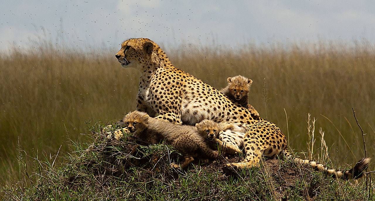
Cheetah with cubs. Image credit: Siddharth Maheshwari, Creative Commons
While there is appreciable variation in the floristic composition in the vegetation, the genera Acacia, Commiphora, Capparidaceae, and Grewia are nearly always present. In southwest Kenya, Acacia and Combretum dominate the vegetation. During the long dry season (August to October) the ecoregion becomes extremely desiccated—most trees lose their leaves, and the grasslands dry out and often burn.
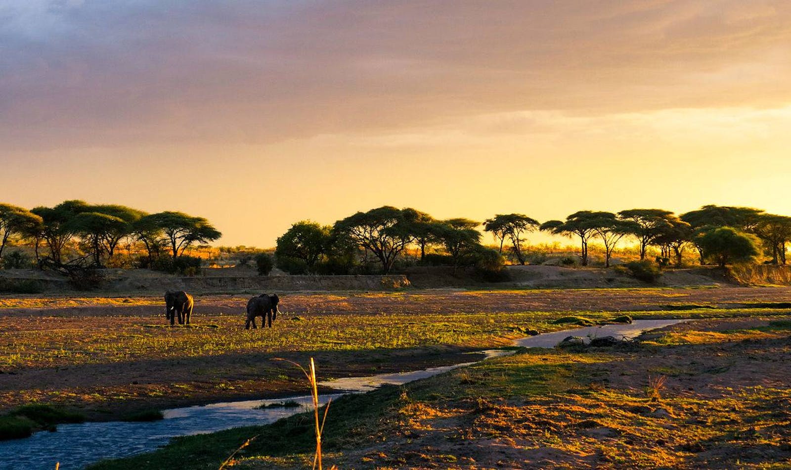
The Serengeti ecosystem supports an estimated 6,087 elephants and the Ruaha-Rungwa ecosystem, at the southern end of the ecoregion, supports approximately 8,272, according to a 2014 consensus. The Masai Steppe is an important habitat for lesser kudu, which ranges as far south as Ruaha National Park. The Serengeti National Park supports the largest ostrich population in Tanzania and most likely Africa as well as thousands of wildebeest, Thomson’s gazelle, impala, eland, hartebeest, buffalo, Grant’s gazelle, and black rhinos. Lion, leopard, wild dog, cheetah, and spotted hyena also occur.
-CC-Charles%20J%20Sharp-2018.jpg)
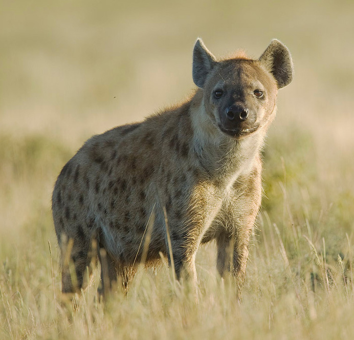
Spotted hyena. Image credit: Charles J Sharp, Creative Commons
The Serengeti Plains is also an endemic bird area supporting the restricted range species rufous-tailed weaver (monotypic genus), grey-crested helmetshrike, Fischer’s lovebird, and Karamoja apalis. Diverse assemblages of reptiles also occur, with three strict endemics: Mpwapwa purple-glossed snake, Mpwapwa worm lizard, and Mpwapwa wedge-snouted worm lizard.
Protected areas include Masai Mara National Reserve, Hell’s Gate and Nairobi National Parks in Kenya, Serengeti, Tarangire, Ruaha and Mkomazi National Parks, and Swagaswaga, Maswa, Grumeti, and Ikorongo Game Reserves in Tanzania. Ngorongoro Conservation Area also falls within this ecoregion. There are also game controlled areas (e.g. Loliondo) and a few forest reserves in Tanzania. Habitats are well conserved in the protected areas, but are subject to conversion outside these areas.
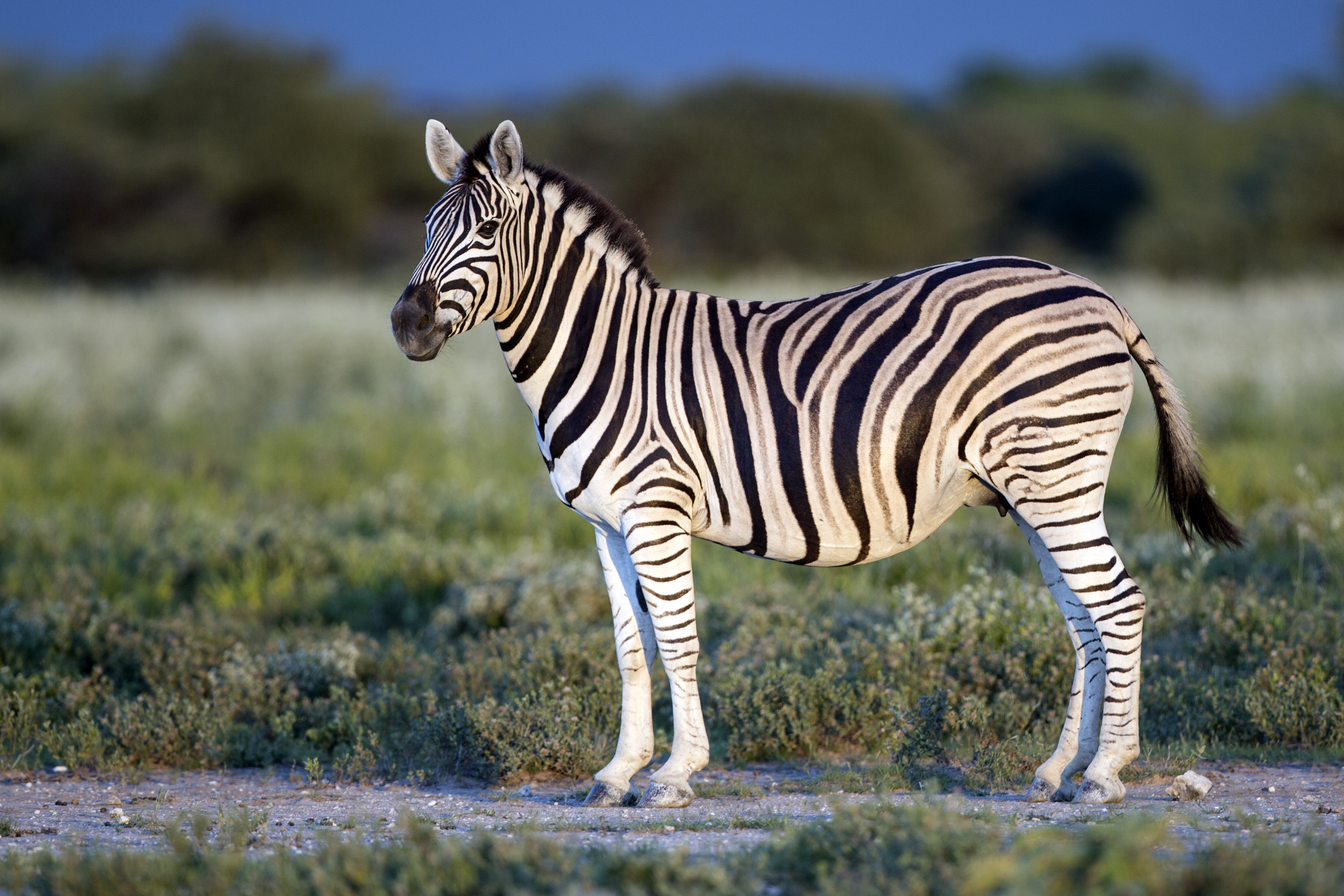
Burchell's zebra. Image credit: Yathin S Krishnappa, Creative Commons
Outside of protected areas, habitat conversion continues throughout the ecoregion, with much of the land suitable for agriculture already converted. Increasingly, the Masai are starting to undertake farming in this ecoregion during the long rains, a change from their traditional pastoralism.
To the north in Kenya conversion of the habitat to wheat farming is a particular problem, especially the Isiria Escarpment, a vital drought refuge for wildebeest and zebra. Parks and reserves within the ecoregion are also becoming isolated habitat islands, and the number of habitat corridors allowing seasonal and drought-related movements, as well as the natural migrations of species, is declining due to agricultural expansion.
Charcoal is the main cooking fuel in towns and surrounding areas and this mainly comes from unprotected woodlands within this ecoregion. Legal and illegal hunting for bushmeat and ivory is widespread, both for subsistence as well as for trade. Currently, elephant populations are decreasing in all areas of this ecoregion except for the Serengeti and Tarangire ecosystems where numbers are increasing. In recent years there has been a great expansion of mining, particularly for gold and Tanzanite, within parts of the ecoregion.
Spotted hyena. Image credit: Yathin S Krishnappa, Creative Commons
The priority conservation actions for the next decade will be to: 1) support community led land use planning to restore critical ecological links between protected areas; 2) improve anti-poaching law enforcement strategies and capacity through additional training and equipment; and 3) promote alternative energy sources including solar, natural gas, and wind to decrease deforestation for fuel wood and charcoal production.
Citations
1. Burgess, N., Hales, J.A., Underwood, E., Dinerstein, E., Olson, D., Itoua, I., Schipper, J., Ricketts, T. and Newman, K. 2004. Terrestrial ecoregions of Africa and Madagascar: a conservation assessment. Island Press.
2. Chase, M.J., Schlossberg, S., Griffin, C.R., Bouché, P.J., Djene, S.W., Elkan, P.W., Ferreira, S., Grossman, F., Kohi, E.M., Landen, K. and Omondi, P. 2016. Continent-wide survey reveals massive decline in African savannah elephants. PeerJ. 4.
3. Jones, T., Bamford, A.J., Ferrol-Schulte, D., Hieronimo, P., McWilliam, N. and Rovero, F. 2012. Vanishing wildlife corridors and options for restoration: a case study from Tanzania. Tropical Conservation Science. 5(4), pp.463-474.
4. The United Republic of Tanzania Vice President’s Office. 2015. National Biodiversity Strategy and Action Plan (NBSAP) 2015-2020. Dar es salaam, United Republic of Tanzania: Vice President’s Office, Division of Environment.

Subscribe to receive monthly updates on climate solutions, environmental heroes, and the profound beauty and wonder of our shared planet Earth.
